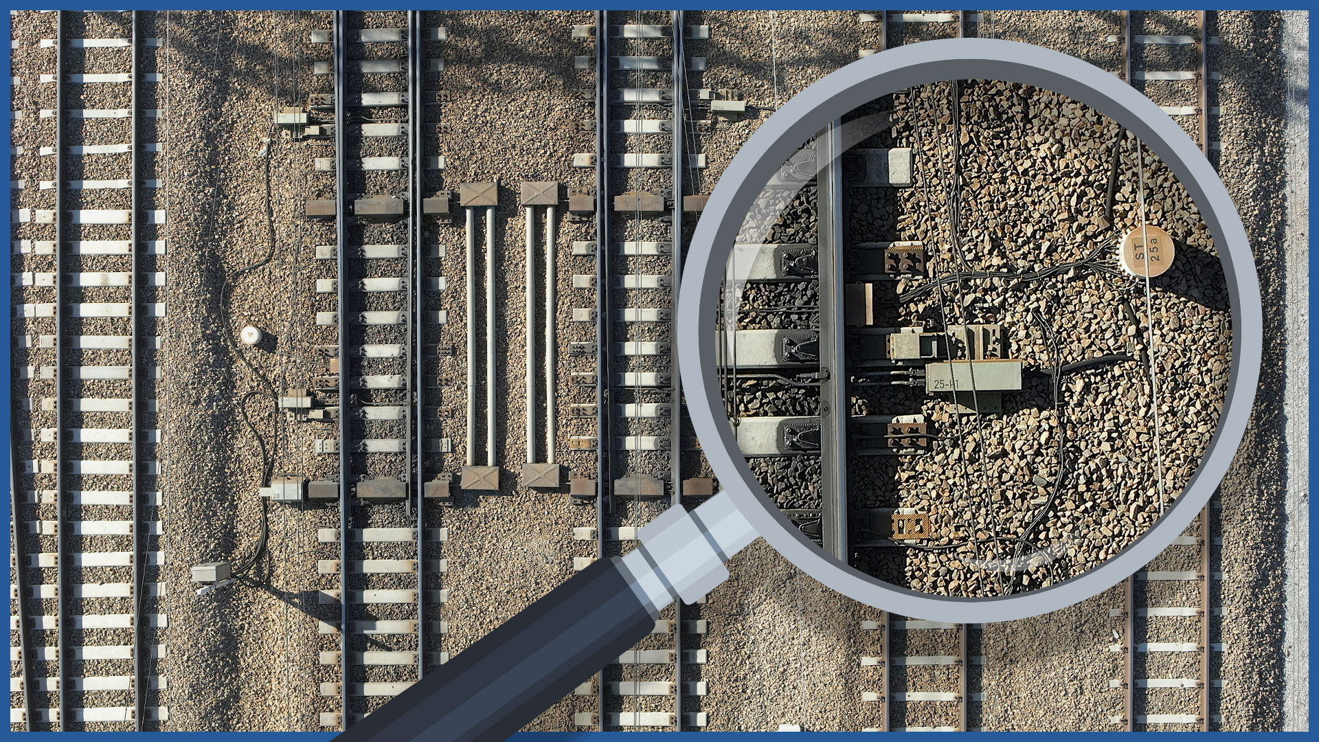
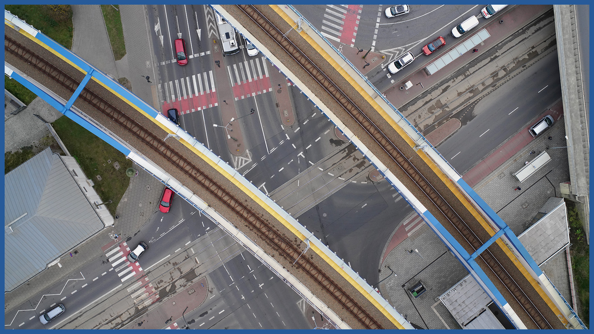
High-resolution orthophotos of railroad lines made by us with the method of low-altitude photogrammetry are characterized by very high detail and accuracy.
They are used at the stage of conception, design and acquisition of administrative decisions.
Performed periodically during construction process, they allow to monitor the progress of work, and after the completion of the investment they become part of the collared report.
We carry out rapid measurement of the entire railroad line along with adjacent areas (including places with difficult access) by making a high-resolution orthophotomaps. The measurement does not require the interruption of railroad traffic or construction work. The safety of those involved in its execution is increased.
The short time of the photogrammetric raid and data processing makes it possible to document the condition on a specific day in detail. For this reason, efficiency is much higher compared to traditional surveys.
The cartometricity and accuracy of orthophotos allow basic spatial analysis: distance and area measurements for all imaged elements. The data provide an ideal basis for project documentation and with information from the real estate cadastre (e.g. plot boundaries, the course of utility networks) – so you can check the correctness of design assumptions or inspect the course of ongoing or completed construction work.
ORTHOPHOTOMAP CHARACTERISTICS:
| Data format | GeoTIFF / JPEG / PDF |
| Ground Sampling Distance | od 1 cm |
| Accuracy | <3 GSD |
| Coordinate System | adapted to project |
| Color palette | 24 bit RGB |
| Compression | LZW / JPEG |
/ OTHER FROM RAILWAY INFRASTRUCTURE
- high-resolution railway orthophotomaps
- dense point clouds
- digital terrain models
- zero measurement
- high-resolution photo/video documentation to assess the condition of the railroad:
– rails and railroad sleepers
– traction network and surrounding infrastructure
– bridges, viaducts, flyovers, engineering structures


