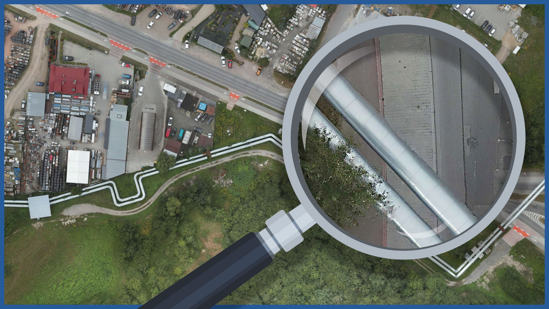
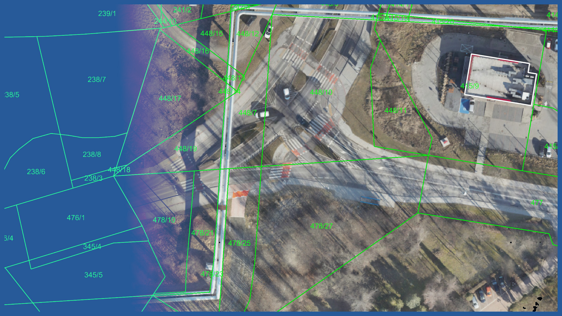
We make high-resolution orthophotomaps for in the routes of planned projects and exitsting infracture. We use low-altitude aerial techniques, and our vessels are equipped with high-resolution cameras. As a result, we get very detailed terrain imaging (spatial resolution down to 1 centimeter) and high accuracy.
We perform work quickly, even in areas with difficult access. The specialized software we use allows us to develop and transfer finished materials to the client in a short time.
Our orthophotos are used in planning and design processes and supplement GIS databases of transmission infrastructure managers.
They are used for:
– creating concepts and obtaining administrative decisions
– design as a supplement to the map for design purposes or as a stand-alone product
– taking over the construction site before the start of the investment as a document securing the Investor and the contractor
– collation operation.
When used in CAD or GIS programs, they allow detailed measurements of actual objects. They also perform the function of visual presentation of the depicted area with parameters such as dimension, accuracy, scale with simultaneous embedding in the appropriate coordinate system.
ORTHOPHOTO CHARACTERISTICS:
| Data format | GeoTIFF / JPEG / PDF |
| Ground Sampling Distance | od 1 cm |
| Accuracy | <3 GSD |
| Coordinate System | adapted to project |
| Color palette | 24 bit RGB |
| Compression | LZW / JPEG |
/ OTHER FROM HEAT NETWORKS
Airborne thermal imaging:
- qualitative analysis of the network condition
- location of the actual course of underground heat networks
Support services for network design/ supervision/ maintenance:


