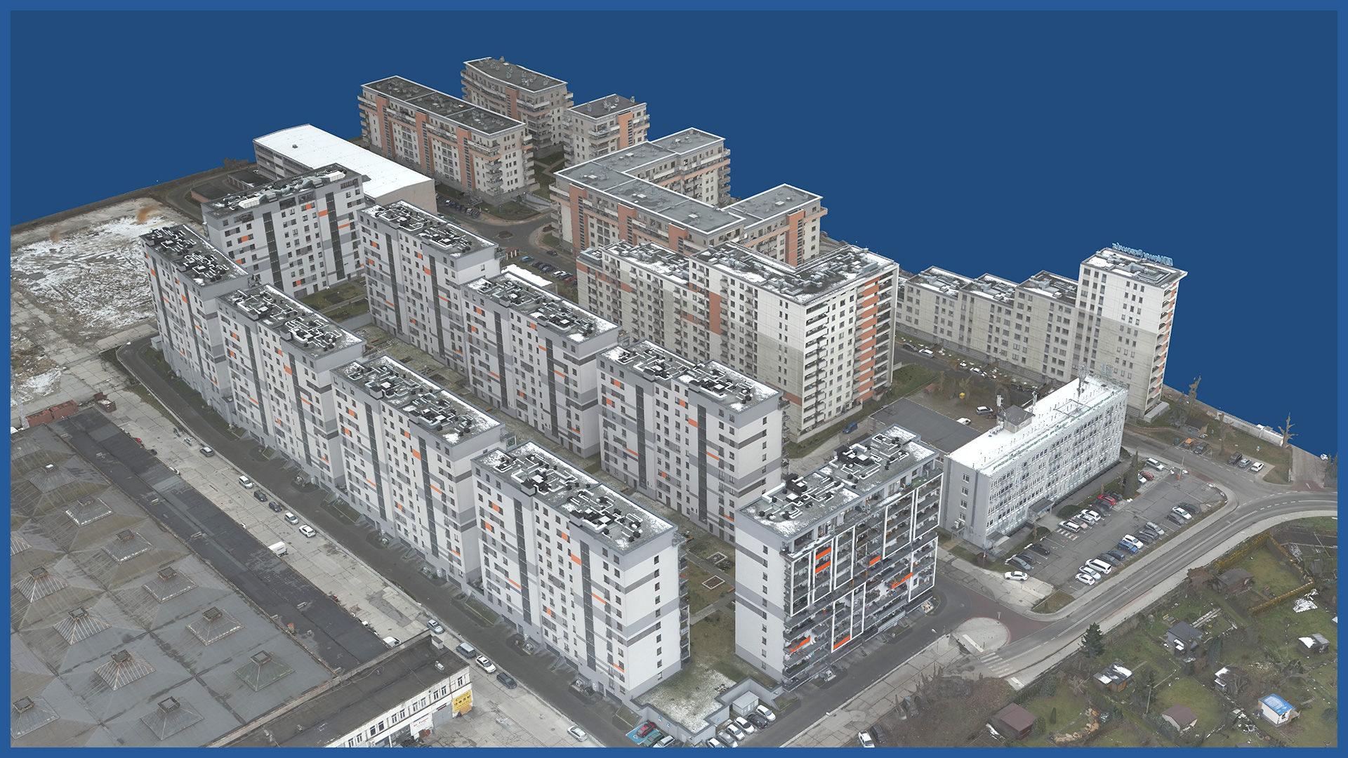
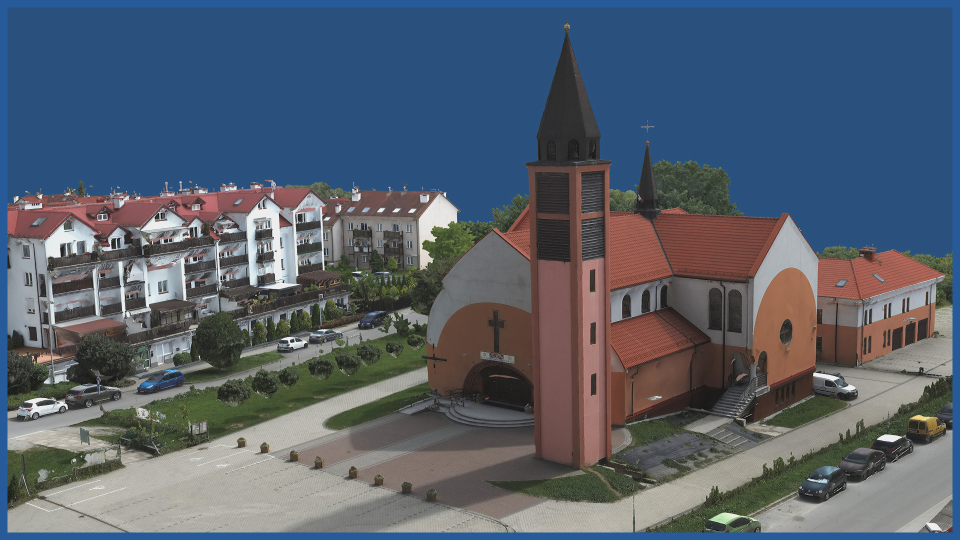
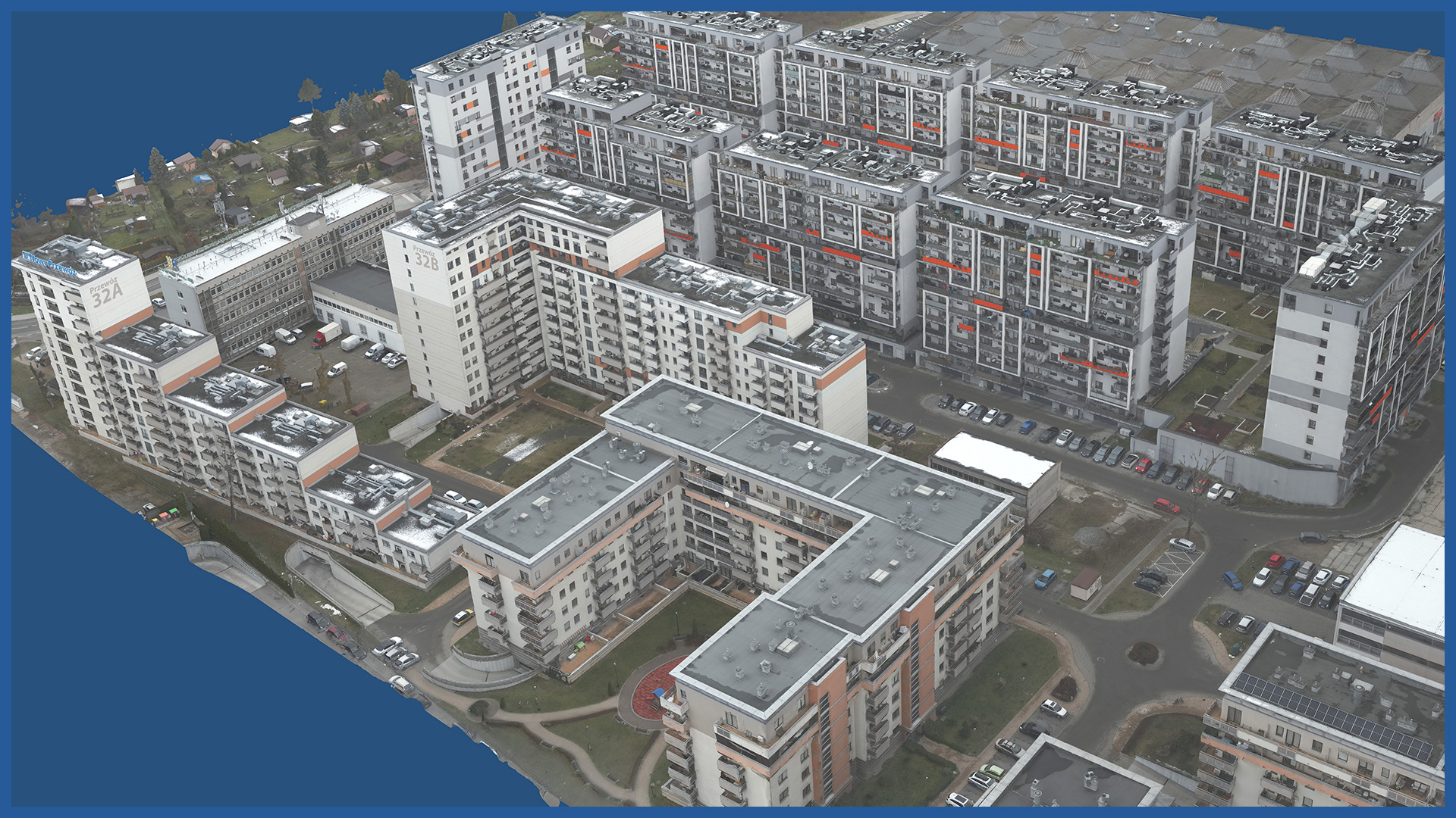
We create photorealistic and accurate 3D models of objects and their surroundings based on aerial measurements (low-altitude photogrammetry). Models, thanks to georeferencing, are embedded in a specific coordinate system. They are characterized by high accuracy and detail.
Objects and their surroundings are reproduced faithfully, they are not “scaled”, and thus retain the real dimension.
The models are used in the preparation of the construction process. They allow the general contractor to check the accuracy of the project documentation, to embed the project in the current and real depiction of the site, and to plan the planned works accurately.
Models made periodically during construction allow monitoring the progress of ongoing work.
Once the investment is completed, they become part of the collation report.
Thanks to the high-end camera we use, the 3D models have high-resolution textures, on which even the smallest details are visible.
The digital model can be used both for visualization and presentation of objects, as well as for more detailed and accurate analysis related to the construction process.
3D MODEL CHARACTERISTICS:
| Data format | 3ds / dae / obj / tls |
| Coordinate System | adapted to project |
| Vertical Reference System | adapted to project |
| Color palette | RGB / monochromatic / by elevation |
/ OTHER FROM BUILDINGS
- zero measurement
- orthophotomap before beginning of construction
- 3D depictions of the investment and its surroundings
- photoreports
- bulk material storage volume calculation
- facade orthophotos
- preparation and maintenance of a www service depicting the construction process
- photo and video presentation of the completed investment


