With the help of low-level photogrammetry, we create photorealistic 3D models of objects and their surroundings. The models have georeferenced data, which allows us to embed them in a specific coordinate system.
The amount of data we collect allows us to achieve the highest accuracy and detail of the measured objects. They are reproduced faithfully, are not “scaled”, and retain the actual dimension.
Depending on the demand, we use the following technologies and obtain products:
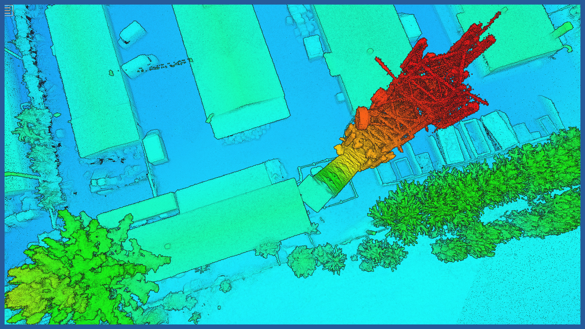
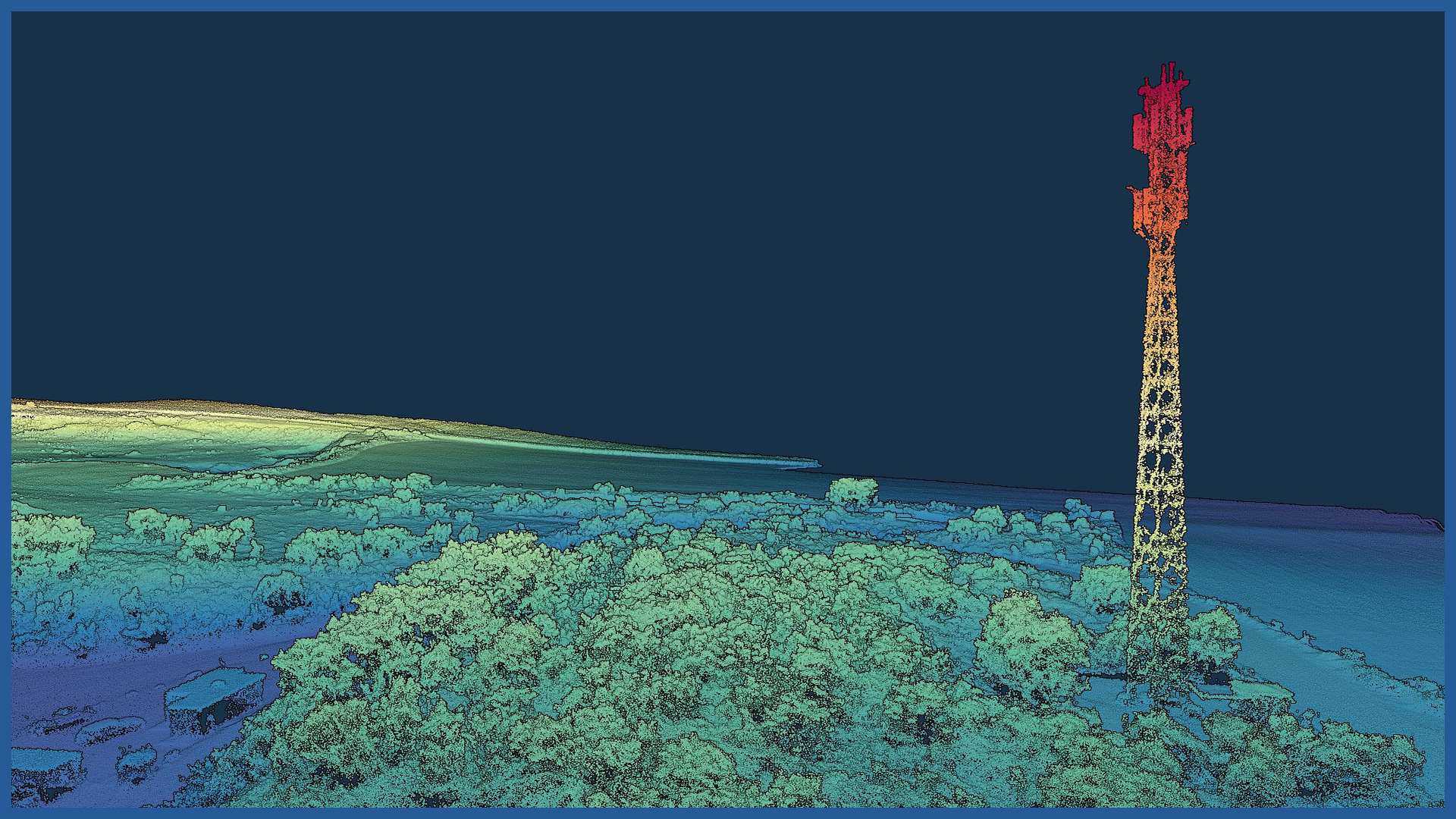
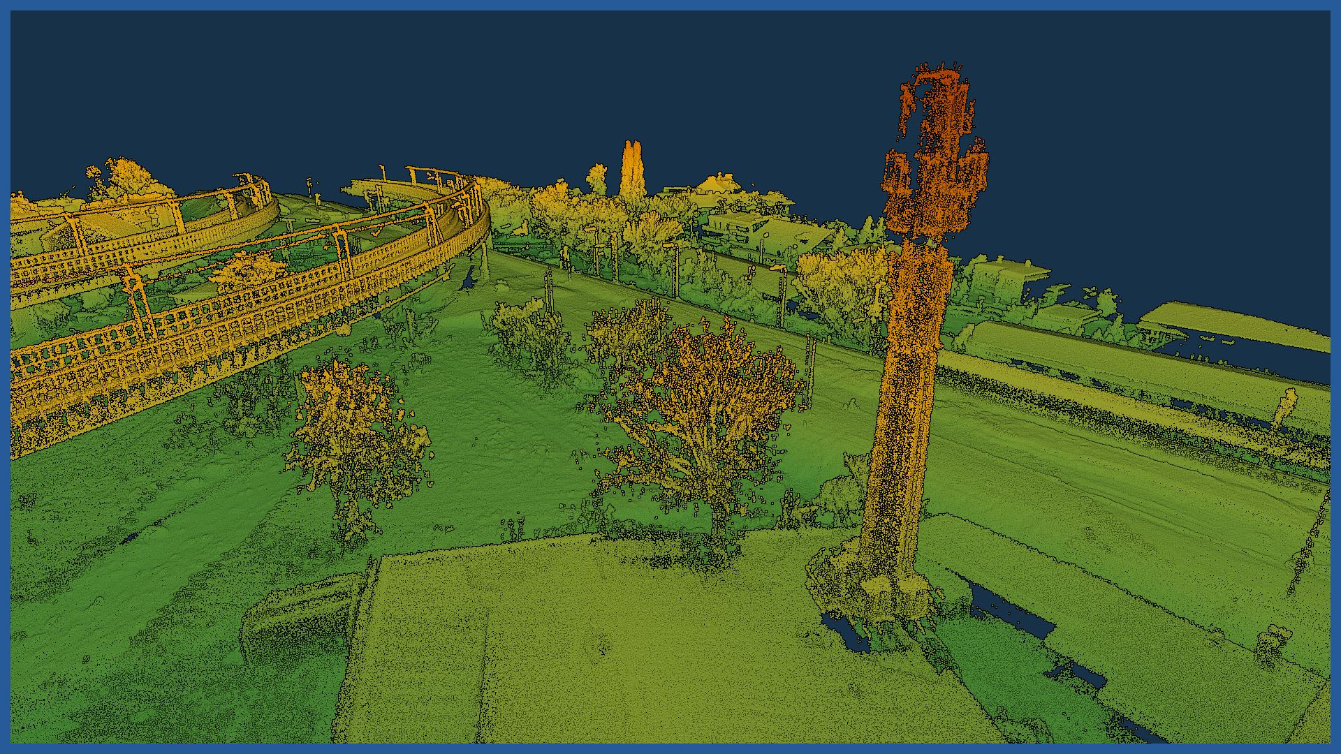
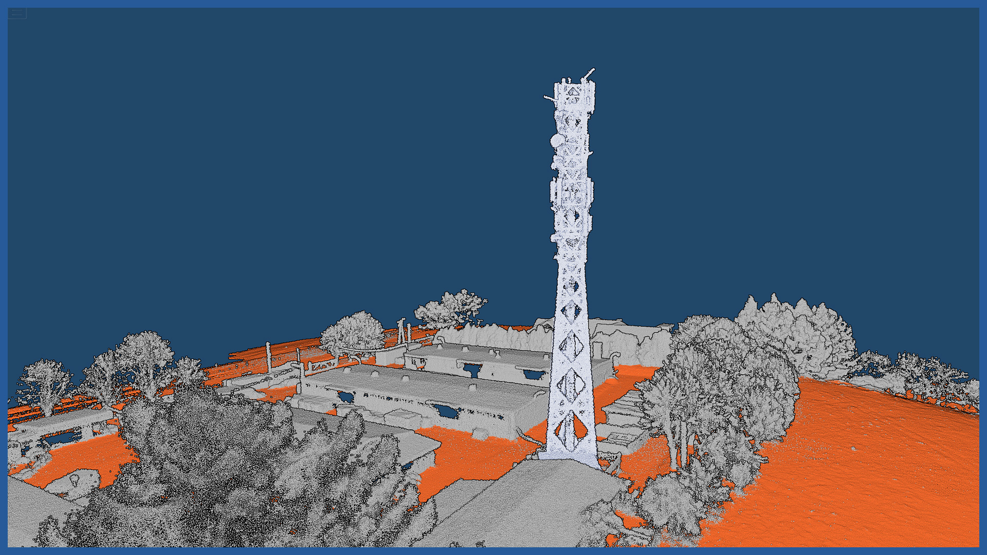
– low-altitude aerial scanning, the result of which is a dense point cloud
– aerial photogrammetry, the result of which is a photorealistic 3D model.
The professional cameras we use allow us to obtain 3D models that have very high resolution textures, where even the smallest details are visible.
The digital model can be used both for visualization and presentation of objects, as well as for more detailed and accurate analysis related to maintenance or reconstruction of the object. They can be used at the stage of planning, design and reconstruction of a telecommunications facility.
3D MODEL CHARACTERISTICS:
| Data format | 3ds / dae / obj / tls |
| Coordinate System | adapted to project |
| Vertical Reference System | adapted to project |
| Color palette | RGB / monochromatic / by elevation |
POINT CLOUD CHARACTERISTICS:
| Point cloud density (LiDAR) | ~400 pts/m2 |
| Point cloud density (photogrammetry) | ~2500 pts/m2 |
| Accuracy | <3 cm |
| Data format | LAS / LAZ / E57 / TXT |
| Color palette | RGB / monochromatic / by elevation |
| Classification | ASPRS standard |
| Coordinate System | adapted to project |


