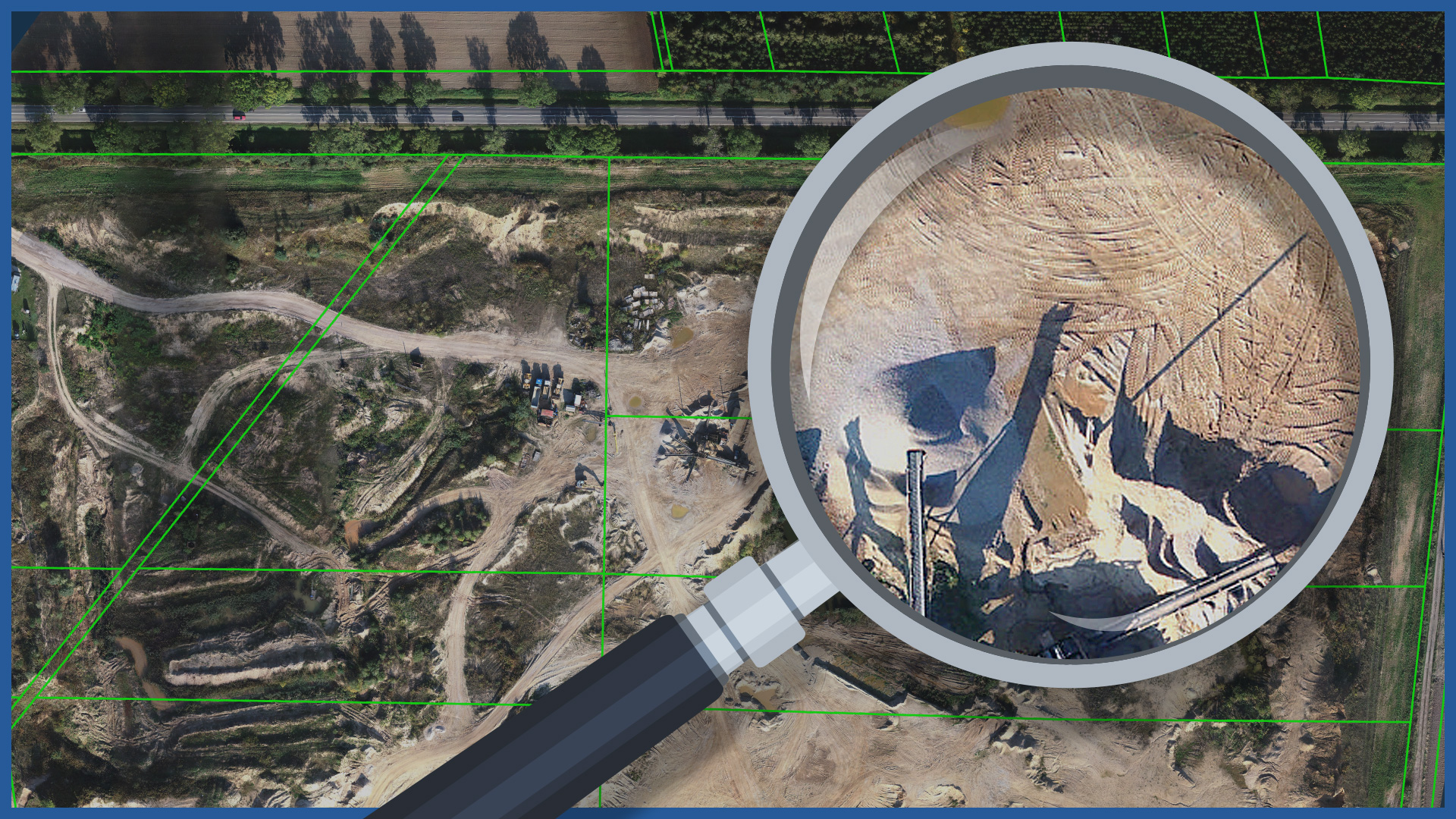
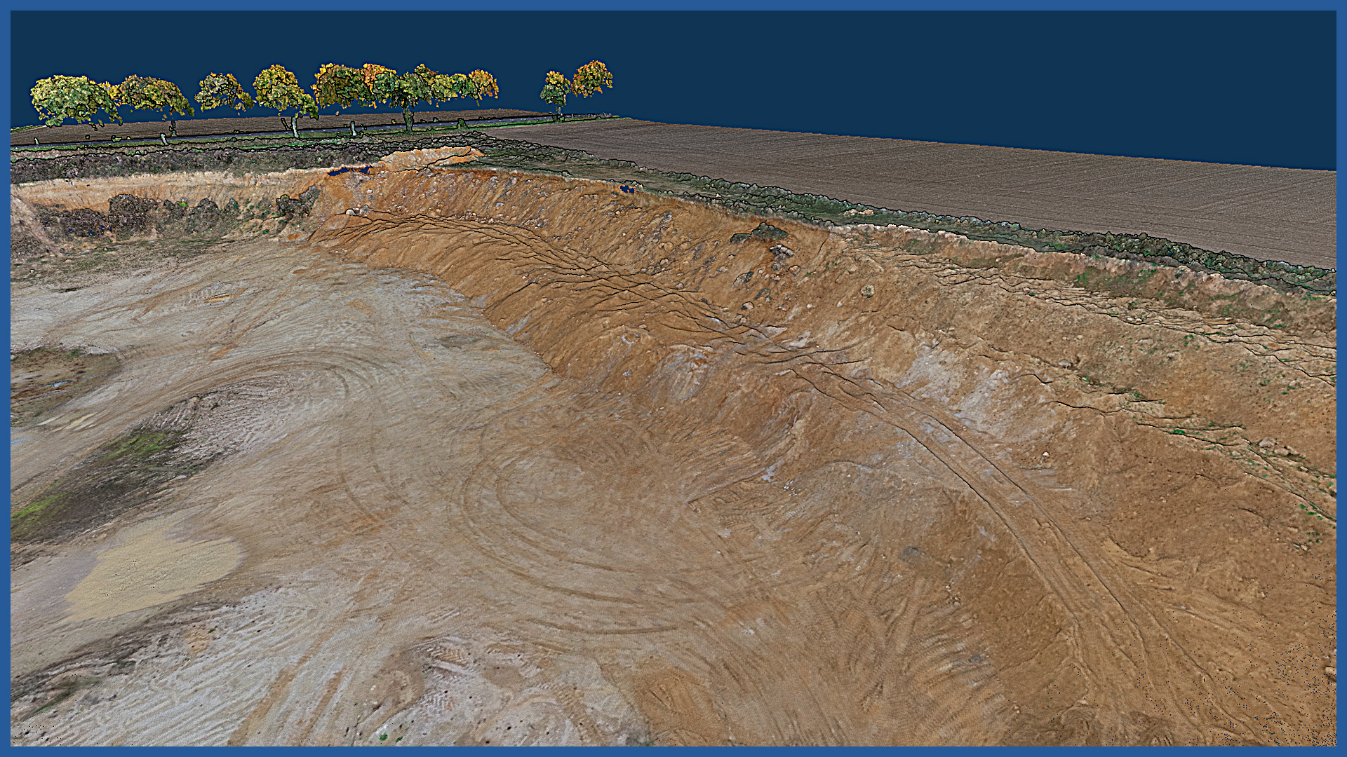
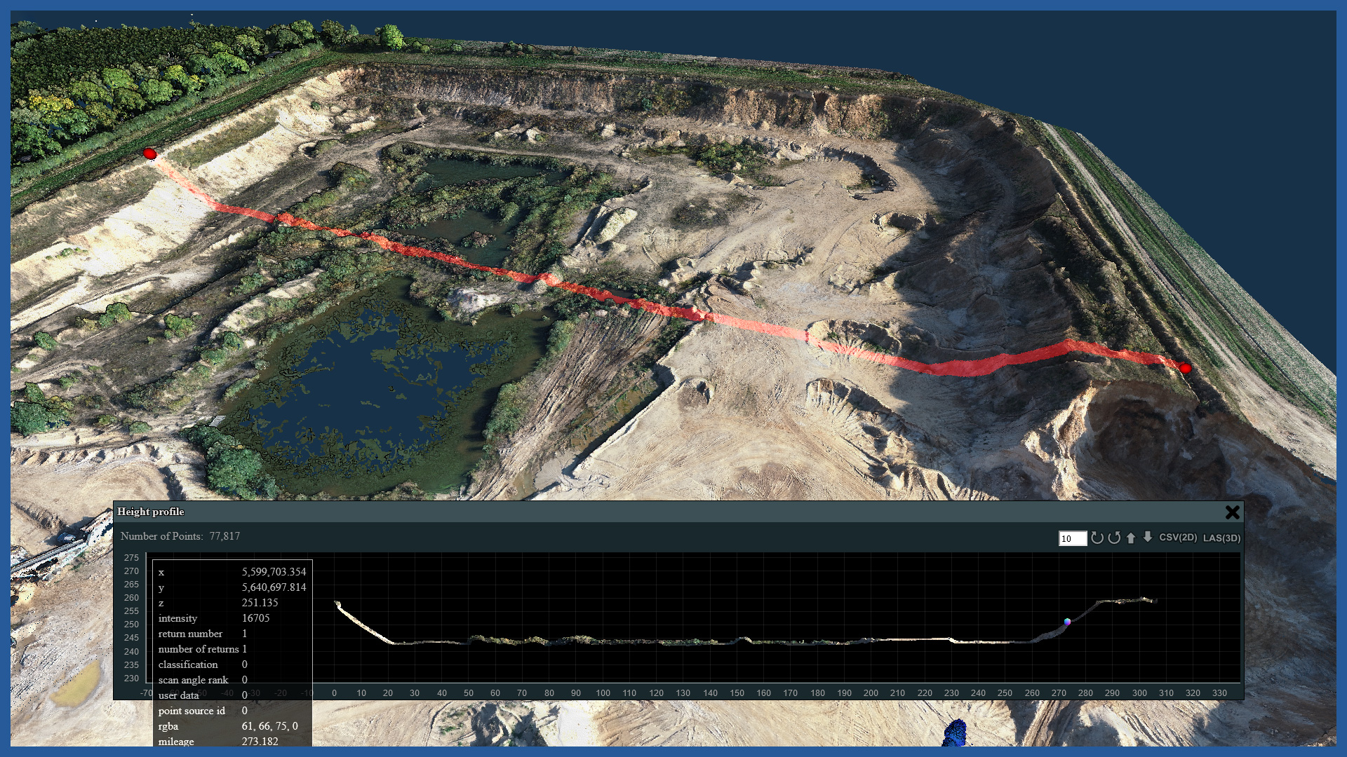
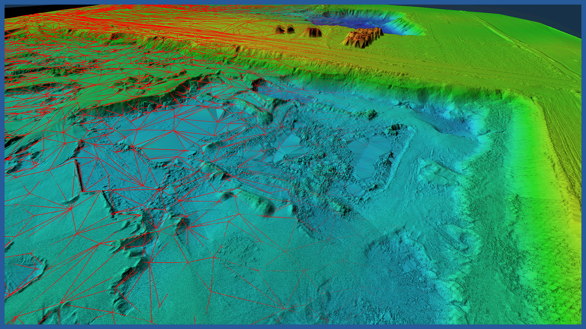
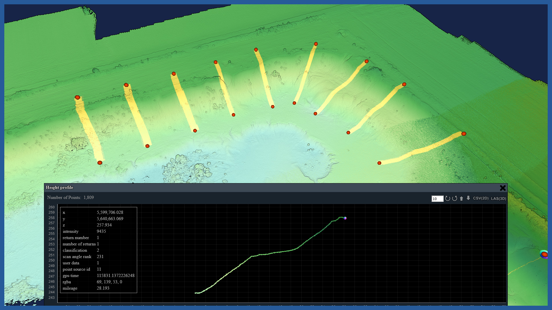
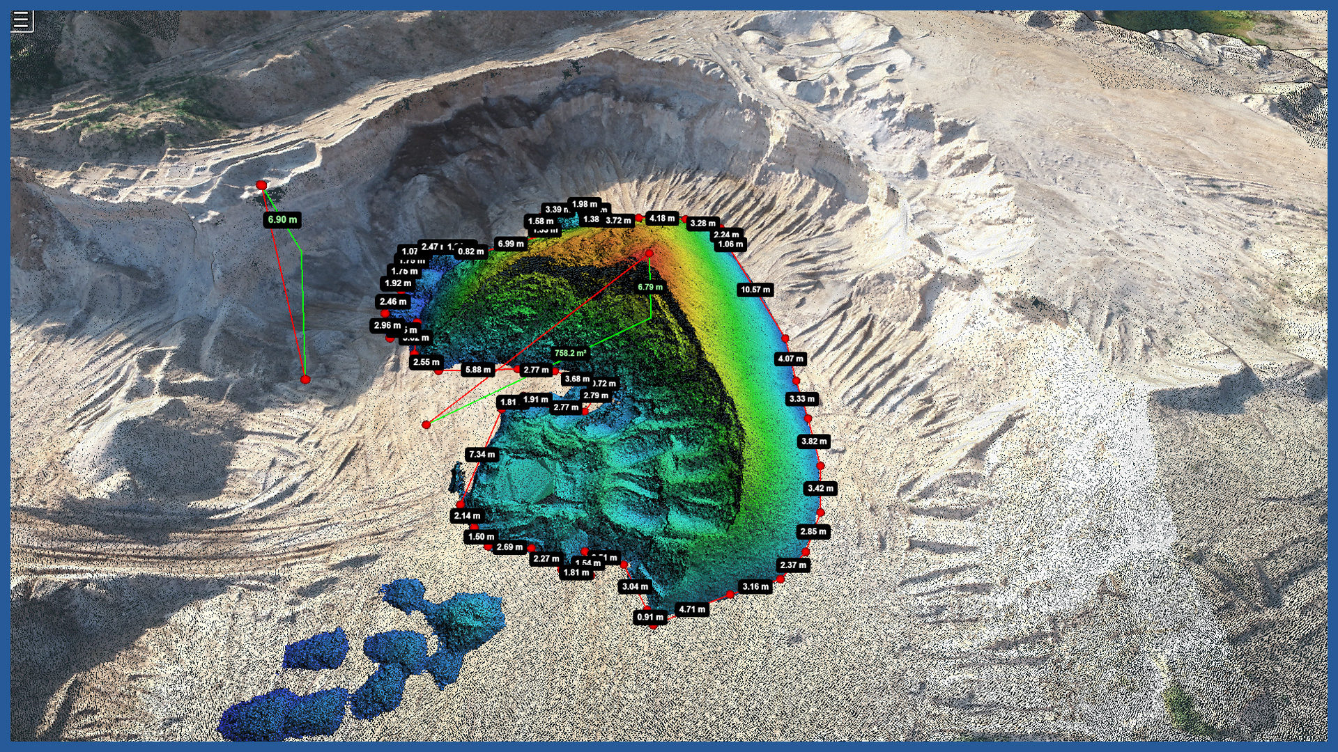
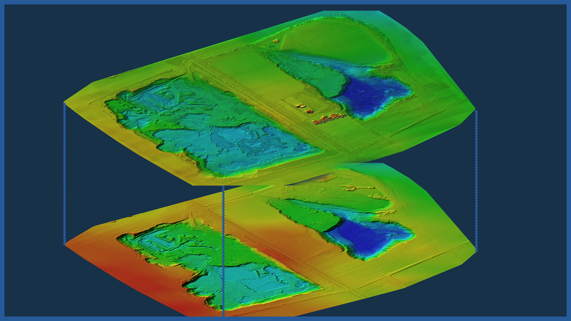
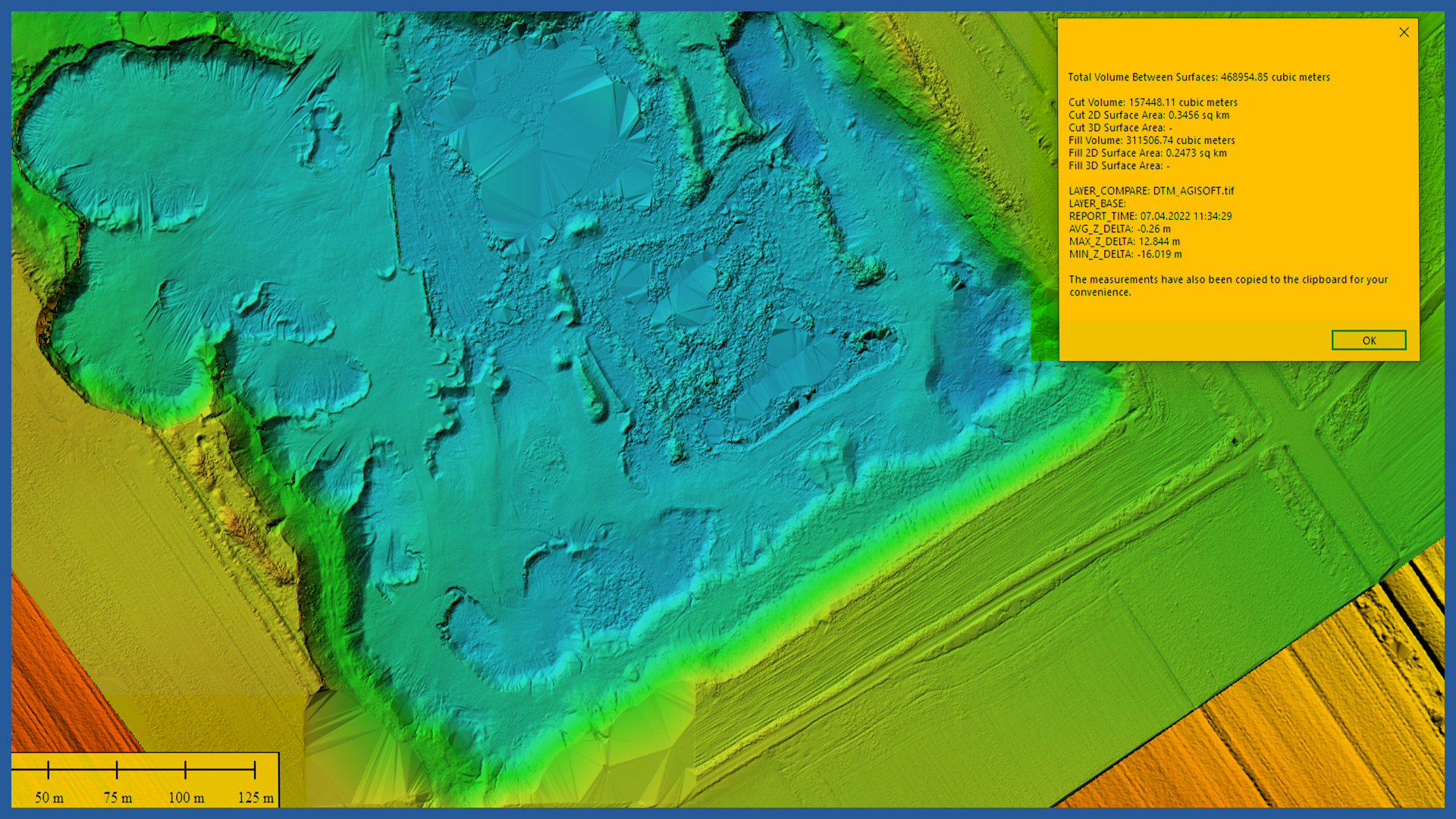
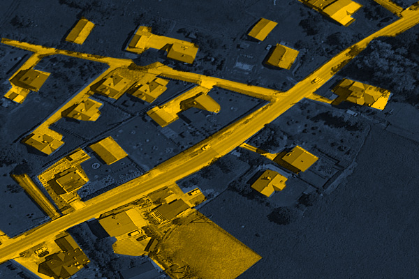
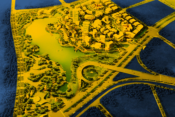
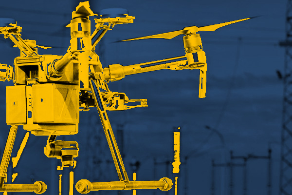
For our surveys of mines, spoil heaps, pits and quarries, we use top-of-the-line UAVs equipped with high-resolution cameras and LIDAR scanners. As a result, we accurately acquire millions of points that faithfully reflect objects with their details. We eliminate the problem of generalization occurring in measurements made by traditional methods, and minimize the possibility of measurement errors. This is particularly important in the mapping of objects with irregular shapes, where changes occur over time, and the parameters of these changes are of great importance, both financially and in terms of safety and monitoring. The mapping performed by us becomes a document of high reliability and transparency, which makes it easier for the parties working on it to communicate. Our operators are people with a lot of experience and knowledge. Equipped with modern technology, they are able to take quick measurements and develop them in a short time. We do not interfere or unnecessarily halt the processes and work carried out on the sites. Select an area of interest: – identification of hazardous locations – cross sections – watershed analysis – transport routes condition
INDUSTRIES WE WORK FOR
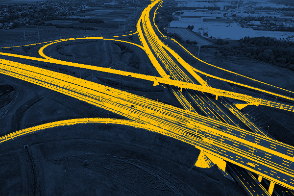
ROAD INFRASTRUCTURE
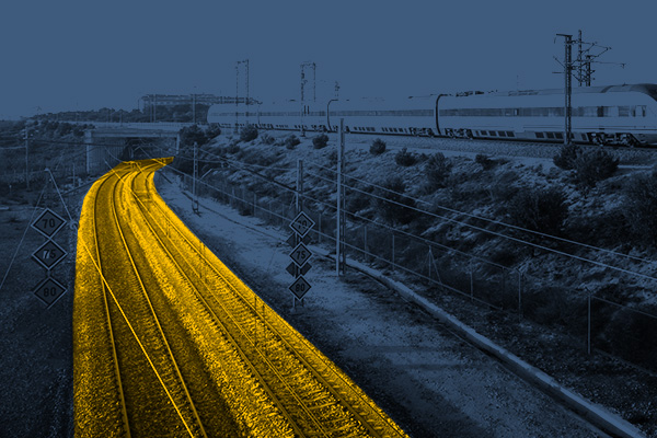
RAILWAY INFRASTRUCTURE
DESIGNING
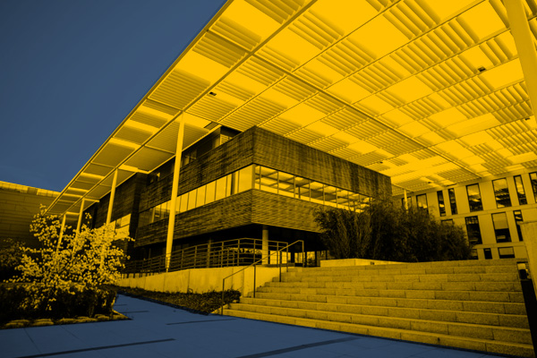
ARCHITECTURE
BUILDINGS
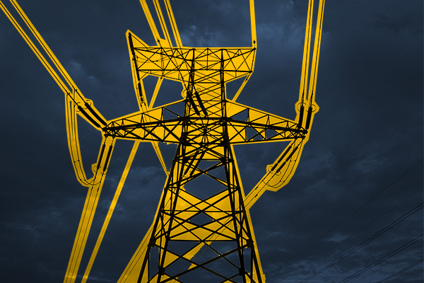
ENERGETICS
TELECOMMUNICATIONS – MASTS, TOWERS
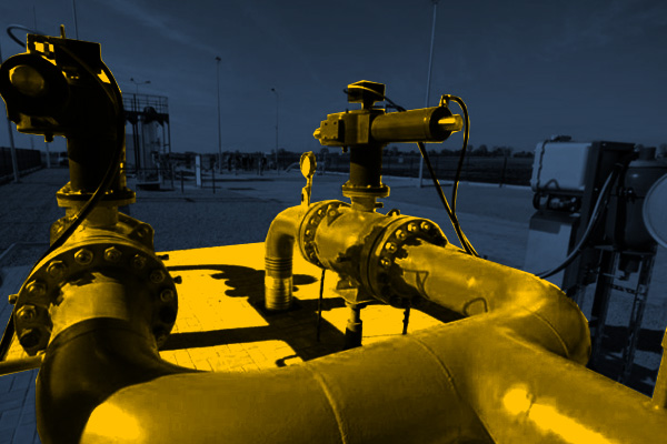
GAS NETWORKS
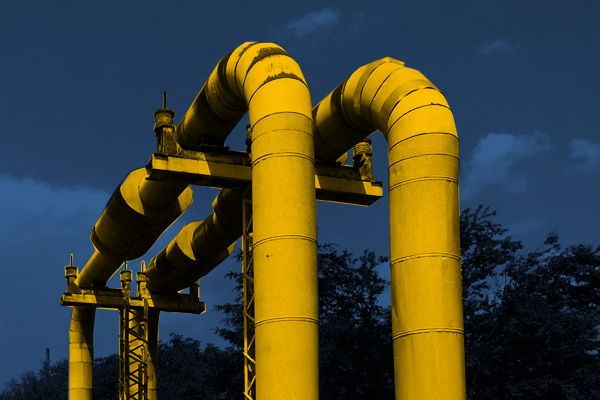
HEAT NETWORKS
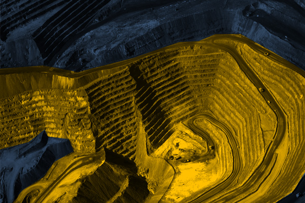
MINES, STOCKPILES, QUARRIES
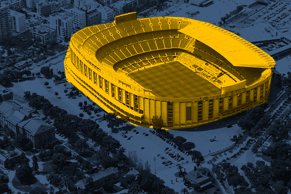
SPORTS AND RECREATION FACILITIES
REAL ESTATE: INVESTMENT, MANAGEMENT, SUPERVISION
MUNICIPALITIES, TERRITORIAL UNITS
ENVIRONMENT
SPECIALIZED MEASUREMENTS

