INDUSTRIES
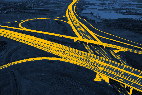
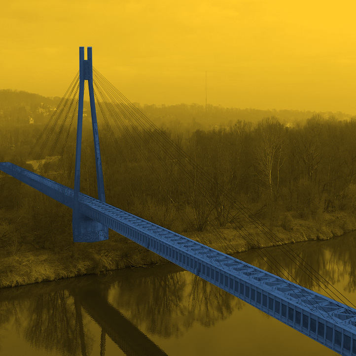
ROAD INFRASTRUCTURE
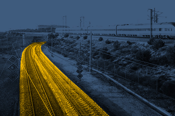
RAILWAY INFRASTRUCTURE
DESIGNING
ARCHITECTURE
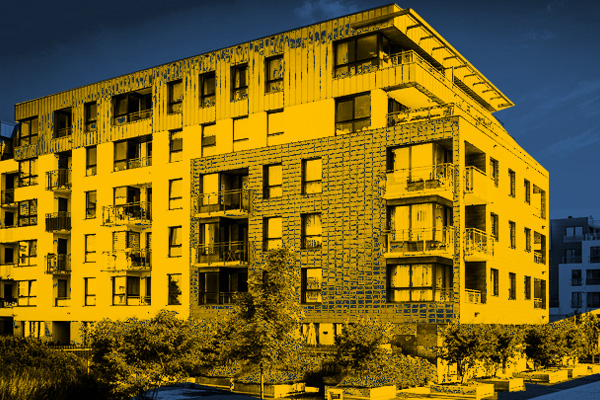
BUILDINGS
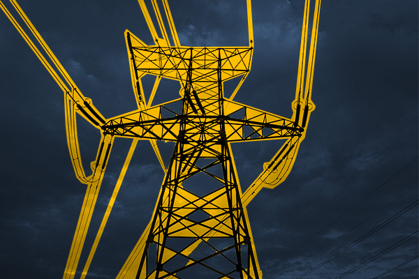
ENERGETICS
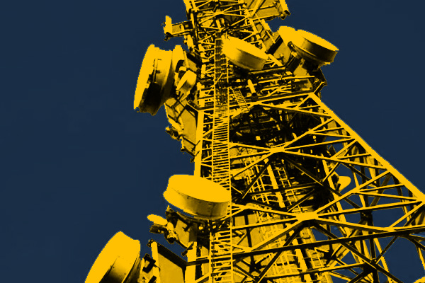
TELECOMMUNICATIONS – MASTS, TOWERS
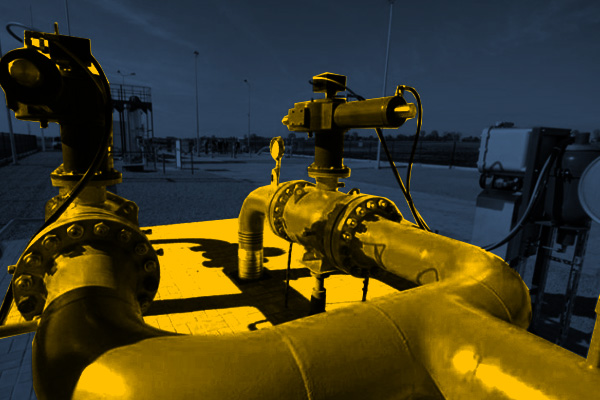
GAS NETWORKS
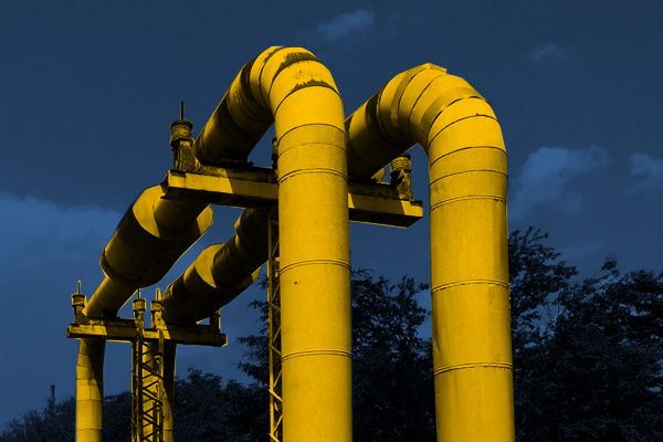
HEAT NETWORKS
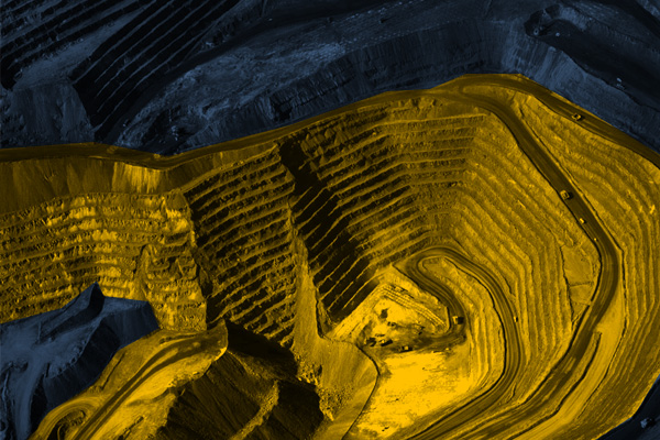
MINES, STOCKPILES, QUARRIES
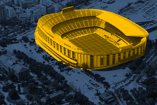
SPORTS AND RECREATION FACILITIES
REAL ESTATE: INVESTMENT, MANAGEMENT, SUPERVISION
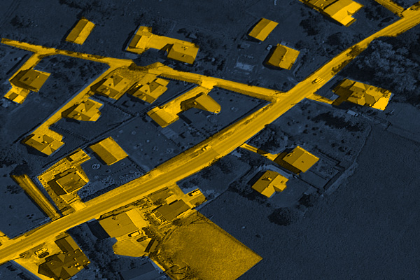
MUNICIPALITIES, TERRITORIAL UNITS
ENVIRONMENT
SPECIALIZED MEASUREMENTS

NEW FACE OF MEASUREMENT
AIRBORNE LASER SCANNING
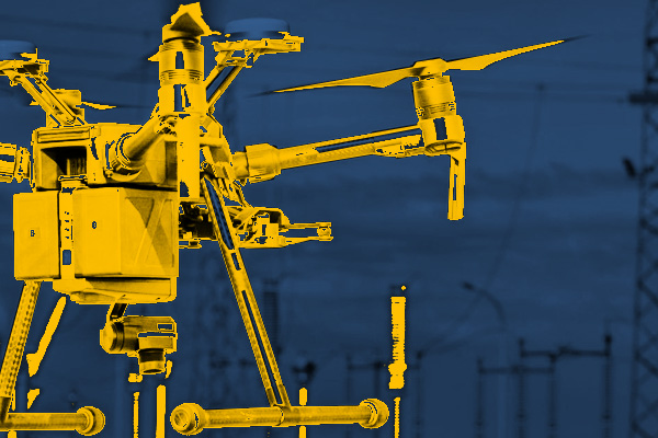
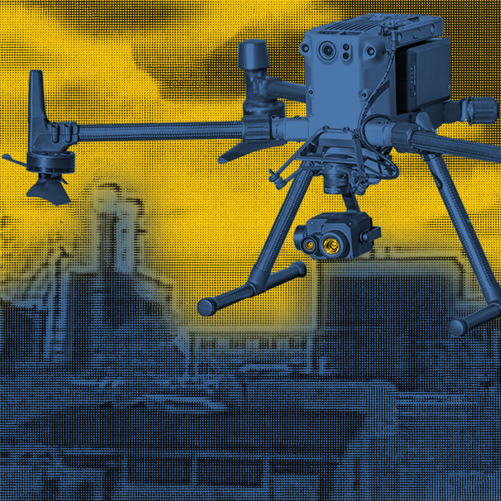
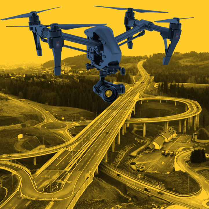
UAV (unmanned aerial vehicle) scanning refers to scanning from aboard an unmanned aircraft.
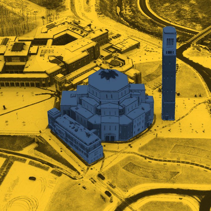
Controlled low-altitude flight allows us to map the landforms including development and objects without generalization. The LIDAR system we use is equipped with a highly efficient laser scanner, allowing us to acquire data in a short time, with high accuracy and detail.
We create dense point clouds with a scanning speed of 240,000 points per second. We achieve 2 cm precision and 3 cm accuracy.
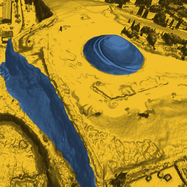
We set new standards for acquiring terrain data. We take measurements regardless of lighting conditions, sunlit areas and shaded areas are mapped with the same accuracy, the laser beam penetrates through the vegetation layer measuring the ground level, the high density of points allows accurate mapping of the shape and position of objects.
Acquired dense point clouds are processed in specialized software. They are aligned, filtered and classified into points lying on the ground and others.
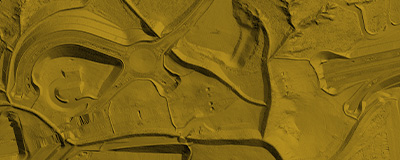
Among a range of applications, we offer the following: digital terrain models, digital surface models, terrain profiles, cross sections, volumes calculation, contour maps, terrain slope maps, 3D and 2D visualizations.
SEE MOREPHOTOGRAMMETRY
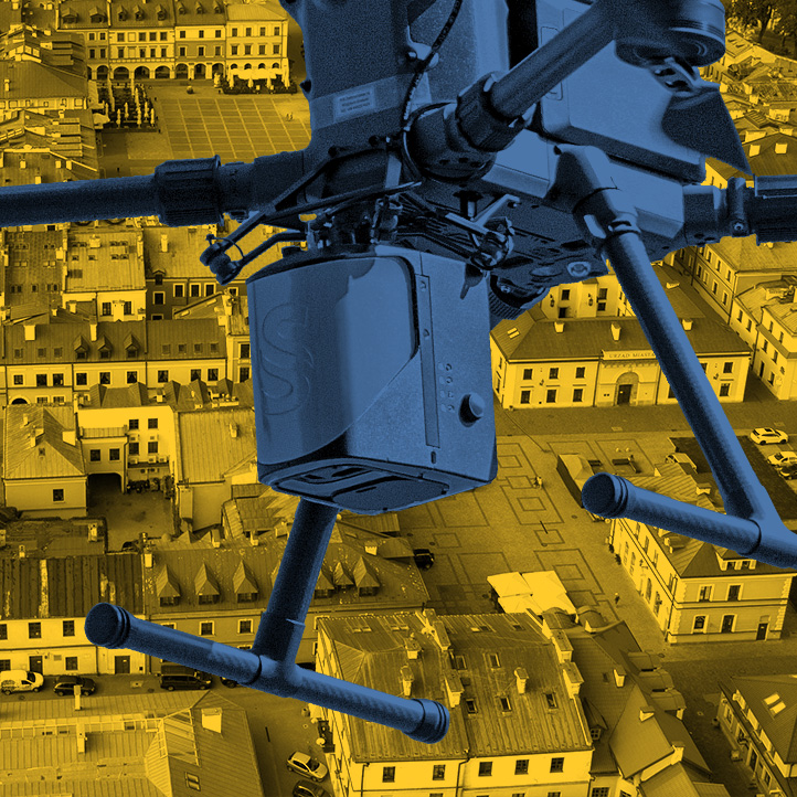
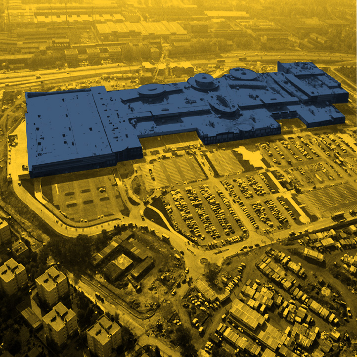
Low-altitude photogrammetry is a technology developed and used by us to capture terrain from a relatively low altitude. Carefully planned aerial mission, suitable parameters (speed, coverage, flight height) makes it possible to obtain images with a resolution of less than 1 cm. The high-resolution cameras capture the smallest details.
Our aerial vehicles are equipped with precise RTK positioning system. We improve accuracy using ground check points and control points, so that we achieve an average position error of less than 3 GSD (Ground Sampling Distance).
Our experience and organization of work allows us to measure large areas in a short time, including places with difficult access. The specialized software and high-end workstations we use shortens the calculation process and allows us to quickly transfer the data to the ordering party.
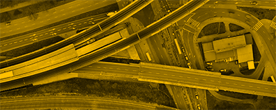
The most important applications of low-altitude photogrammetry include: high-resolution orthophotos, photorealistic models of terrain and objects, documentation of existing state.
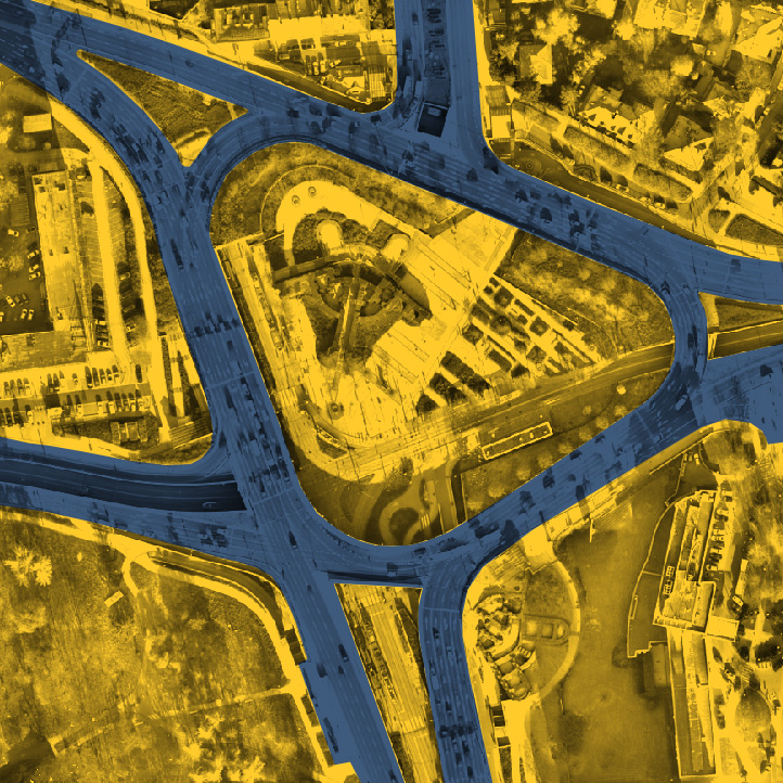
We make “true” orthophotos, which differ from standard ones in that they are devoid of radial displacement of objects rising above the terrain. Our products lack skewed objects and “blind spots”.
SEE MORETwenty years of OPTIMA Group’s activity and nearly 3,000 completed jobs confirm our very extensive experience in performing measurements.
We use high-end aerial vehicles equipped with precise recording devices. We use advanced software to process the acquired data.
Elaborted over the years logistics and our potential allow us to perform jobs in a timely manner. In addition, thanks to the technology we use, even large projects are completed in a short time.
Our staff consists of qualified engineers with high skills and knowledge and all the required licenses. They have been associated with the company for many years.
ABOUT US
We specialize in acquiring data on technical infrastructure, transmission networks, ground utilities. We perform aerial thermal imaging surveys and specialized inspections.
We use low-altitude aerial techniques: photogrammetry and airborne laser scanning.
For twenty years we have been operating in the market of land surveying throughout Poland.
We use high-end equipment to make the highest quality products.
Experienced engineers using the latest technology.
Three thousand projects completed over the years is the scale of our experience.
CONTACT
30-147 Kraków,
Na Błonie 32
+48 667 098 000
+48 667 098 001
+48 667 098 002
