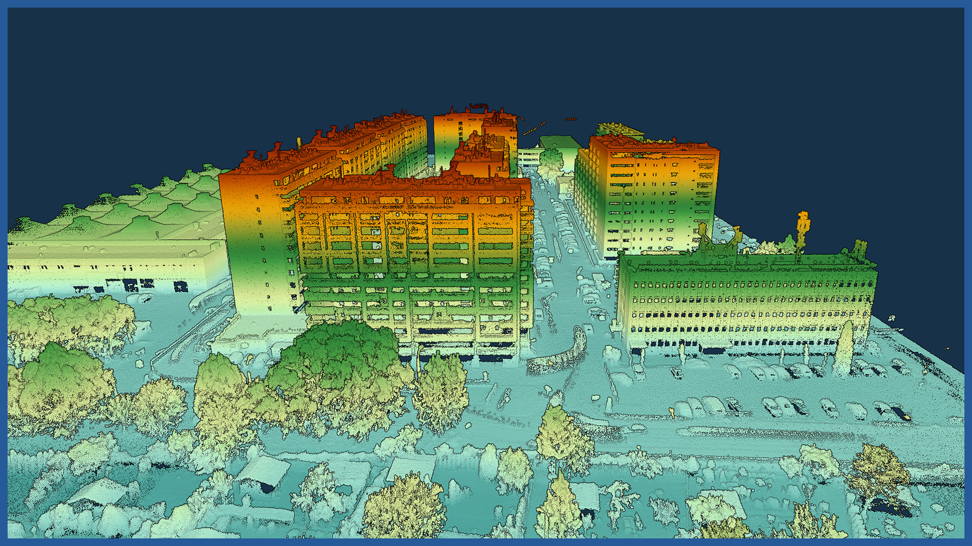
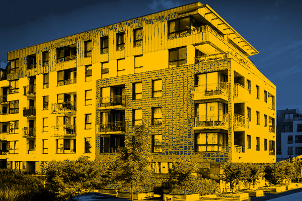
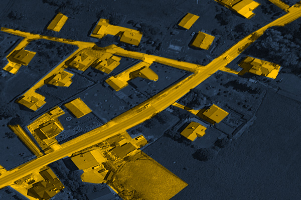
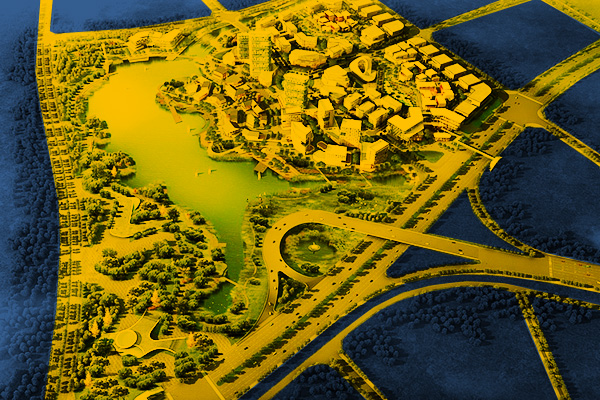
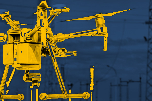
The modern aerial techniques we use allow us to provide precise materials for architects. Using aerial photogrammetry and aerial laser scanning, we depict the project site and its surroundings with great detail and accuracy. We avoid problems arising from generalization of measurement and difficult accessibility to sites. We provide 3D models of terrain, objects, greenery allowing to develop architectural concepts, designs, visualizations. The studies are implemented by the most important programs supporting design.INDUSTRIES WE WORK FOR
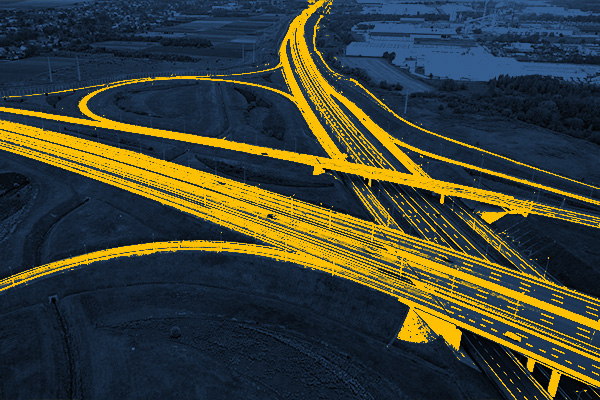
ROAD INFRASTRUCTURE
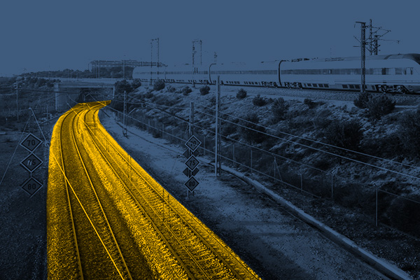
RAILWAY INFRASTRUCTURE
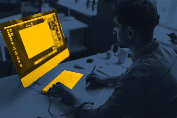
DESIGNING
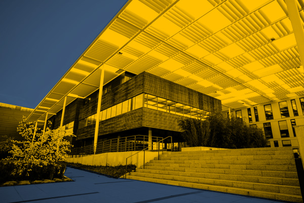
ARCHITECTURE
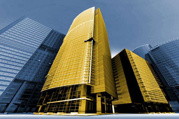
BUILDINGS
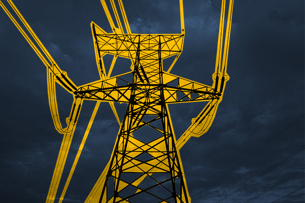
ENERGETICS
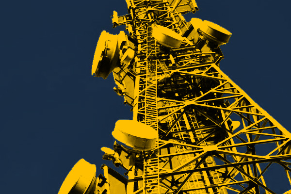
TELECOMMUNICATIONS – MASTS, TOWERS
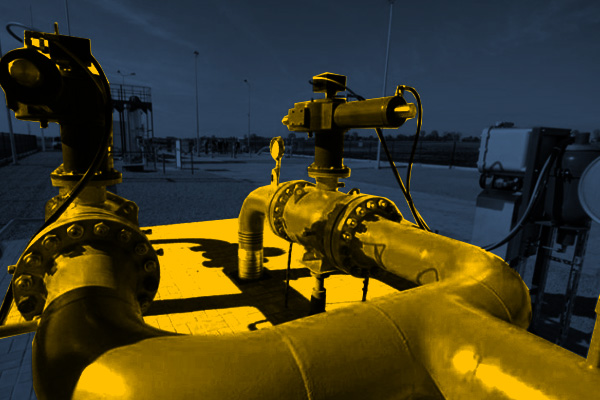
GAS NETWORKS
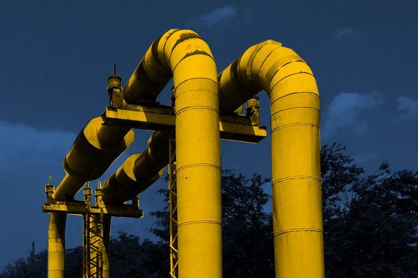
HEAT NETWORKS
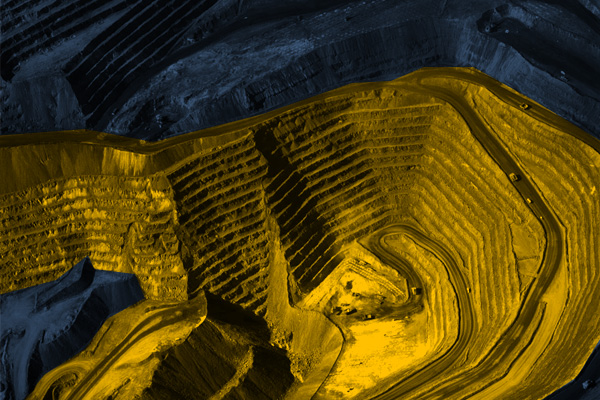
MINES, STOCKPILES, QUARRIES
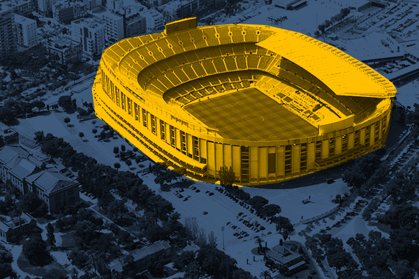
SPORTS AND RECREATION FACILITIES
REAL ESTATE: INVESTMENT, MANAGEMENT, SUPERVISION
MUNICIPALITIES, TERRITORIAL UNITS
ENVIRONMENT
SPECIALIZED MEASUREMENTS


