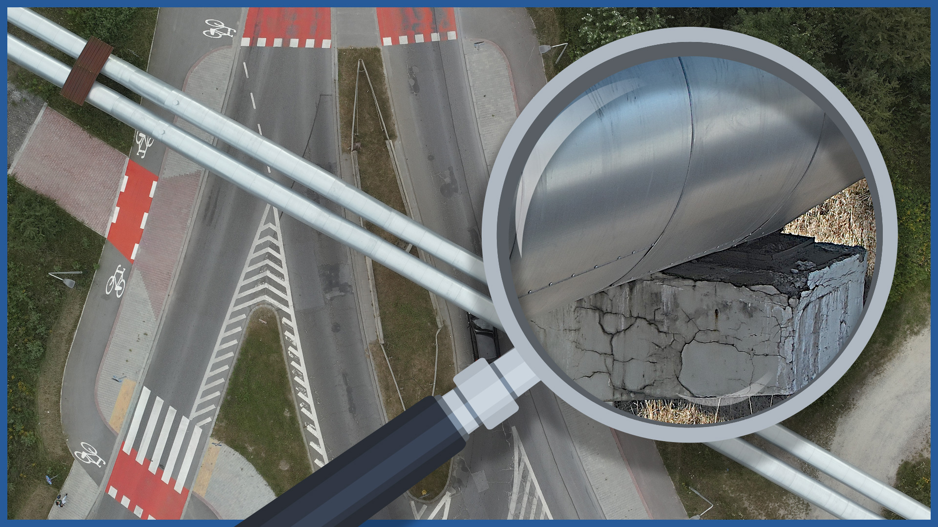
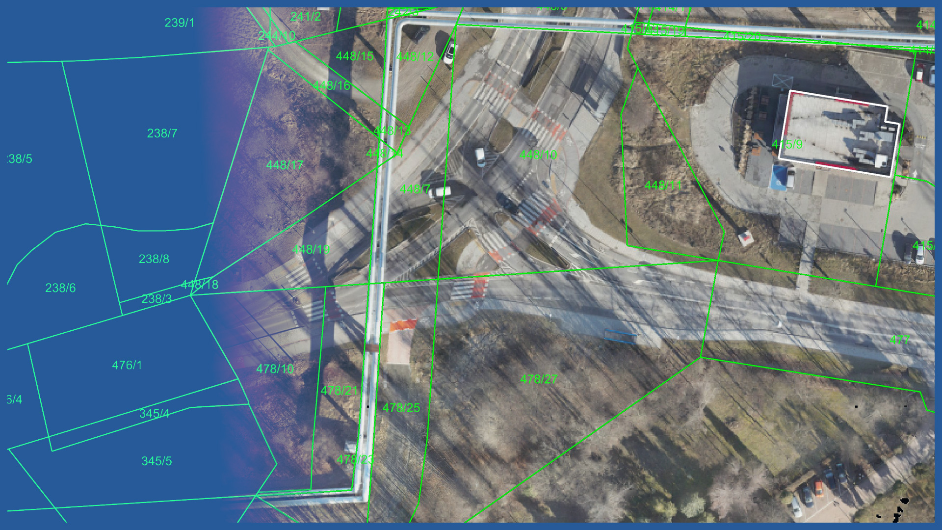
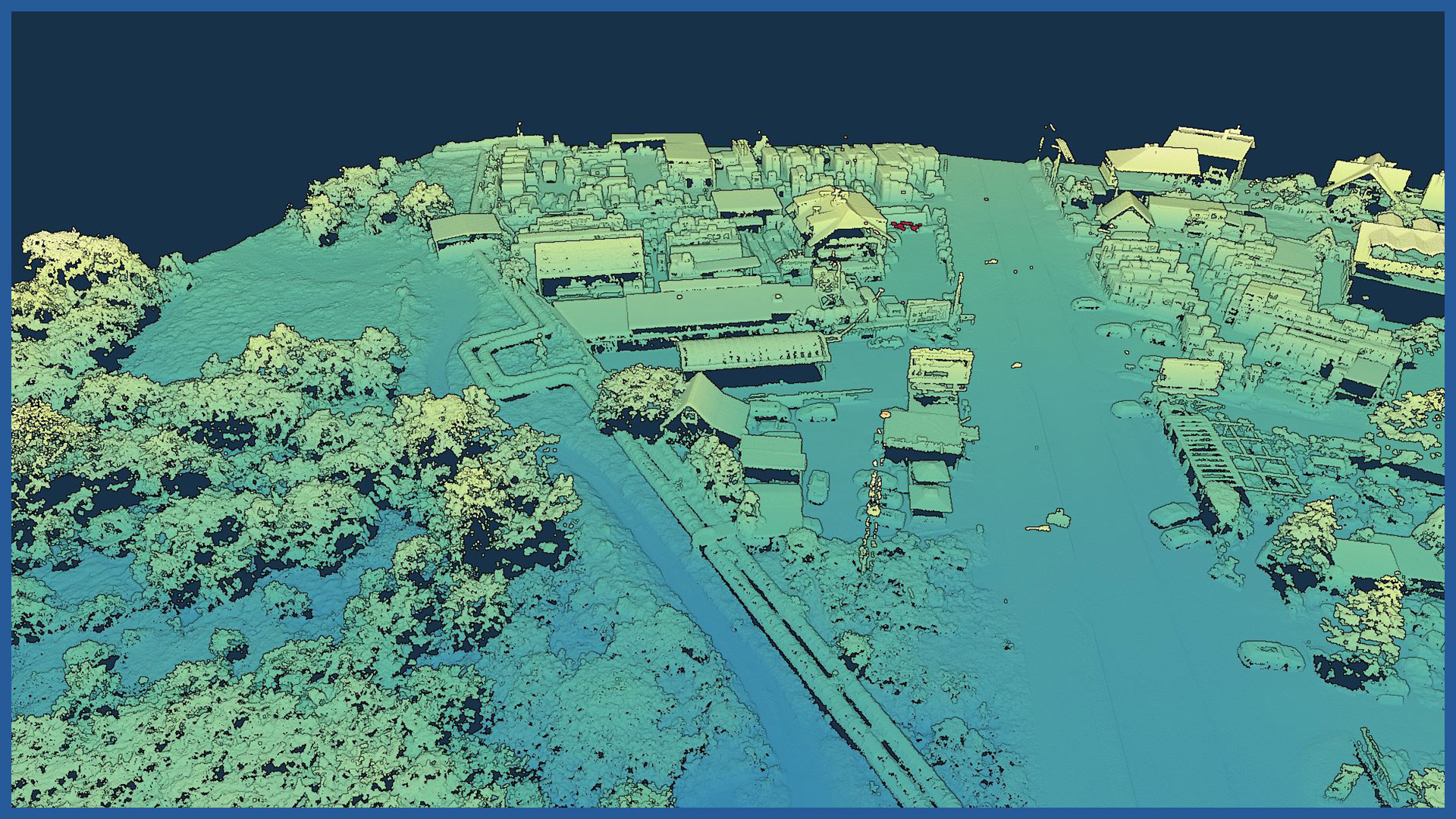
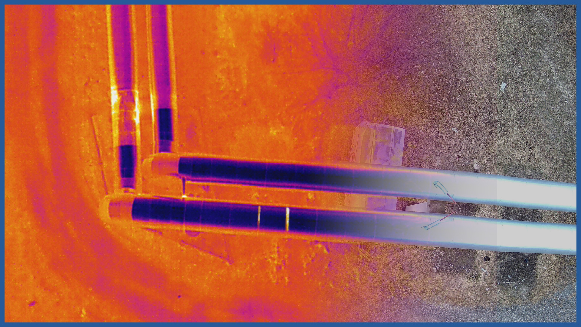
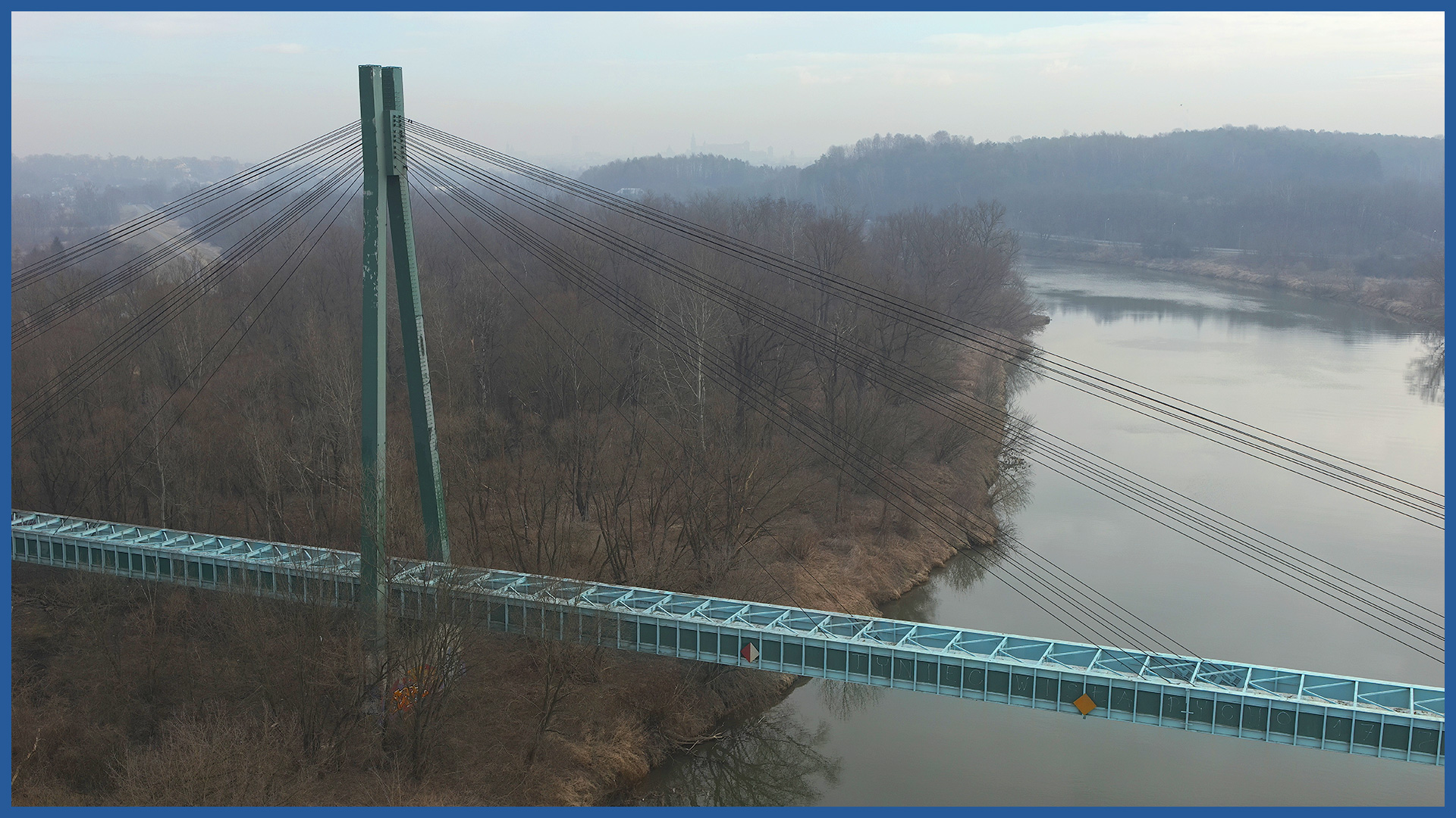
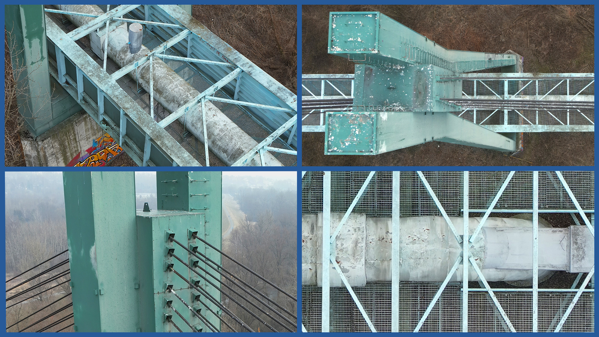
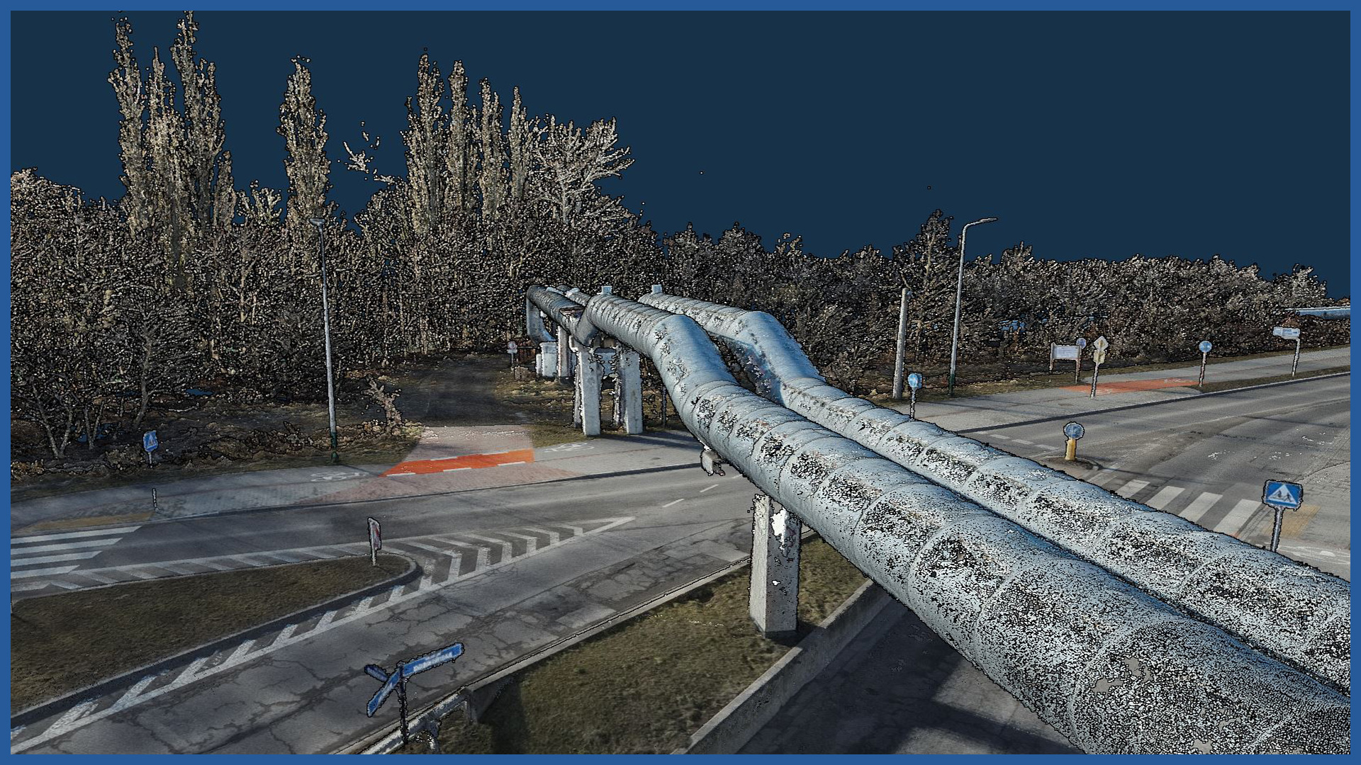
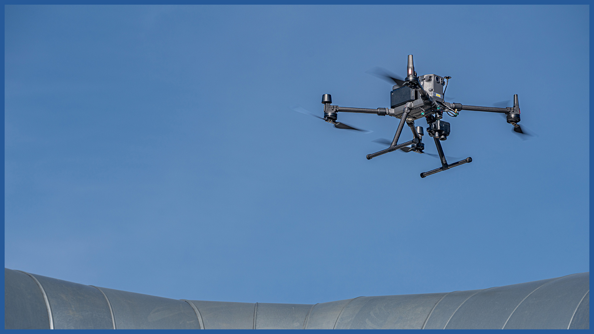
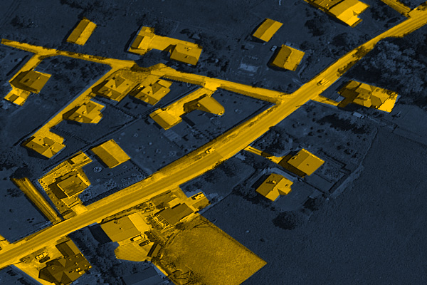
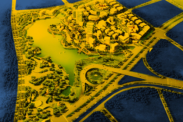
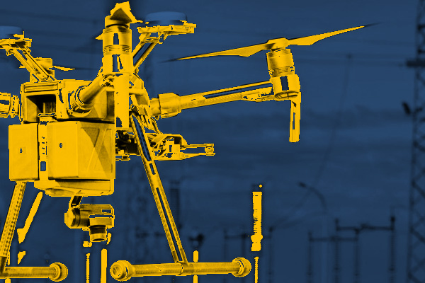
We have the best-class unmanned aerial vehicles, which we equip with: – thermal imaging cameras – high-resolution cameras in the RGB range – LIDAR scanners. We perform precise, detailed and accurate aerial surveys of installations, equipment, facilities and terrain within the range of the transmission belt. Our technology allows us to quickly acquire data from the field, while maintaining detail and accuracy, even in areas with difficult access. We make studies in specialized programs, data can be used for: – registration of the current state of heating installations – detection of damage, defects having an impact on the efficiency of the network – visualization in 3D space – planning and design of new installations or modernization and repairs. Our studies are supported by all major design software. We can make the data available to authorized users on dedicated servers, as well as provide them in raster or vector form. Airborne thermal imaging: Support services for network design/ supervision/ maintenance:
INDSUTRIES WE WORK FOR
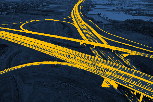
ROAD INFRASTRUCTURE
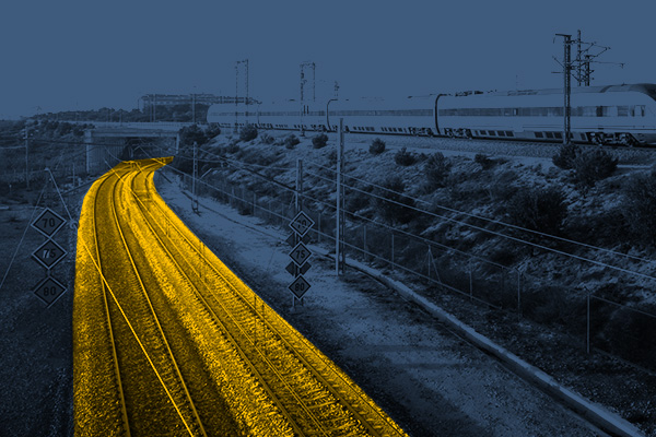
RAILWAY INFRASTRUCTURE
DESIGNING
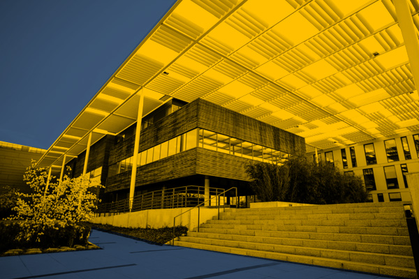
ARCHITECTURE
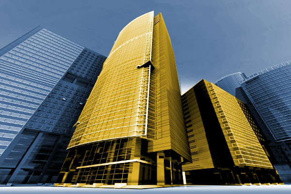
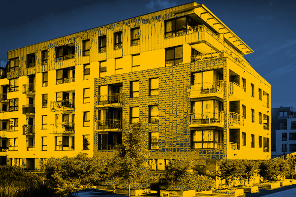
BUILDINGS
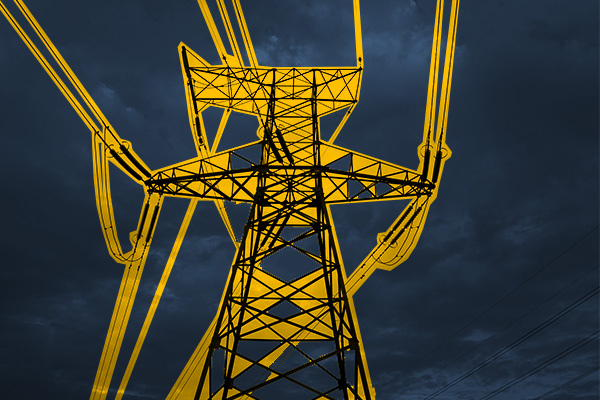
ENERGETICS
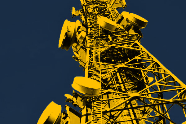
TELECOMMUNICATIONS – MASTS, TOWERS
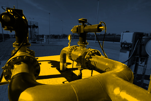
GAS NETWORKS
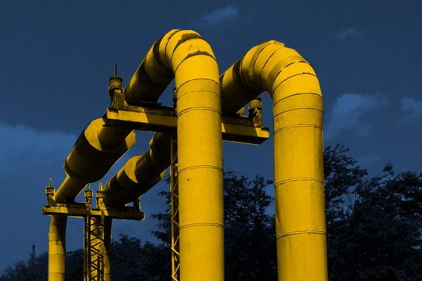
HEAT NETWORKS
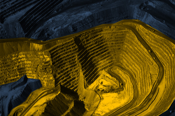
MINES, STOCKPILES, QUARRIES
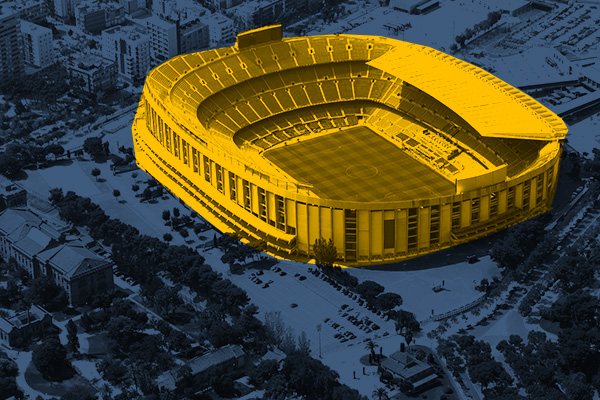
SPORTS AND RECREATION FACILITIES
REAL ESTATE: INVESTMENT, MANAGEMENT, SUPERVISION
MUNICIPALITIES, TERRITORIAL UNITS
ENVIRONMENT
SPECIALIZED MEASUREMENTS

