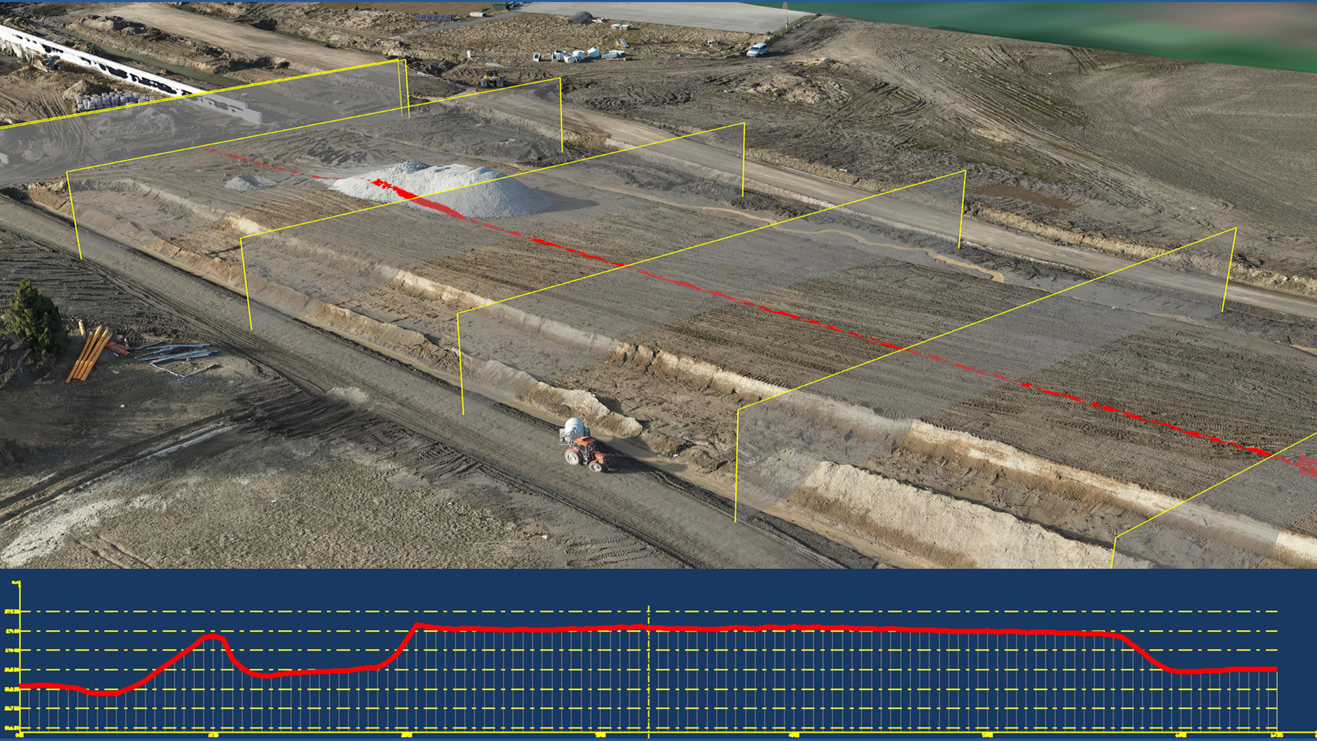
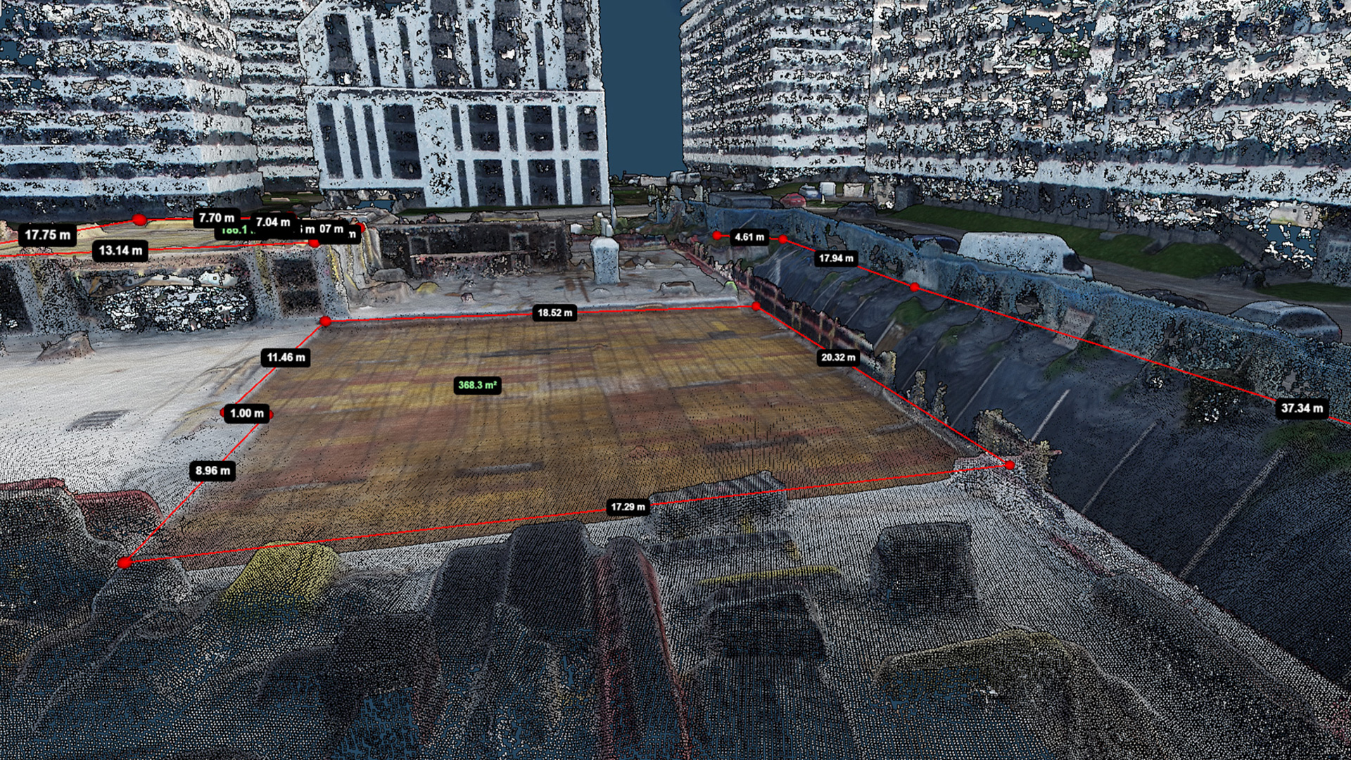
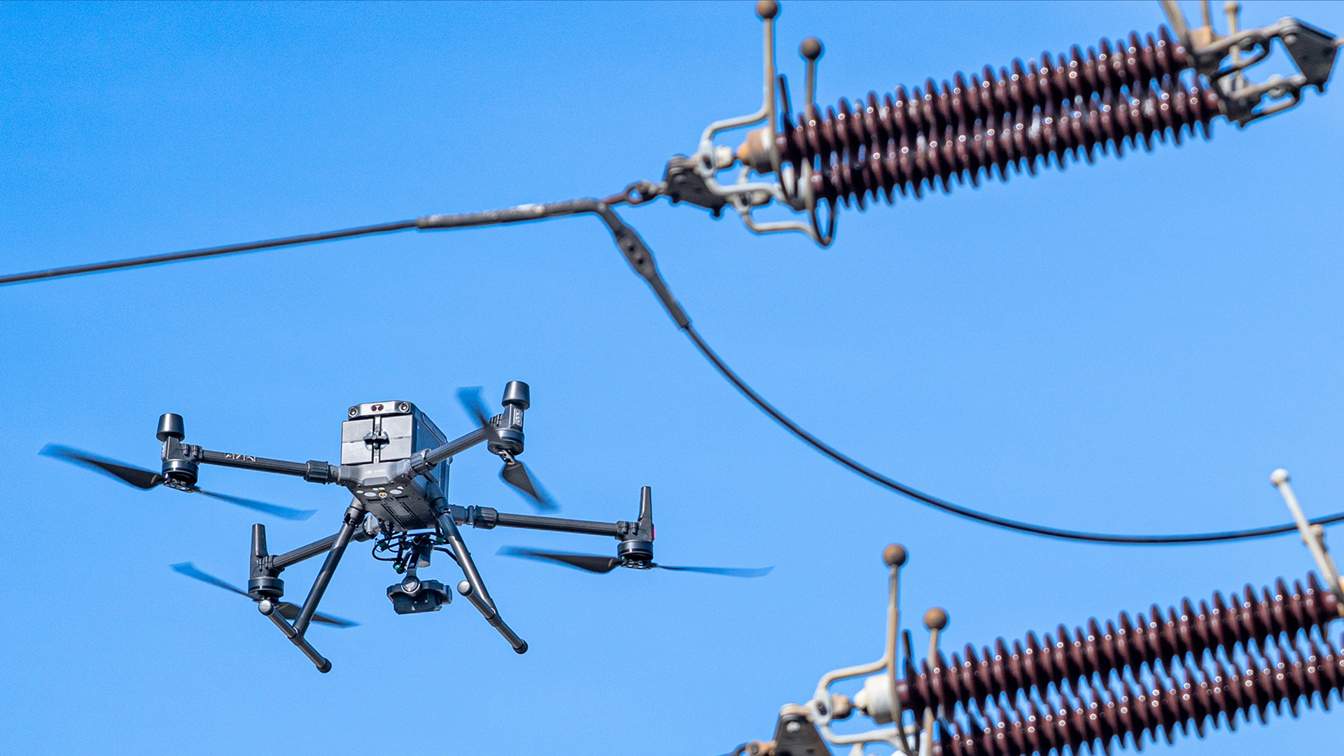
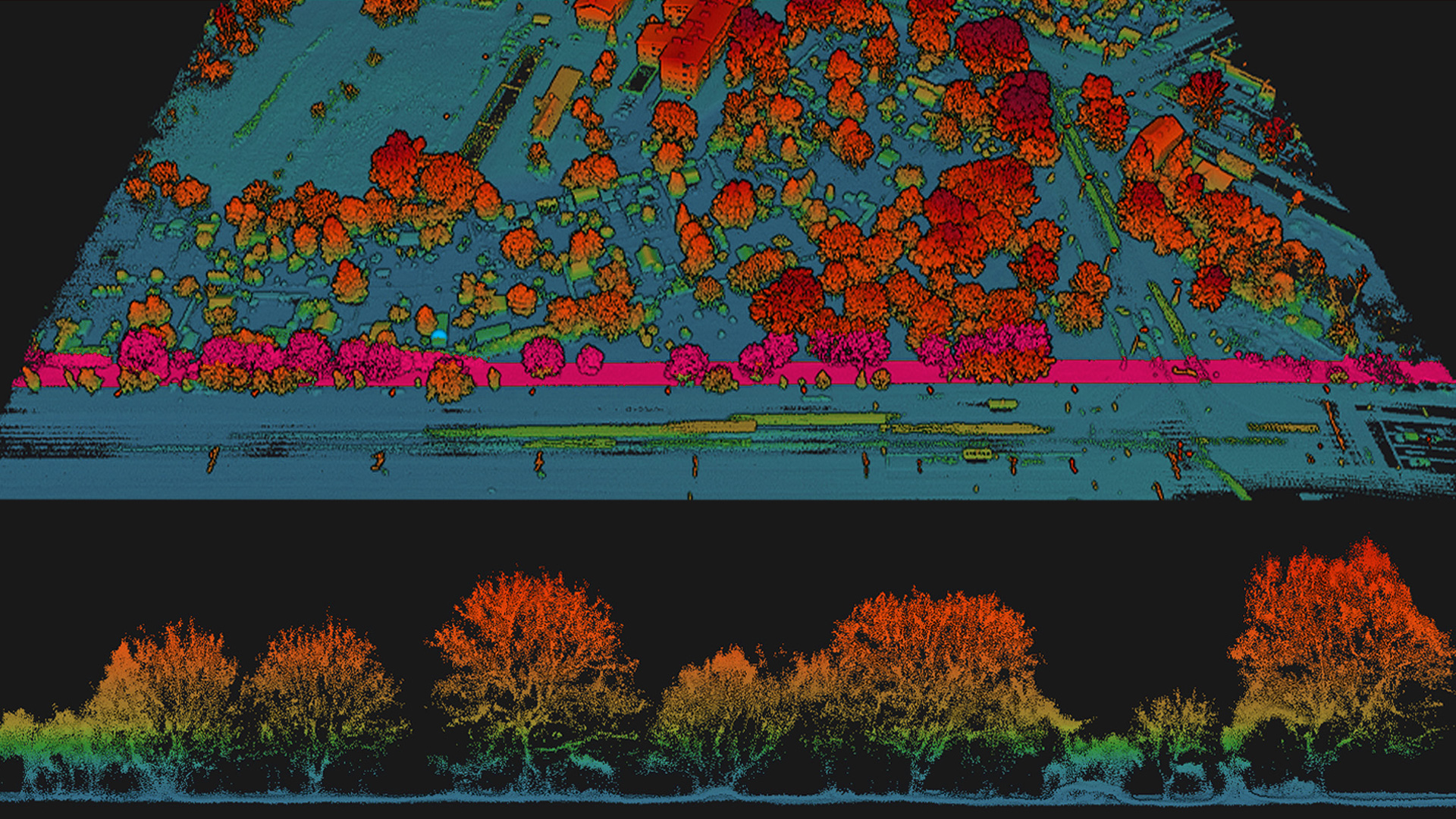
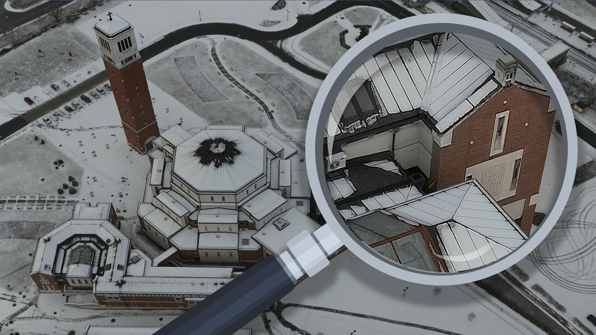
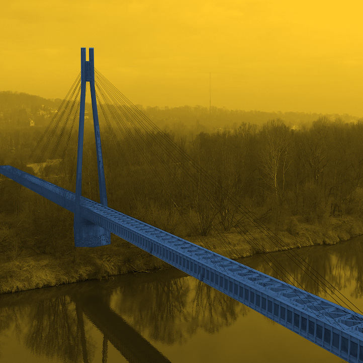
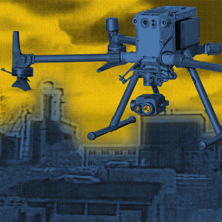
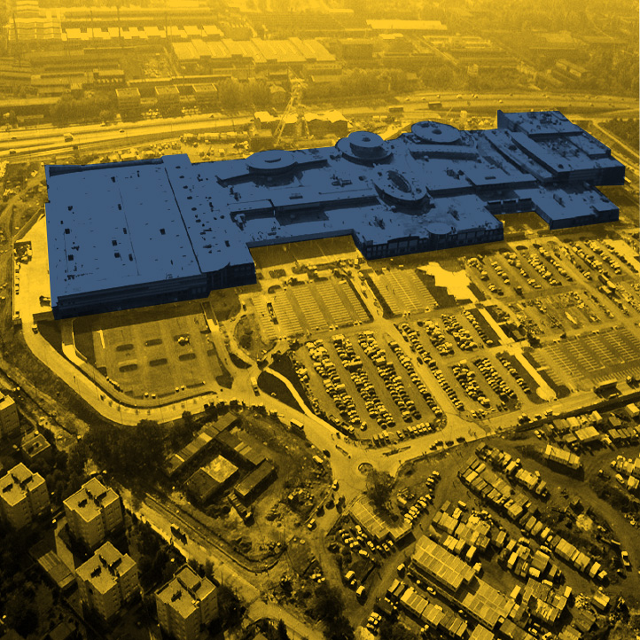
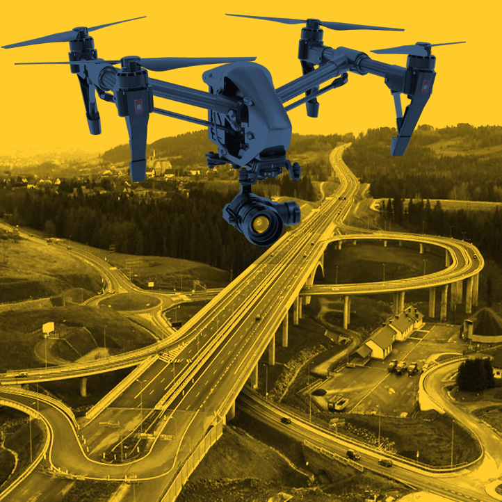
Documentation of the existing condition of land, facilities, investments and the construction process is a document we make that records the current condition on a given day. We use low-altitude photogrammetry, aerial laser scanning and professional photography/video. As a result, our studies contain a great deal of information about the appearance, condition and shape of objects. Aerial surveying allows a large area to be accurately inventoried in a short period of time with the detail of individual details, and the specialized software we use allows the data to be quickly compiled and transferred to the client. For this reason, the survey can be performed on a specific day. Documentation of the existing state is not just a picture. It consists of photographic documentation, measurement reports, lists of coordinates, and is prepared and compiled by people with authority to confirm documents. It can be used to secure the interests of parties and settle disputes. Documentation may include the following: The start of any investment process should be preceded by an inventory of the zero state, detailed documentation of the surroundings (the condition of access roads, the appearance of buildings, greenery) in order to protect against possible claims by parties. The documentation we prepare in the middle of construction work makes it possible to record the progress of the work and constitutes a certificate of its advancement. The study can serve both the investor or supervisory services, as well as the general contractor or subcontractors. Measurements commissioned to us periodically (e.g., monthly) allow presentation of changes at the construction site, and after the completion of the investment become an element of the collation report. Managers and administrators of estates, buildings obtaining a study from us receive information on the condition of the property (facades, roofs), sidewalks, greenery, development. Archiving the data, they receive a complete database of information on the objects under their care. Thanks to the technology we use, we are able to record the current status of large areas in a short period of time. Local governments can take advantage of this and use our studies for a number of their activities, including: Site condition documentation as of a specific date
Applications
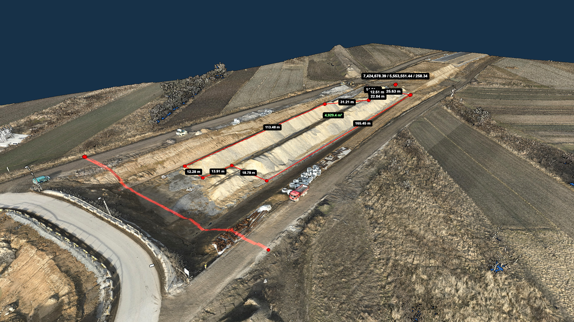
INTERACTIVE VIZUALIZATION
EXAMPLES OF APPLICATIONS
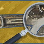
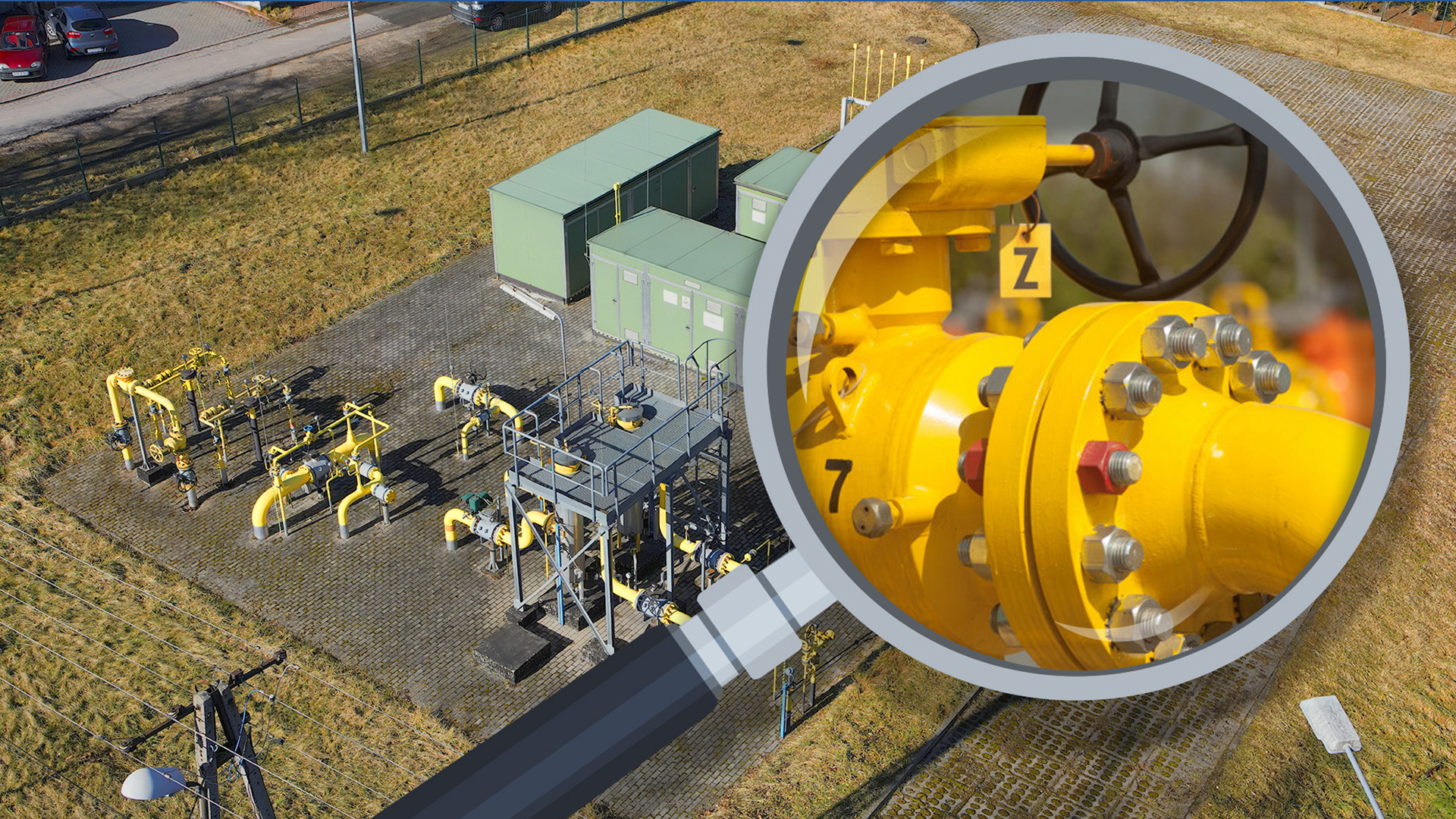
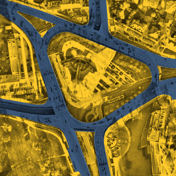
Roadway crossings identification.

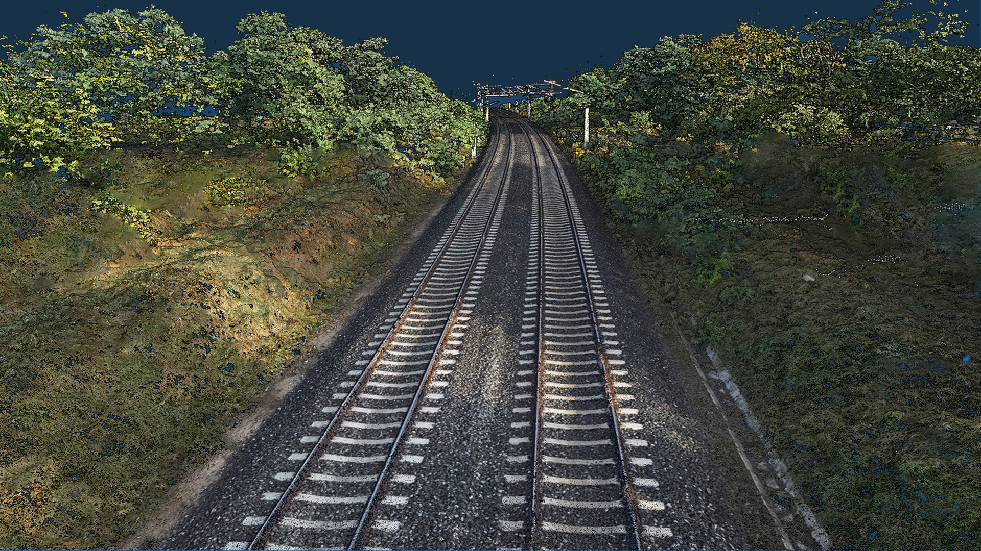
Railroads hihg-resolution orthophotomaps.
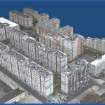
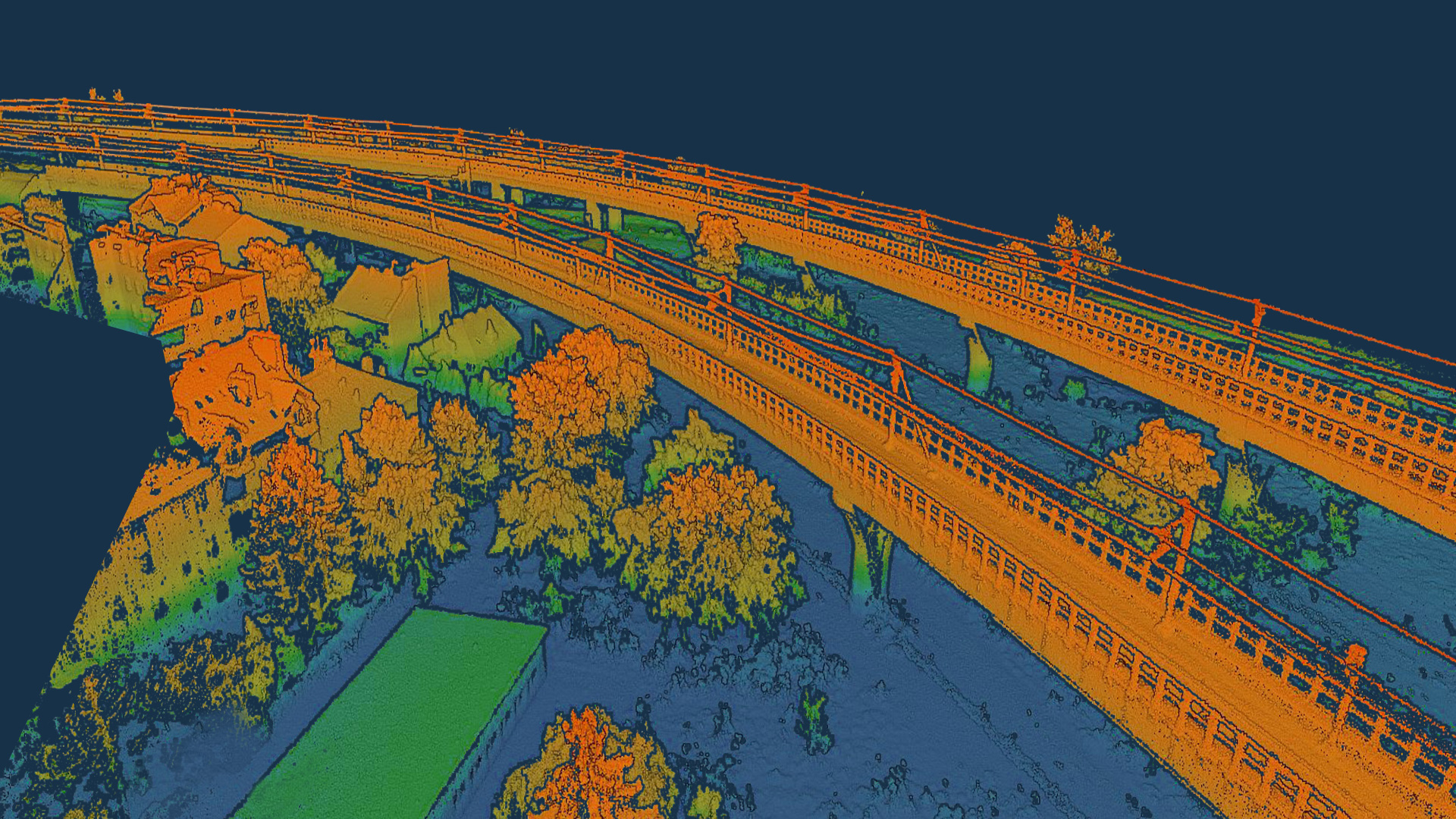
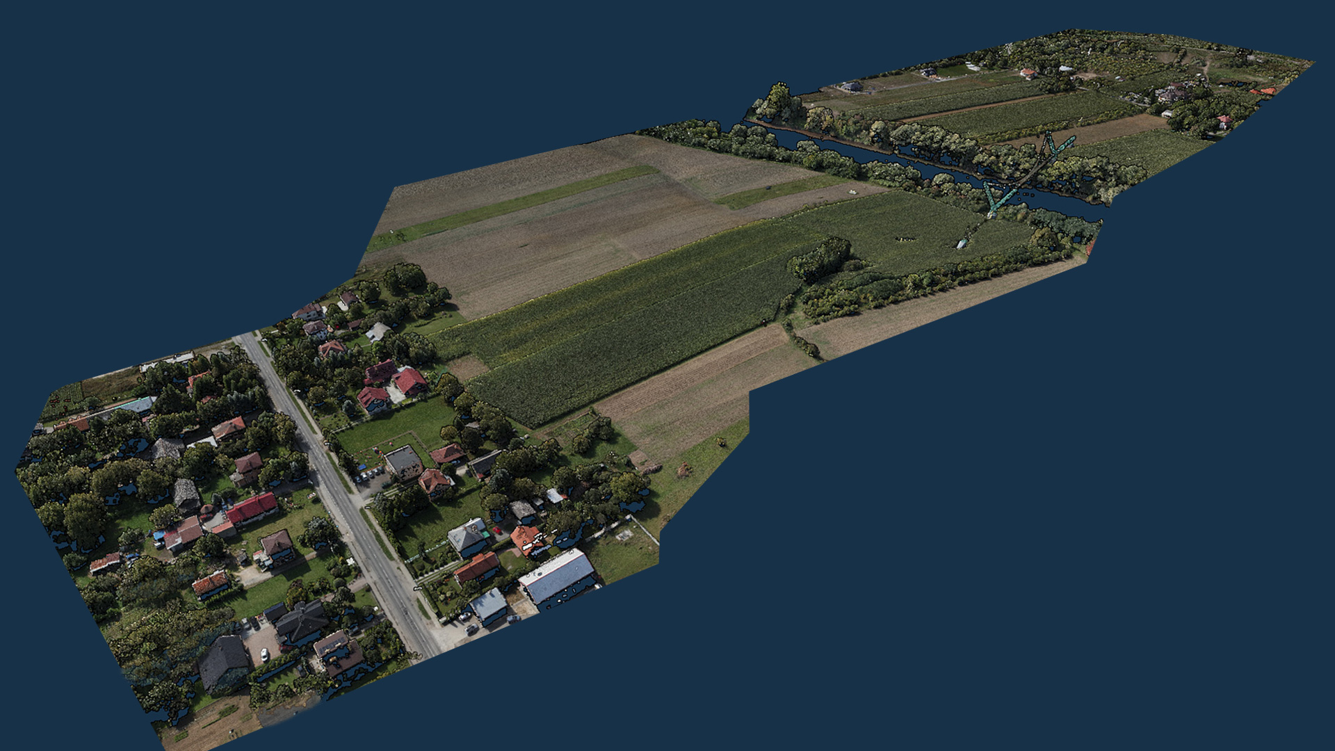
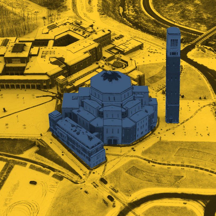
3D visualization of the investment and its surroundings.
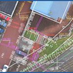
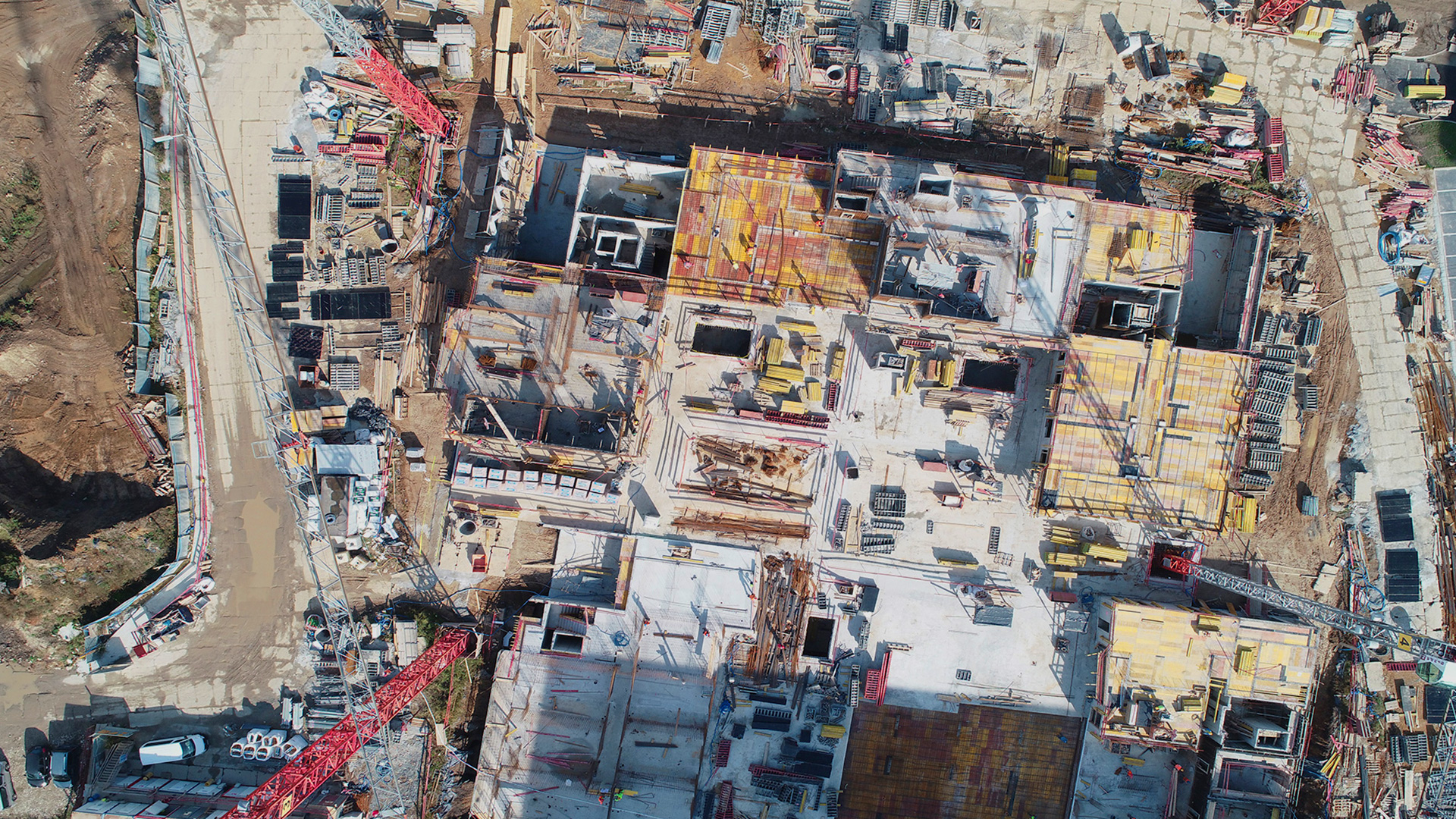
High-resolution orthophotomap of the building project site with its surroundings, before the start of construction work.
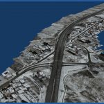
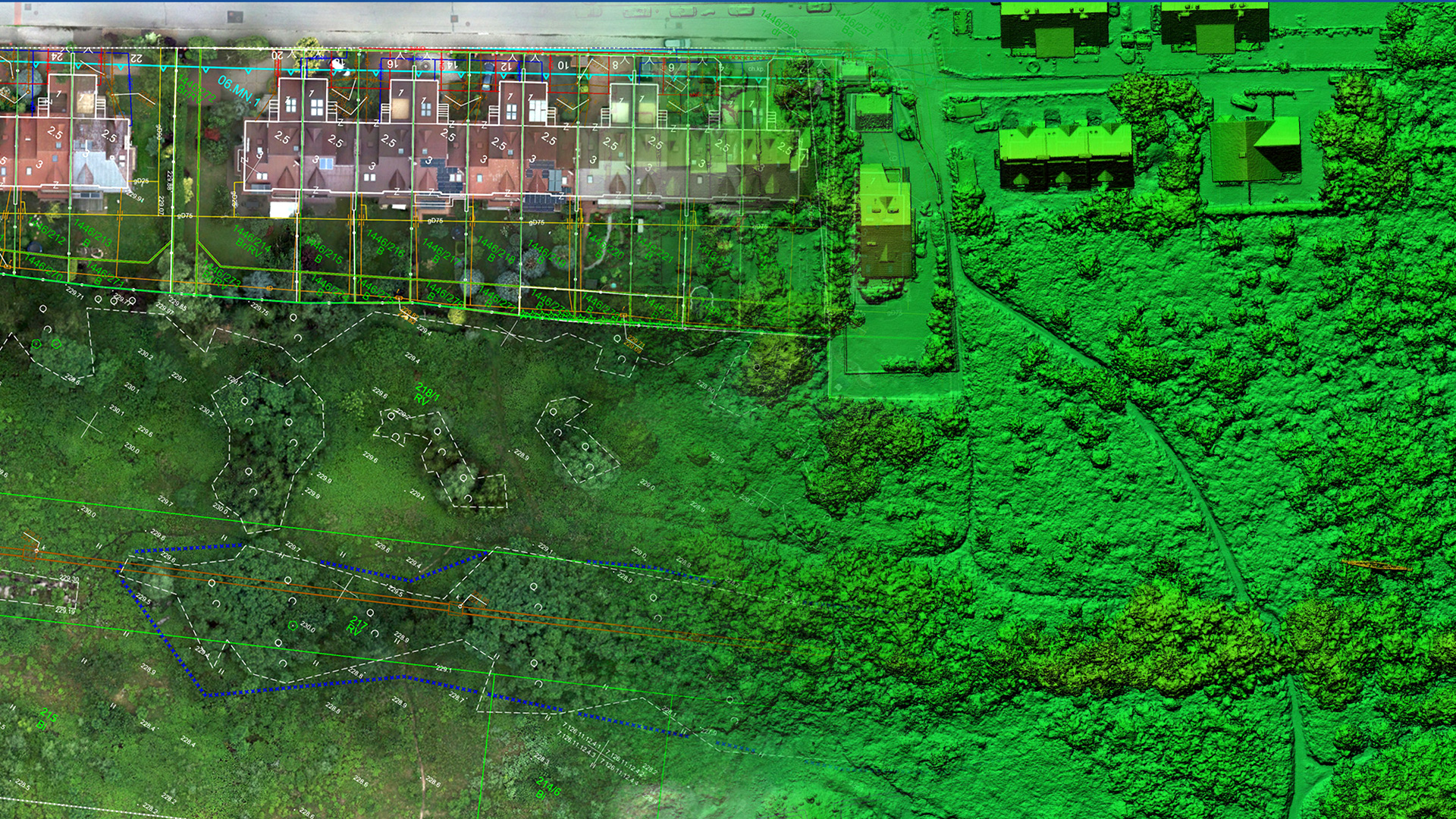
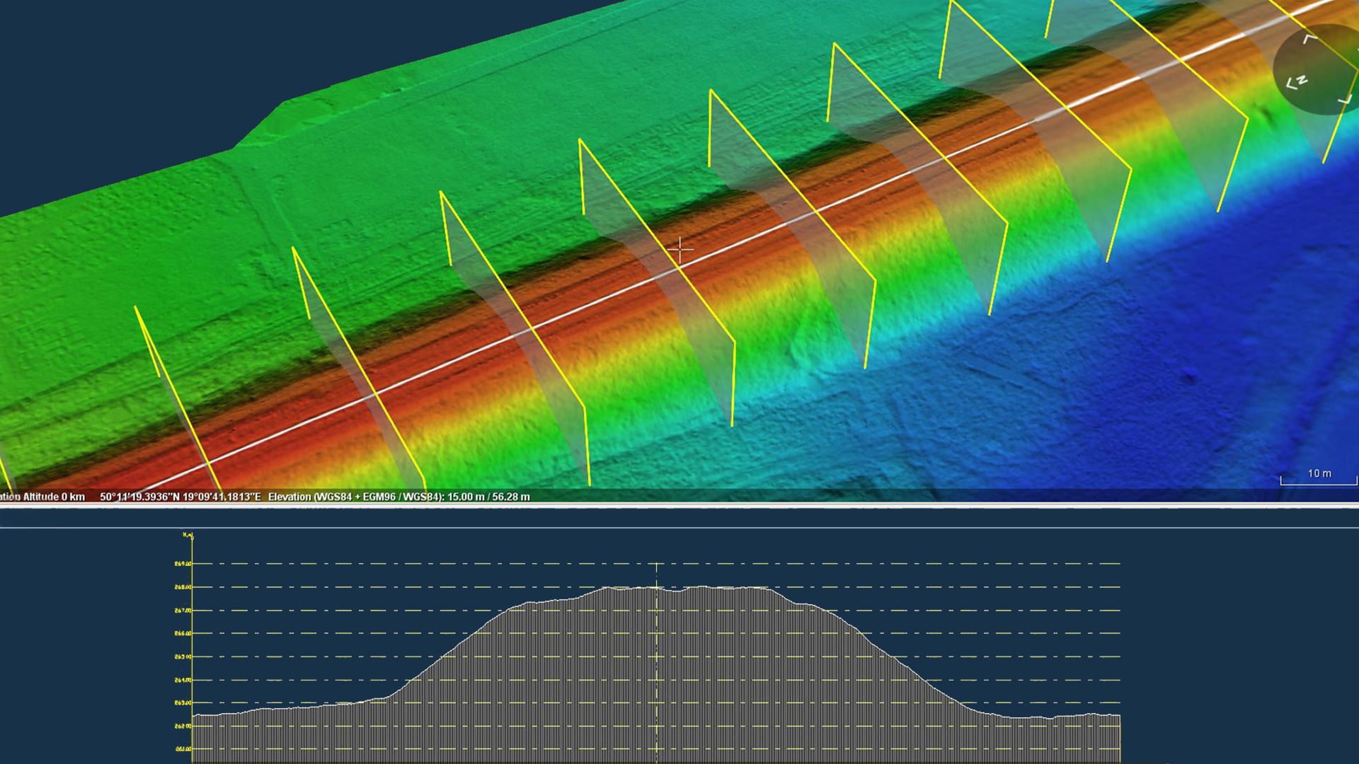
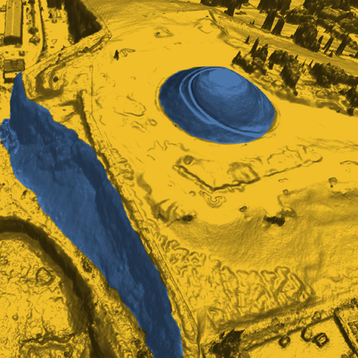
Zero measurement at the design stage and before the start of pavement replacement work.

