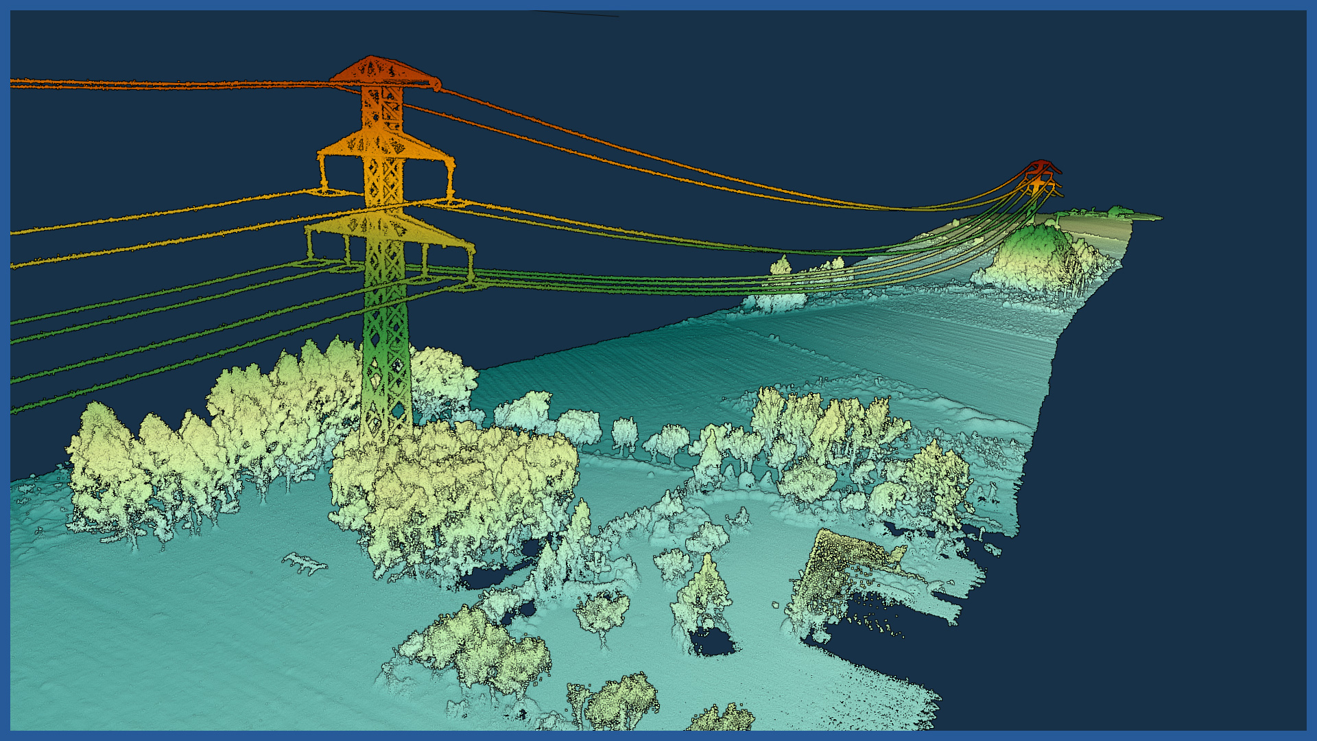
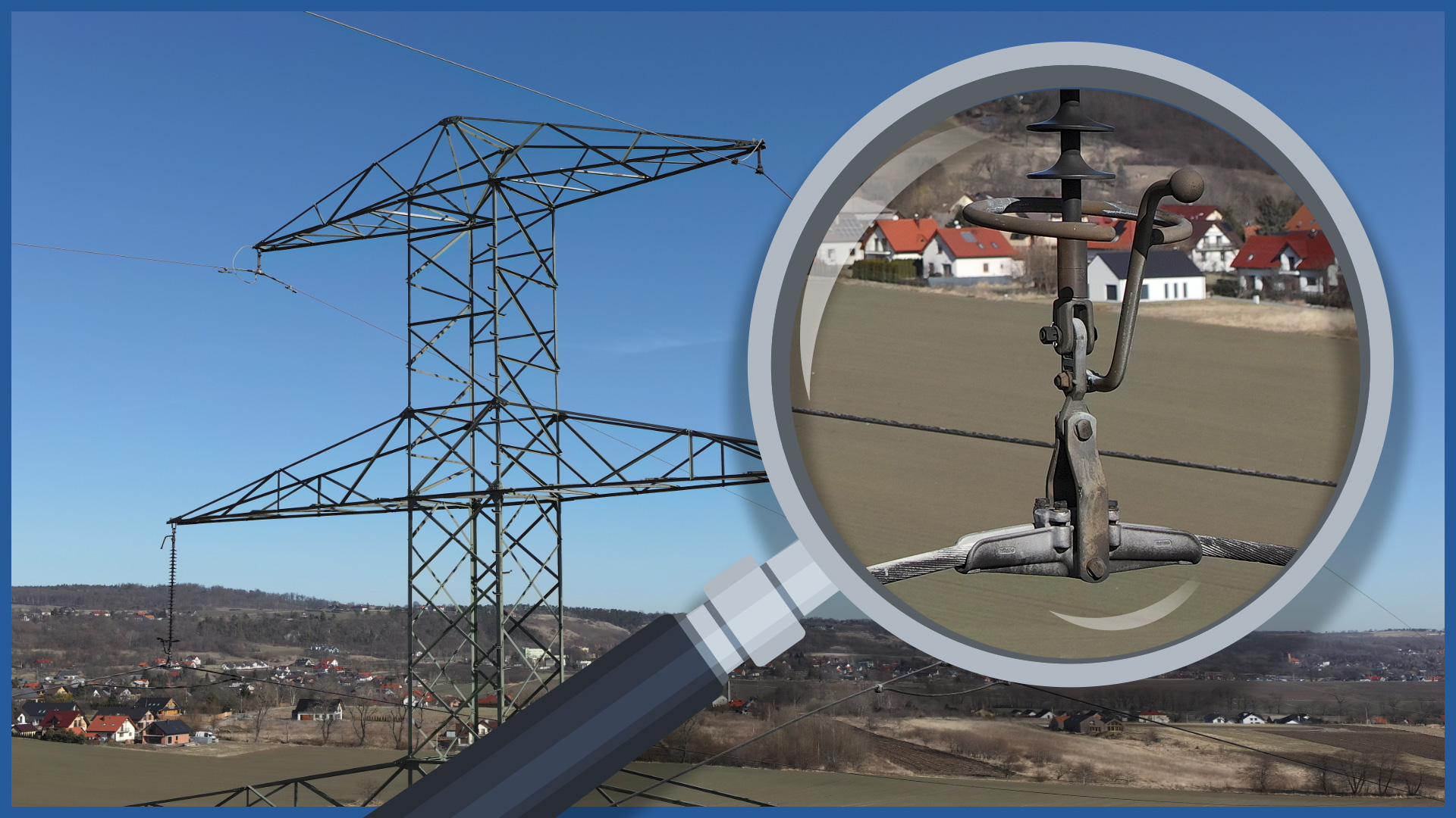
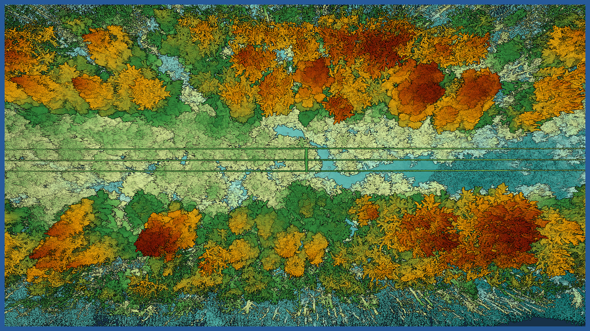
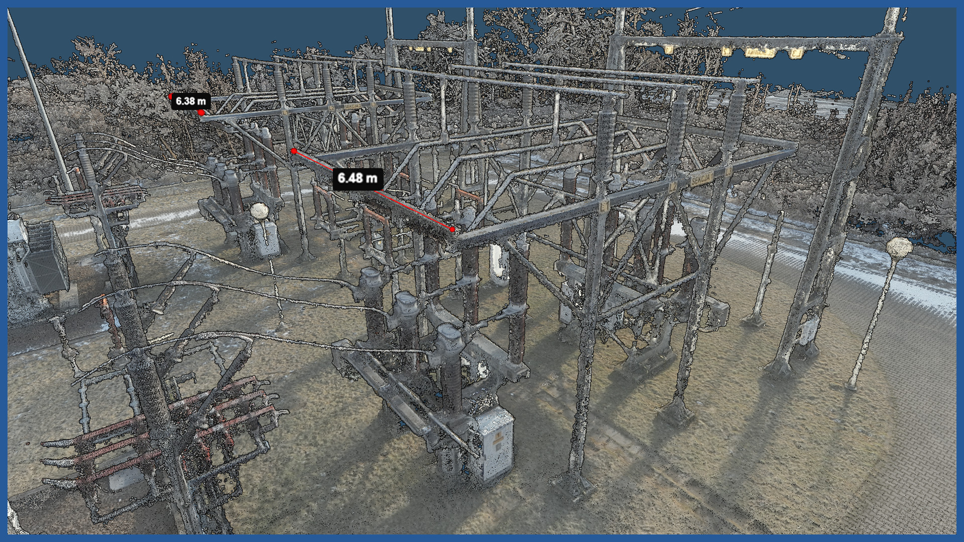
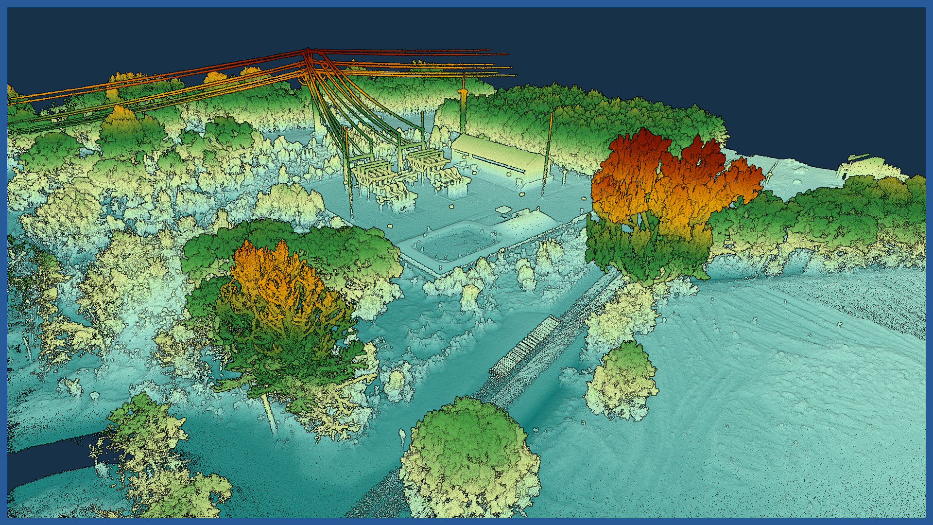
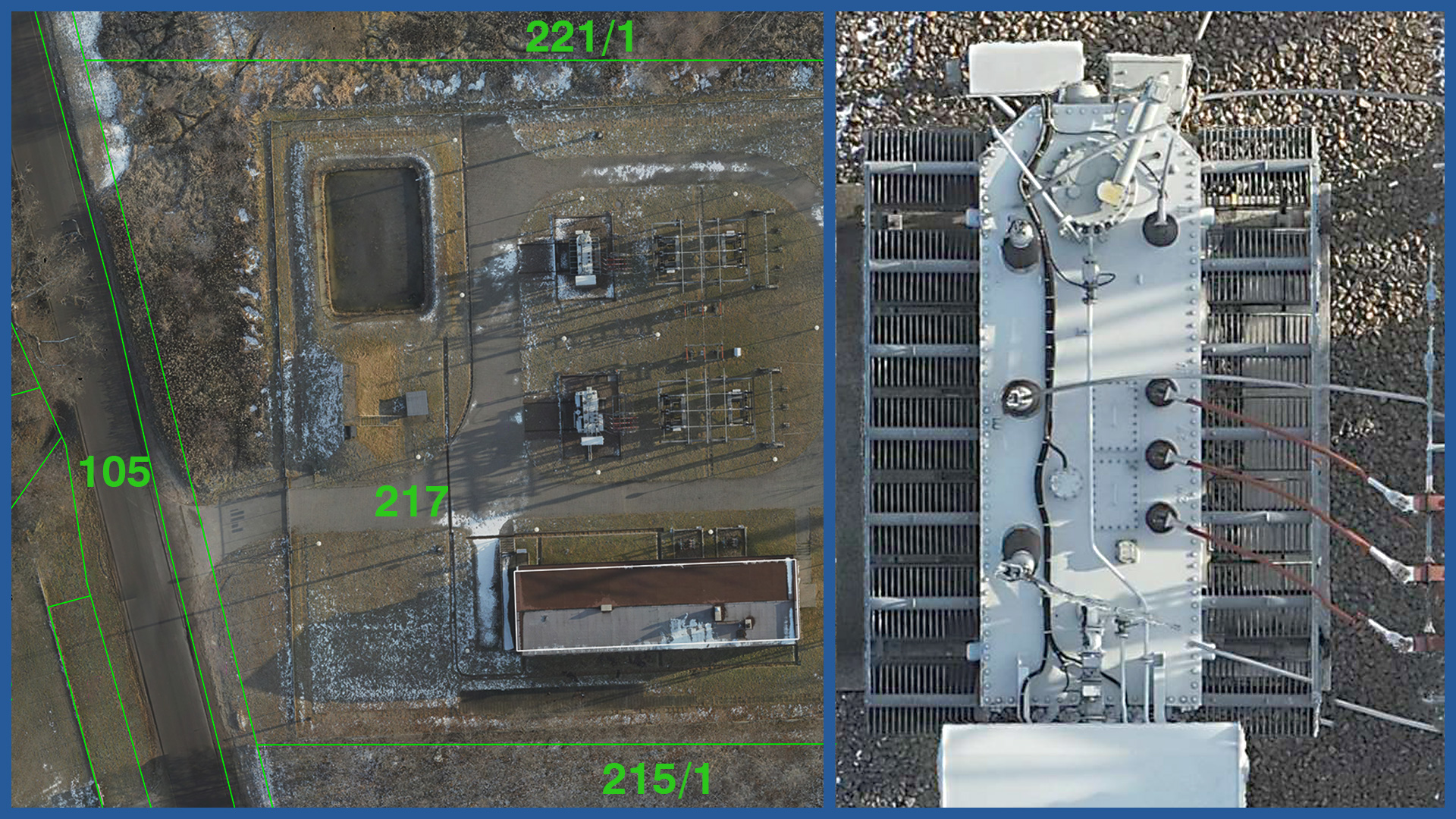
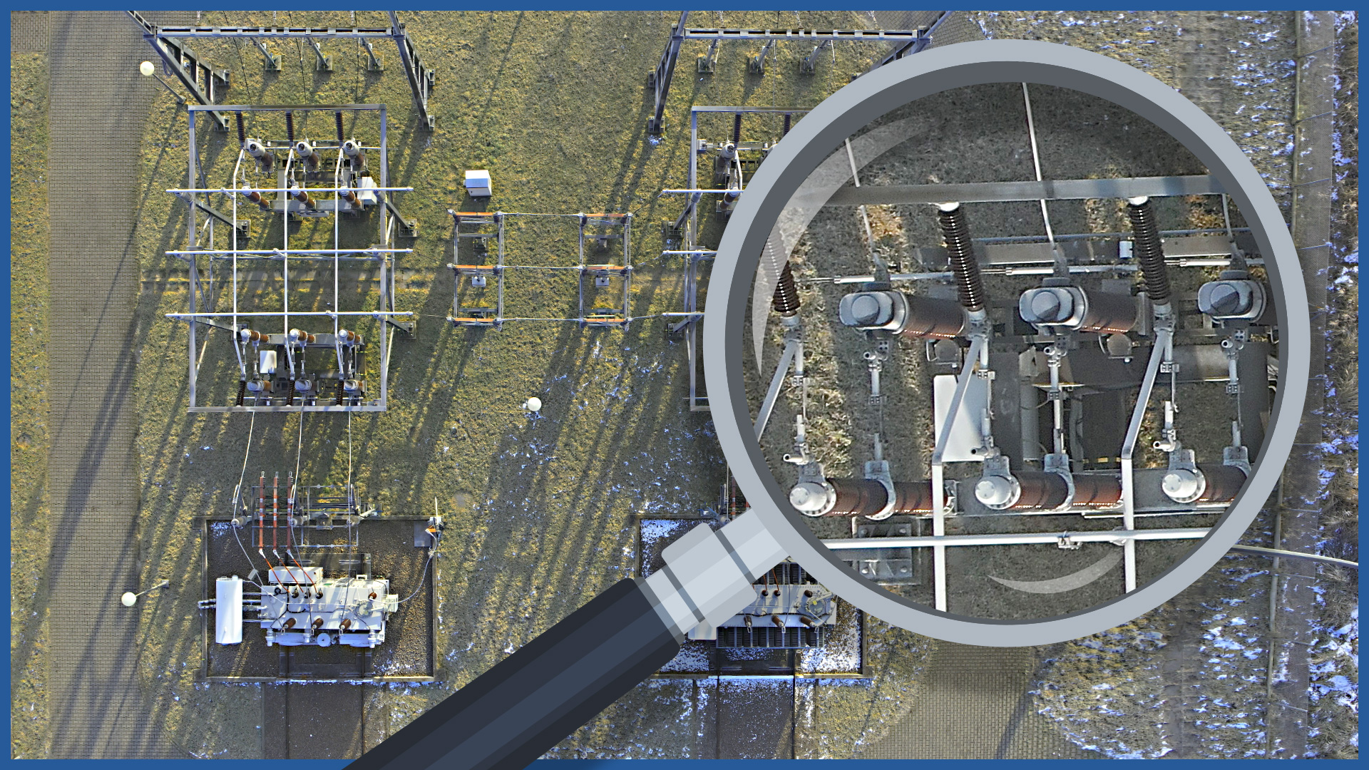
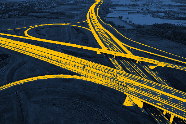
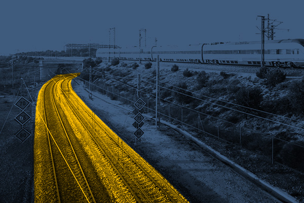
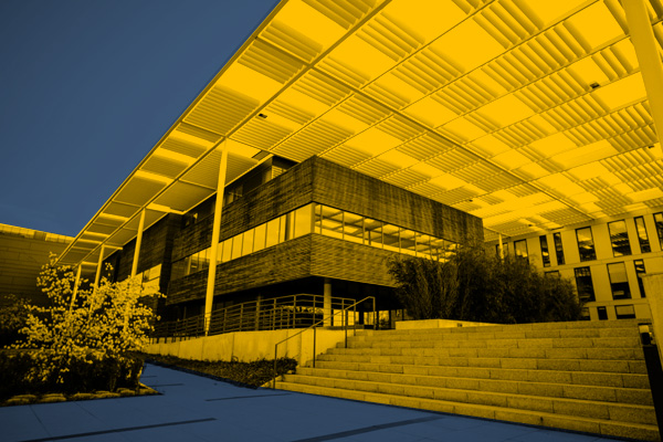
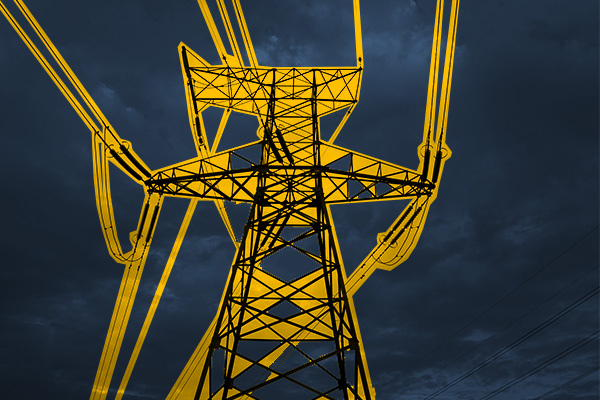
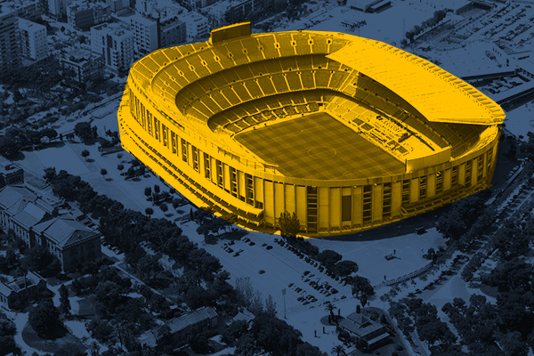
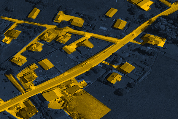
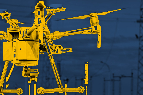
The low-altitude aerial survey techniques we use open up the possibility of modern studies for the energy industry.
Highly detailed and precise data is possible through the use of aerial photogrammetry and laser scanning.
The biggest advantages of the measurements we carry out using this method include:
– short measurement and development time
– detail devoid of generalization
– possibility to measure places difficult to access
– increased safety of those performing the measurements
– no need to switch off lines and power devices during measurements
– implementation of measurement data into all major design support programs
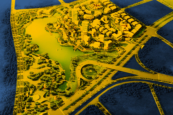
The documentation can be presented in the form of spatial studies and models, as well as traditional 2D imaging.
Power lines:
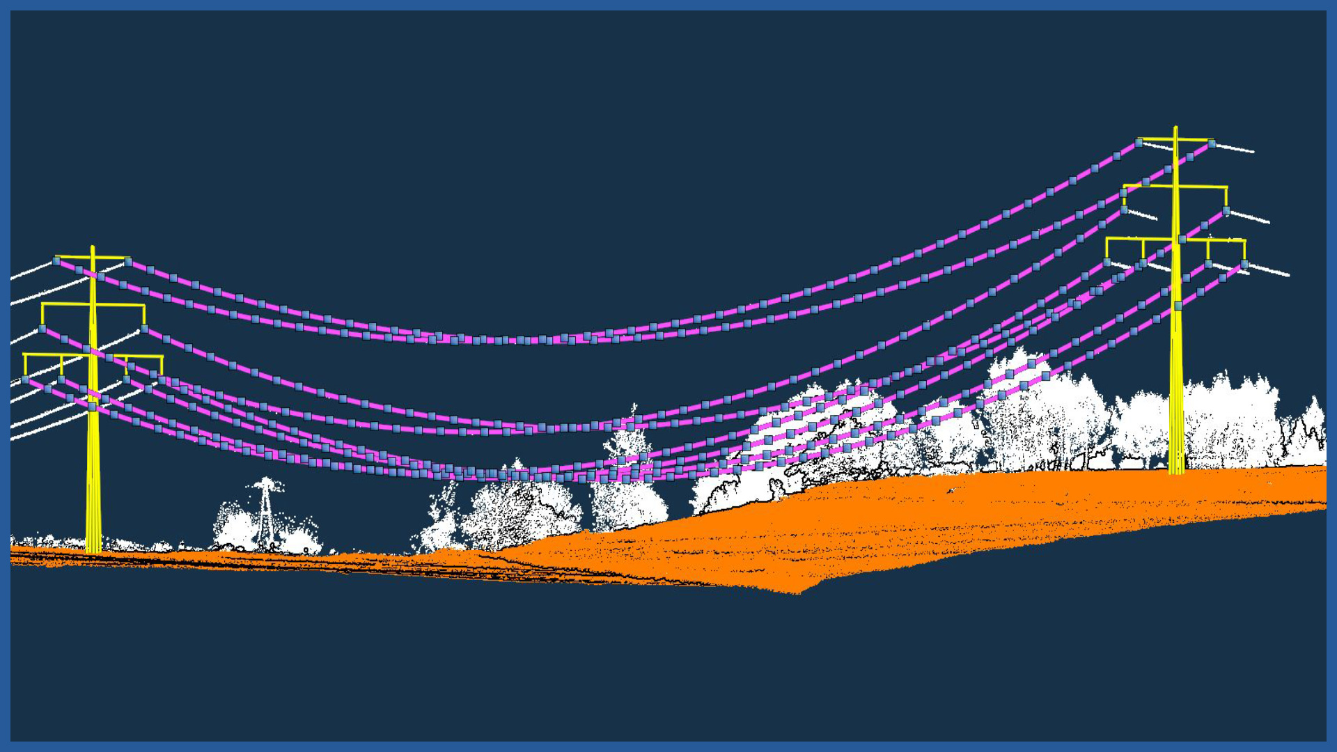
– powerlines modeling
– calculating catenary parameters
– powerlines profiles
Electricity stations / traction substations:
