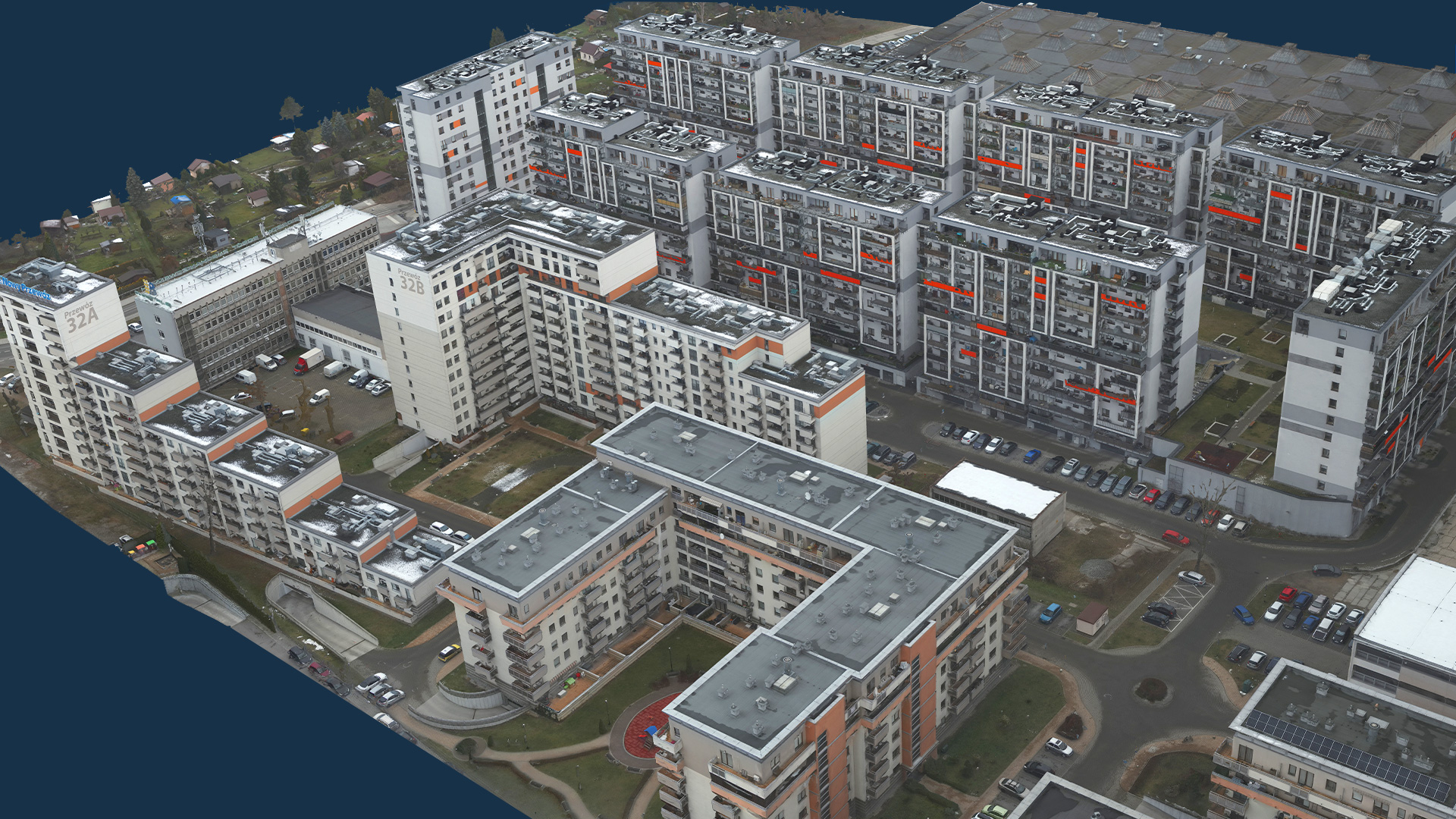
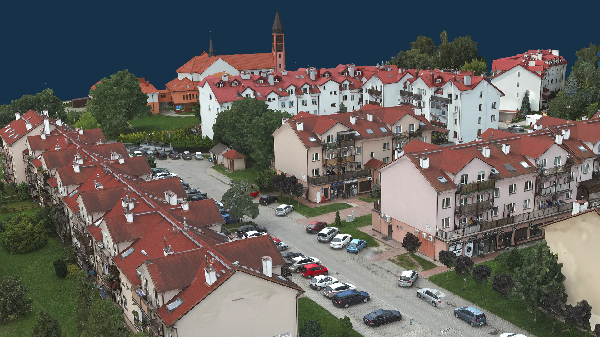
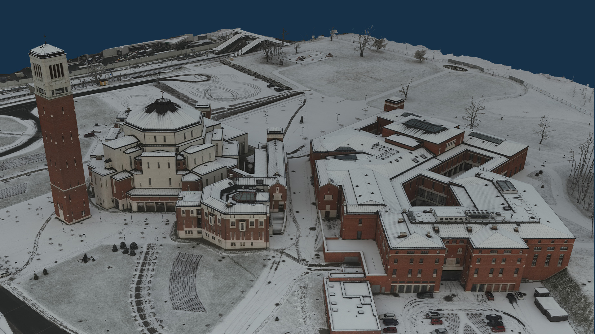
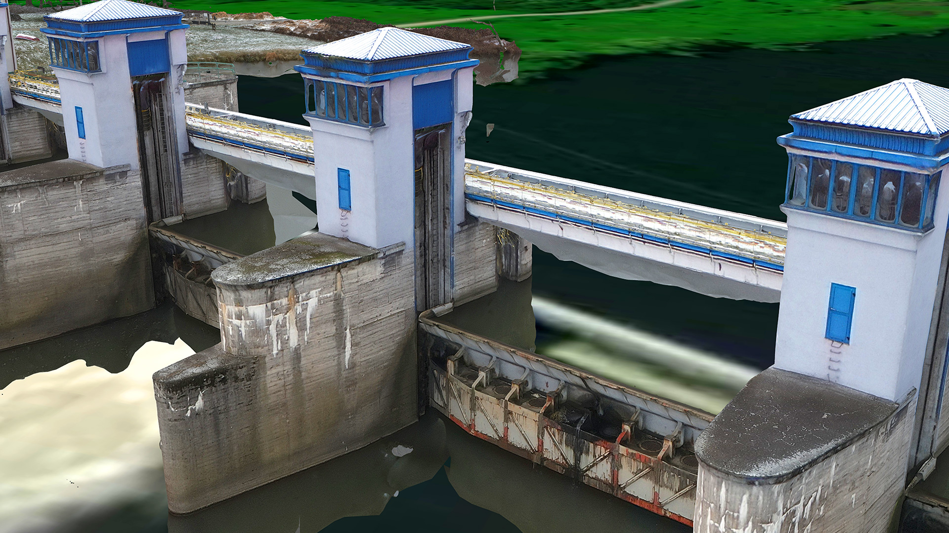
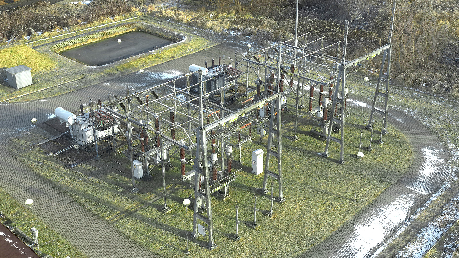
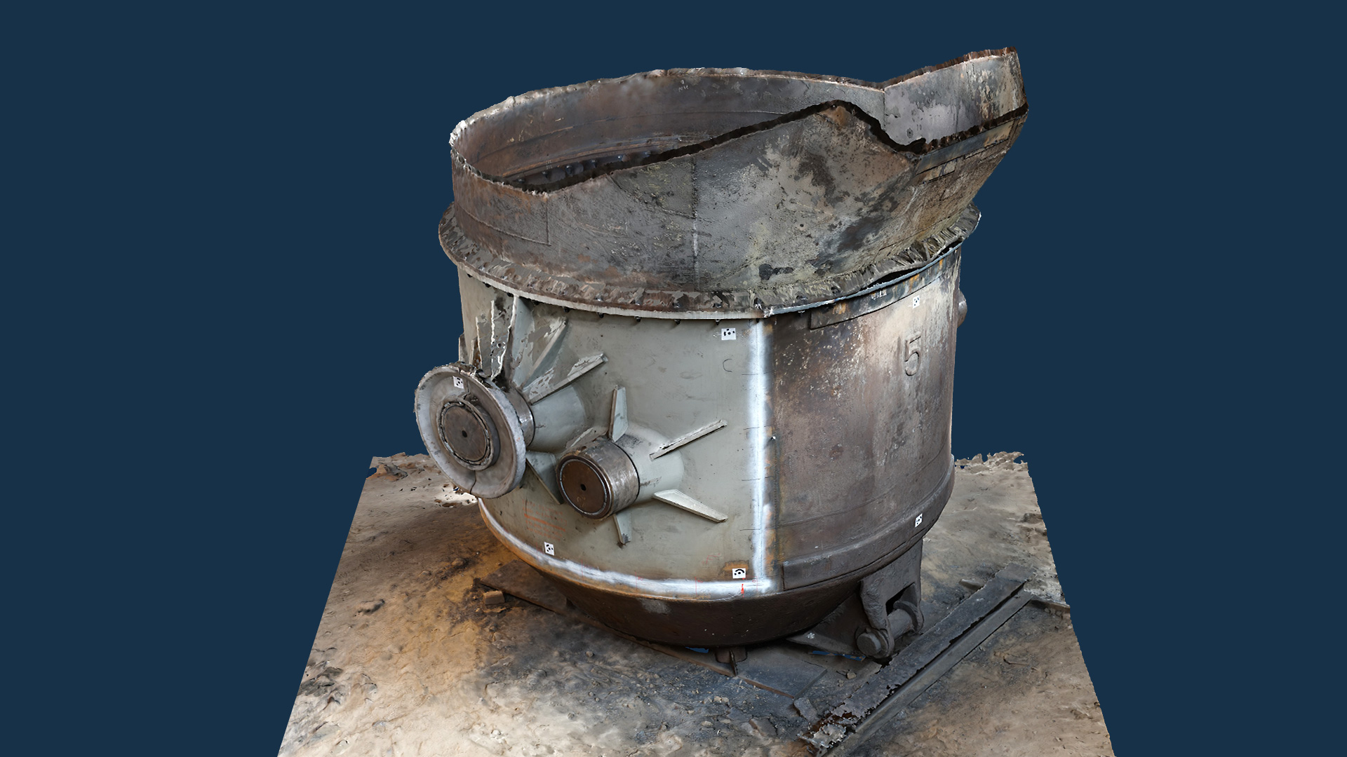
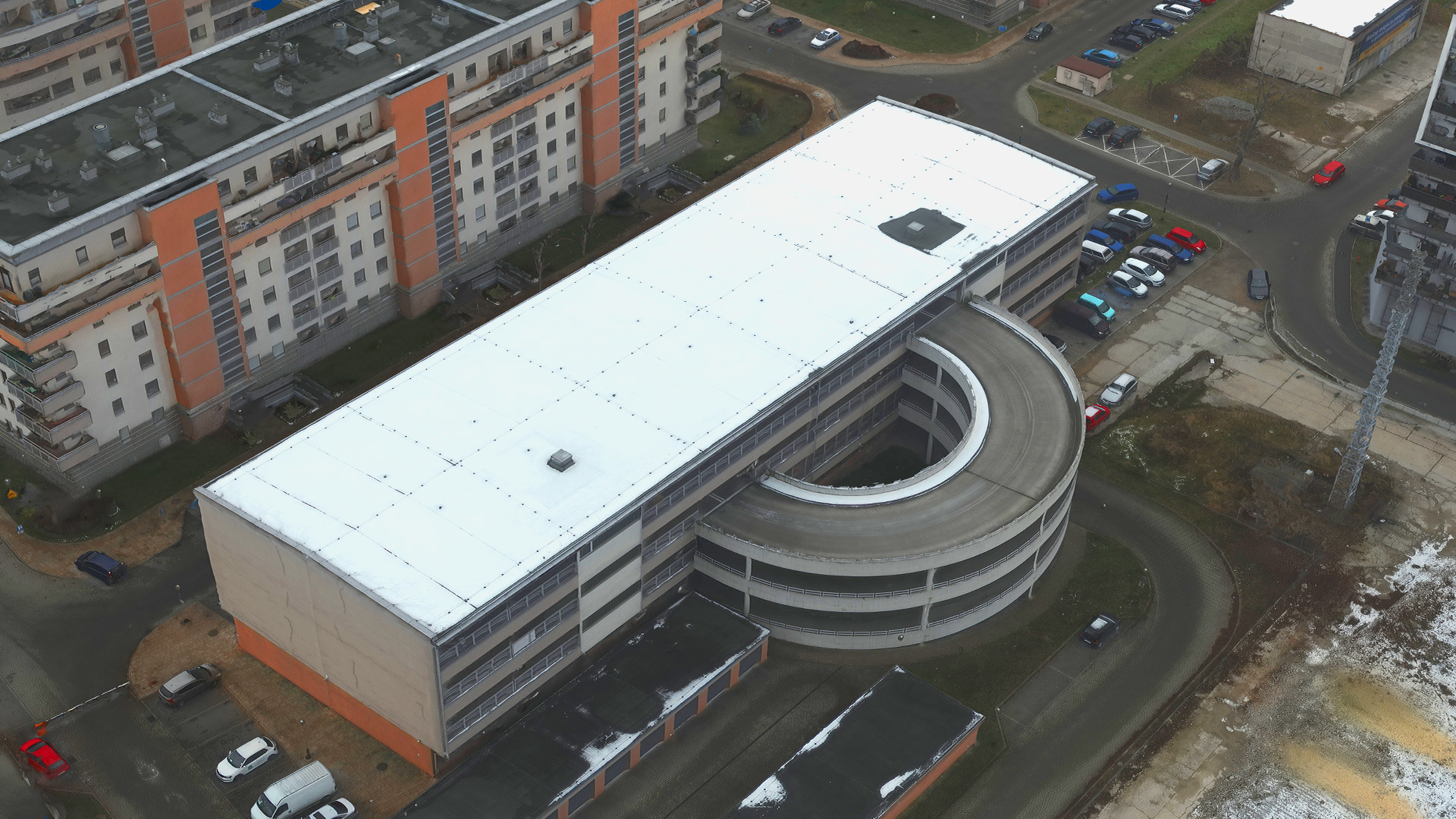
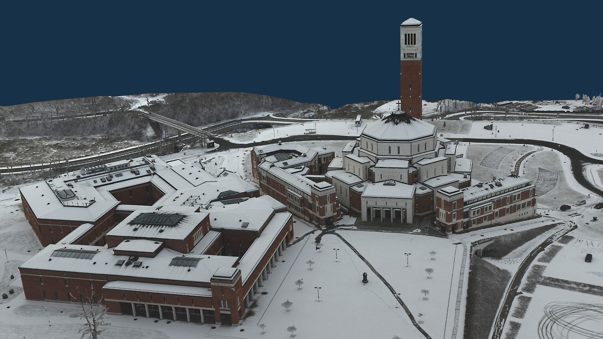
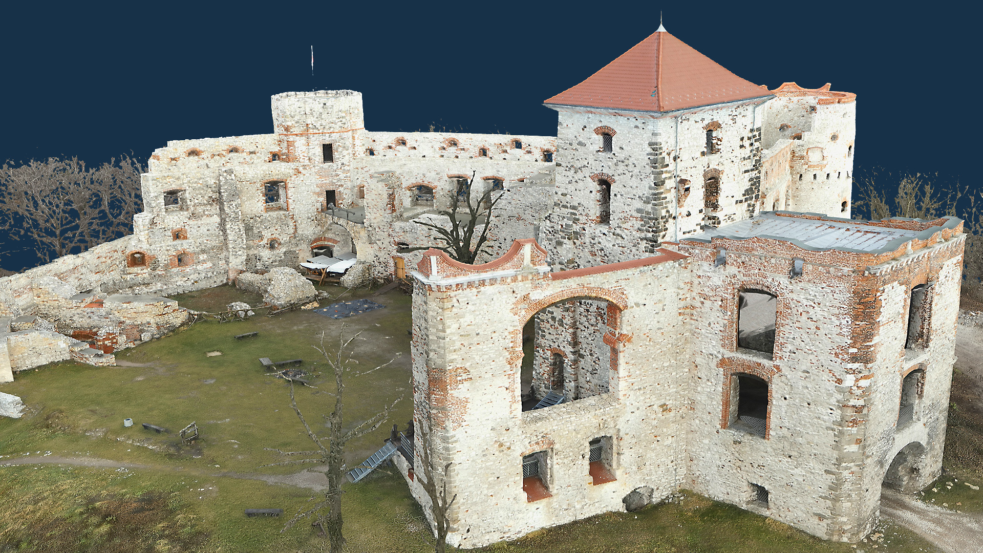
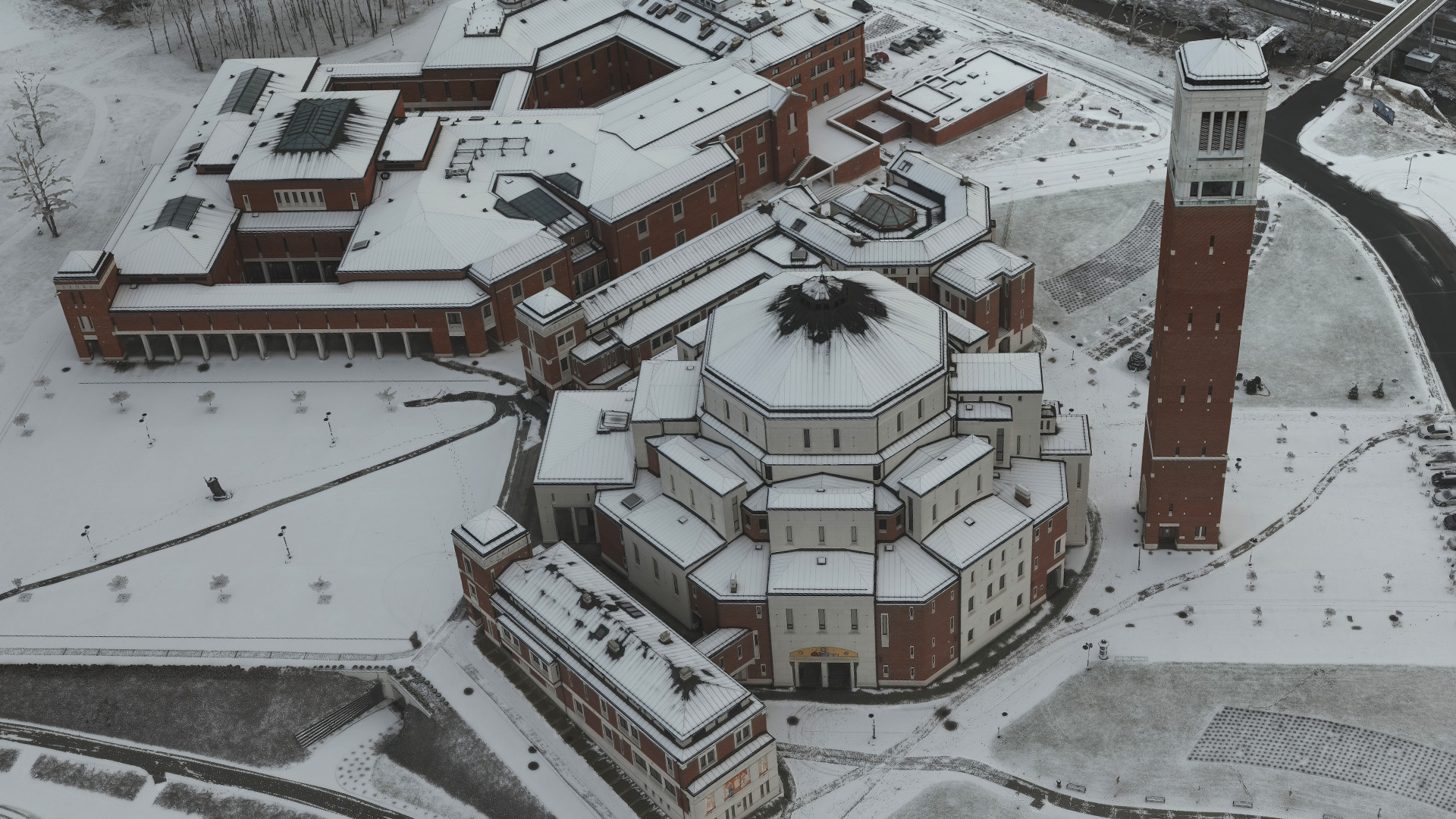
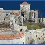
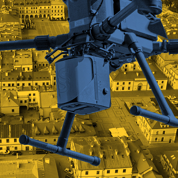
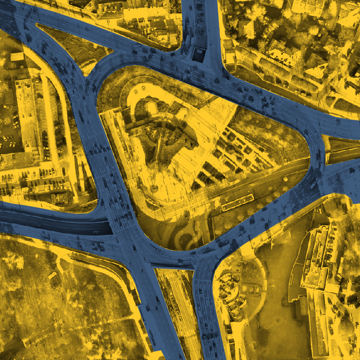
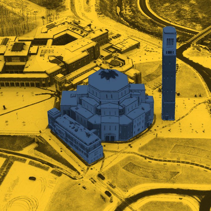
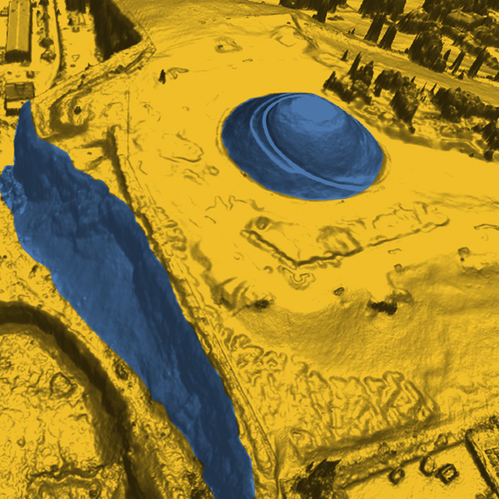
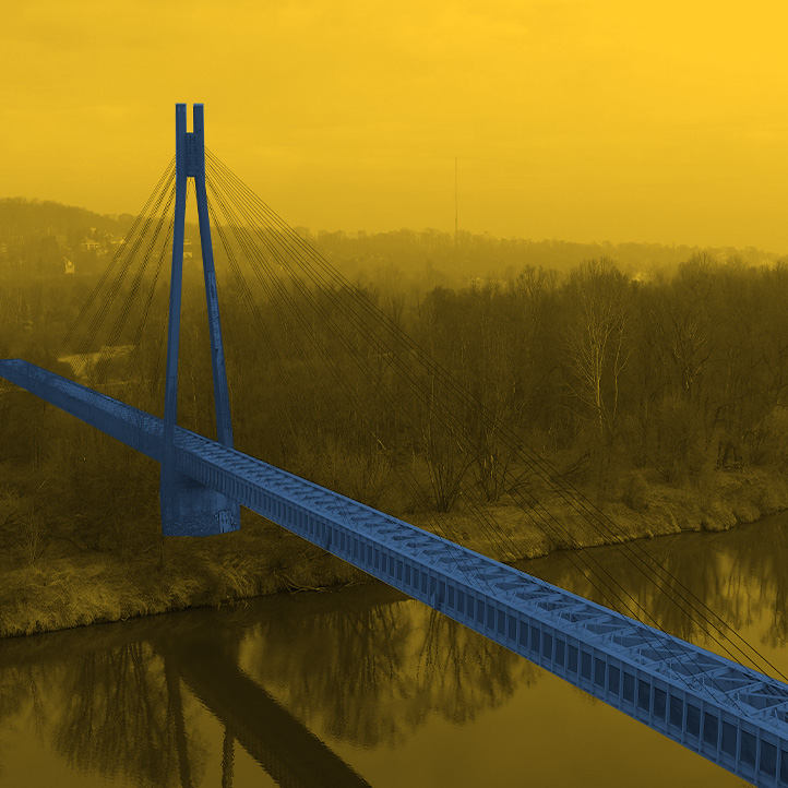
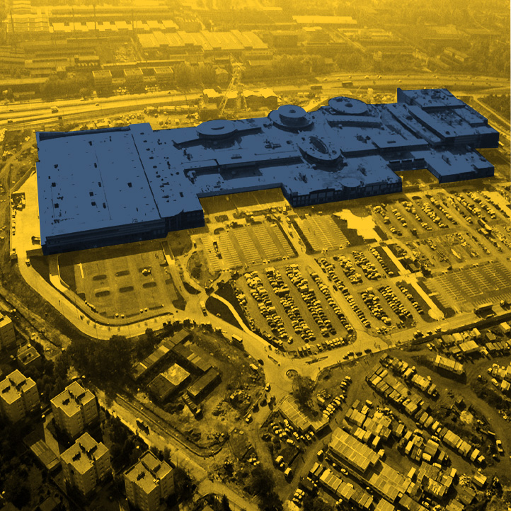
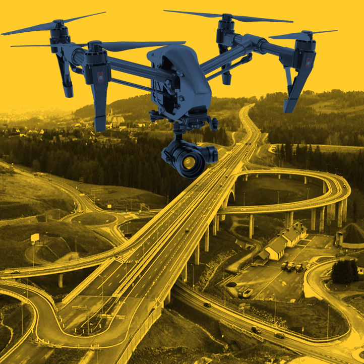
Photorealistic 3D models are the most modern way to visualize the land with its development. We transfer the precise and detailed photos acquired by us by photogrammetry method to three-dimensional space with the help of specialized software. The result is a detailed and active presentation, which, in addition to visual value, gives the possibility to perform a number of analyses, studies, applications. We generate models in the form of triangle meshes from photographs acquired by aerial methods, which we then fill with colorful dense textures. The result of the final processing is an accurate and impressive model that represents reality. During the survey, we record the coordinates of the camera and use control points, so the models are georeferenced, located in the applicable coordinate system and have high accuracy. Among the most important advantages of the photorealistic models we make are the short time of data acquisition and processing. For this reason, the customer can quickly receive the finished product, and the cost of its production is low. However, this does not affect the quality. The models have a high accuracy. In the case of terrain modeling, we achieve accuracy of up to a few centimeters, and in more detailed development with proper assumption and measurement of control points even more. Our 3D models are characterized by a very high level of detail. Due to the automation of the modeling process and its quality, it is possible to efficiently model objects characterized by complex shapes, the modeling of which by hand would be a time-consuming and tedious process. The aerial techniques we use also allow us to record areas and objects with difficult access. The efficiency of the technology becomes apparent at large development ranges. The final presentation is clear to all viewers. It is a digitally recorded object visualized in the way the average observer is used to. The models can also be used in CAD software and specialized applications from the BIM environment. Photorealistic 3D models find applications as an element of terrain information (GIS databases). They can serve in communication and visualization of investment and construction processes. Become a striking marketing element. Examples of applications: Increasing development in the digitalization of the world is unlocking more applications for our models. > What is a photorealistic 3D model?
ZALETY TECHNOLOGII
EXAMPLES OF APPLICATIONS
INTERACTIVE VISUALIZATION

