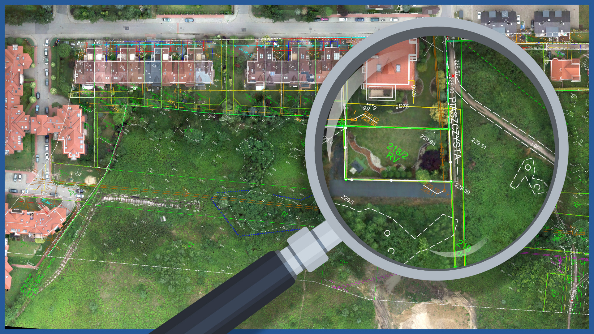
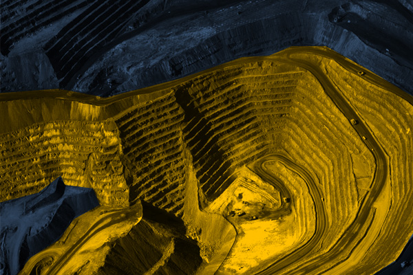
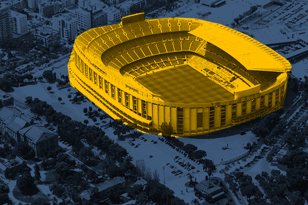
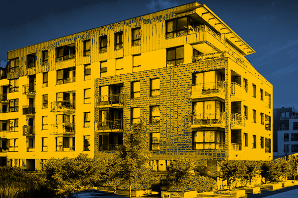
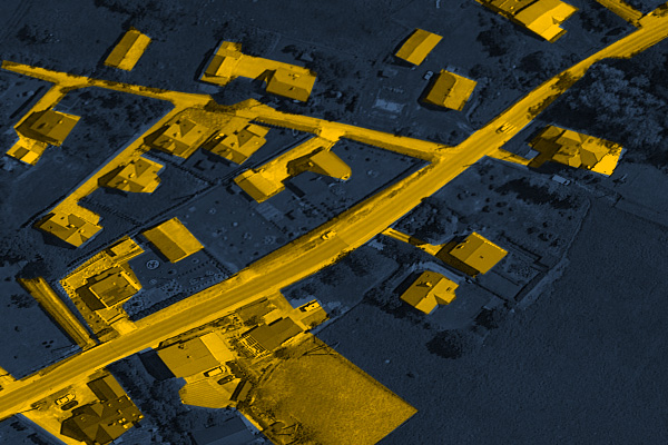
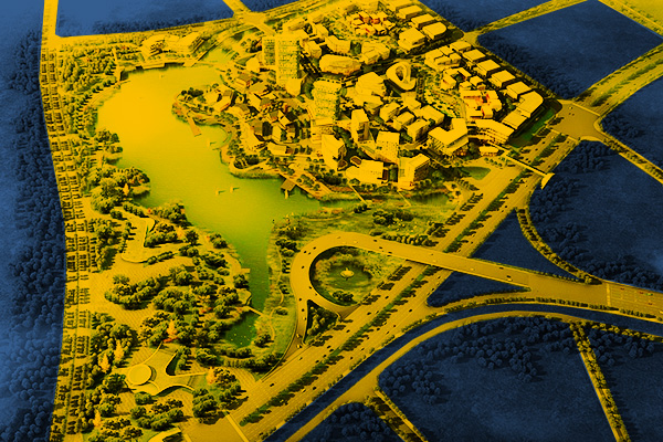
High-resolution orthophotos complement terrain information databases. They are an ideal base for many vector data (cadastral maps, base maps, spatial plans).
Despite their large-area coverage, they are characterized by high spatial resolution (up to 1 centimeter) and high accuracy.
They are a precise and accurate representation of the terrain, maintain dimensions and are embedded in the correct coordinate system.
The orthophotomap can be used as a document showing the condition in the field on a given day. Example applications:
- urban planning
- updating the database of information about the area
- cooperation with the data contained in the real estate cadastre
- validation of the actuality of the existing status with the boundaries of the land parcels
- control of property occupancy (construction, agricultural, other)
- calculation of biologically active area
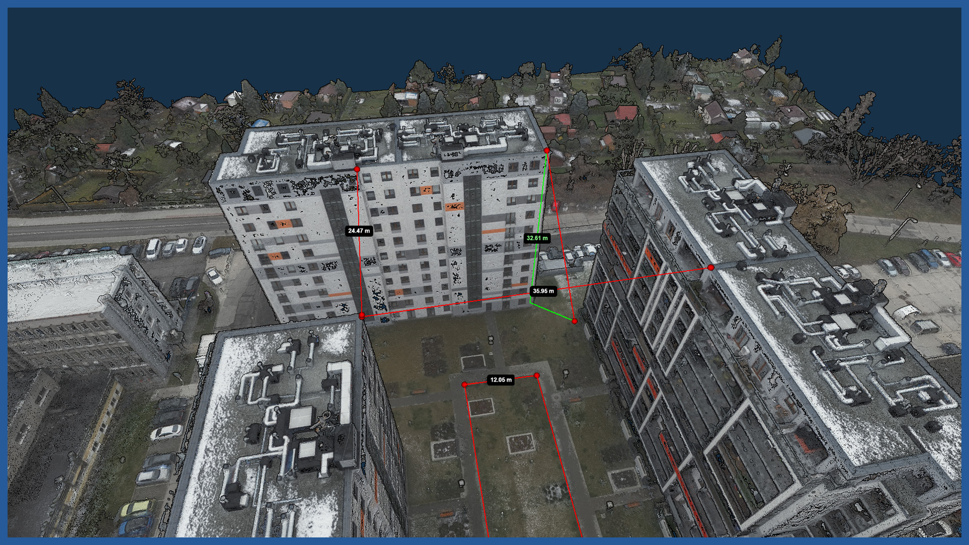
- performing accurate area measurements on selected properties to calculate rain tax
- analysis of development area, buildings, pavements for property tax control
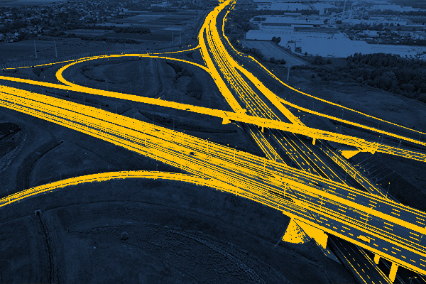
- roadway crossing indentification
- detection of unauthorized constructions
- determination of building lines
It can also be used as a platform and source of information for residents, especially for public consultation.
ORTHOPHOTOMAP CHARACTERISTICS:
| Data format | GeoTIFF / JPEG / PDF |
| Ground Sampling Distance | od 1 cm |
| Accuracy | <3 GSD |
| Coordinate System | adapted to project |
| Color palette | 24 bit RGB |
| Compression | LZW / JPEG |
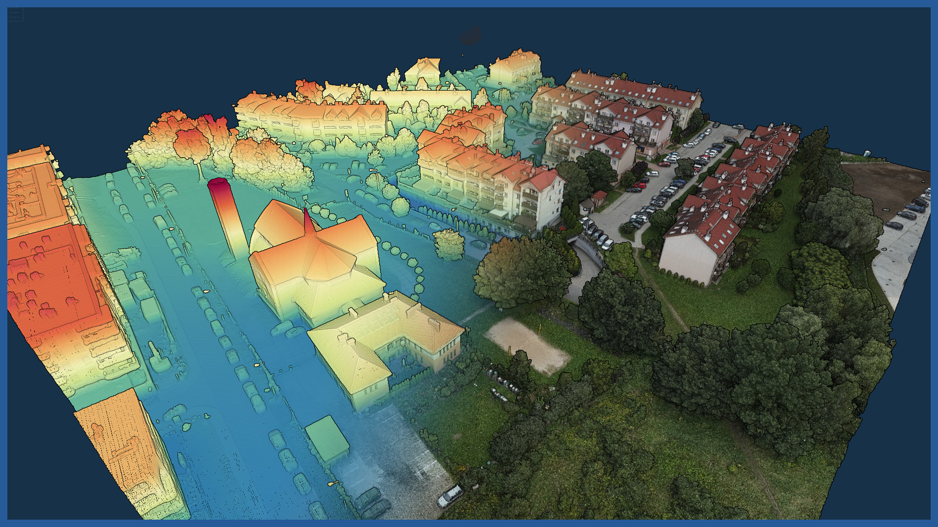
DEM / DTM CHARACTERISTICS:
| Data type | raster / vector |
| Data format | GeoTIFF / DWG / DXF / DTM |
| XY accuracy | <3 cm |
| Z accuracy | <3 cm |
| Coordinate System | adapted to project |
| Vertical Reference System | adapted to project |
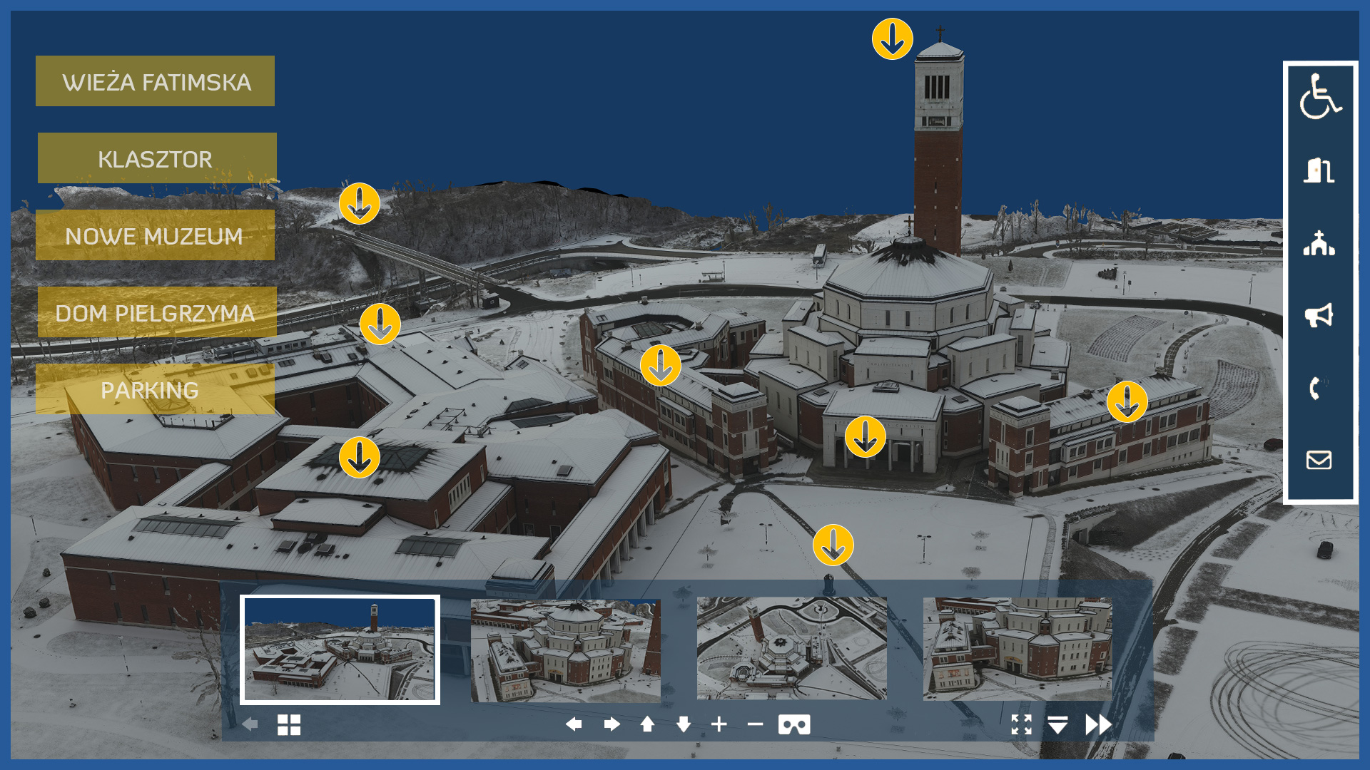
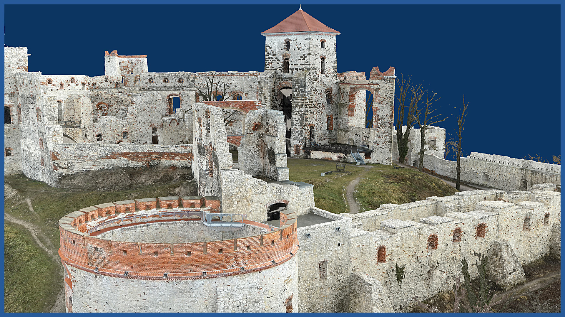
3D MODEL CHARACTERISTICS:
| Data format | 3ds / dae / obj / tls |
| Coordinate System | adapted to project |
| Vertical Reference System | adapted to project |
| Color palette | RGB / monochromatic / by elevation |


