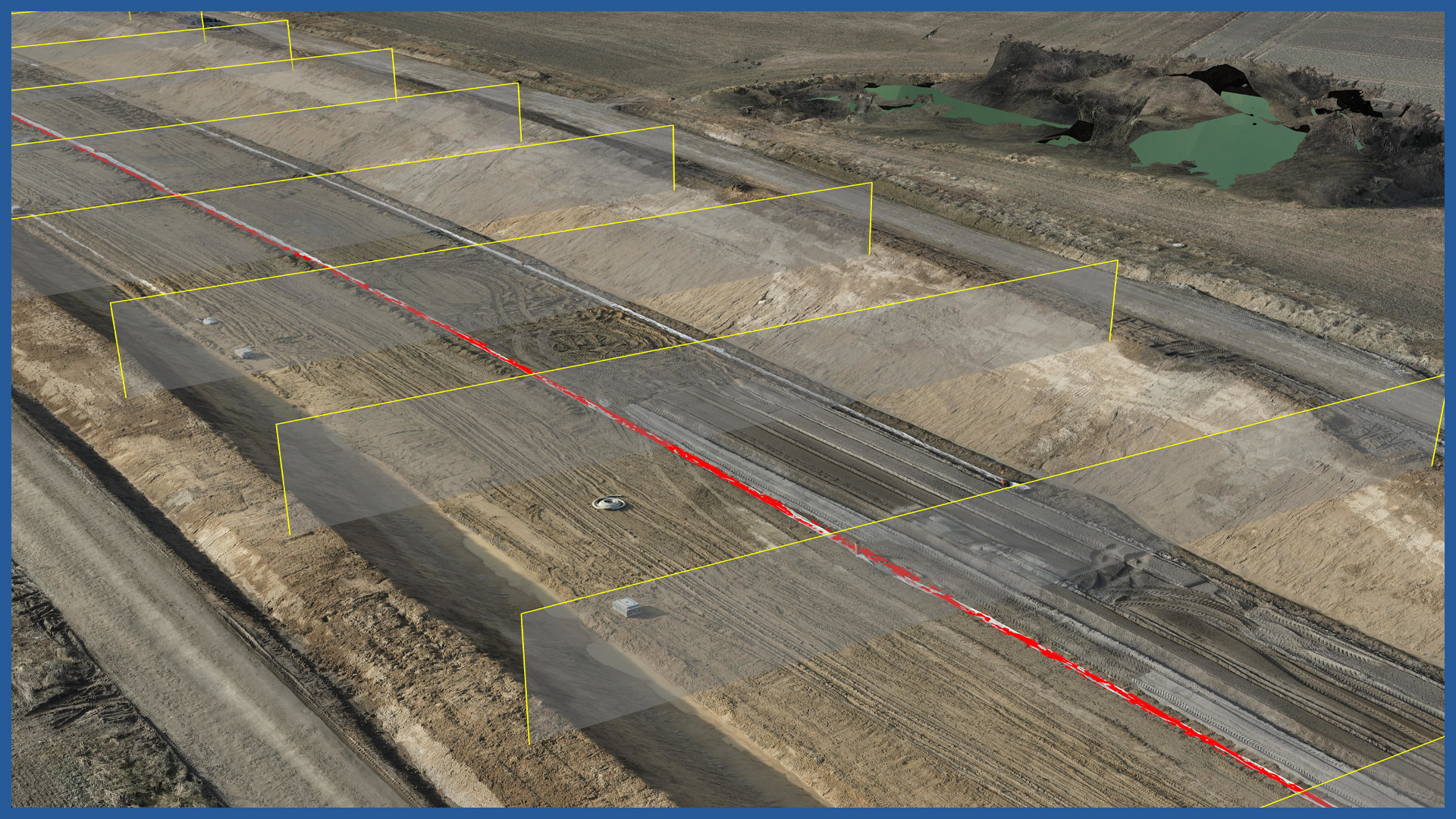
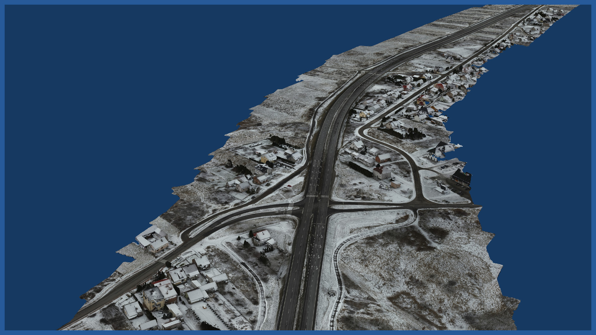
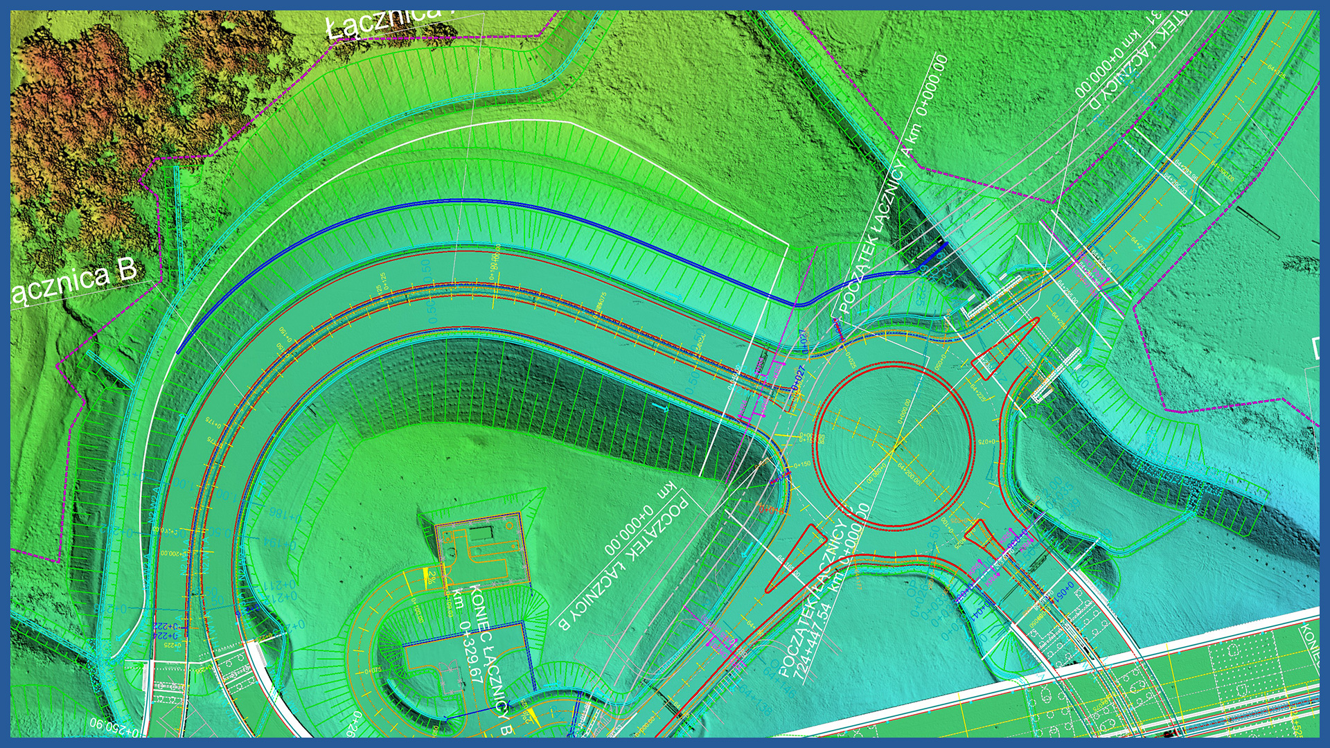
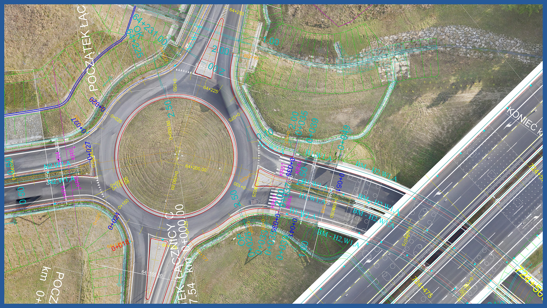
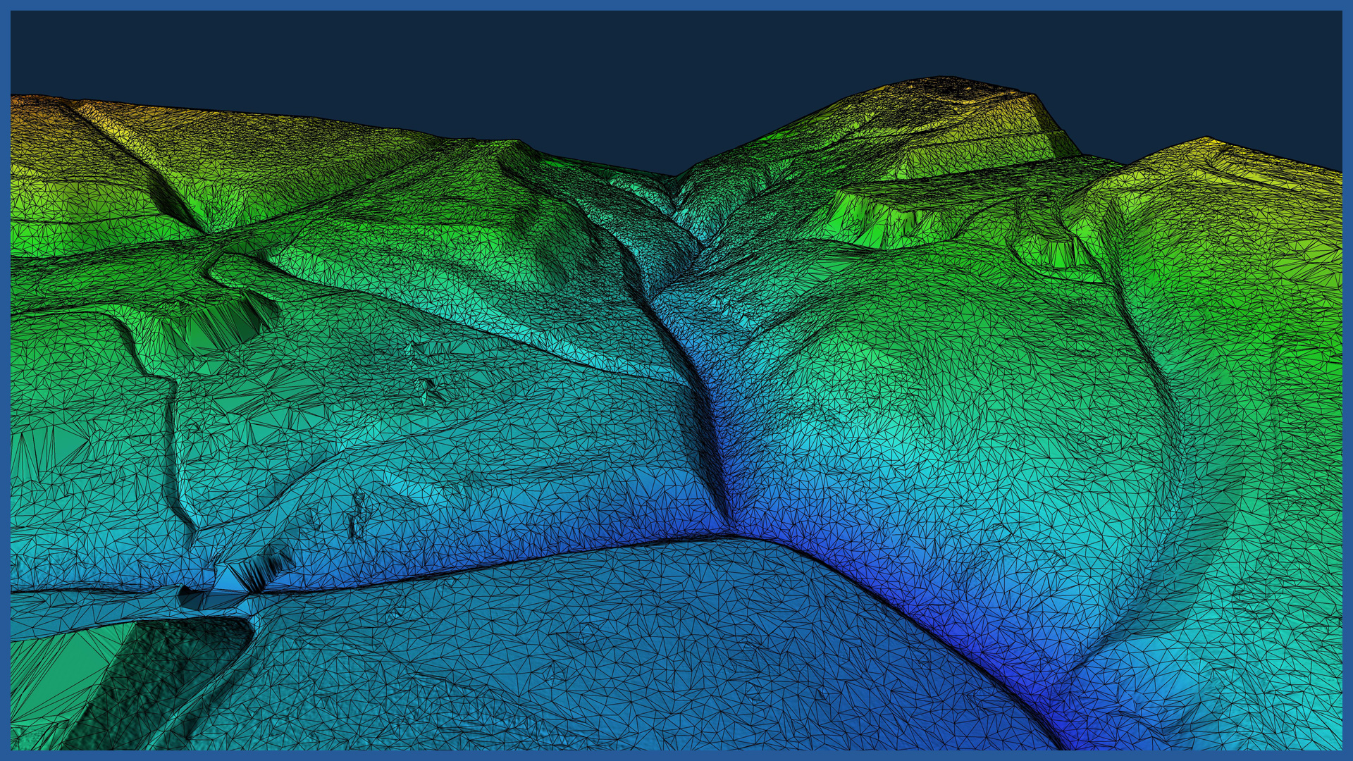
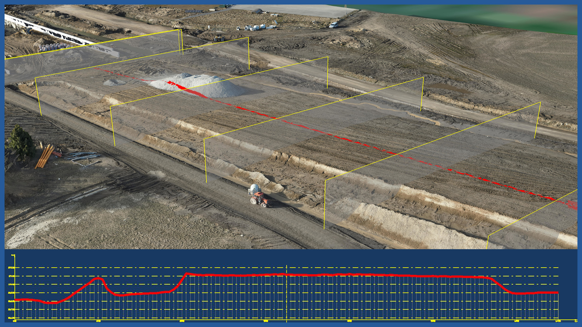
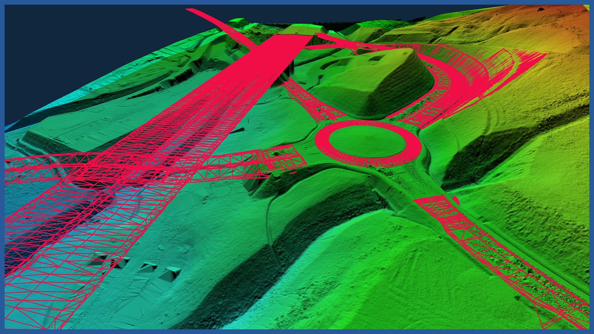
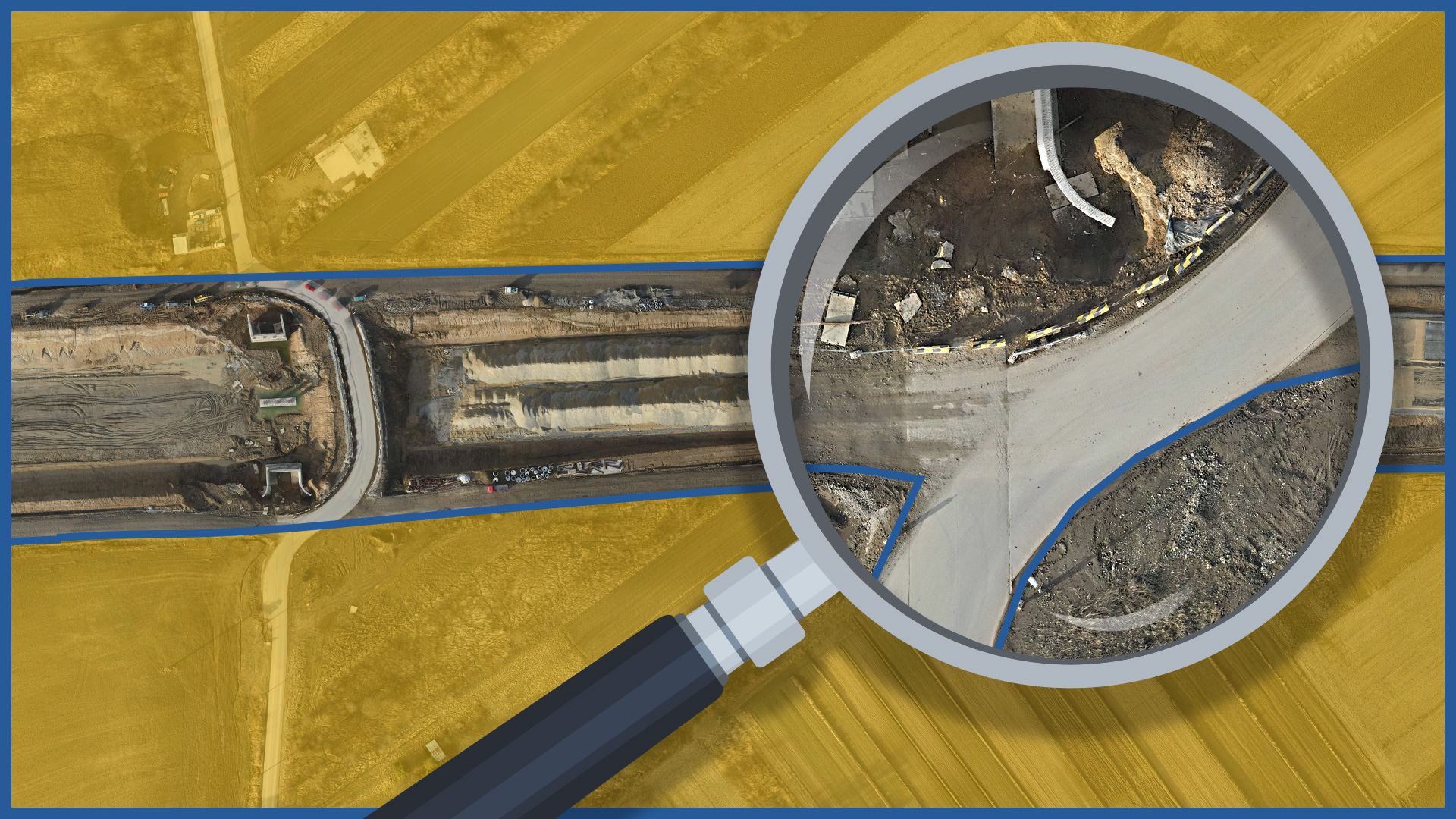
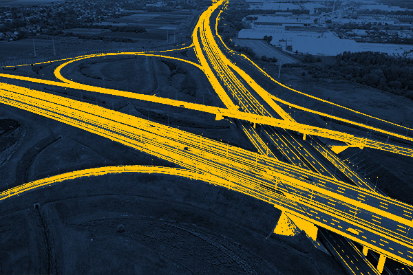
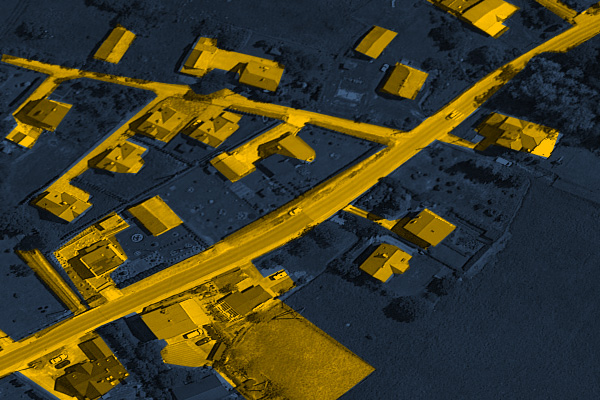
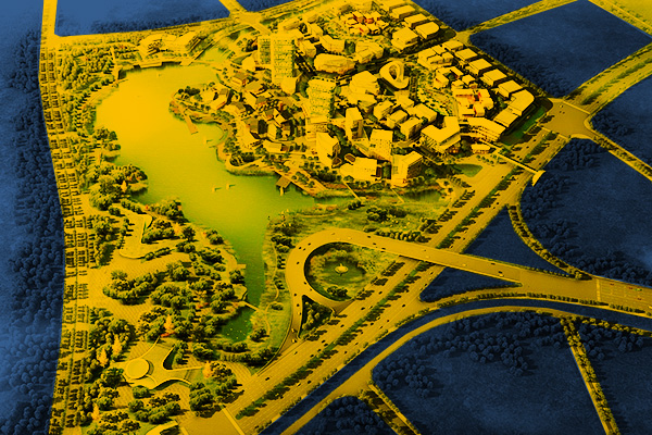
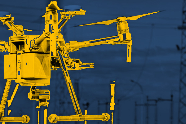
Using modern aerial techniques (low-altitude photogrammetry, airborne laser scanning), we provide precise and detailed imaging of road investment areas. In a short period of time, we are able to measure and process large areas, while maintaining detail. By measuring from the air we can reach places with difficult access, and by using LiDAR we measure the terrain of areas covered with forest complexes, bushes, agricultural crops. Documentation can be presented in the form of spatial models or as traditional 2D imaging. The format of the data allows it to be implemented into all major CAD software solutions. Our praoducts can serve at the stage of design, implementation and supervision of the construction process or be a complementary control measurement, as well as being an interesting visualization of the state of construction on a given day or a record of changes taking place. Technology allows us to avoid generalization and measurement errors. Select an area of interest: – periodic/cyclic measurements for groundworks control – creating cross section and comparing with projectINDUSTRIES WE WORK FOR
ROAD INFRASTRUCTURE
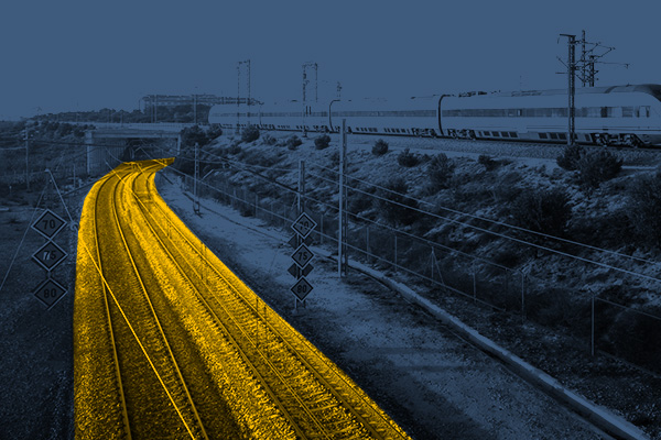
RAILWAY INFRASTRUCTURE
DESIGNING
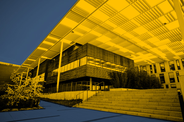
ARCHITECTURE
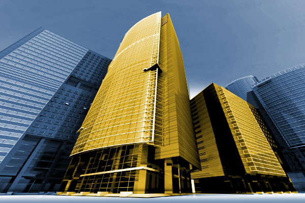
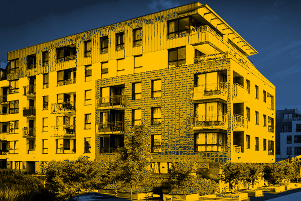
BUILDINGS
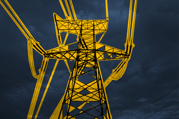
ENERGETICS
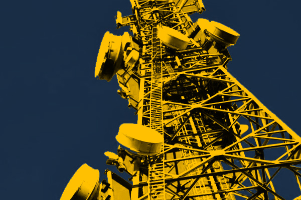
TELECOMMUNICATIONS – MASTS, TOWERS
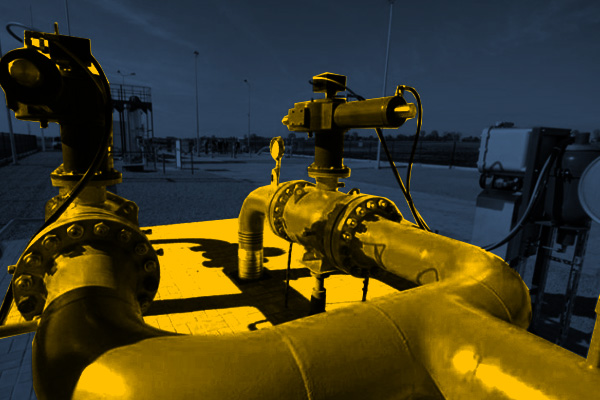
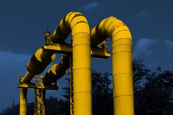
GAS NETWORKS
HEAT NETWORKS
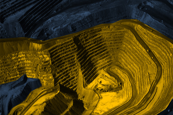
MINES, STOCKPILES, QUARRIES
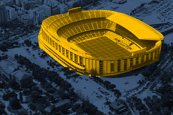
SPORTS AND RECREATION FACILITIES
REAL ESTATE: INVESTMENT, MANAGEMENT, SUPERVISION
MUNICIPALITIES, TERRITORIAL UNITS
ENVIRONMENT
SPECIALIZED MEASUREMENTS

