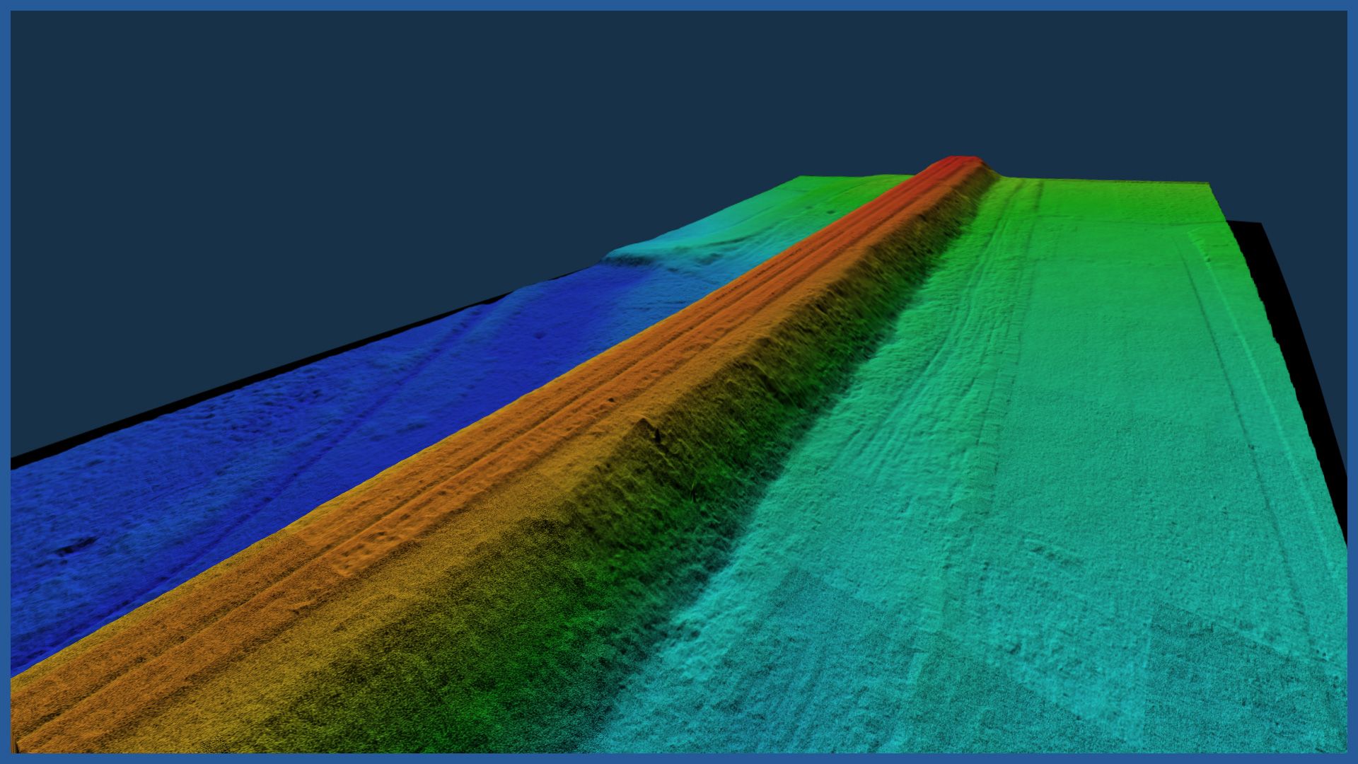
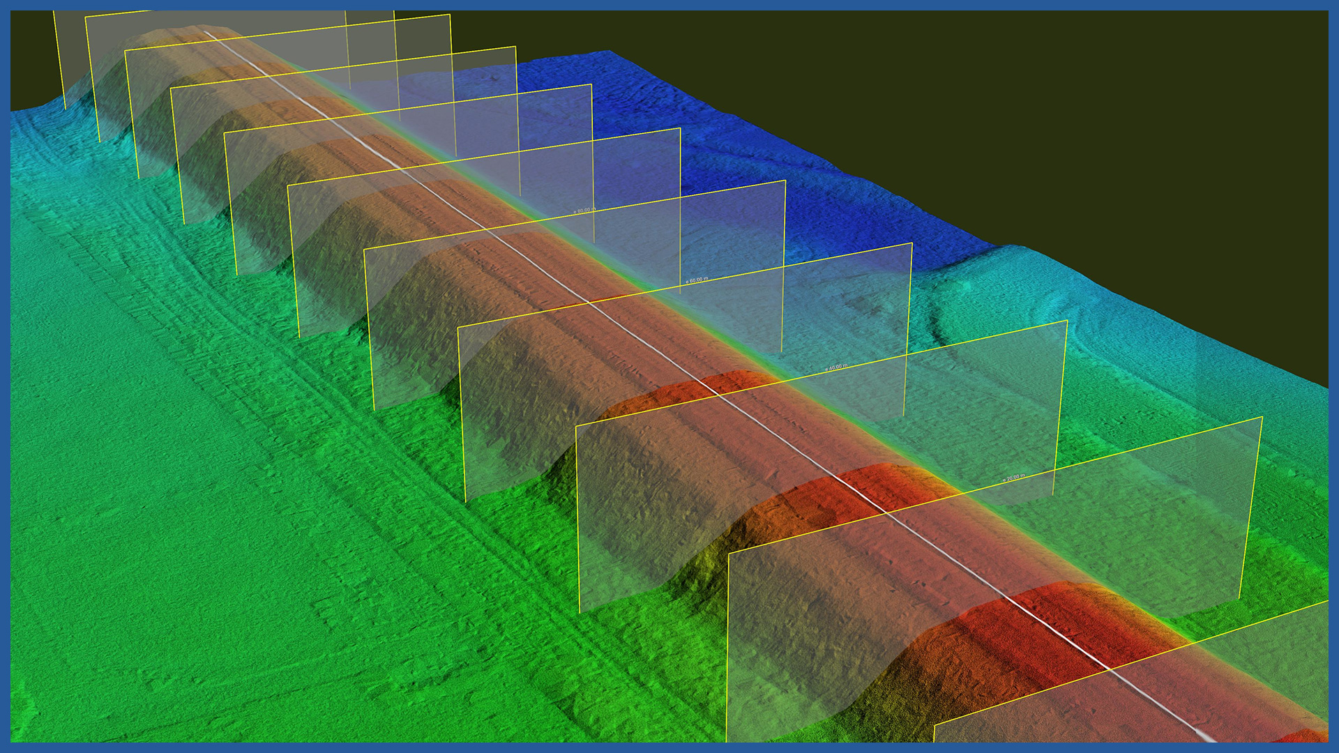
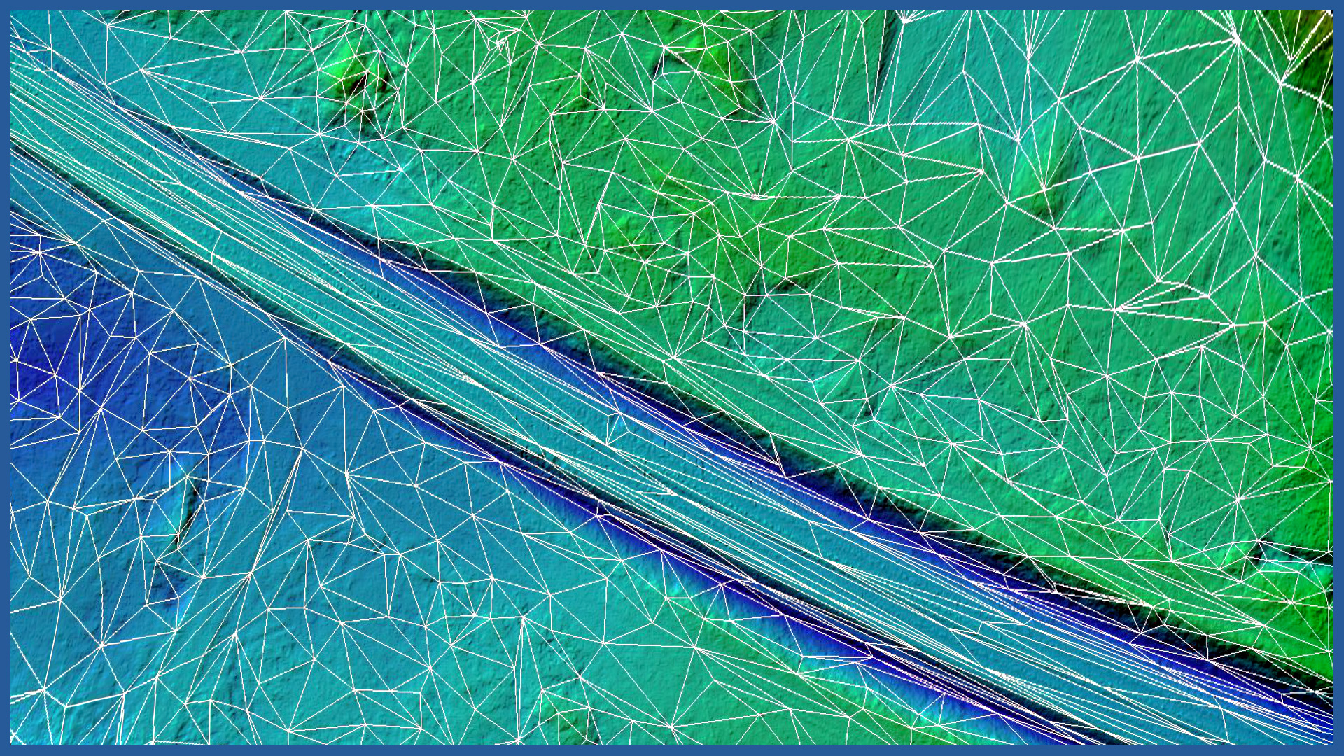
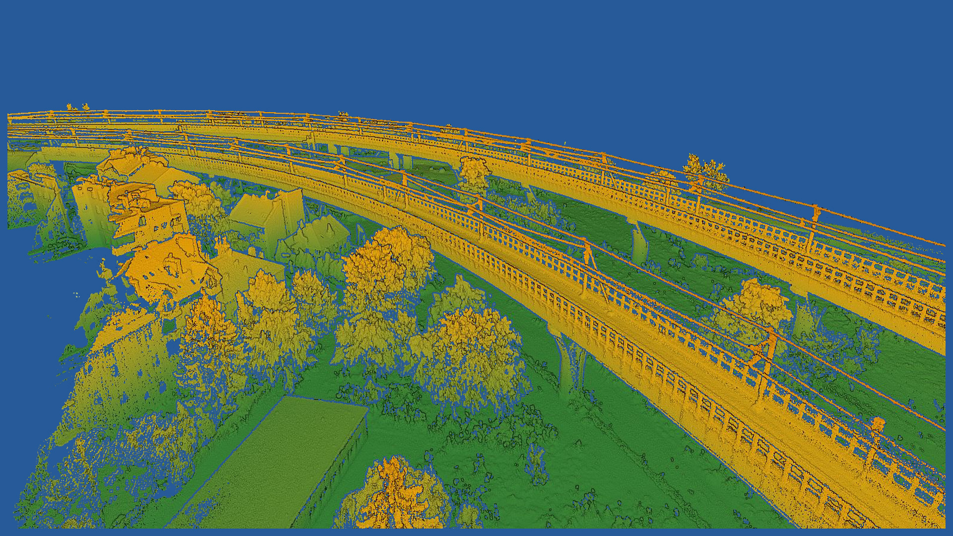
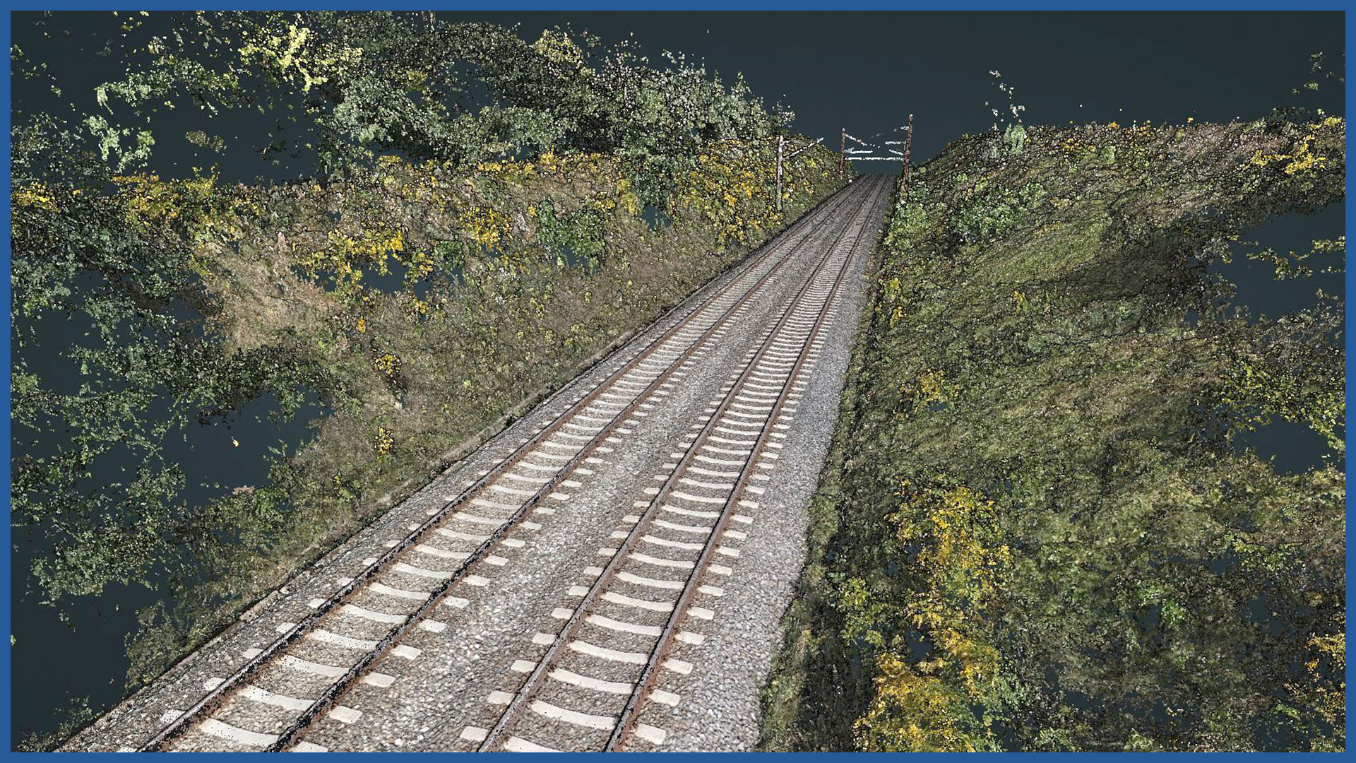
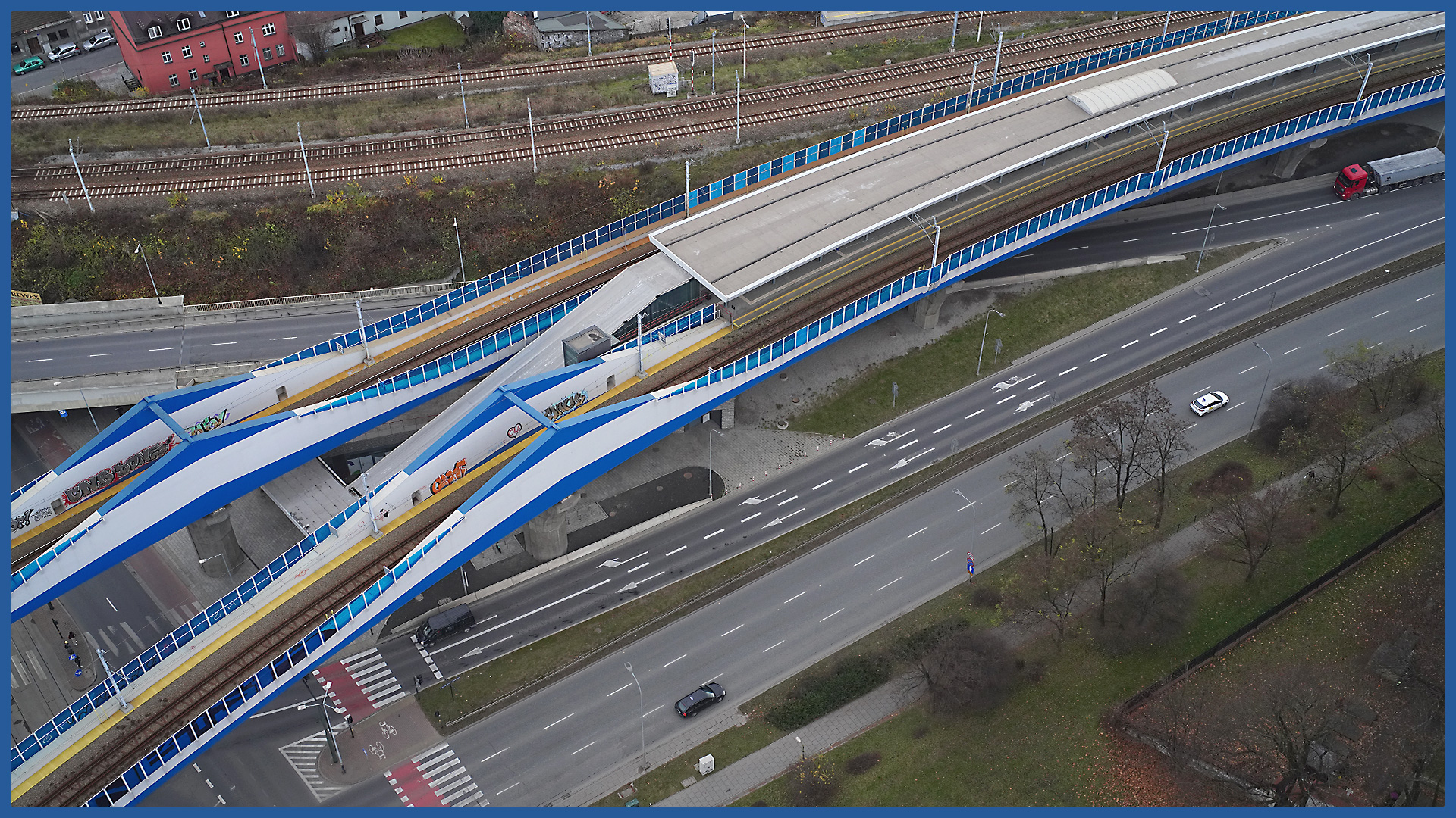
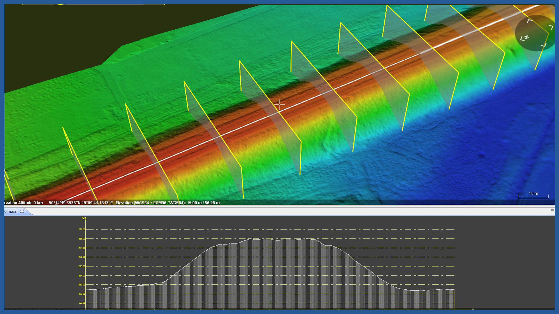
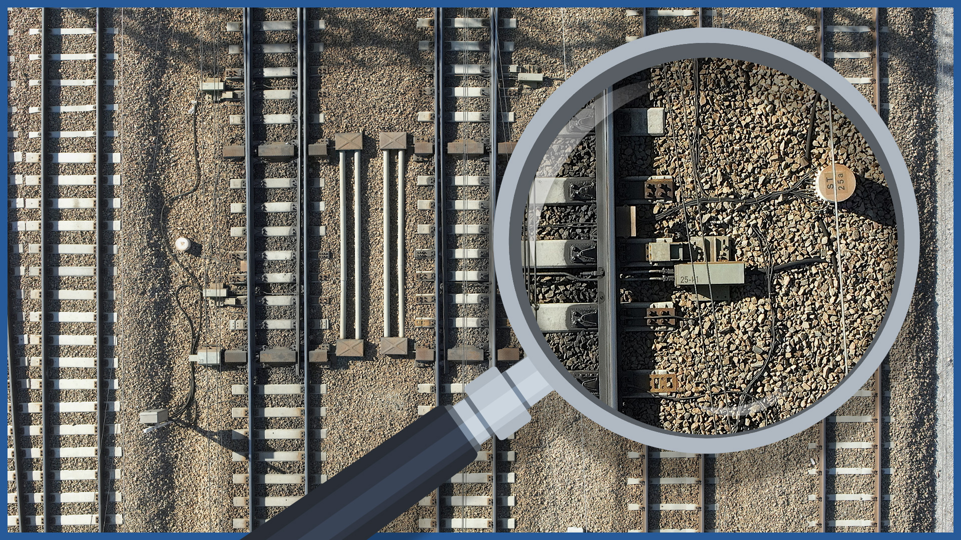
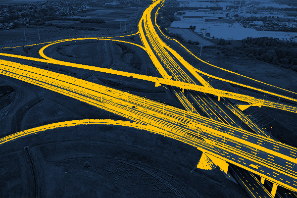
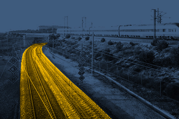
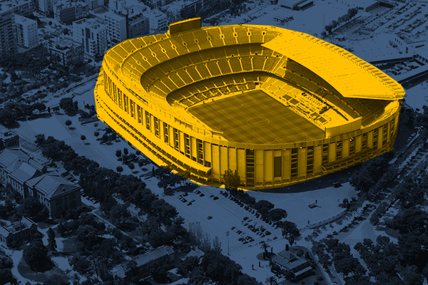
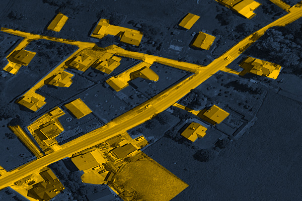
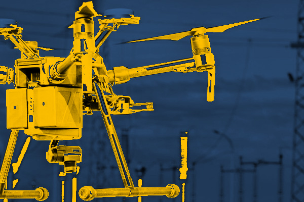
Surveys and products for railroad lines through the use of modern low-altitude aerial techniques allow us to bring a new quality of documentation. We use LIDAR laser scanning and photogrammetric surveys to acquire data on the railroad lines’ terrain, surroundings and supporting infrastructure with high accuracy and full detail.
The technology we use allows us to carry out the measurement and development for large areas in a short period of time, while maintaining the detail. The linear shape of the railroad infrastructure allows us to take full advantage of aerial techniques making them several times more efficient than classical surveying. By measuring from the air we reach places with difficult access, and by using scanning we measure the terrain of areas covered by forest complexes.
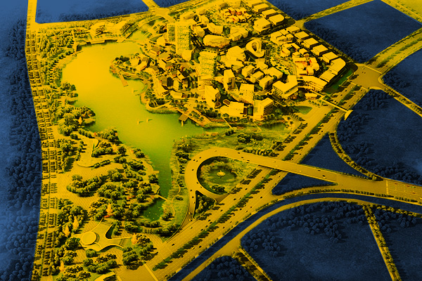
We use specialized software that allows us to process the data we collect. We present and transfer the documentation in the form of spatial models or as traditional 2D imaging. Our studies work with all major design support programs. They can serve at the stage of design, implementation and supervision of the construction process or be a complementary control measurement, as well as an interesting visualization of the state of construction on a given day or a record of the changes taking place.
Technology allows us to maintain high accuracy and avoid errors resulting from generalization.
Select an area of interest:
- high-resolution railway orthophotomaps
- dense point clouds
- digital terrain models
- zero measurement
- high-resolution photo/video documentation to assess the condition of the railroad:
– rails and railroad sleepers
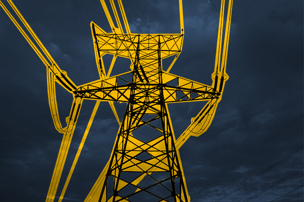
– traction network and surrounding infrastructure
– bridges, viaducts, flyovers, engineering structures
