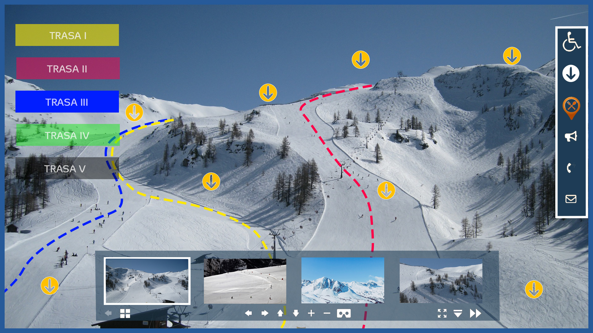
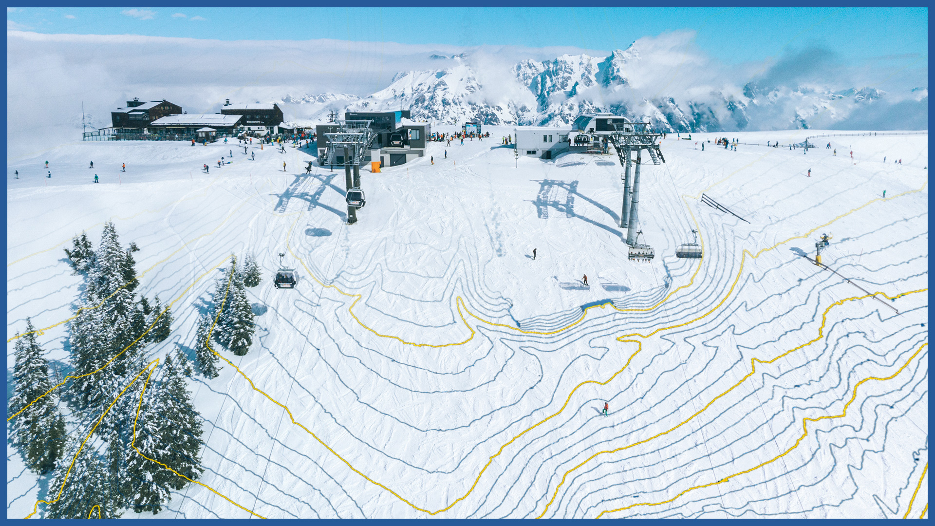
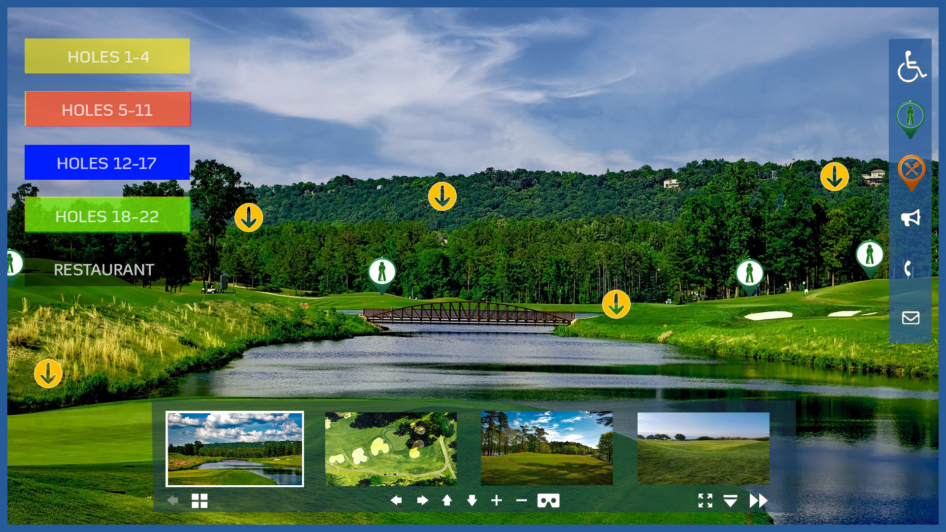
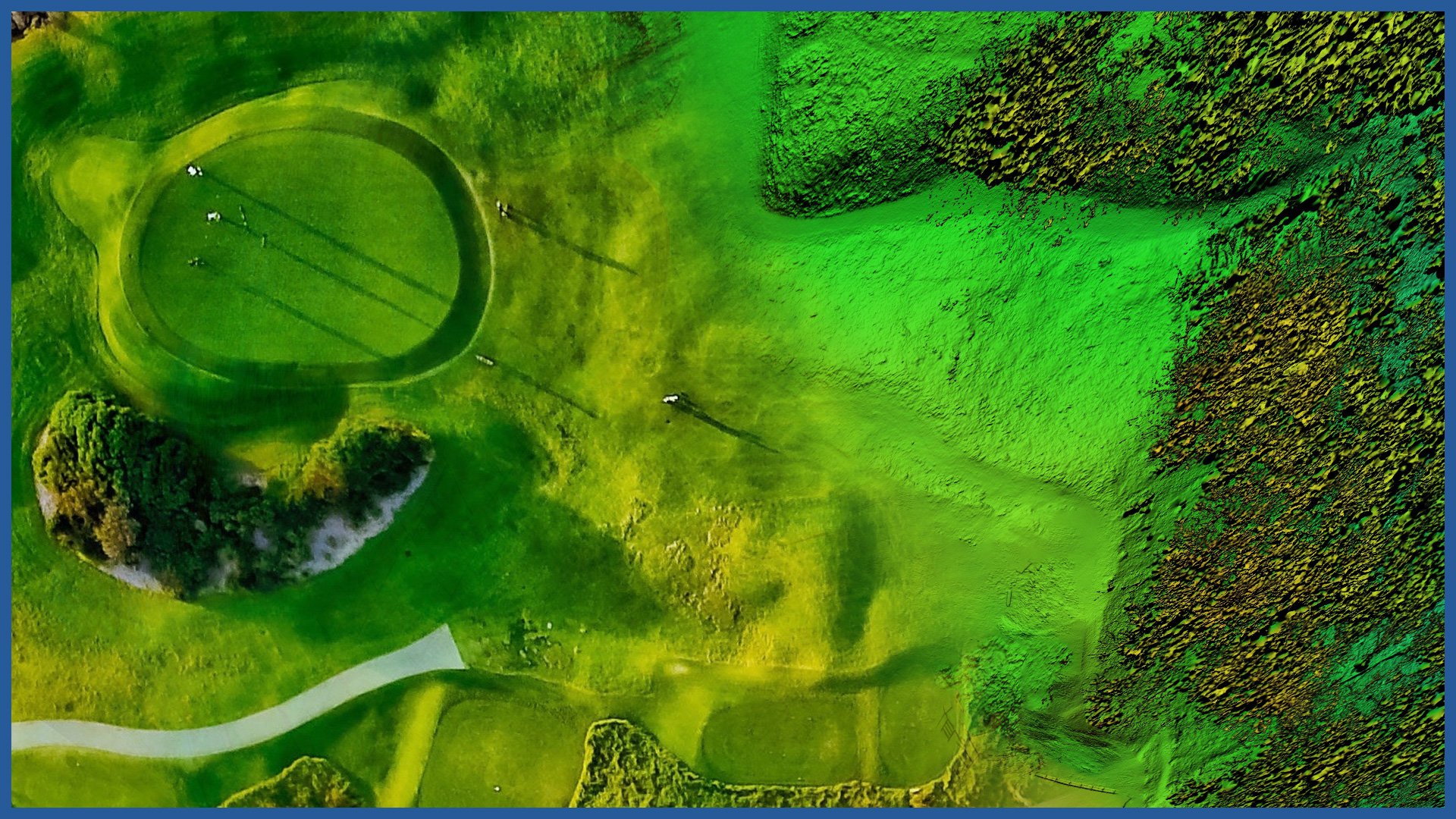
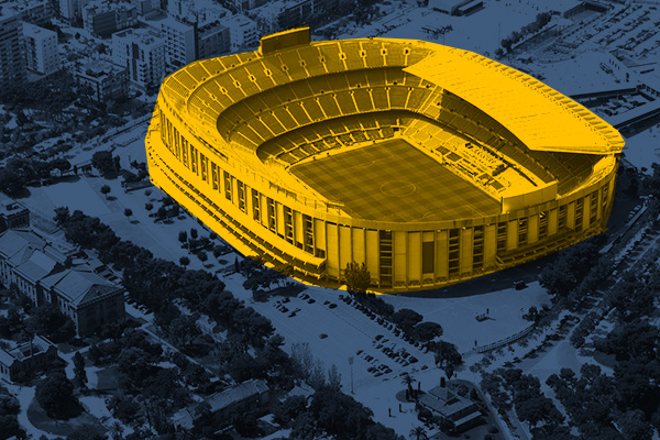
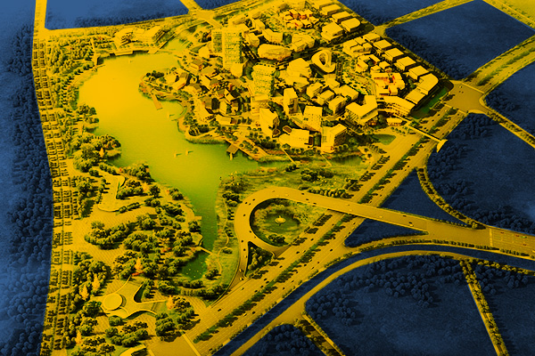
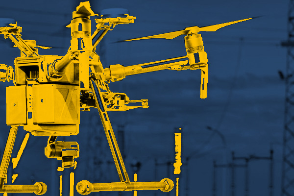
We make modern and interactive presentations of sports facilities, golf courses and ski slopes. Through the use of aerial measurement techniques, we raise the quality of existing studies from a flat two-dimensional space to three-dimensional models. We offer professional presentations of entire objects while maintaining a detailed representation of all details. This exposes all relevant information about the objects, which makes it easier for operators to manage them, but also presents the qualities of the objects to users. In addition to the obvious marketing benefits of such prepared presentations, facility managers will get a range of information (terrain model, orthophotomap, infrastructure inspection, others), which will allow them to better plan the maintenance and modernization of facilities.
INDUSTRIES WE WORK FOR
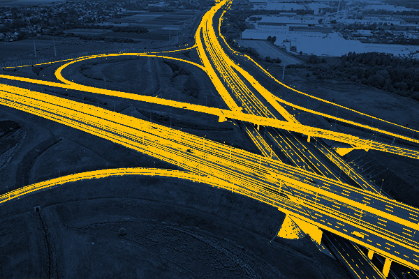
ROAD INFRASTRUCTURE
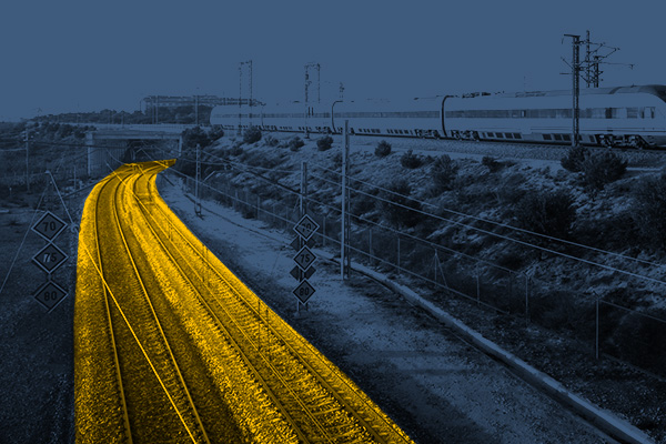
RAILWAY INFRASTRUCTURE
DESIGNING
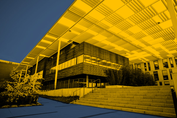
ARCHITECTURE
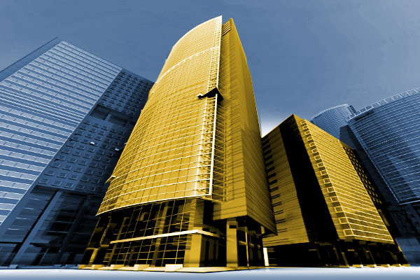
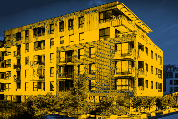
BUILDINGS
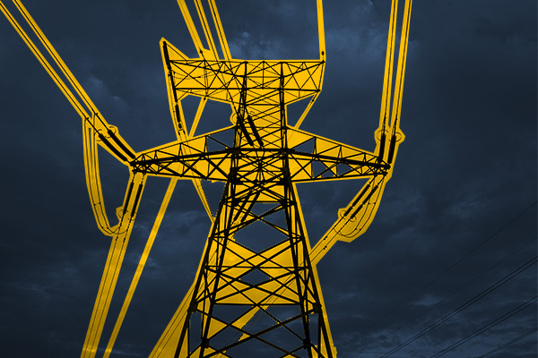
ENERGETICS
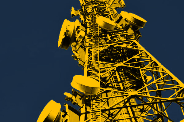
TELECOMMUNICATIONS – MASTS, TOWERS
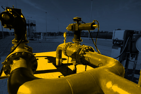
GAS NETWORKS
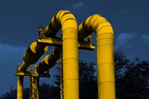
HEAT NETWORKS
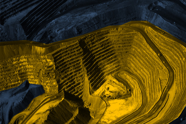
MINES, STOCKPILES, QUARRIES
SPORTS AND RECREATION FACILITIES
REAL ESTATE: INVESTMENT, MANAGEMENT, SUPERVISION
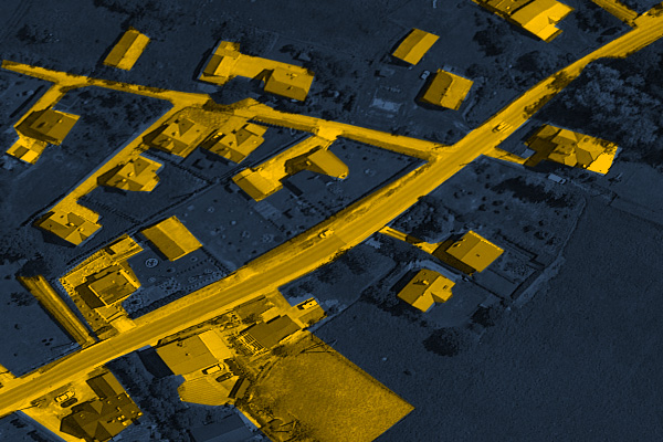
MUNICIPALITIES, TERRITORIAL UNITS
ENVIRONMENT
SPECIALIZED MEASUREMENTS

