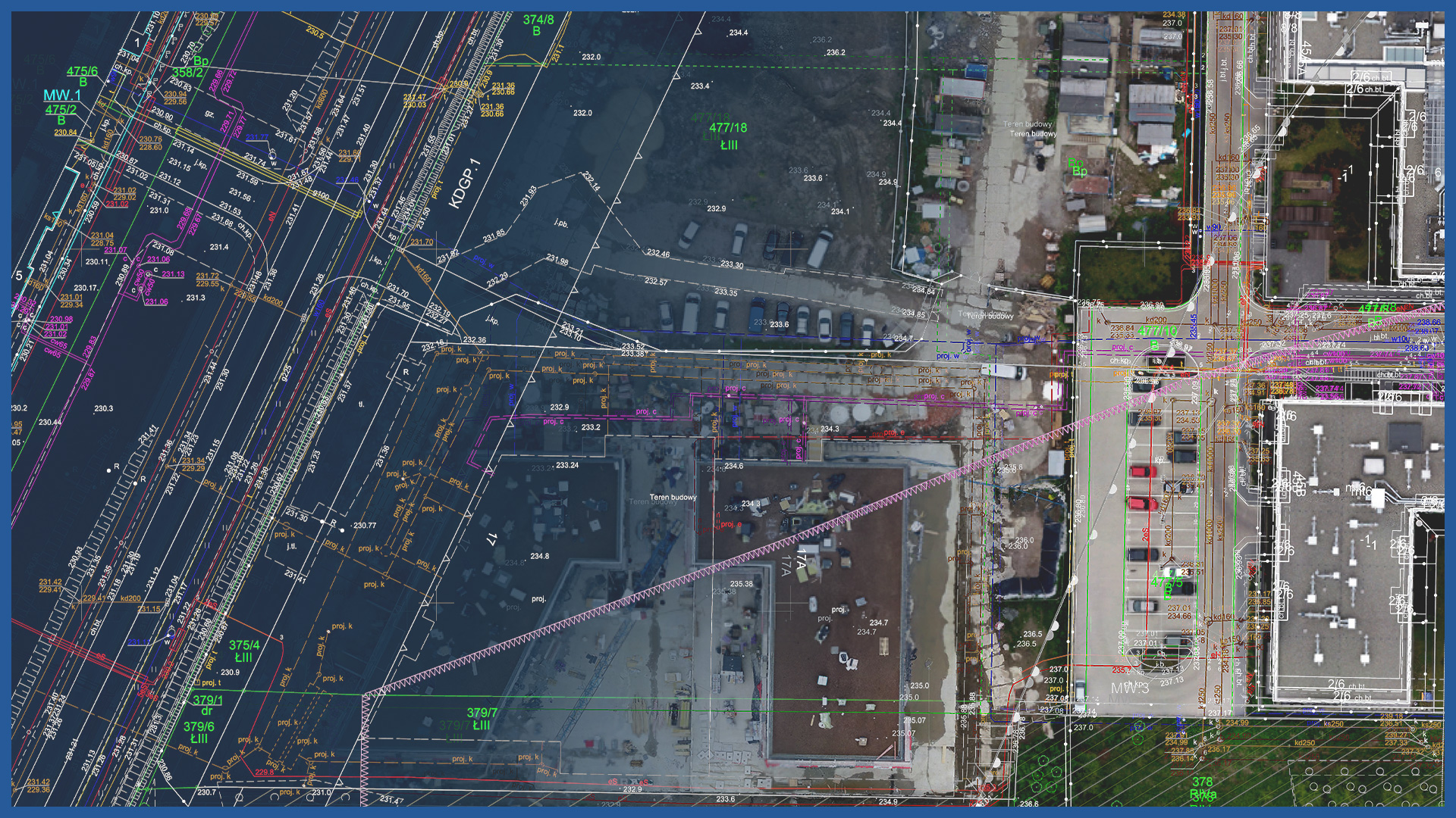
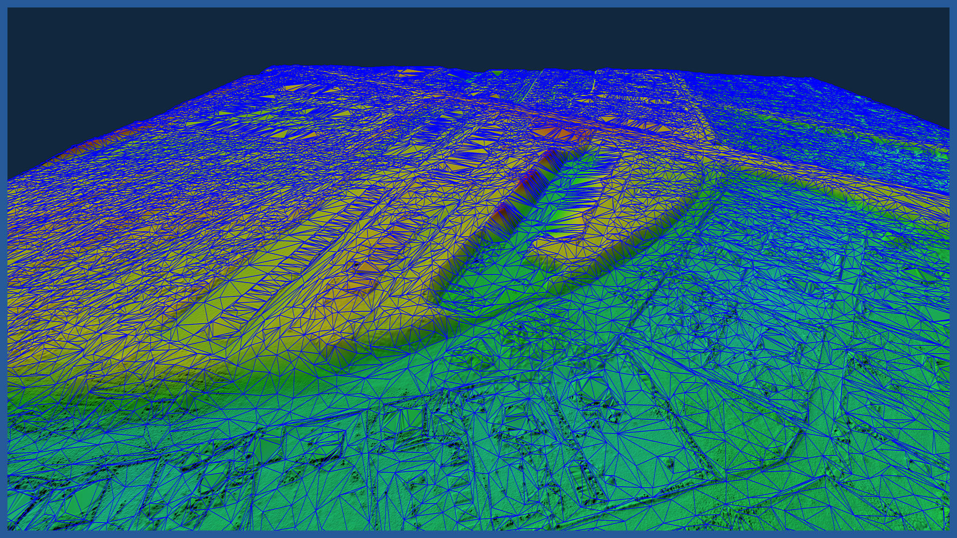
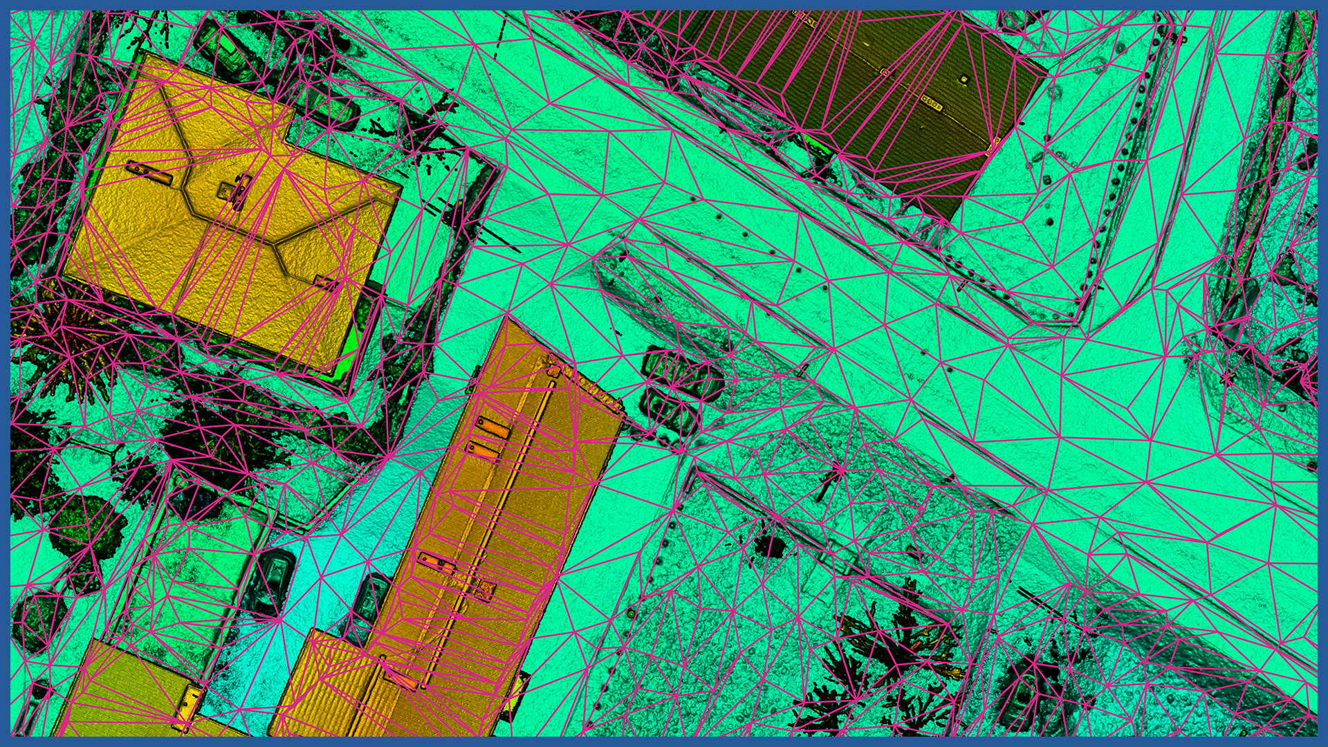
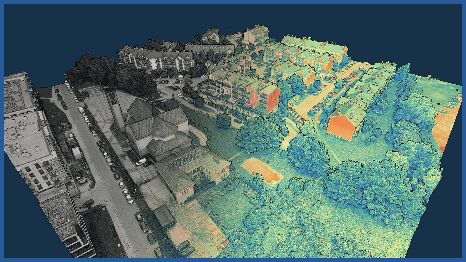
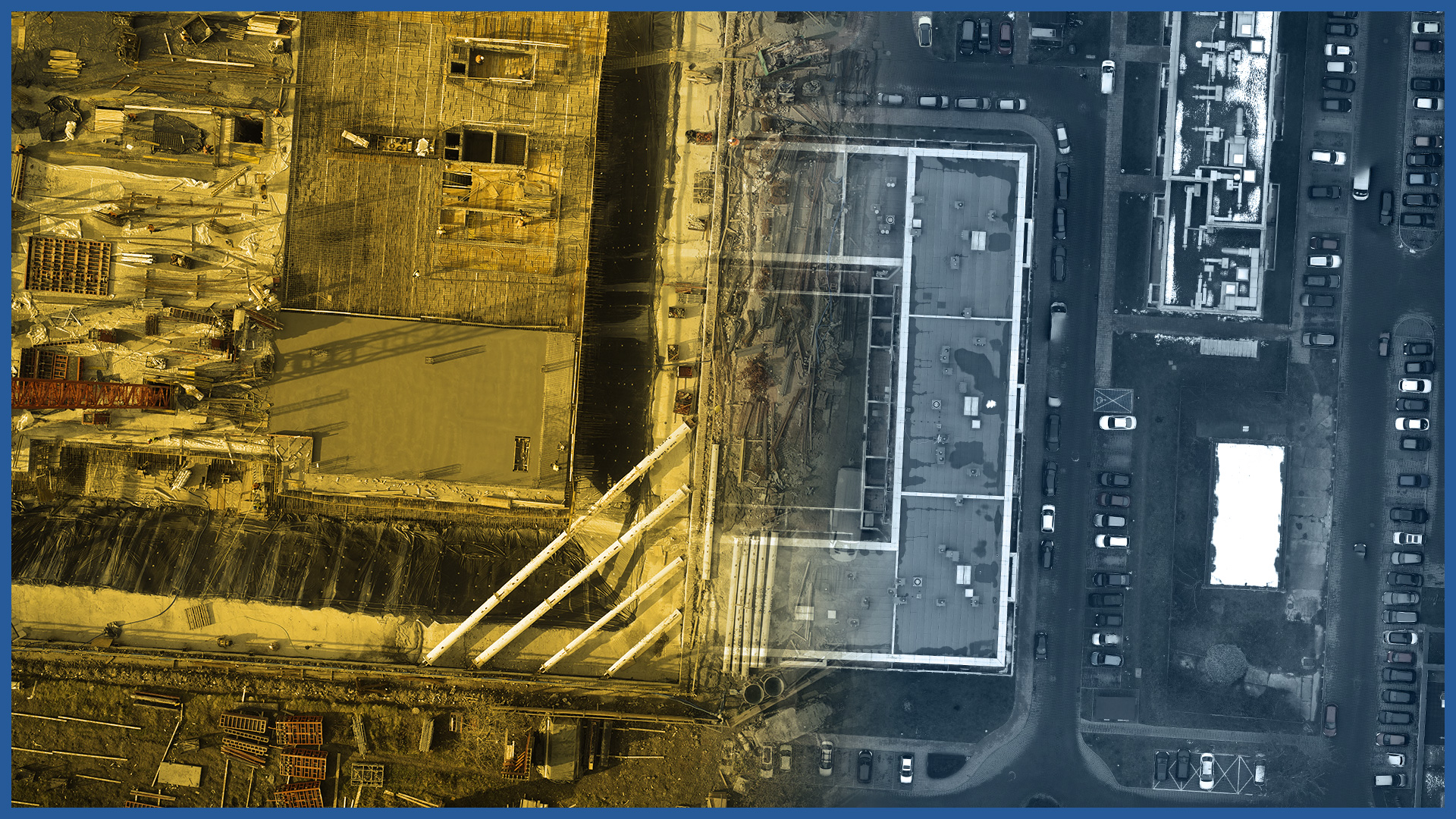
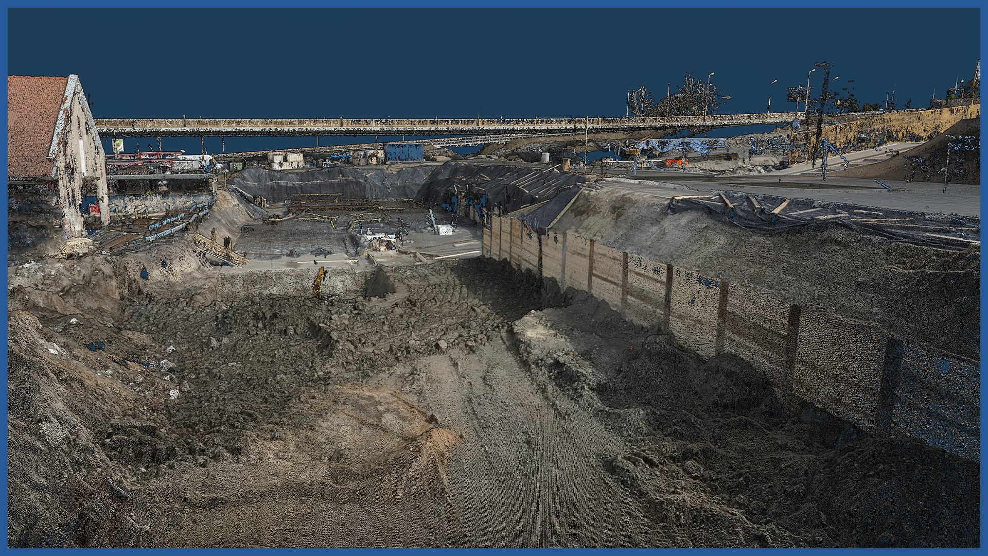
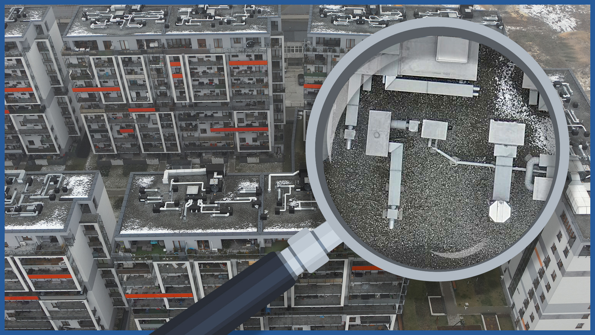
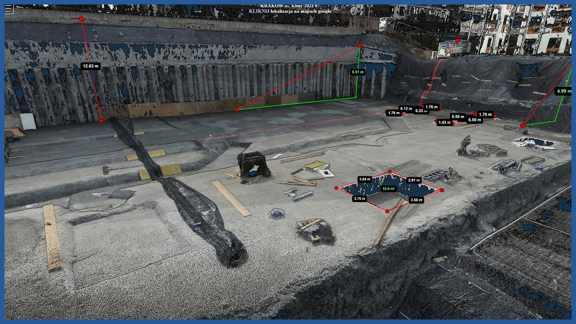
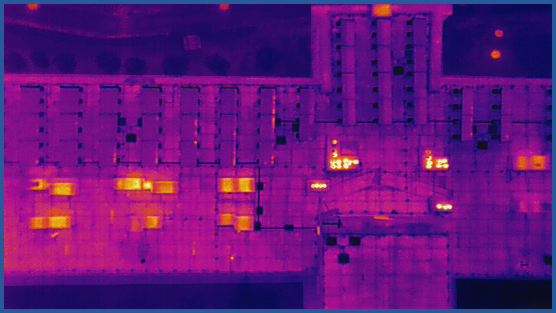
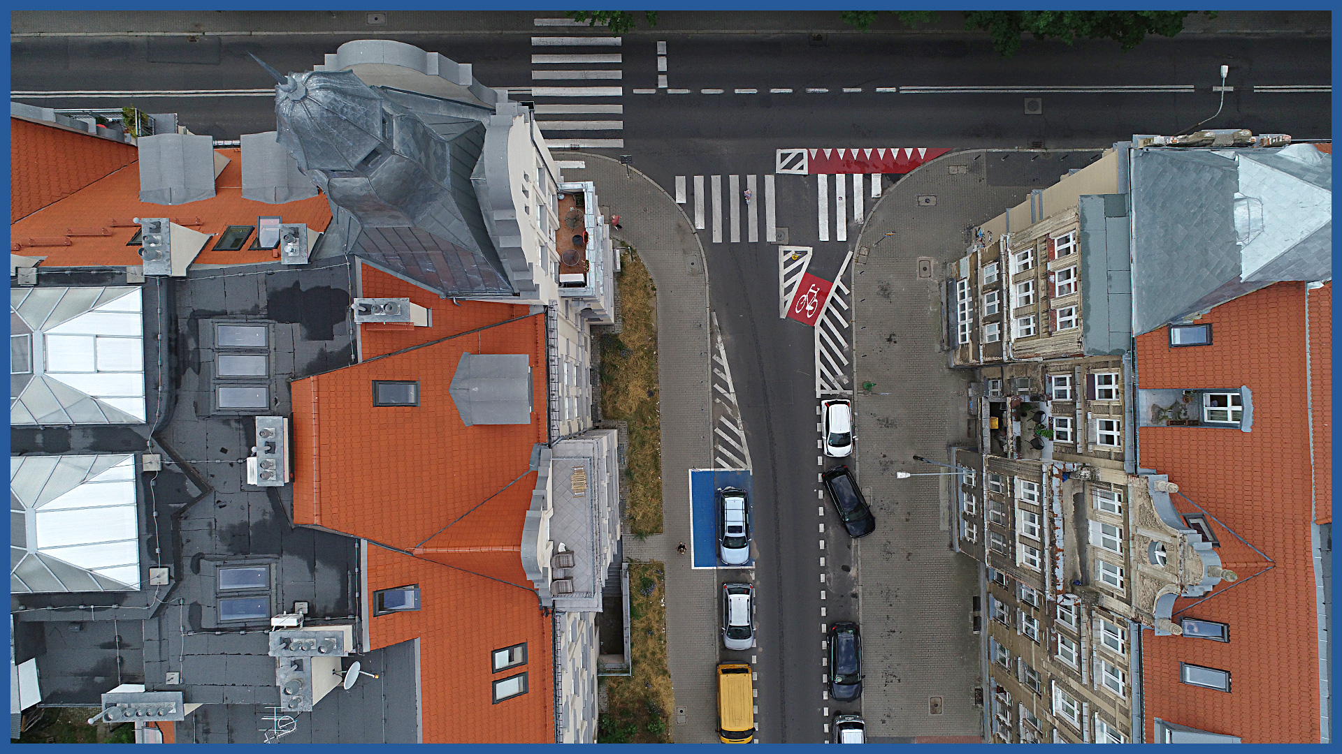
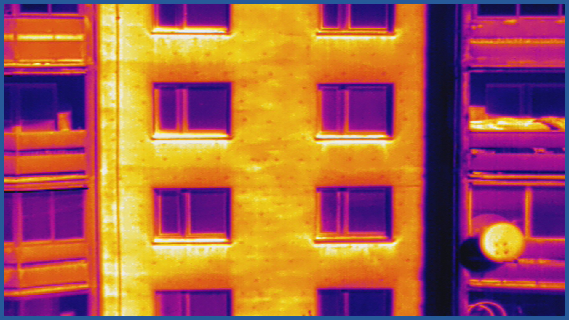
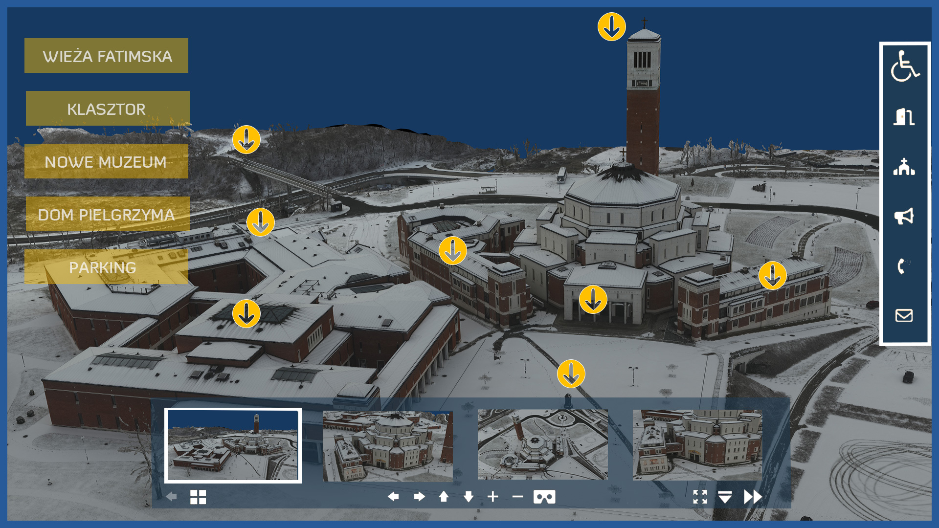
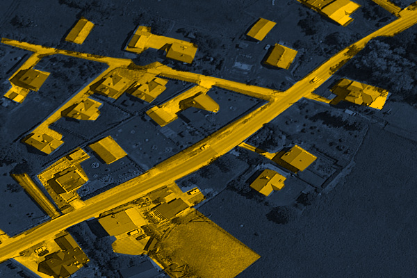
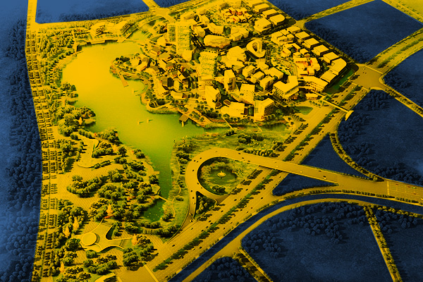
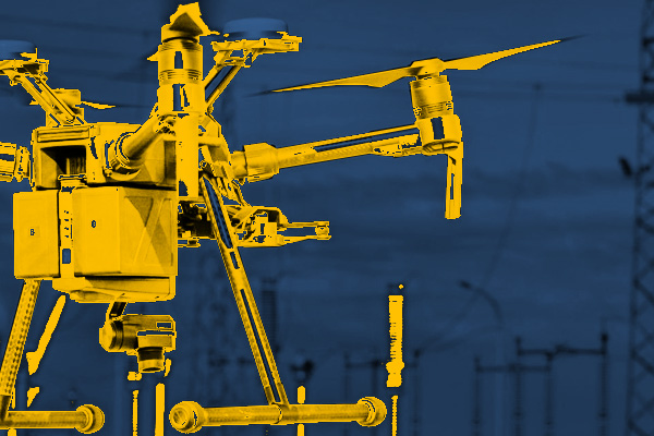
The latest aerial technology we use (laser scanning, low-altitude photogrammetry) allows us to create very detailed and accurate studies and visualizations for settlements, buildings or new development sites. 3D models, orthophotos, point clouds not only provide an effective color image, but due to georeferencing can be supplemented with vector data (e.g. from the real estate cadastre), and provide the possibility to carry out many spatial analyses. Our products are used in real estate marketing and management, at the stage of investment preparation, marketing and sales, supervision of the construction process, as well as subsequent operation. Therefore, they can be used for marketing purposes, but also to document the current state of objects and their surroundings on a given day, and with periodic measurements to be a diary recording changes over time.
INDUSTRIES WE WORK FOR
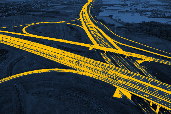
ROAD INFRASTRUCTURE
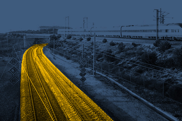
RAILWAY INFRASTRUCTURE
DESIGNING
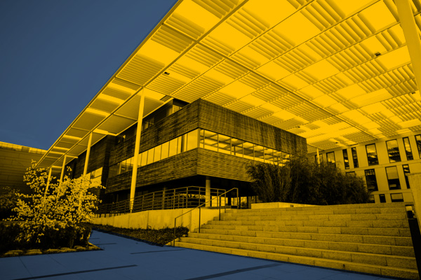
ARCHITECTURE
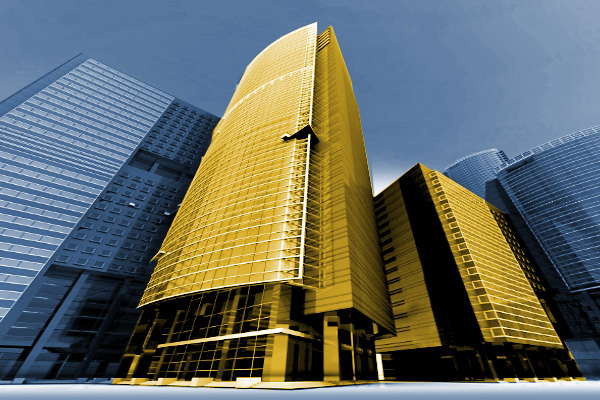
BUILDINGS
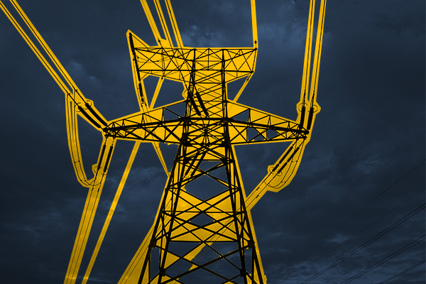
ENERGETICS
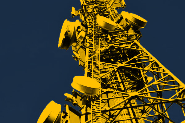
TELECOMMUNICATIONS – MASTS, TOWERS
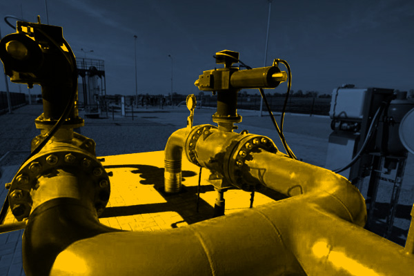
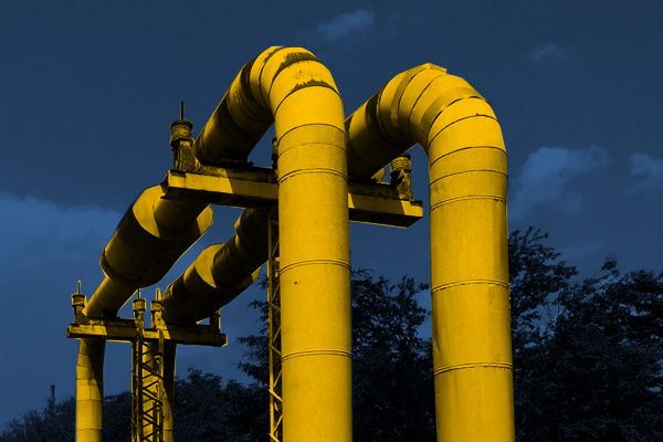
GAS NETWORKS
HEAT NETWORKS
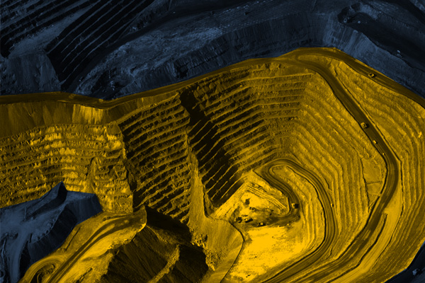
MINES, STOCKPILES, QUARRIES
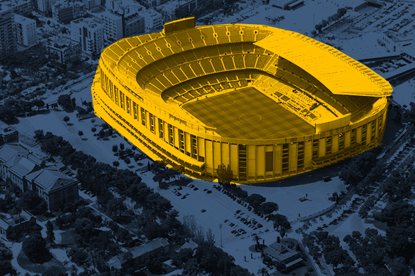
SPORTS AND RECREATION FACILITIES
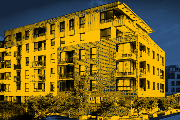
REAL ESTATE: INVESTMENT, MANAGEMENT, SUPERVISION
MUNICIPALITIES, TERRITORIAL UNITS
ENVIRONMENT
SPECIALIZED MEASUREMENTS

