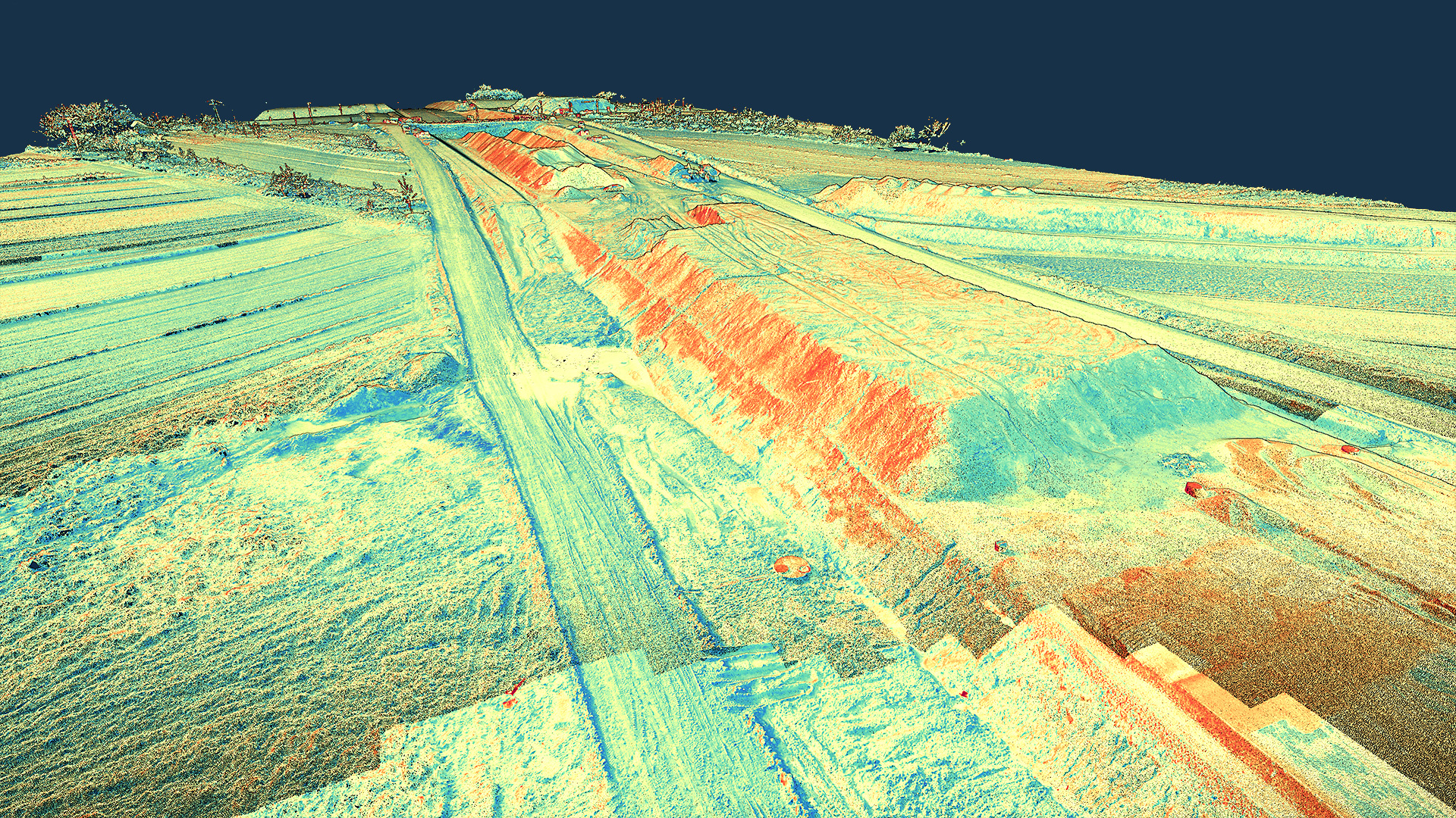
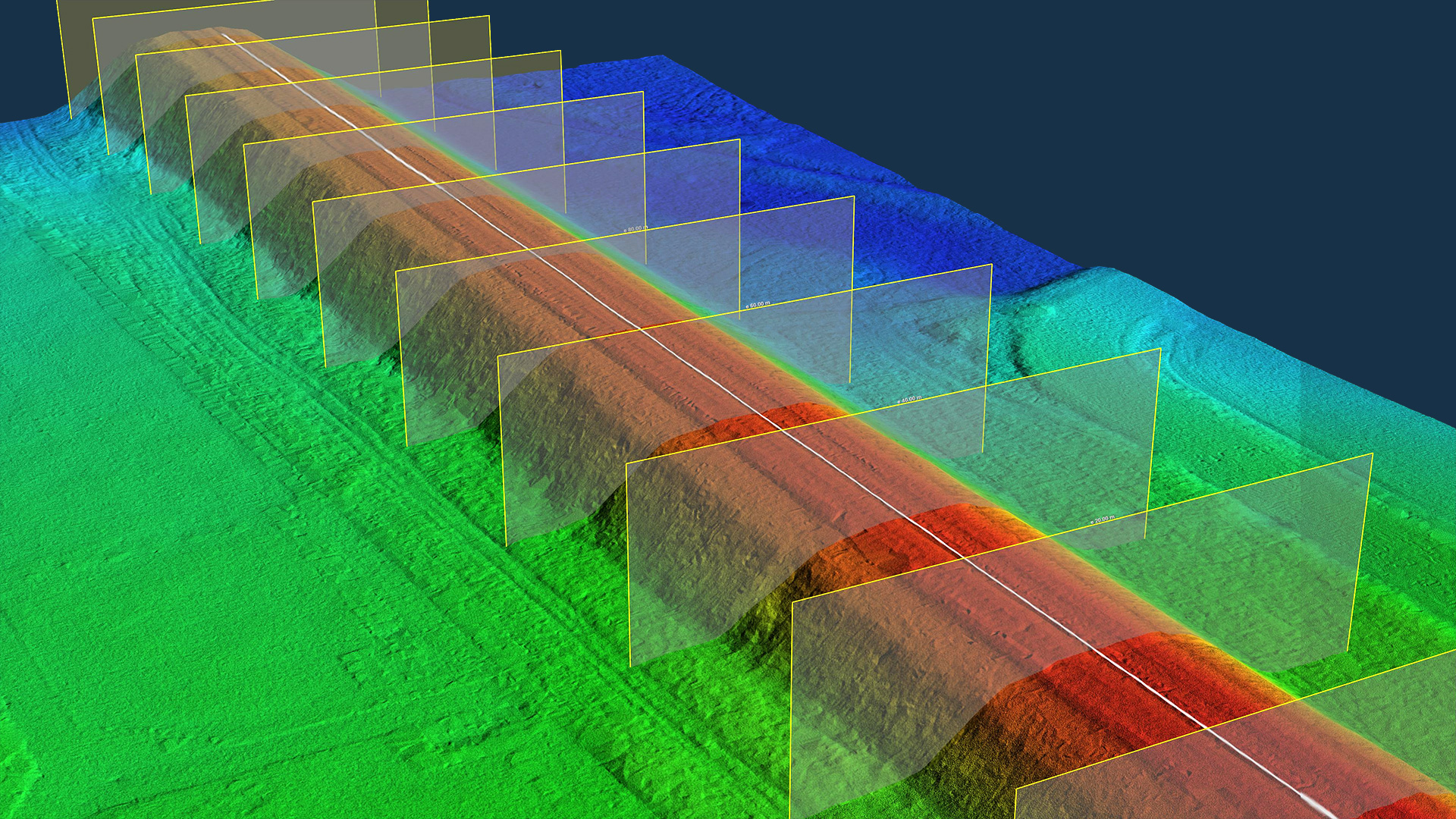
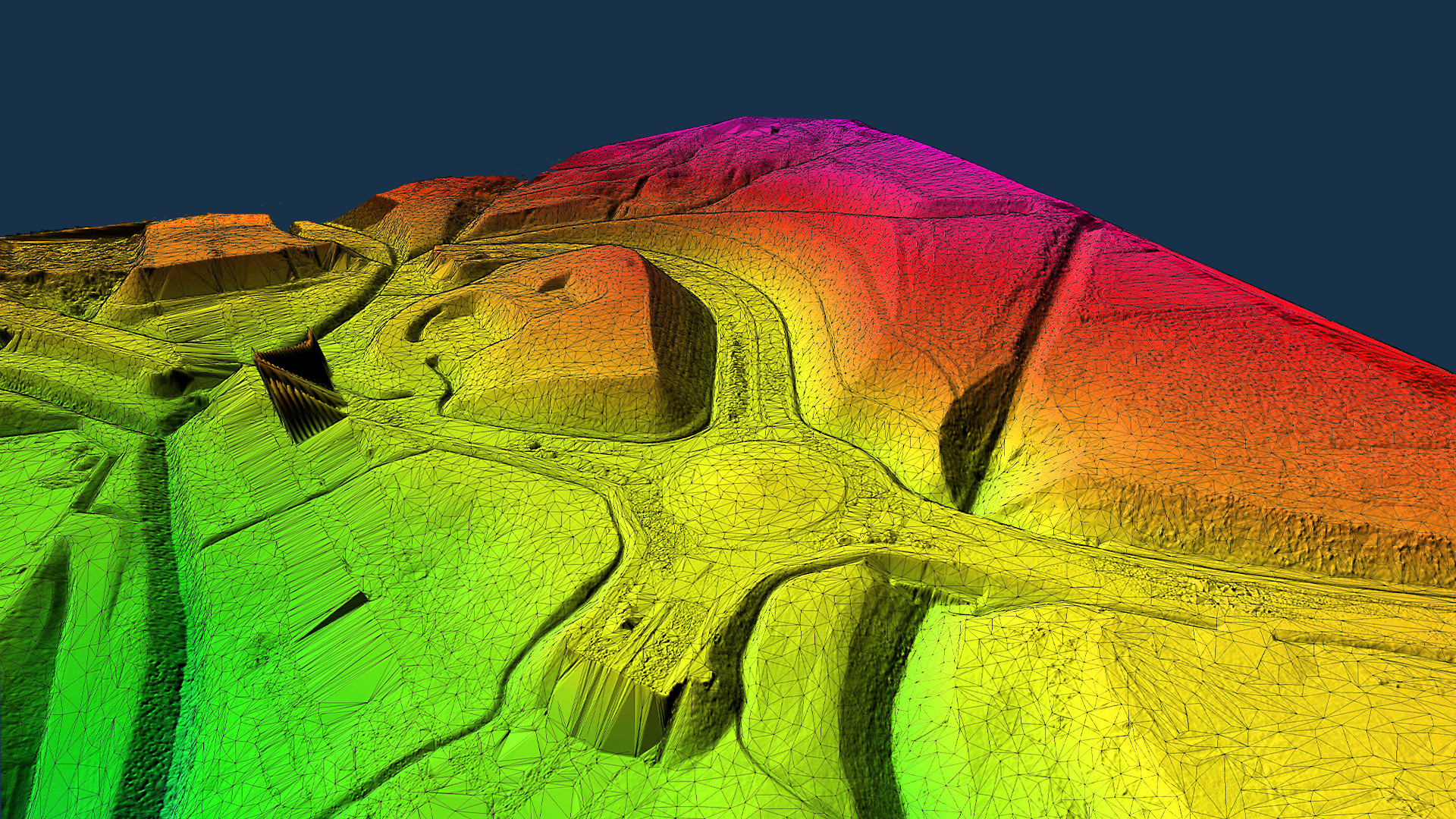
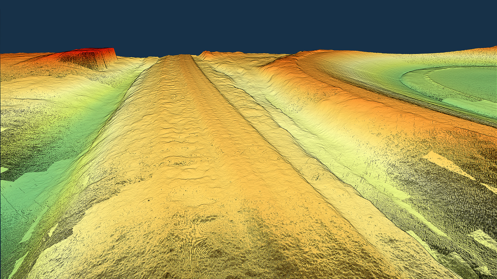
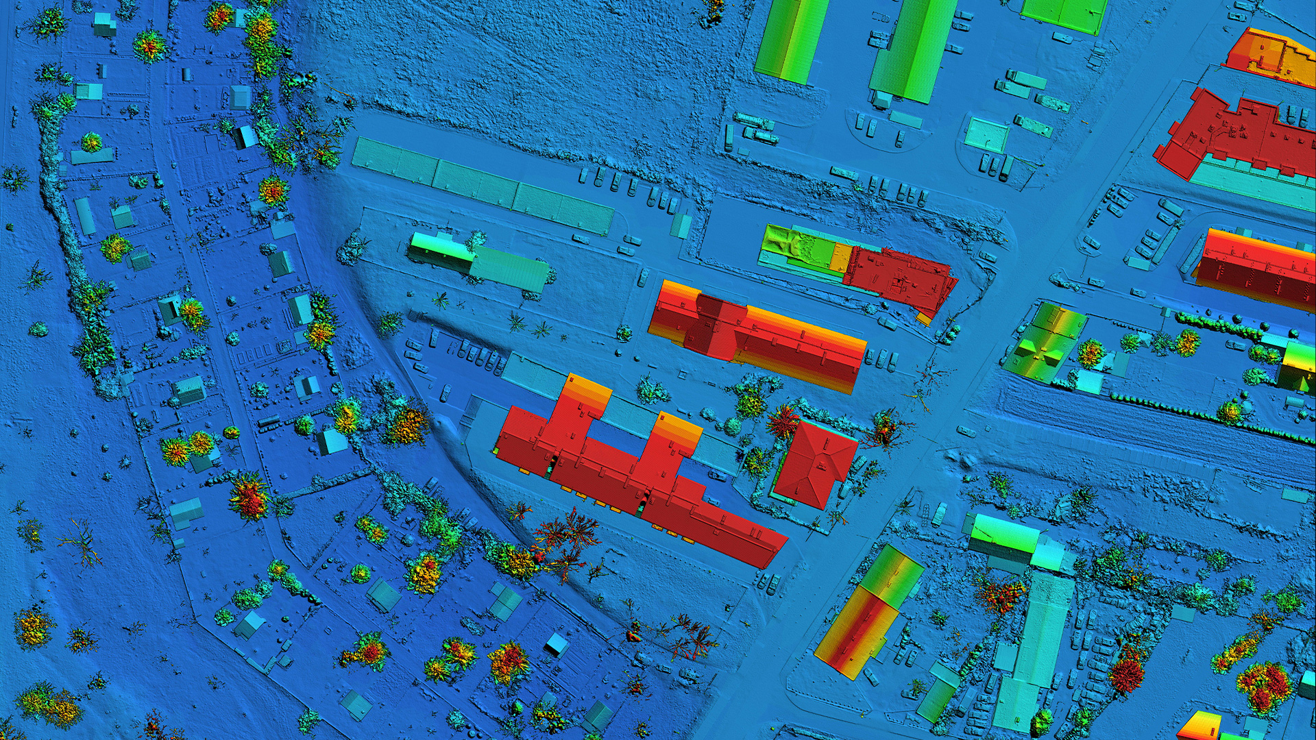
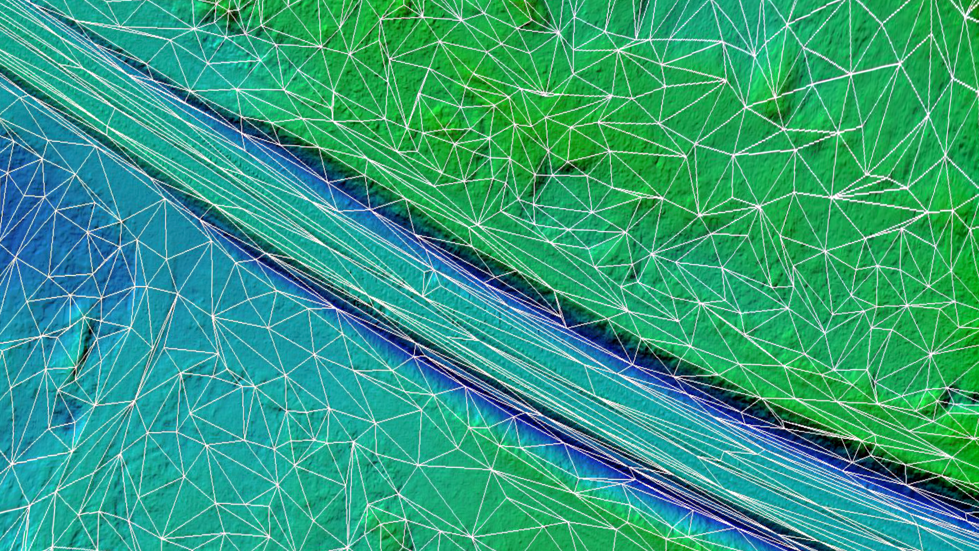
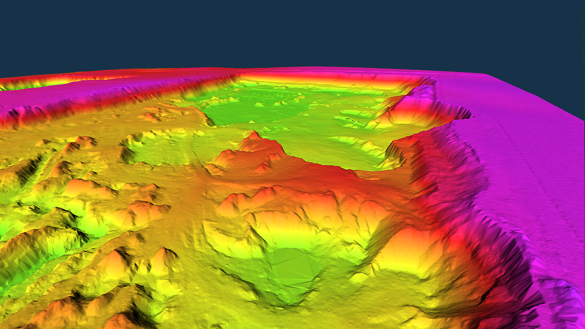
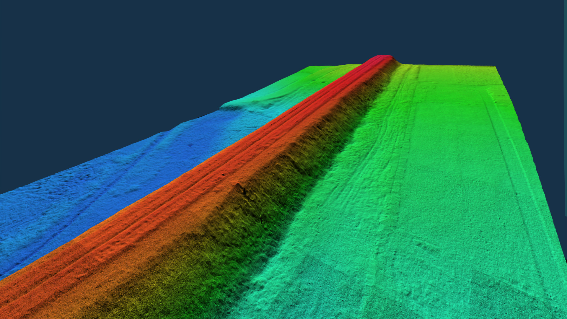
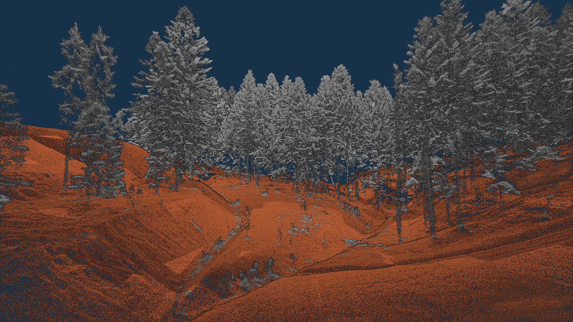
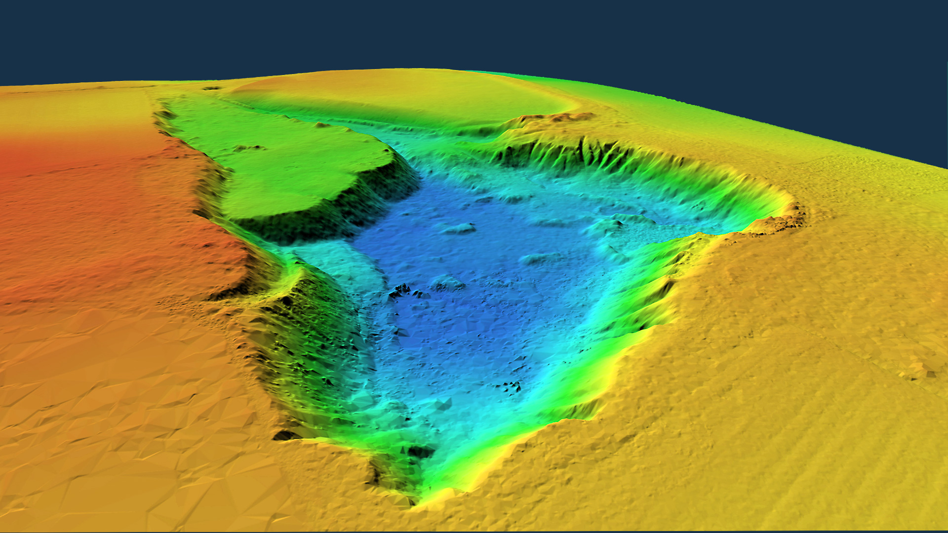
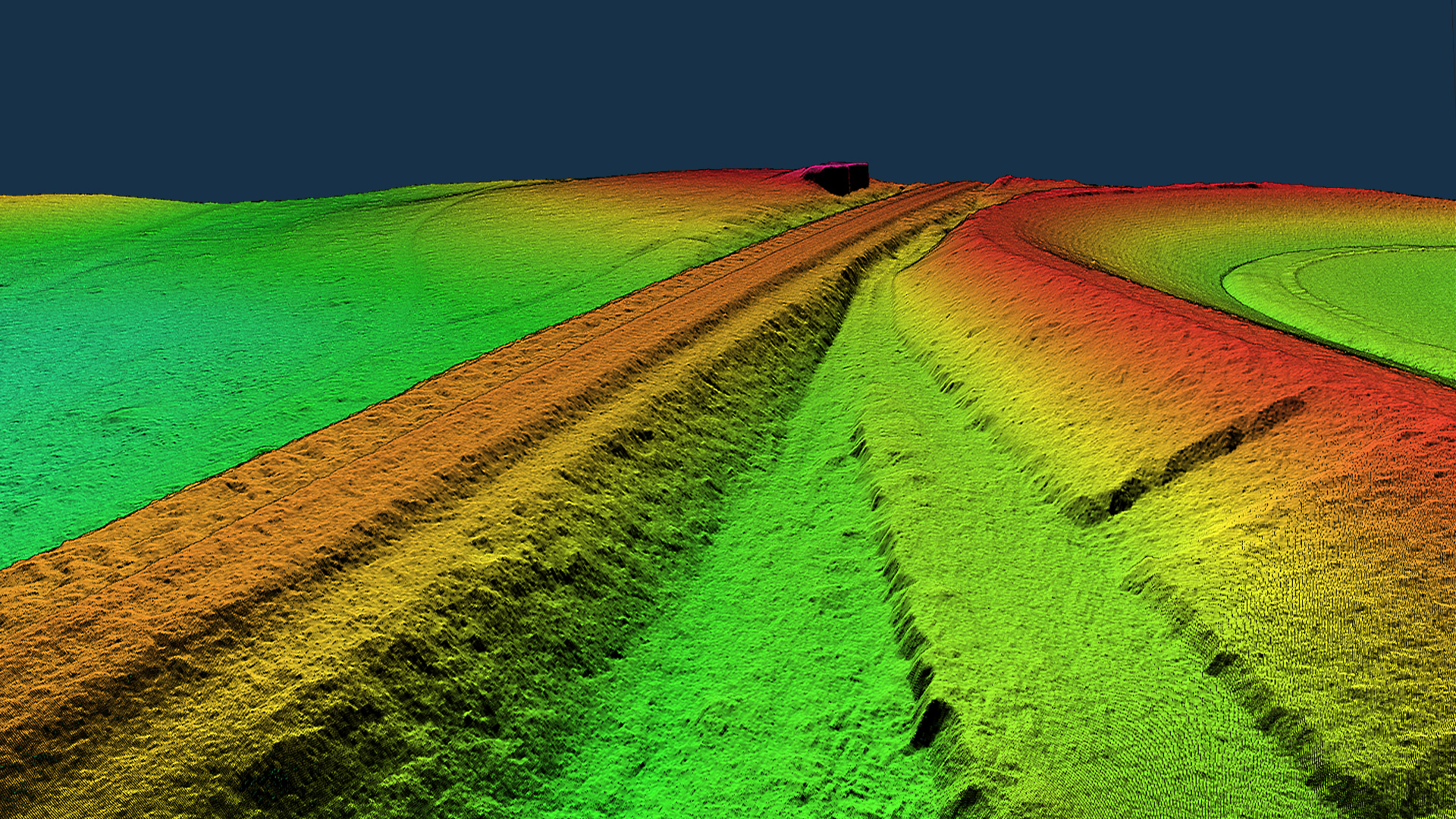
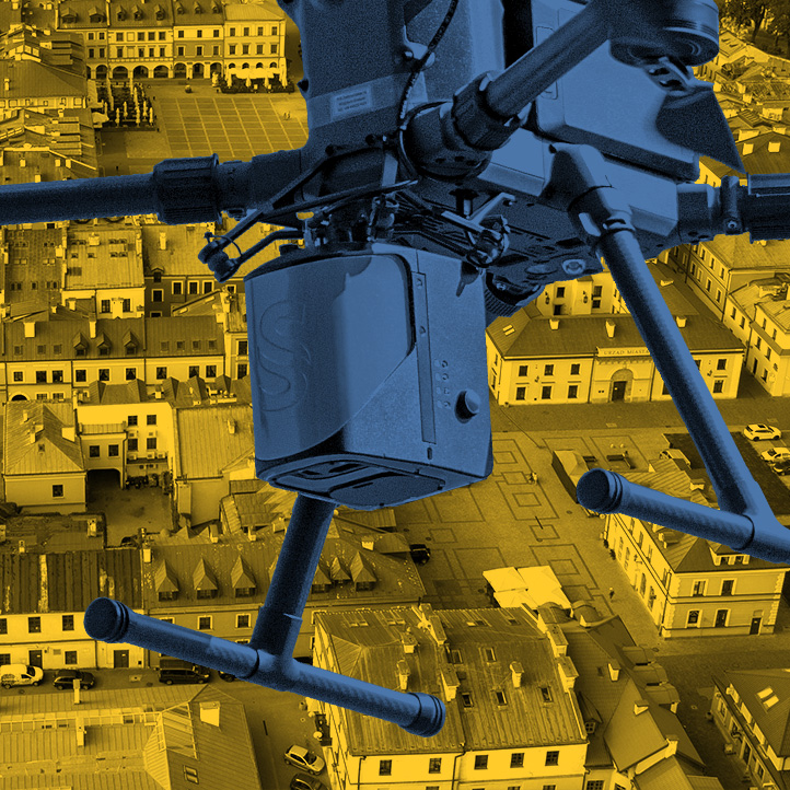
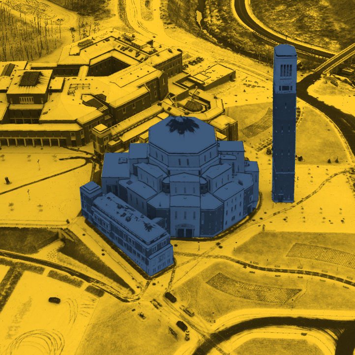
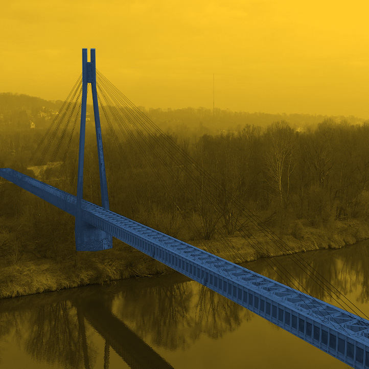
A Digital Terrain Model (DTM) is a numerical representation of the terrain surface relief that allows determining the elevation of any point with known XY coordinates and reconstructing the shape of the terrain surface. The model contains information about the topological relationships connecting individual points in the terrain. A Digital Surface Modet (DSM) is a numerical representation of the land surface along with objects projecting above that surface, such as buildings, trees, bridges, overpasses and other infrastructure elements. We create digital terrain models using the most modern method of acquiring survey data: low-altitude airborne laser scanning with unmanned aerial vehicles. A high-end scanner captures terrain with high accuracy and detail. The density of points from laser scanning is several hundred points per square meter, and the accuracy does not differ from that obtained by traditional measurement methods We filter and classify the acquired dense point cloud using specialized software, and then generate a precise terrain model. Thanks to the aerial scanning, we are able to measure the area of land covered by trees, shrubbery, agricultural crops. Models are most often created as: and present as: The LIDAR scanning technology we use ensures the speed of creating an up-to-date terrain model for large areas and for linear objects. The short time of data acquisition and processing makes it possible to perform measurements cyclically and obtain a whole range of comparative analyses, including the volume of changes. We use unmanned aircraft equipped with RTK modules, so our measurement is accurate. The accuracy achieved does not differ from that provided by traditional measurement. The density of points from laser scanning is several hundred points per square meter, making the terrain model devoid of the generalization found in classical surveying. The three-dimensional model reflects all irregular surfaces and shapes. The data format of our products allows it to be implemented in all major design software (CAD and GIS). It is possible to automatically generate cross sections and profiles, calculate volumes in relation to the layers of the designed area. Numerical terrain models with the accuracy and resolution we offer find applications in many industries. Primary applications: The examples shown are only part of the model applications. More applications are presented on our site in specific industries. DIGITAL TERRAIN MODEL DIGITAL TERRAIN MODELWhat is Digital Terrain Model?
Advantages of technology
Primary applications
INTERACTIVE VISUALIZATION
EXAMPLES OF APPLICATIONS
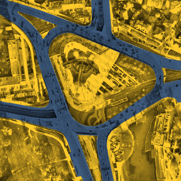
3D imaging of the land surface reflecting all irregular surfaces in the design of road infrastructure.
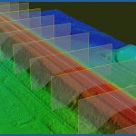
Controlling earthworks during the railway construction process.
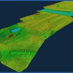
Digital terrain model for transmission network design.
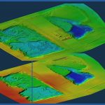
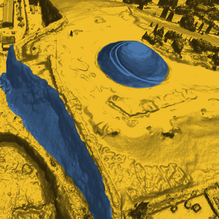
Cyclic measurements of volume changes using digital terrain models.

