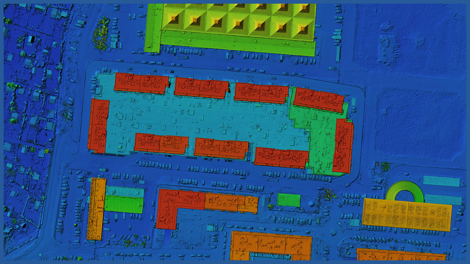
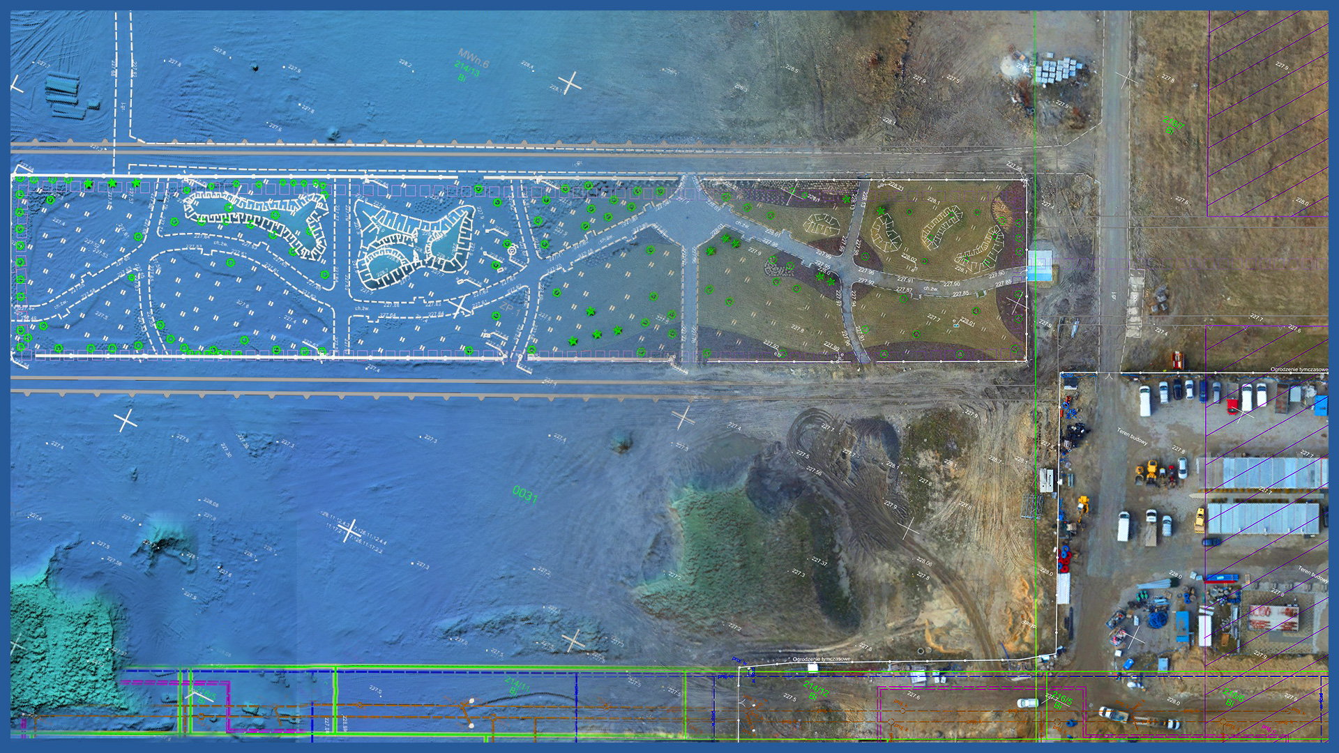
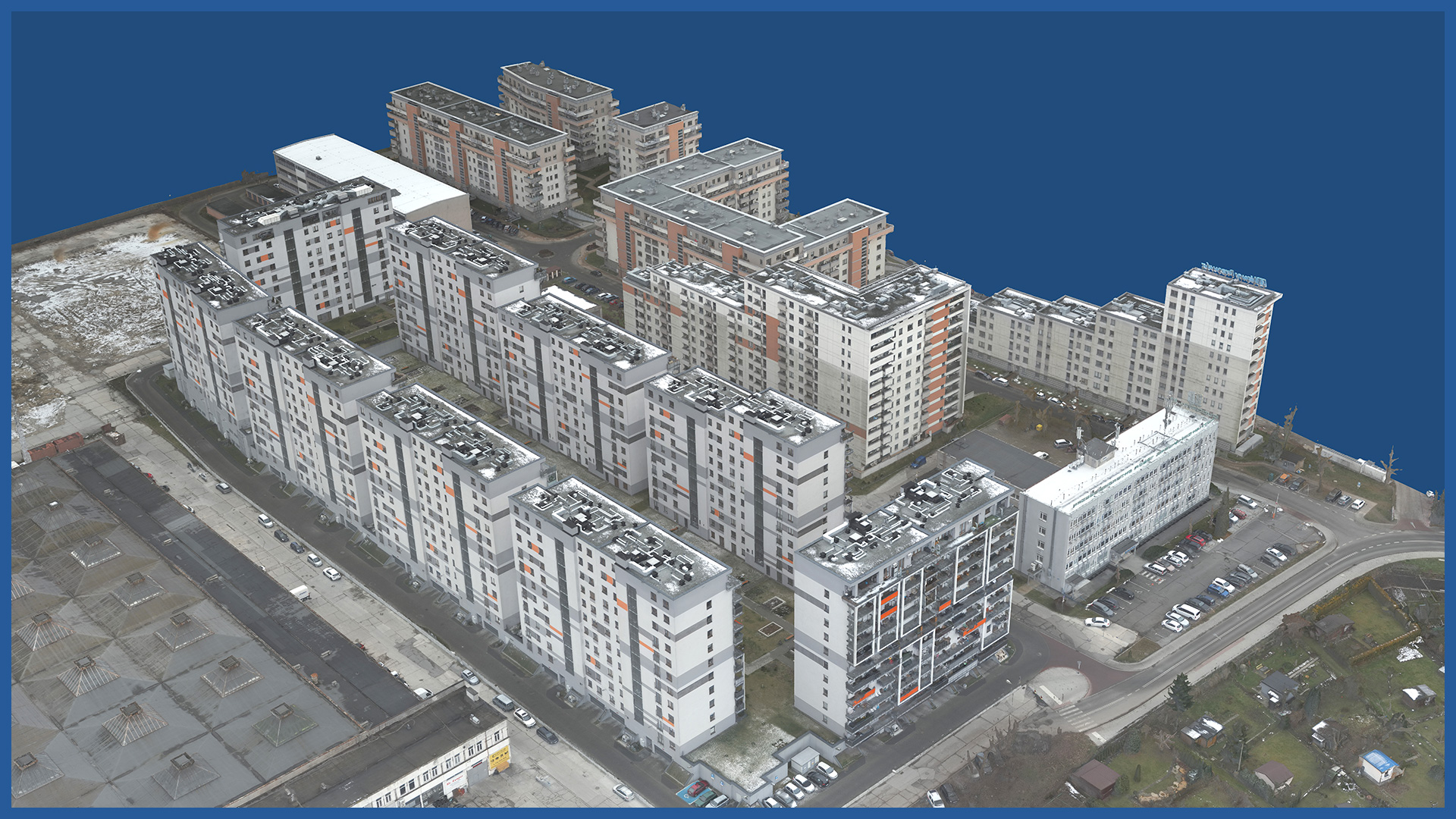
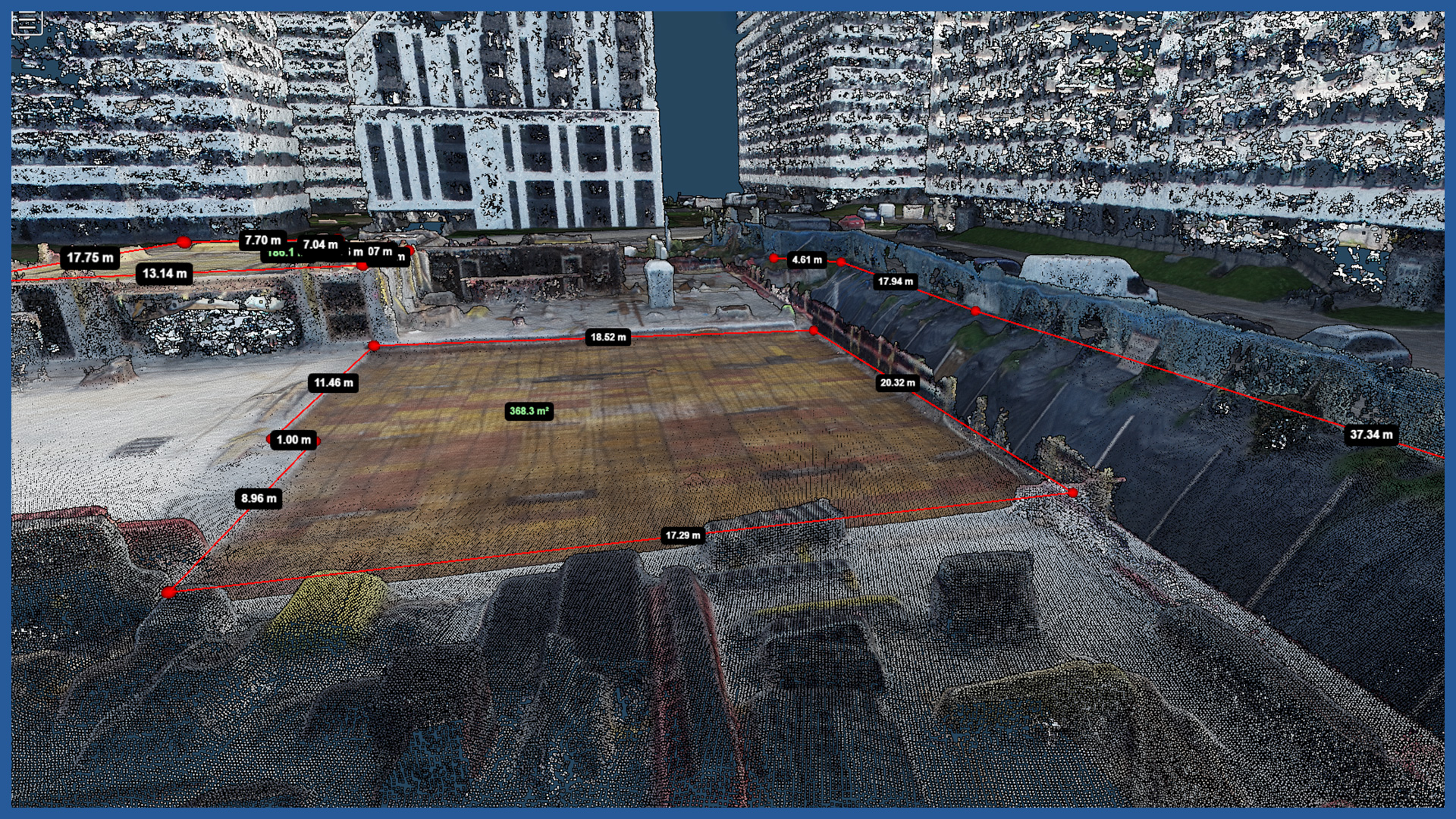
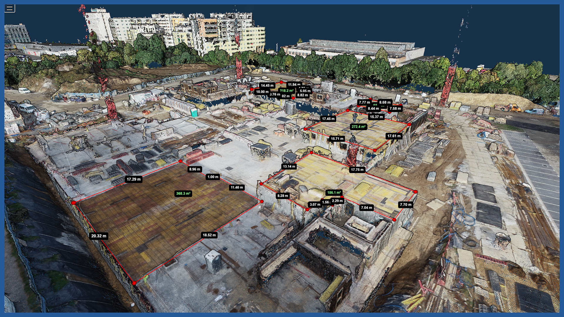
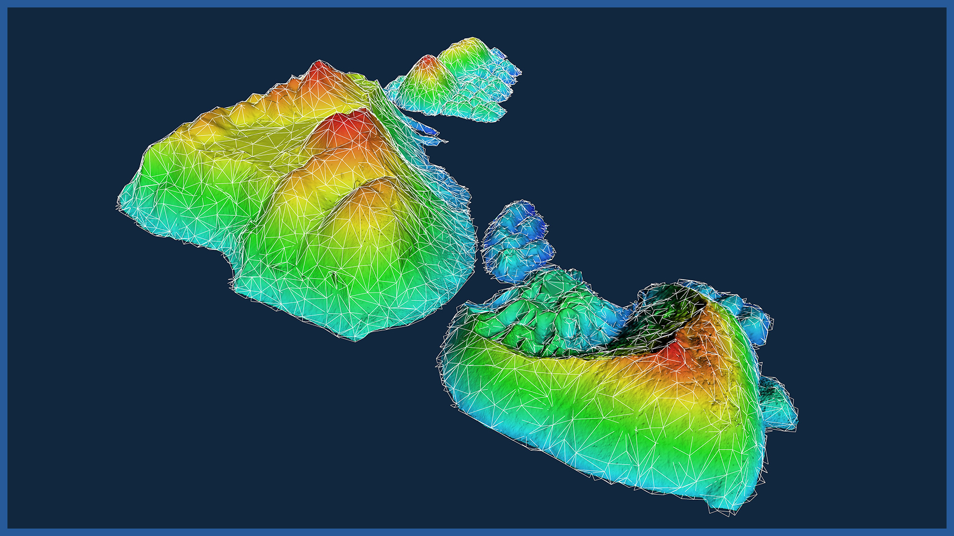
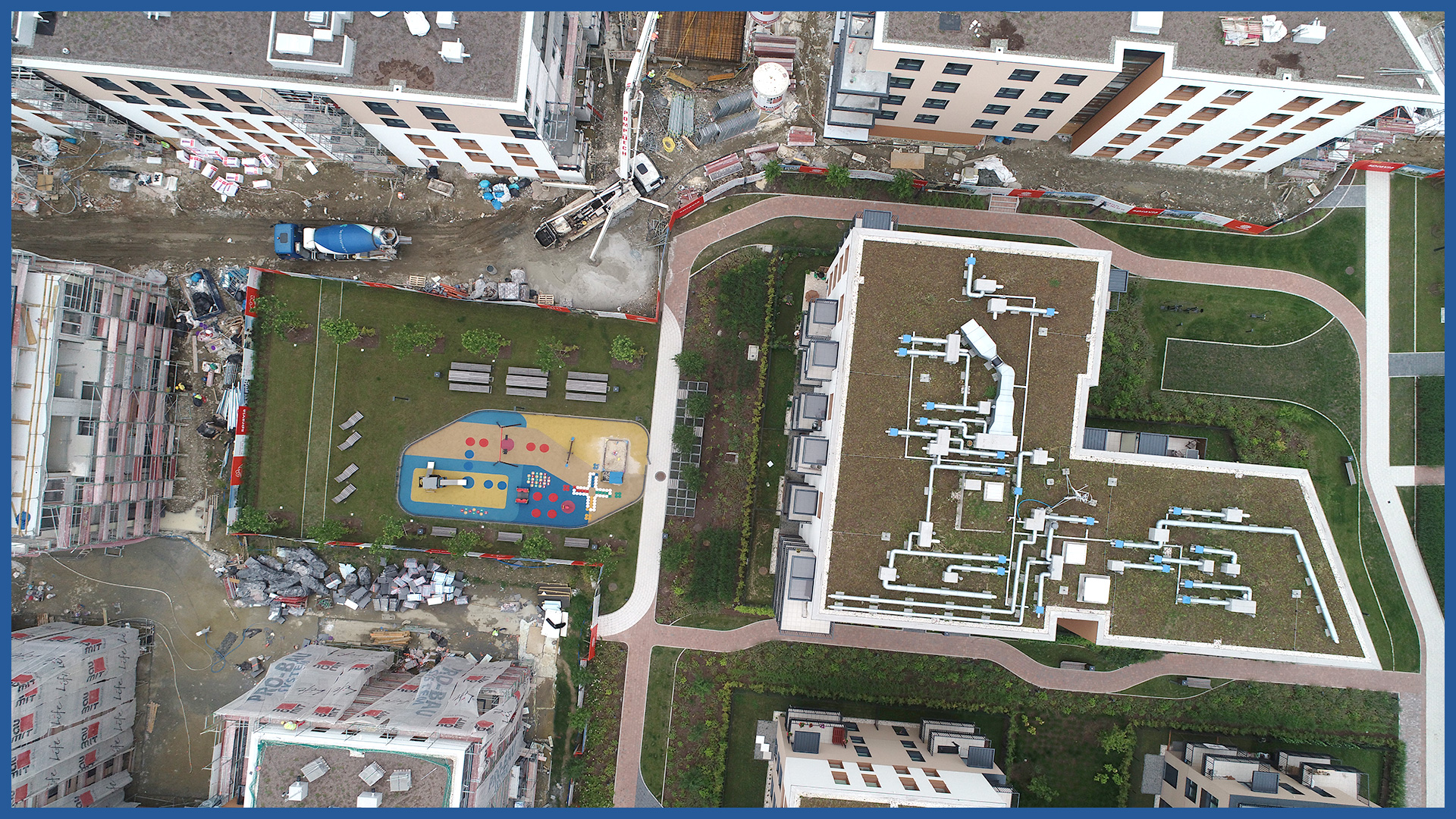
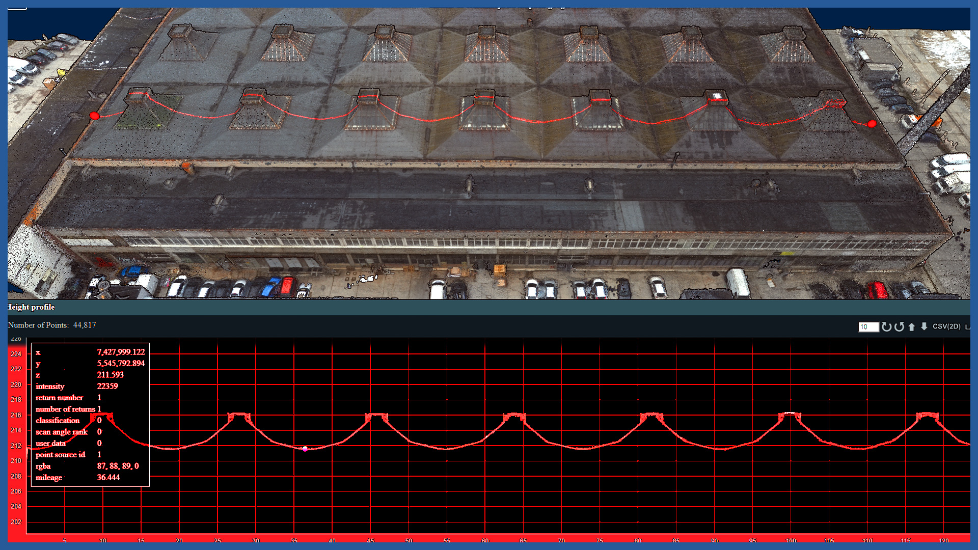
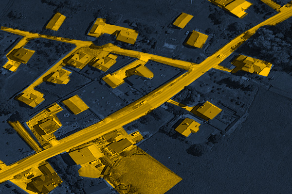
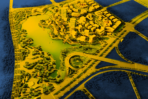
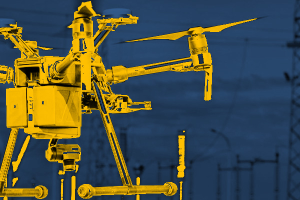
Our measurements and studies, thanks to the use of modern low-altitude aerial techniques, give a new quality of documentation to support and illustrate the investment process in the implementation of cubic objects. We use aerial photogrammetry and aerial laser scanning to depict the investment area and its surroundings with great detail and accuracy. 3D models of the site, investment, objects, greenery made by us are the basis for the proper start of the construction process and allow to supervise and document it during. After the work is completed, they can serve as an interesting presentation that has a lot of marketing value. Select an area of interest:
INDUSTRIES WE WORK FOR
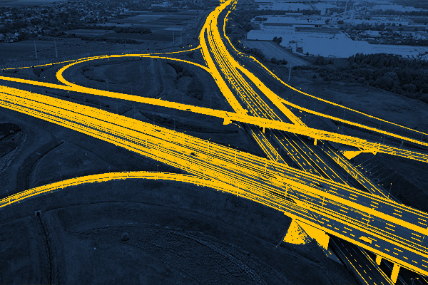
ROAD INFRASTRUCTURE
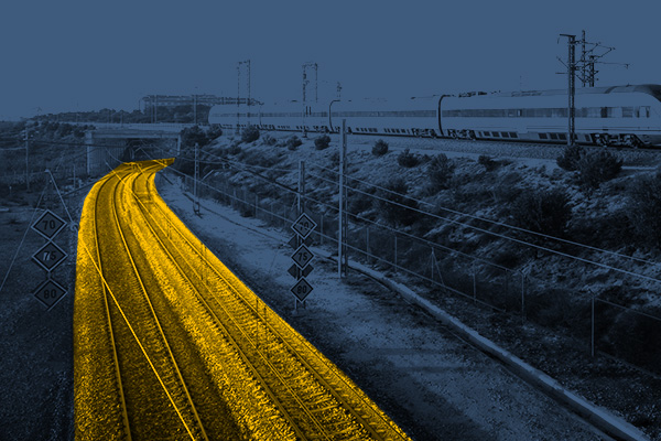
RAILWAY INFRASTRUCTURE
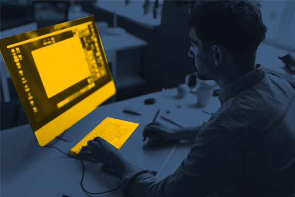
DESIGNING
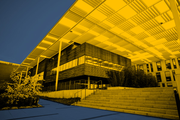
ARCHITECTURE
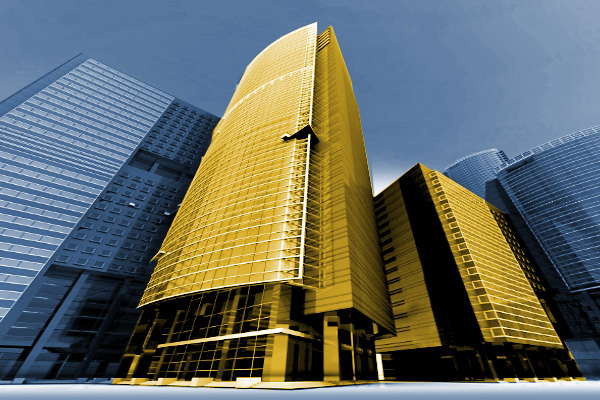
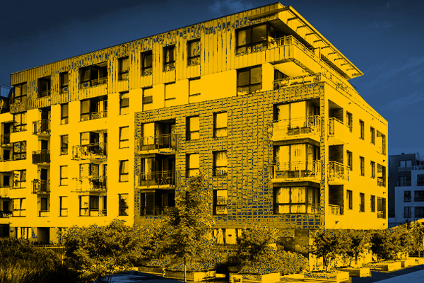
BUILDINGS
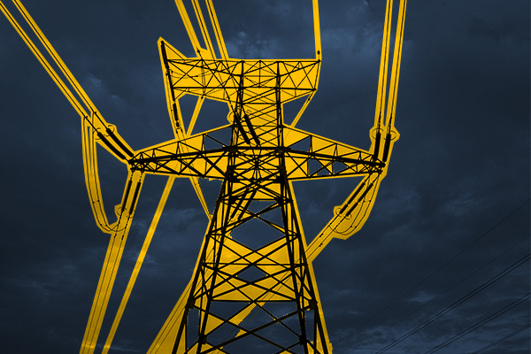
ENERGETICS
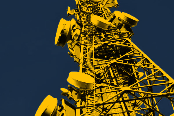
TELECOMMUNICATIONS – MASTS, TOWERS
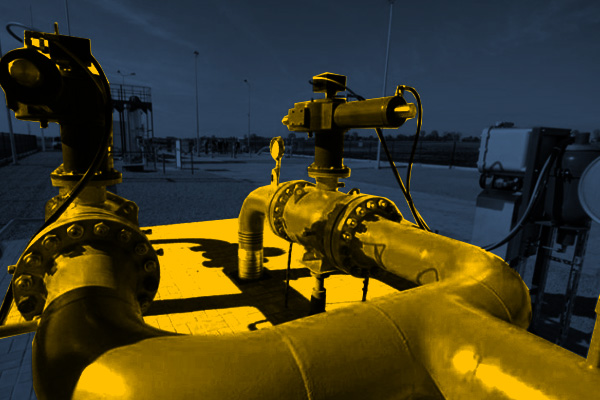
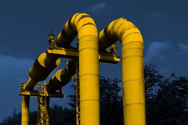
GAS NETWORKS
HEAT NETWORKS
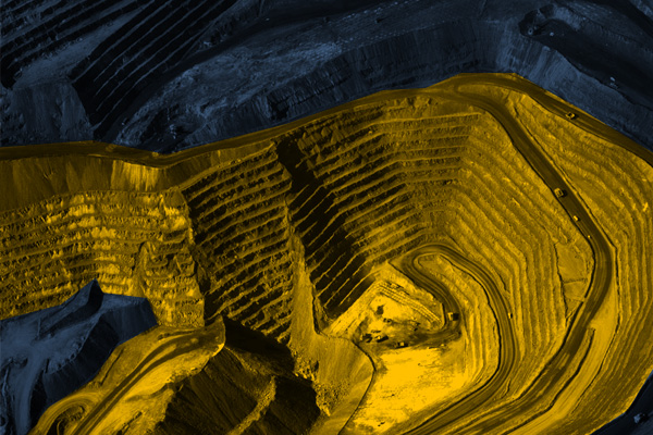
MINES, STOCKPILES, QUARRIES
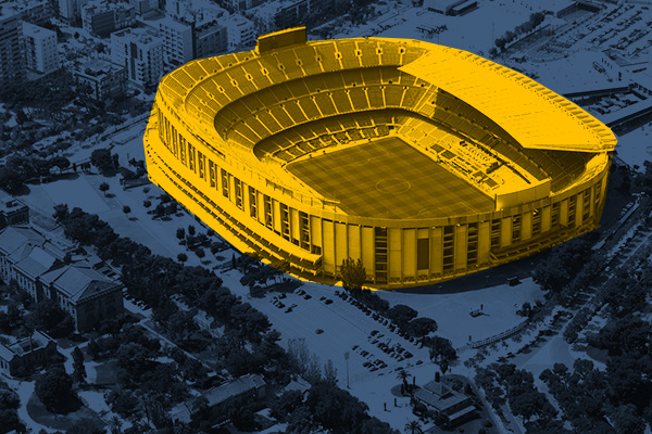
SPORTS AND RECREATION FACILITIES
REAL ESTATE: INVESTMENT, MANAGEMENT, SUPERVISION
MUNICIPALITIES, TERRITORIAL UNITS
ENVIRONMENT
SPECIALIZED MEASUREMENTS

