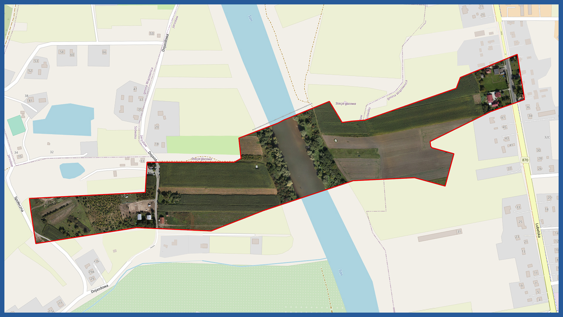
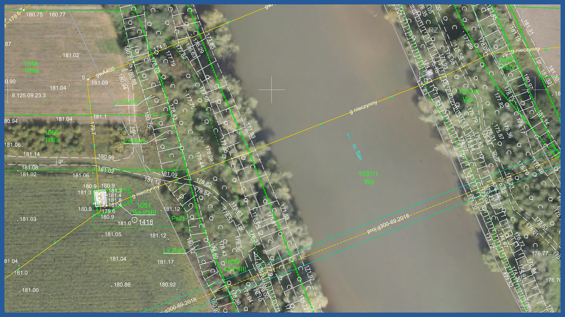
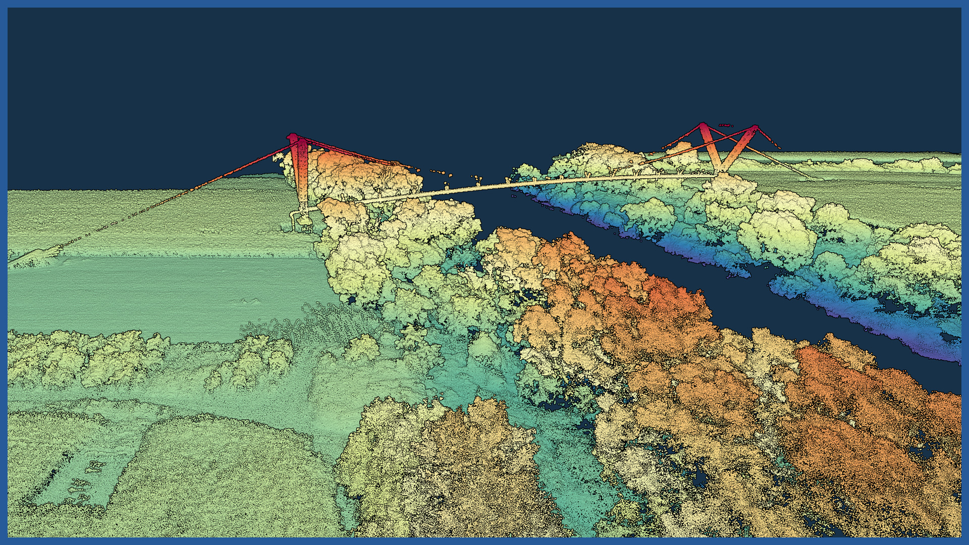
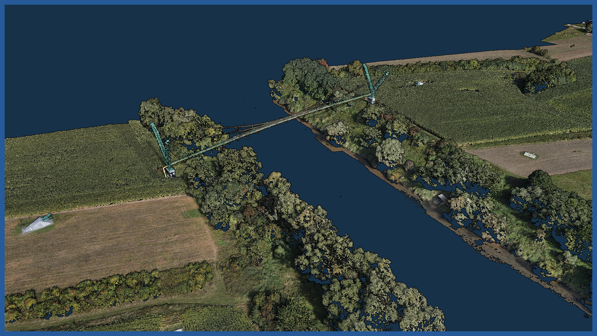
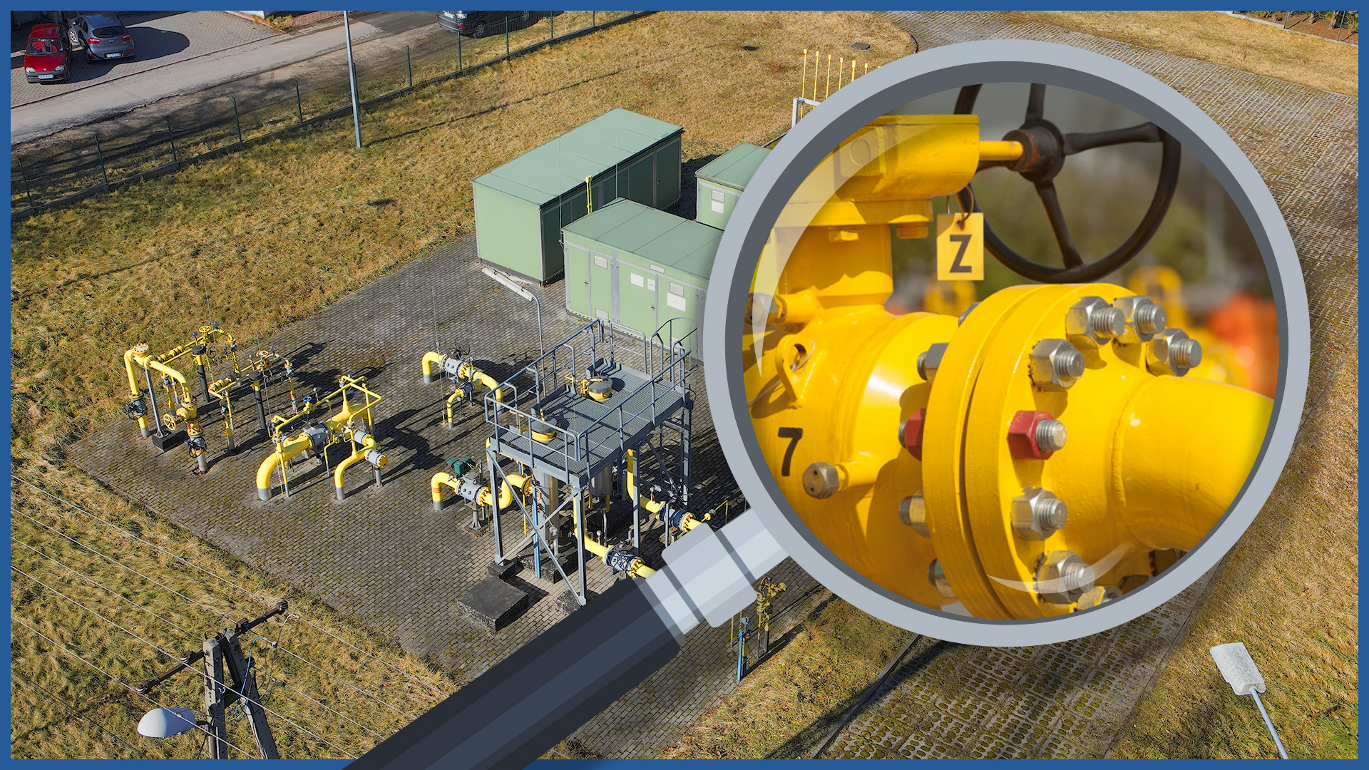
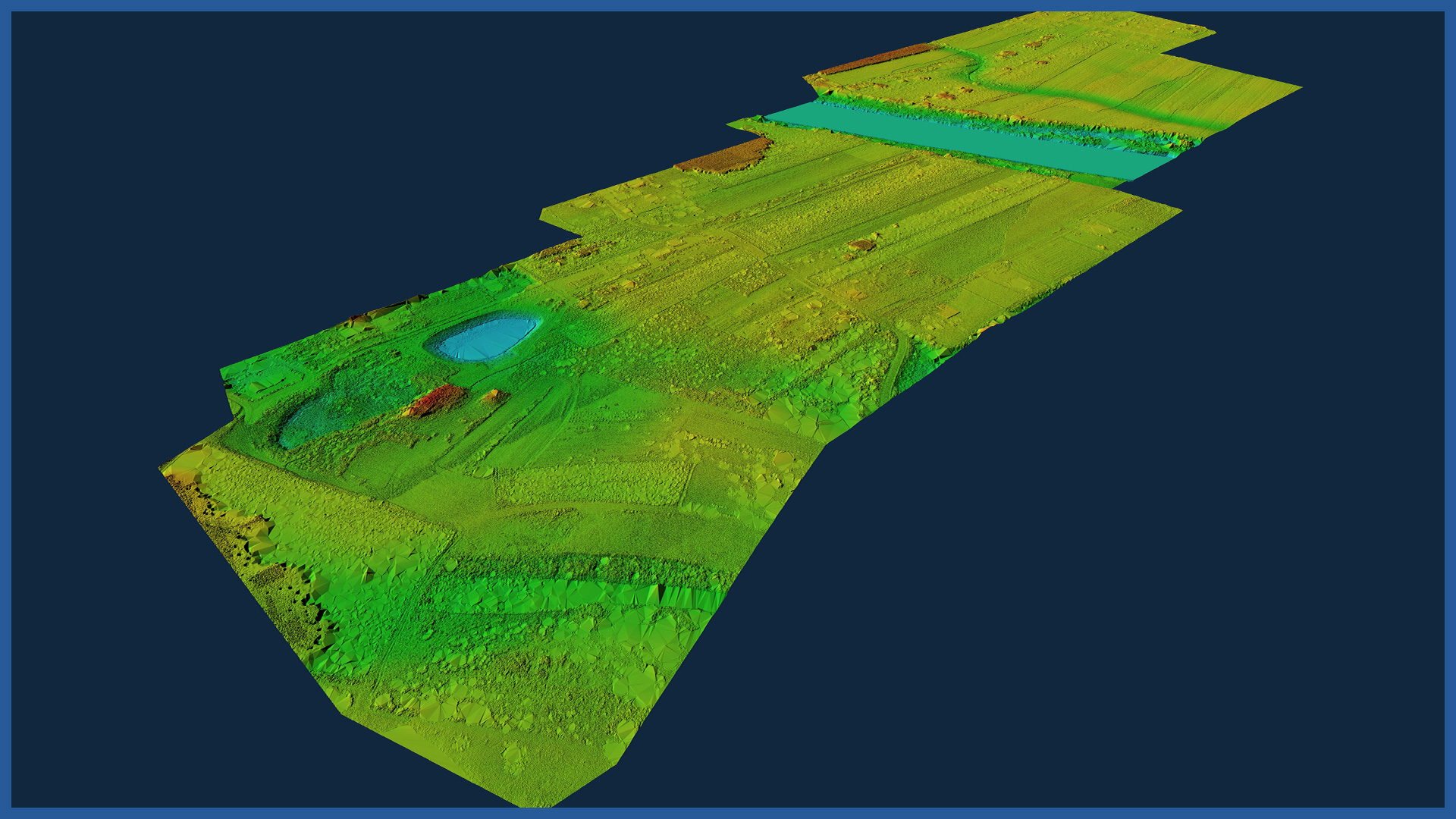
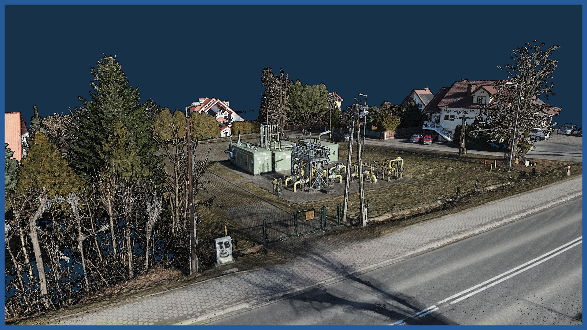
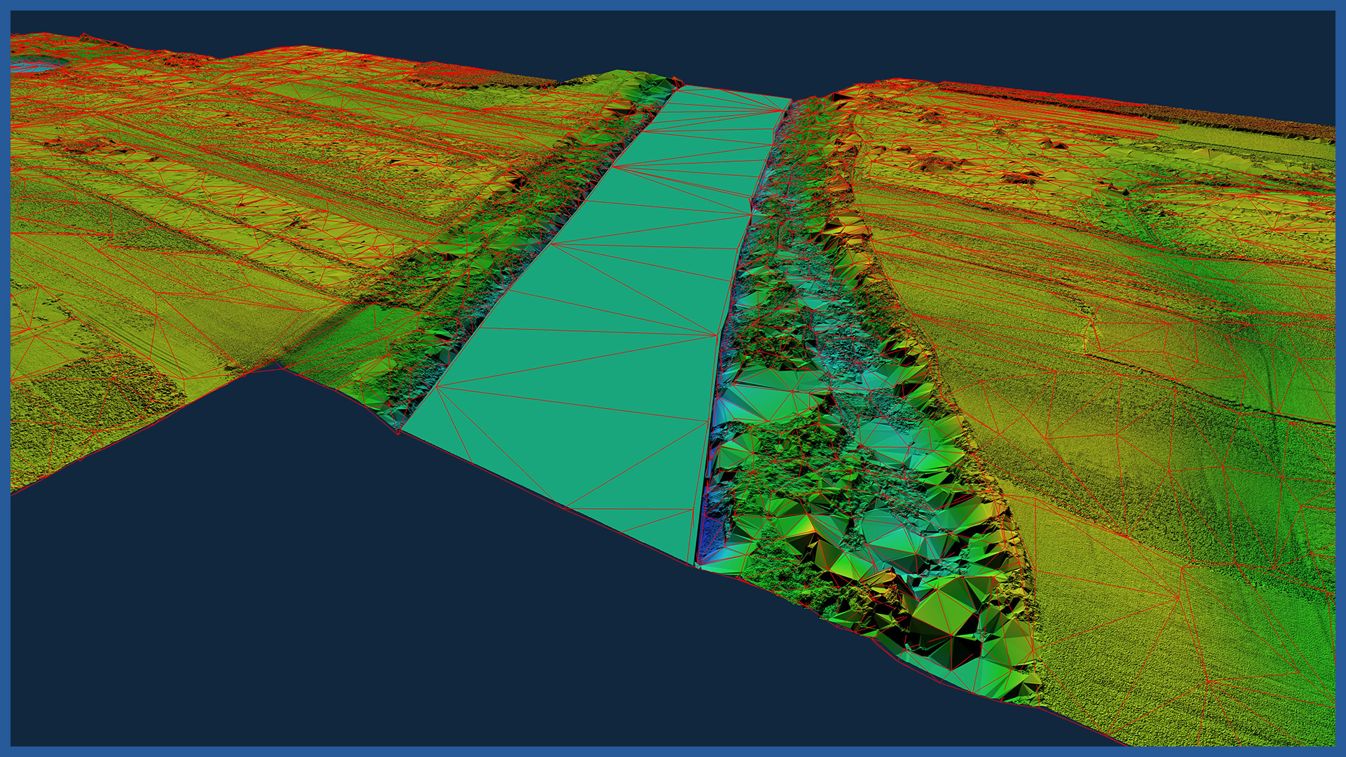
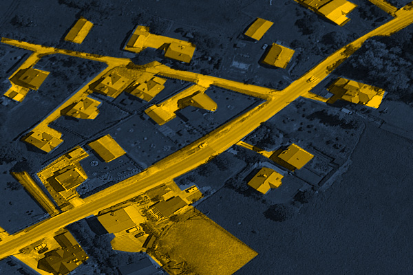
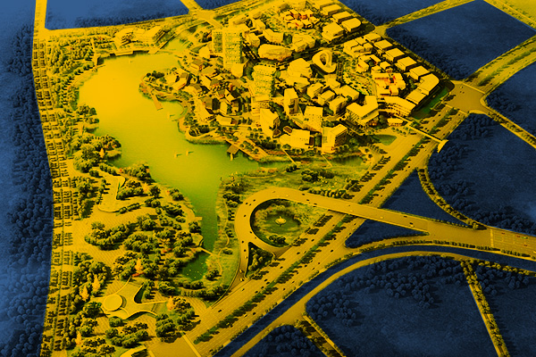
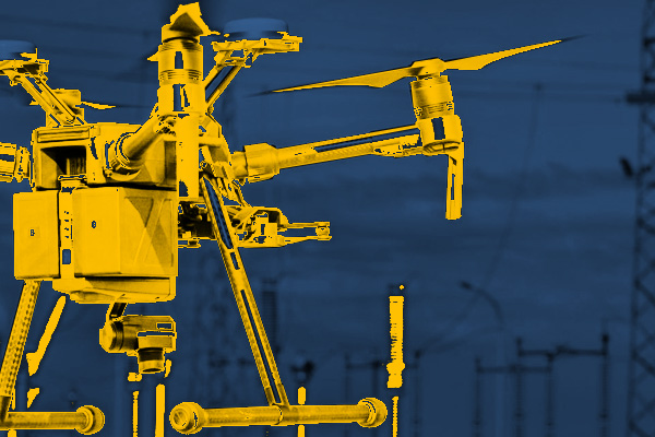
High-resolution orthophotos are the most widely used of our products in studies of gas transmission networks. They meet the requirements of network managers and complement their GIS databases. We have the best-class aircraft equipped with high-resolution cameras and LIDAR scanners. Due to this, our measurements are very detailed and accurate. The experience and knowledge of our operators allows us to use aerial techniques to conduct measurements in a fast and safe manner. The specialized software we use also allows us to obtain data and final studies in a short time. Thanks to this, our efficiency exceeds the possibility obtained with classical methods by several times, and hard-to-reach areas are not a barrier for us. We use airborne laser scanning and thanks to this we are able to measure landforms covered with forests, shrubbery or agricultural crops. Our documentation is implemented into all major design support programs, but as part of the ordered service we can place 3D models, visualizations, layers with orthophotos from different periods on a specialized server, which gives authorized users without any industry-specific programs tools for viewing and analysis. Select an area of interest:INDUSTRIES WE WORK FOR
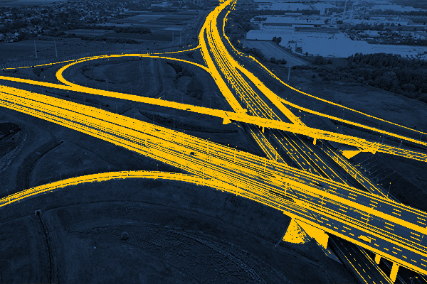
ROAD INFRASTRUCTURE
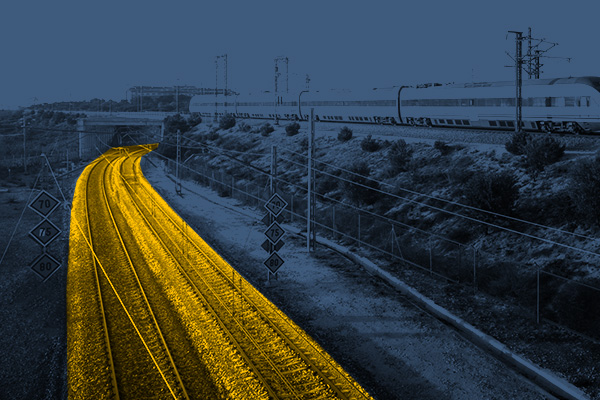
RAILWAY INFRASTRUCTURE
DESIGNING
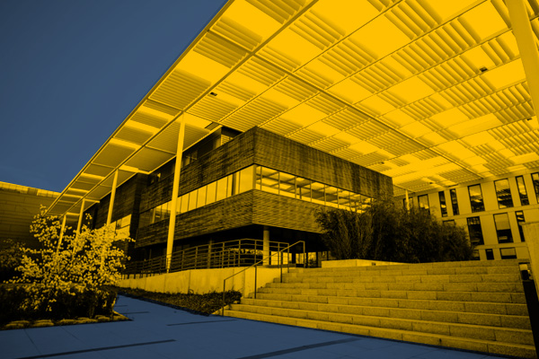
ARCHITECTURE
BUILDINGS
ENERGETICS
TELECOMMUNICATIONS – MASTS, TOWERS
GAS NETWORKS
HEAT NETWORKS
MINES, STOCKPILES, QUARRIES
SPORTS AND RECREATION FACILITIES
REAL ESTATE: INVESTMENT, MANAGEMENT, SUPERVISION
MUNICIPALITIES, TERRITORIAL UNITS
ENVIRONMENT
SPECIALIZED MEASUREMENTS

