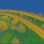
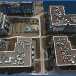
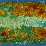
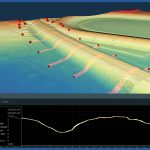
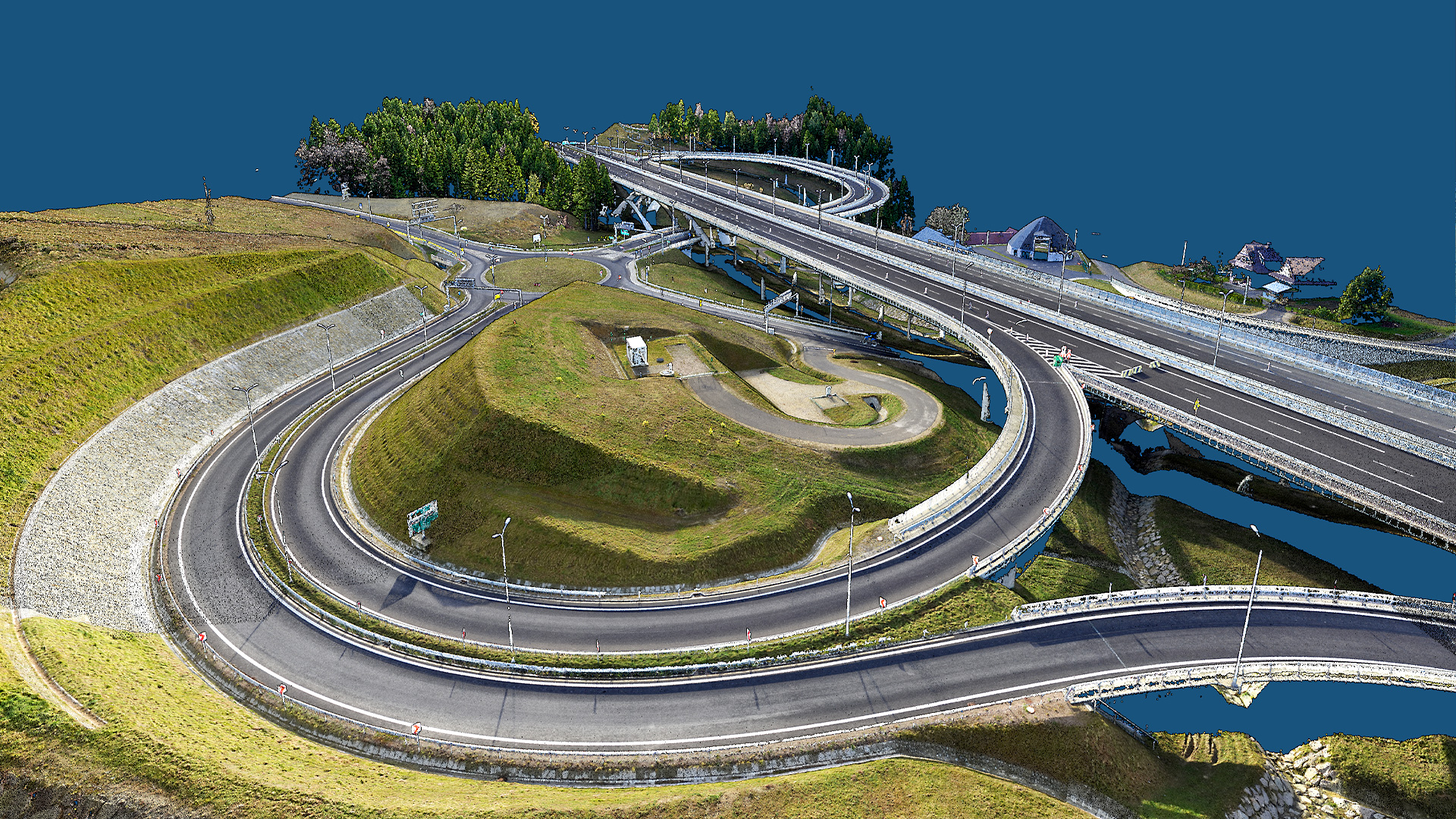
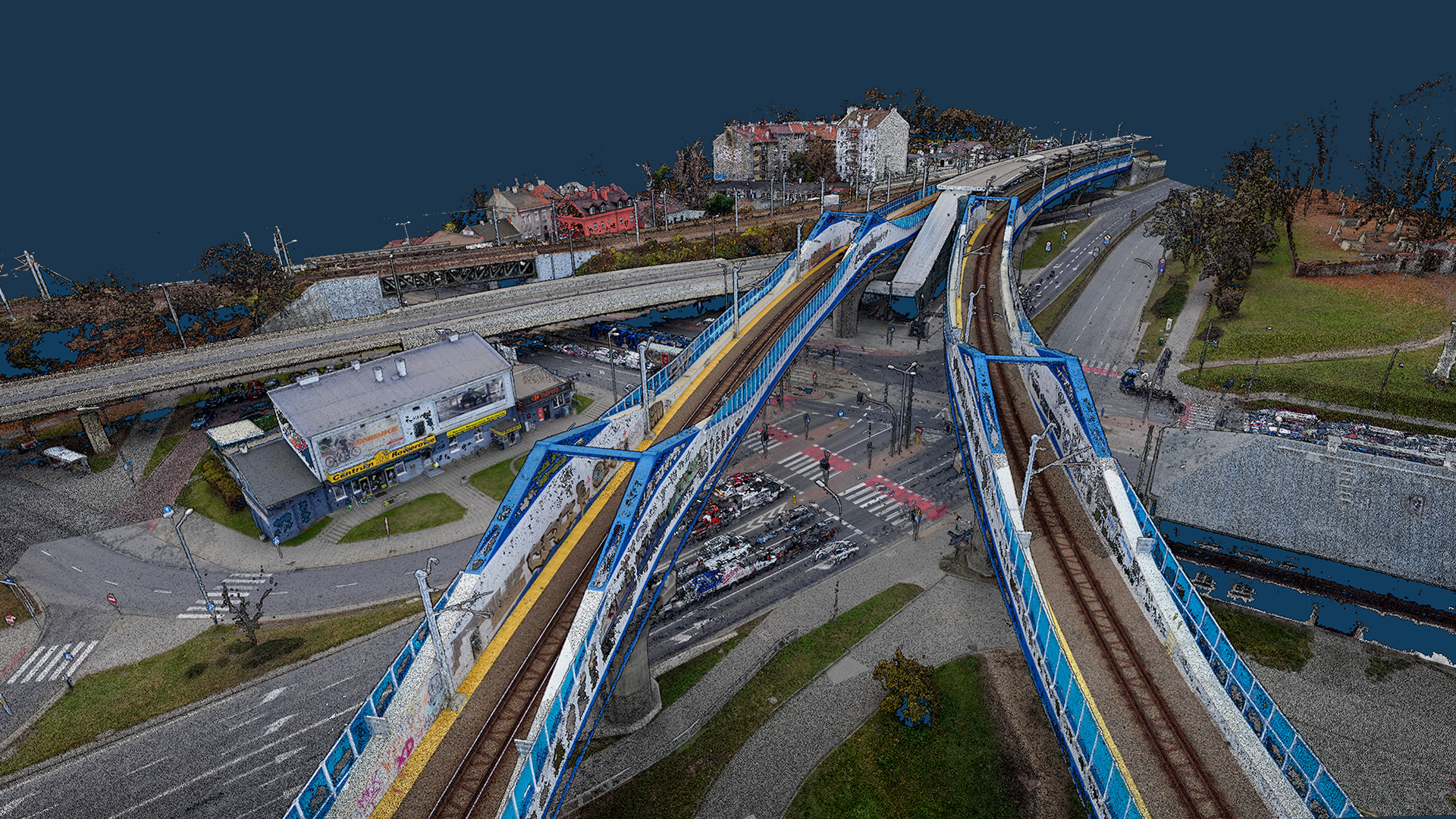
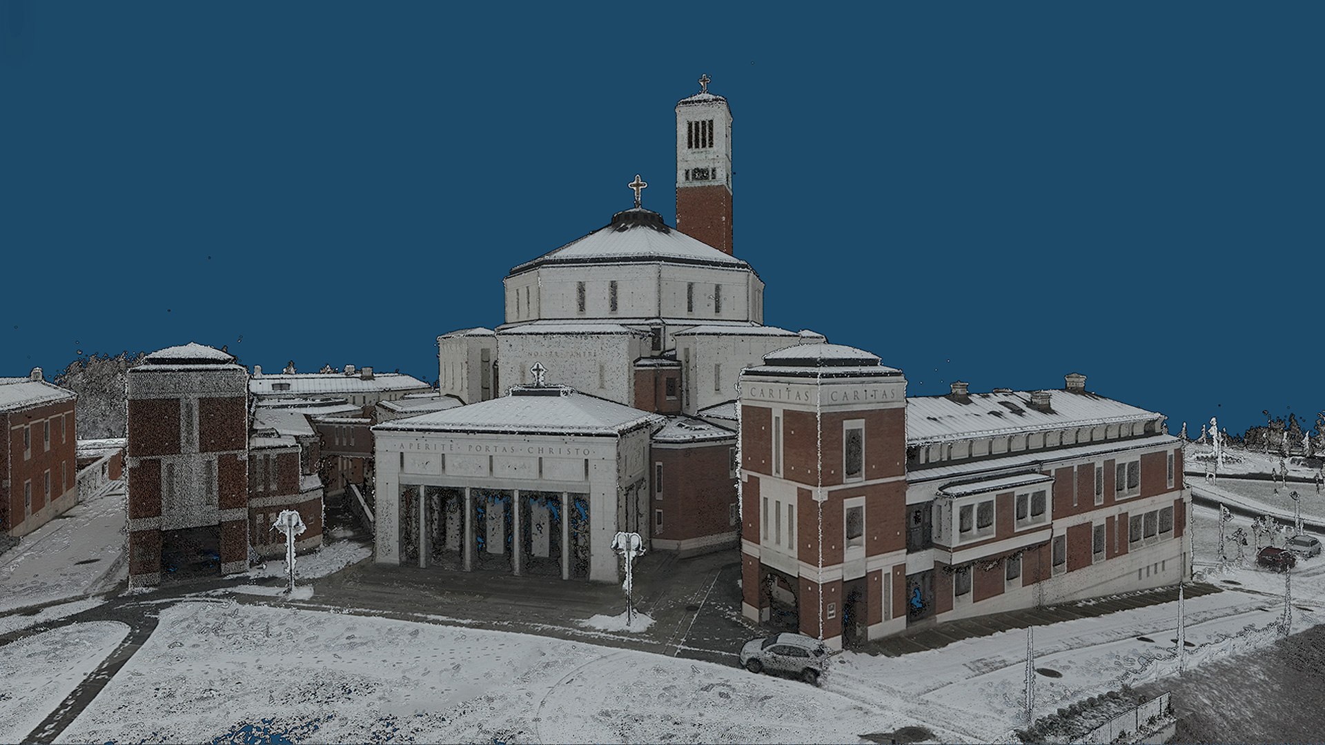
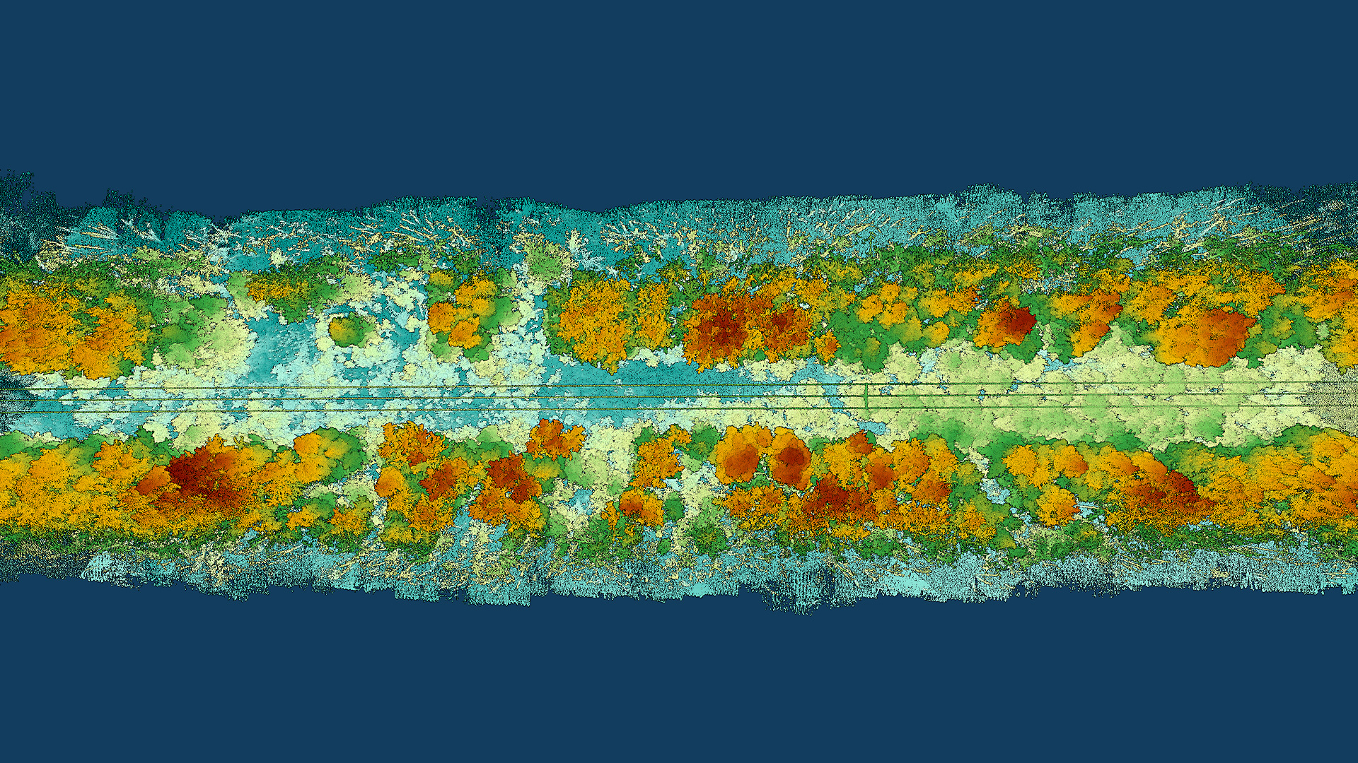
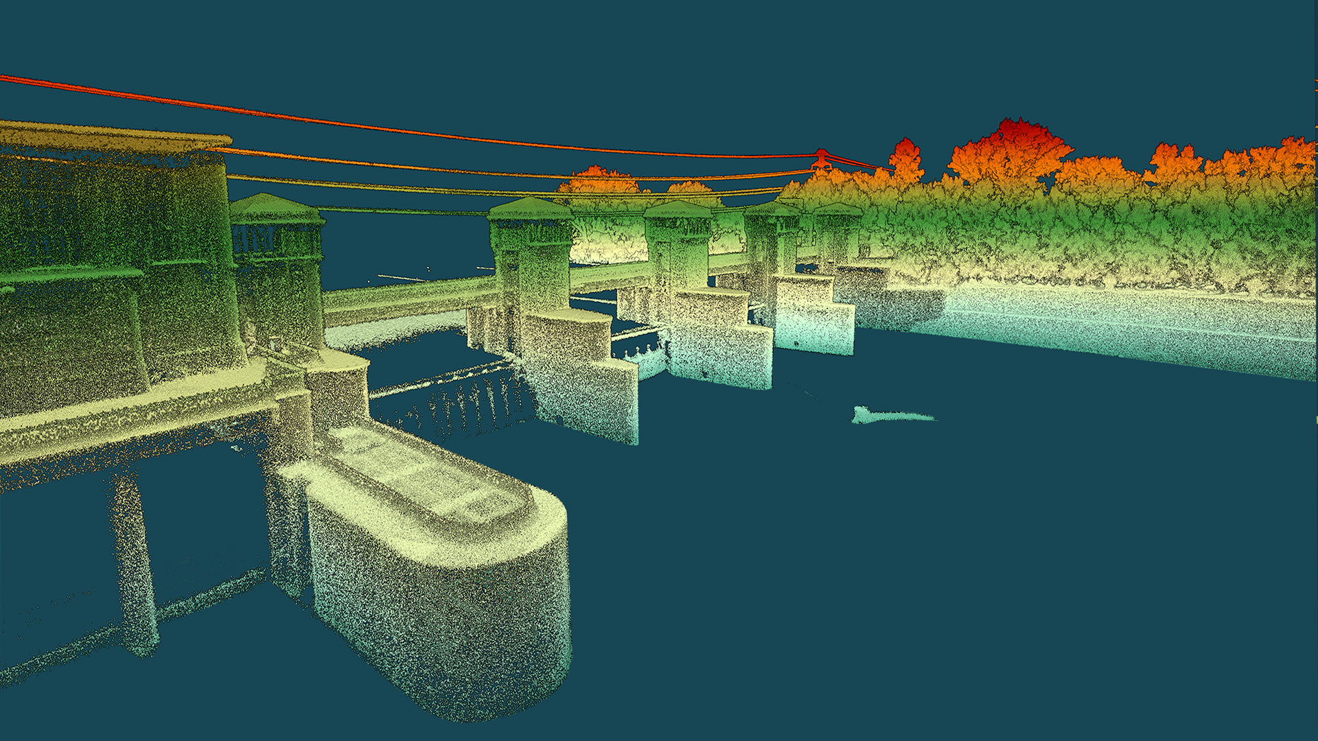
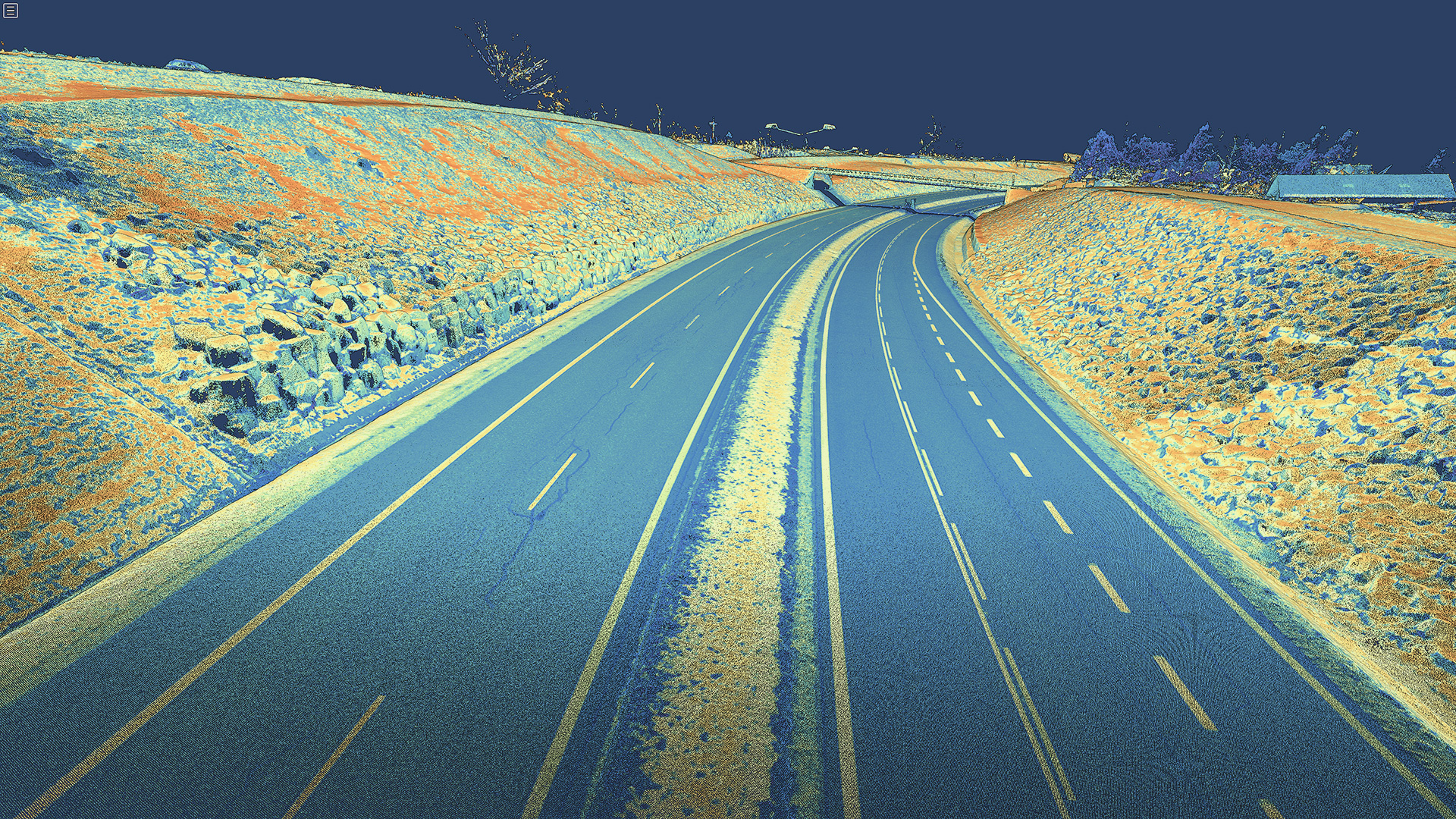
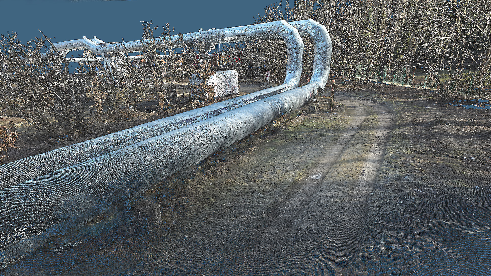
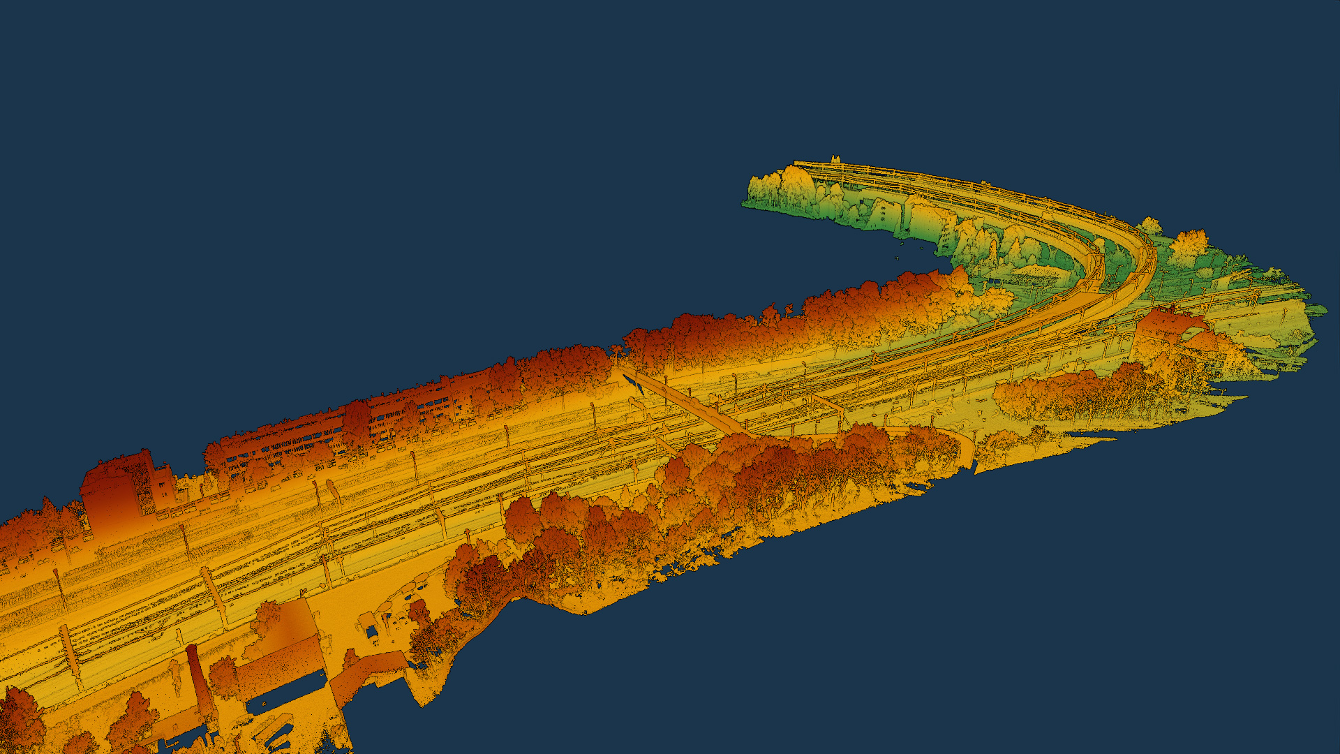
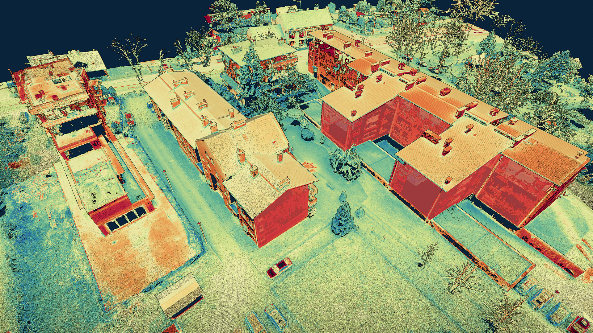
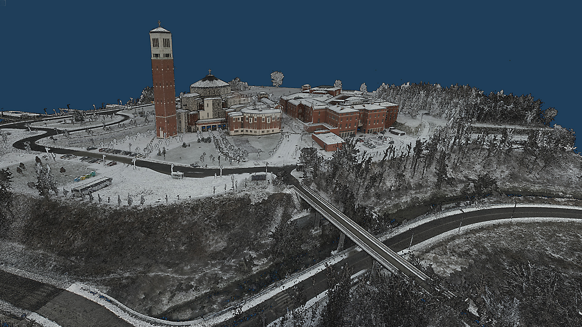
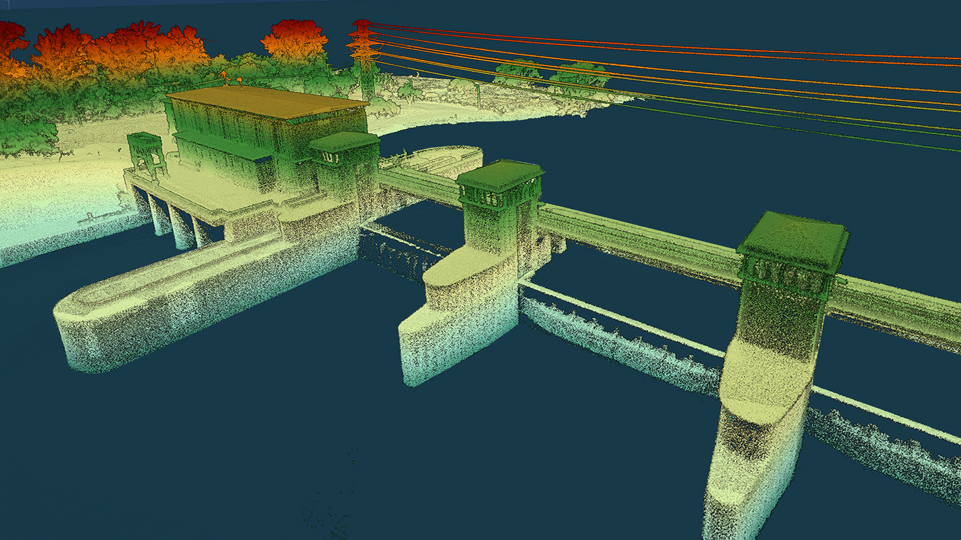
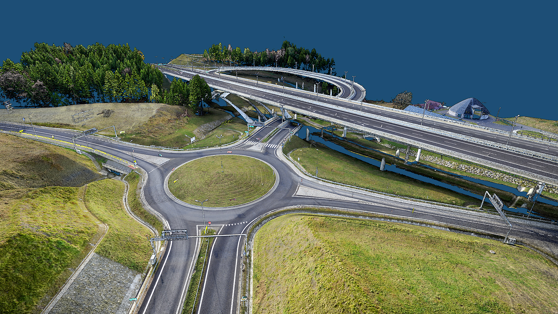
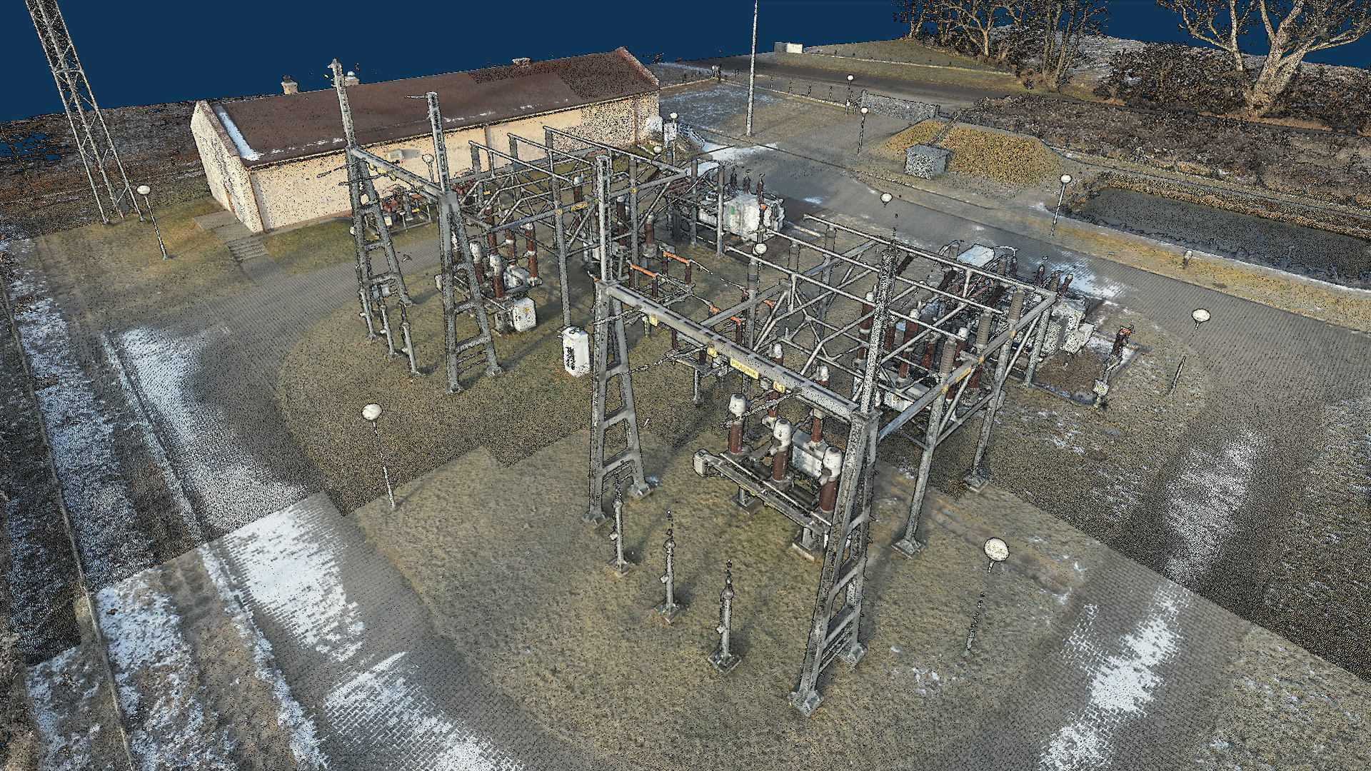
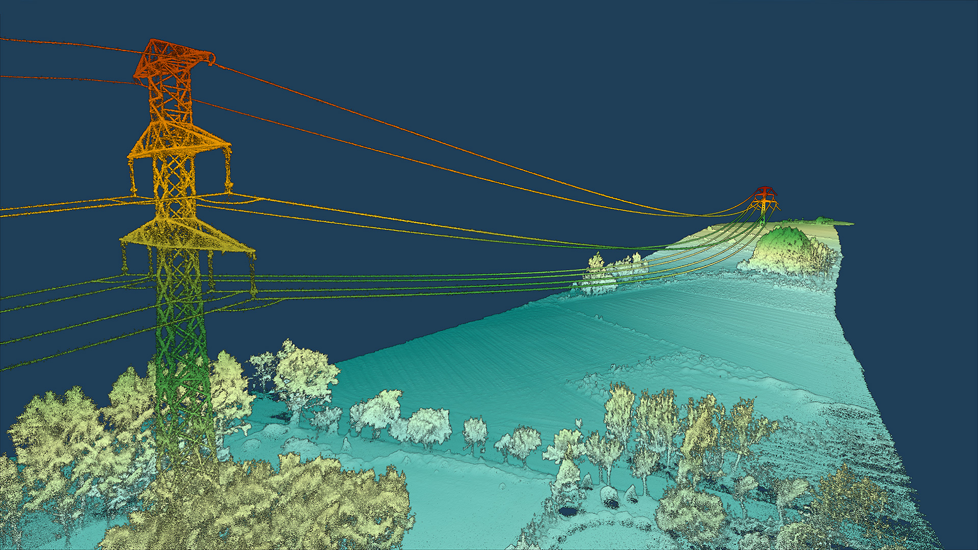
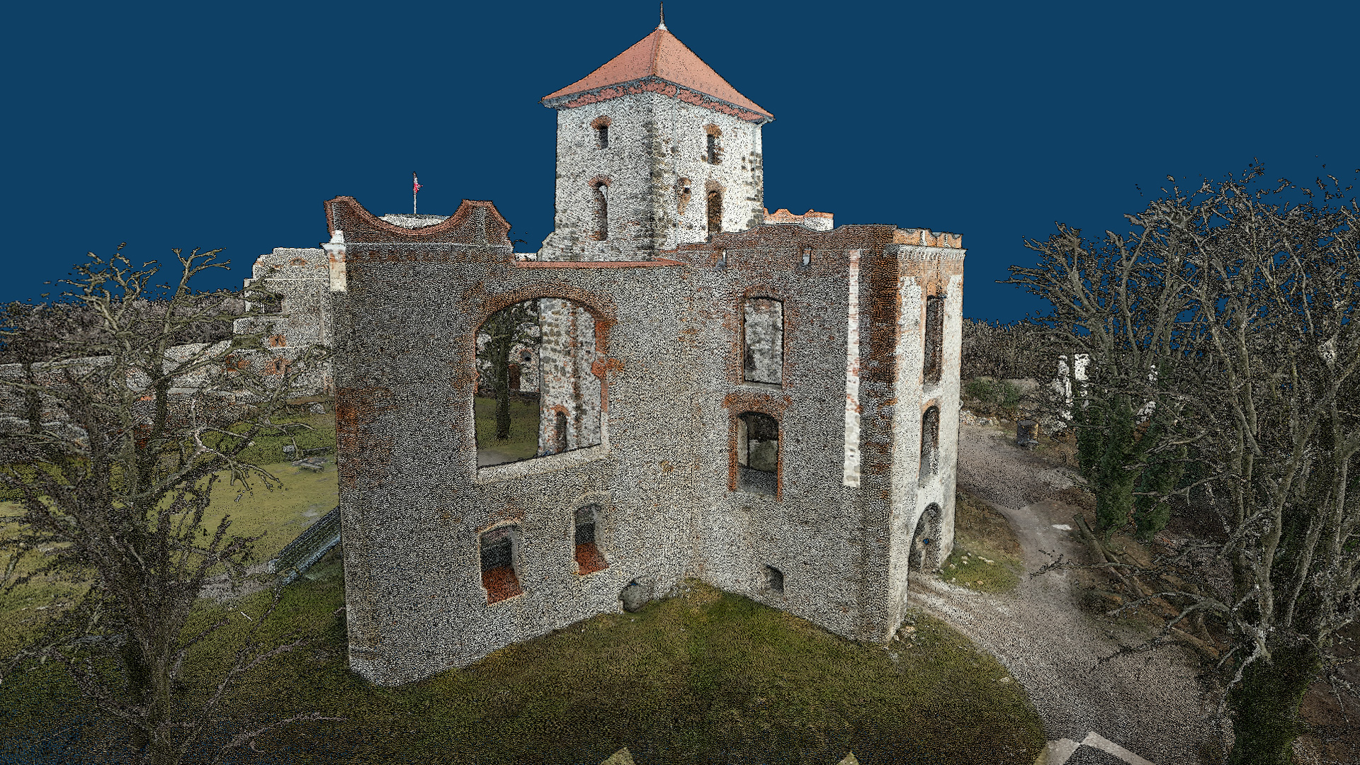
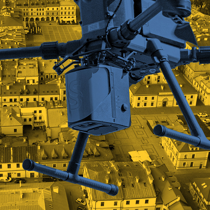
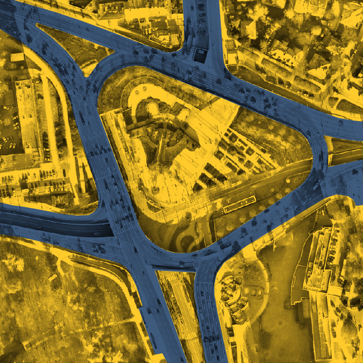
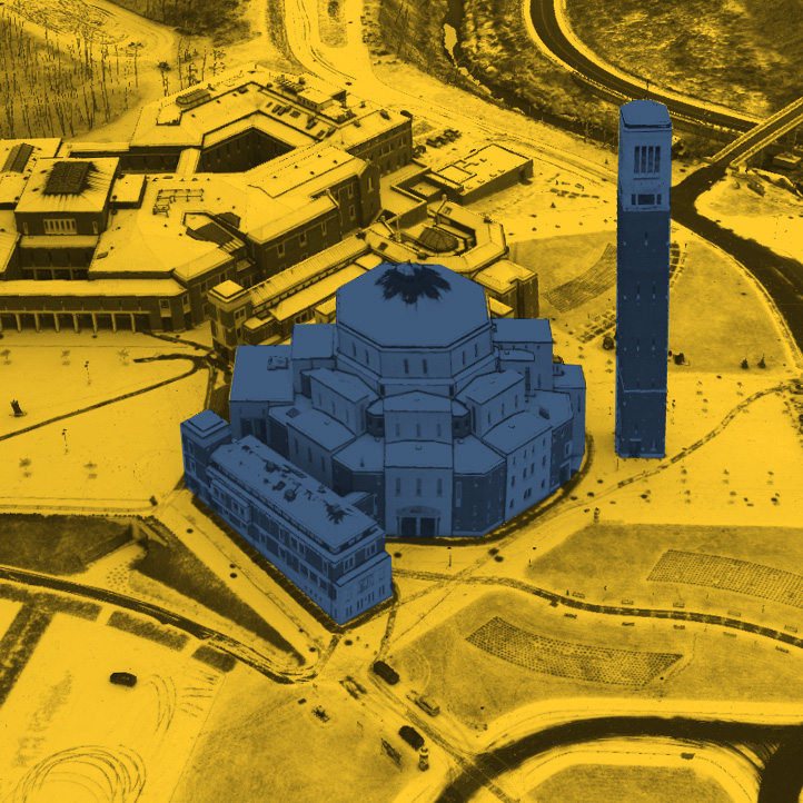
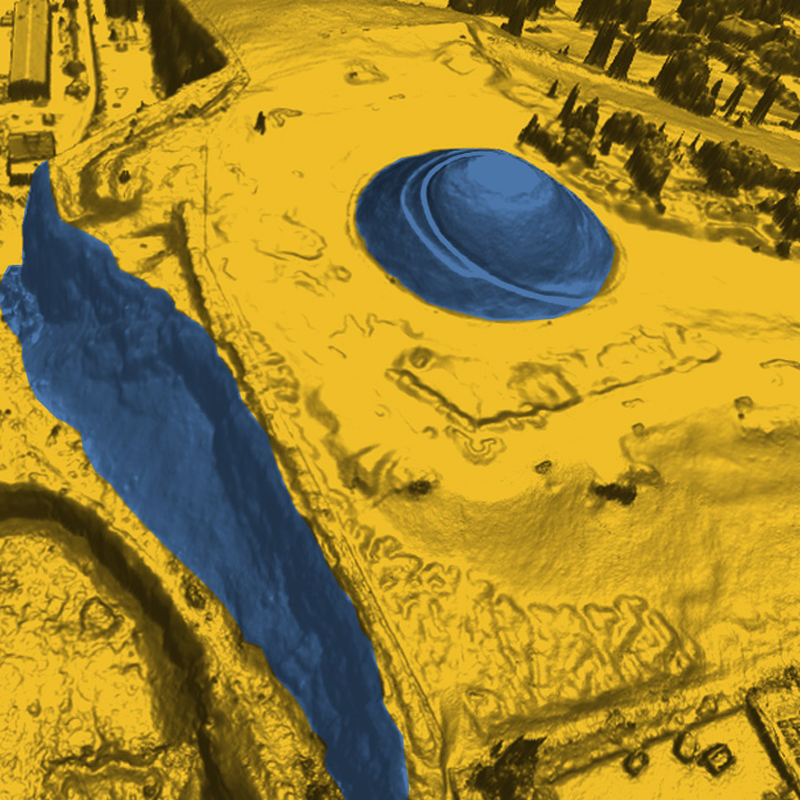
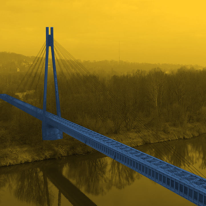
A dense point cloud is created during UAV laser scanning and subsequent processing. It is a multimillion set of points having XYZ coordinates and the parameters characterizing them: reflection intensity, point acquisition time, return number, scan angle, edge of flight line and its direction. Afterwards, by using specialized software, we filter and classify the points according to the ASPRS standard into: The most important application of a dense point cloud acquired from airborne laser scanning is to generate: Derivative products can also be:: Aerial laser scanning UAV is a modern method of mapping the surface of objects using a dense point cloud based on precise measurement of the distance between the measured object and the scanner on an unmanned aircraft The technology has a number of advantages that distinguish it from classic measurement technologies: Representation of railroad, traction networks, and associated facilities can be used to inspect the condition of railroad and detailed inspections. A detailed spatial model of the site and the surroundings of building investments allows you to properly design and conduct construction work. Acquired by LIDAR scanning, the point cloud of a power line running through forest areas makes it possible to detect locations of potential collisions. Periodically acquired point clouds make it possible to make a web portal showing the progress of road investments.What is a dense point cloud?
Advantages of technology
INTERACTIVE VISUALIZATION- DENSE POINT CLOUD - laser scanning / photogrammetry
EXAMPLES OF APPLICATION
