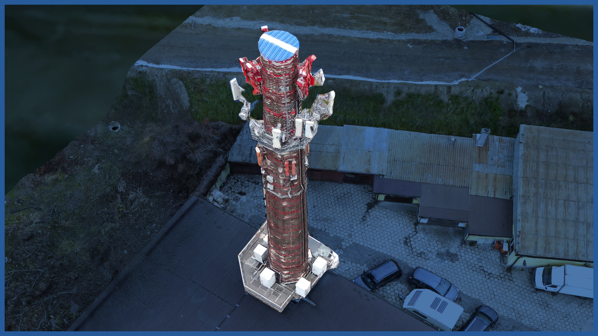
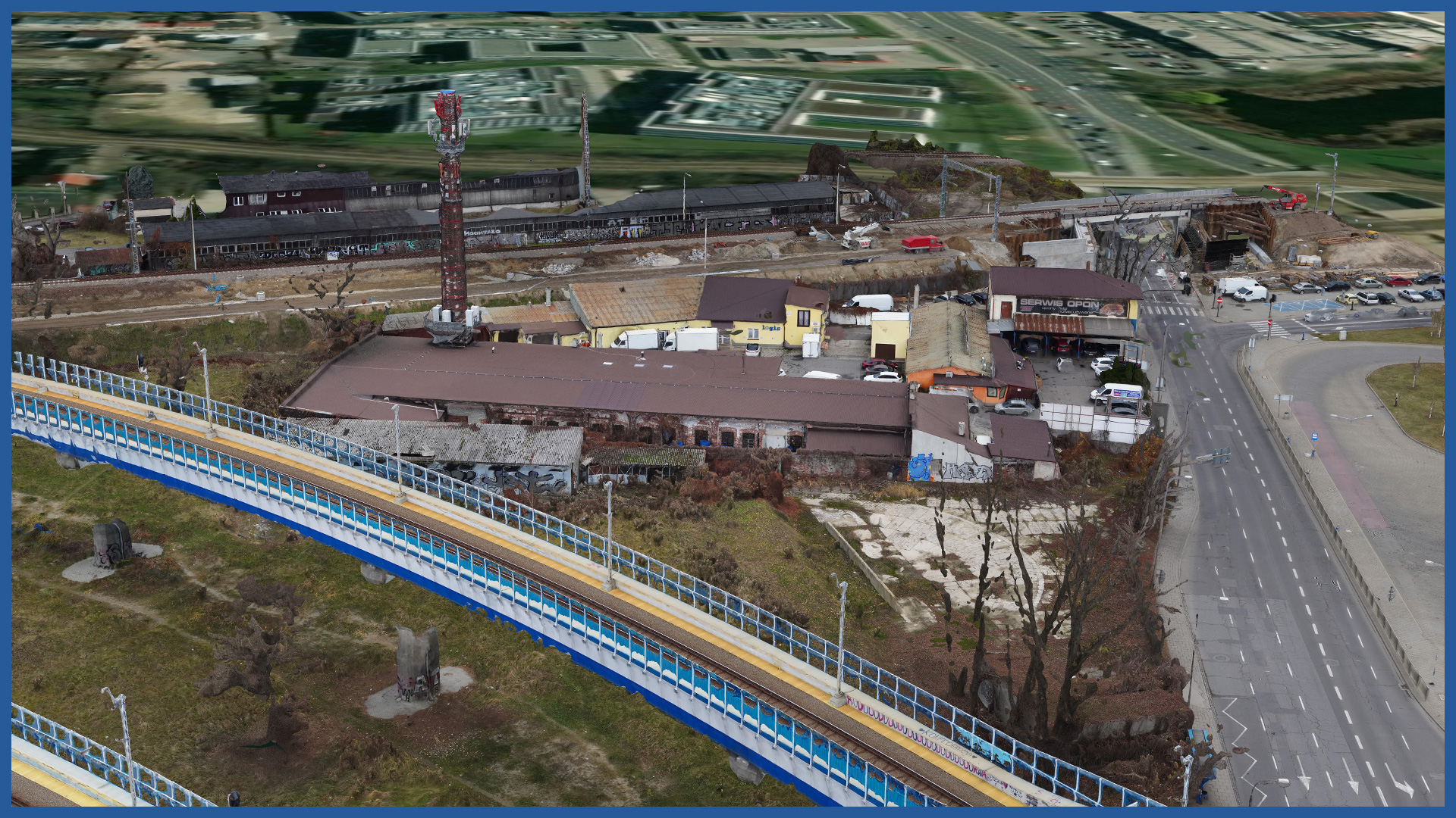
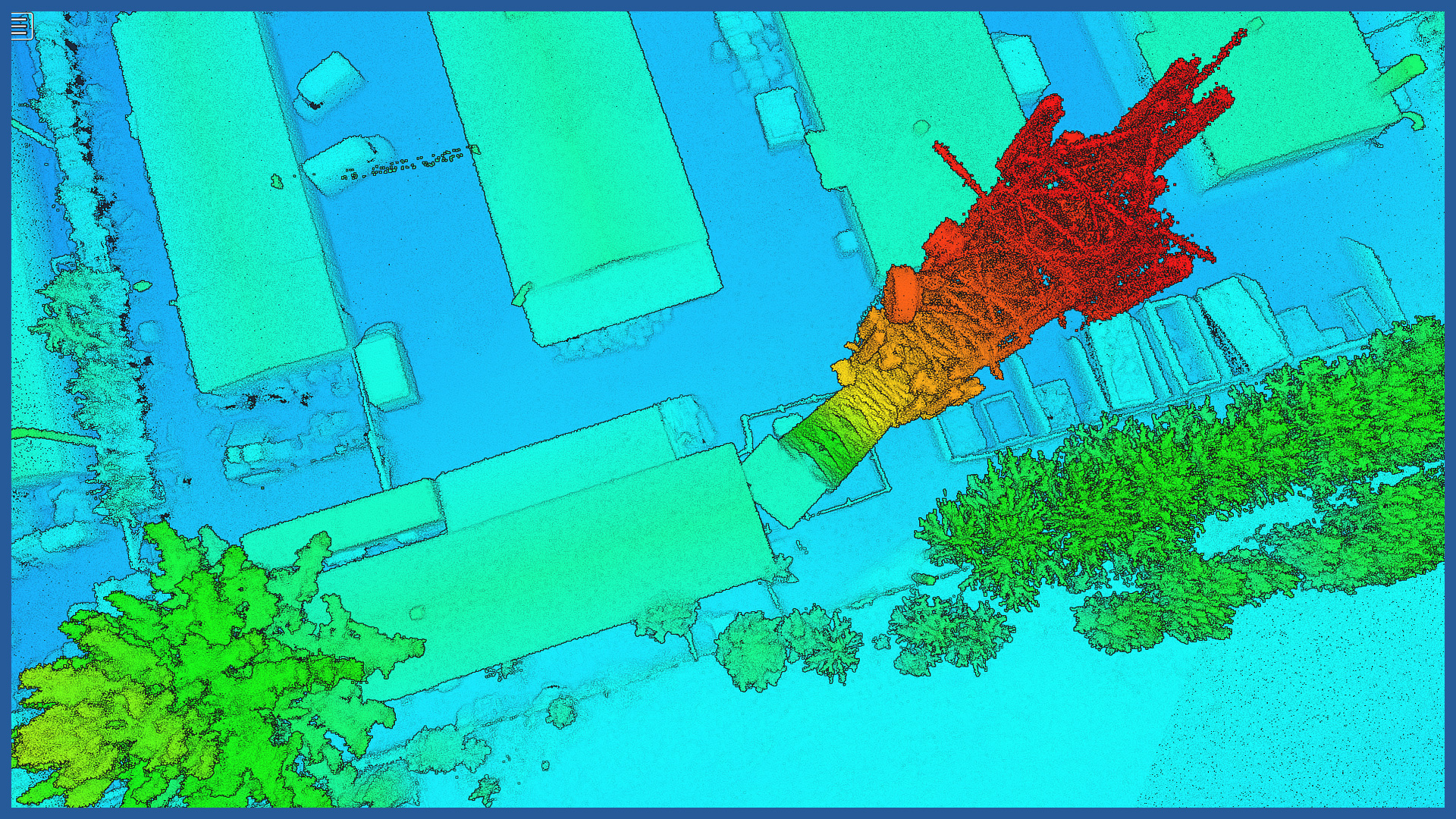
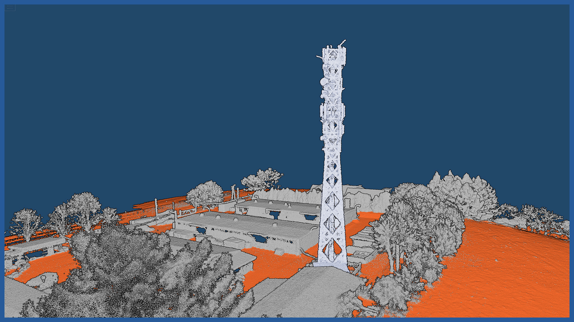
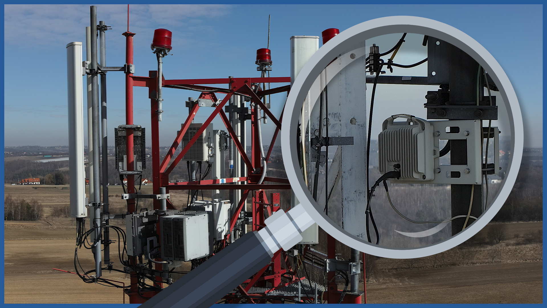
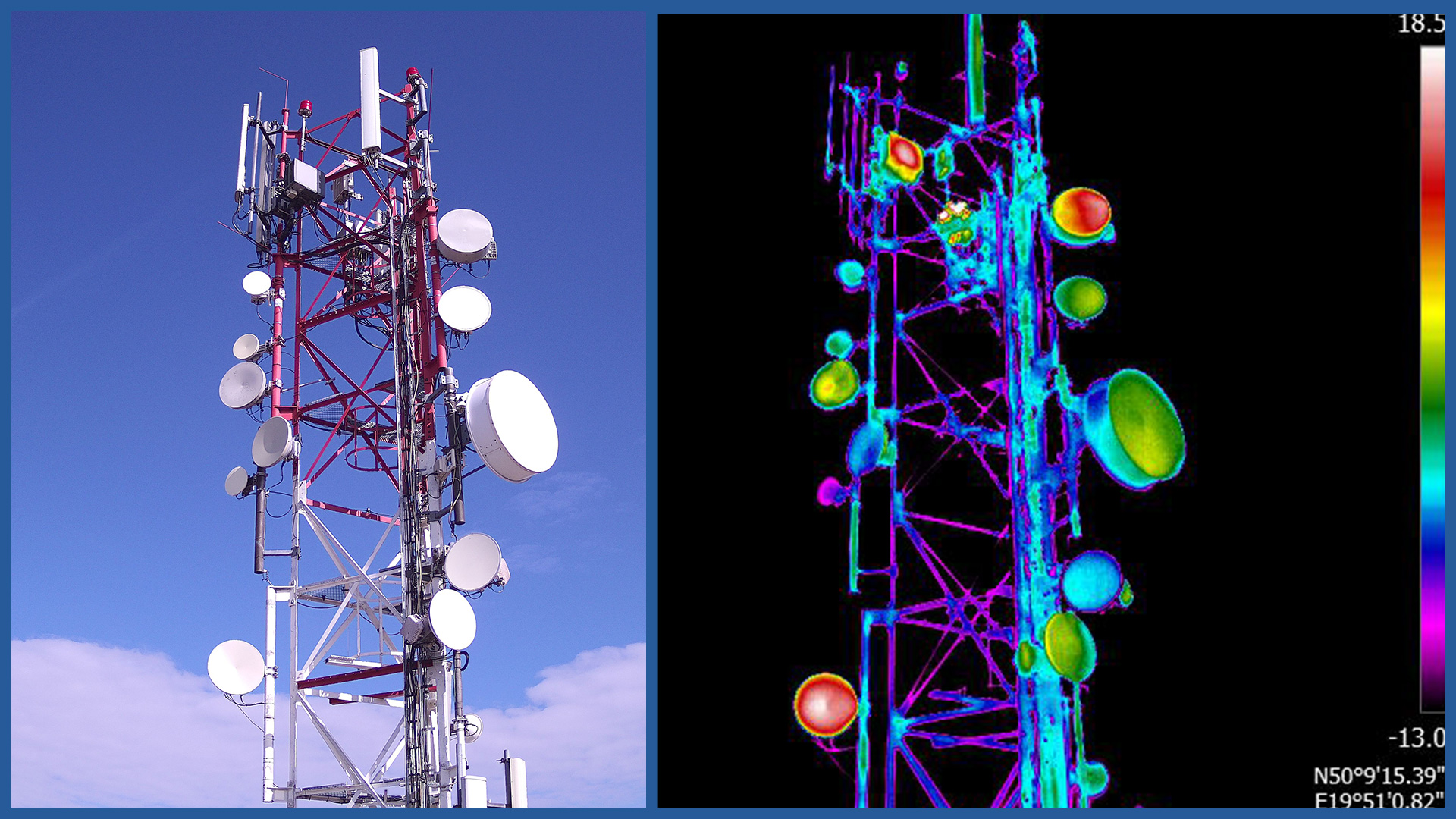
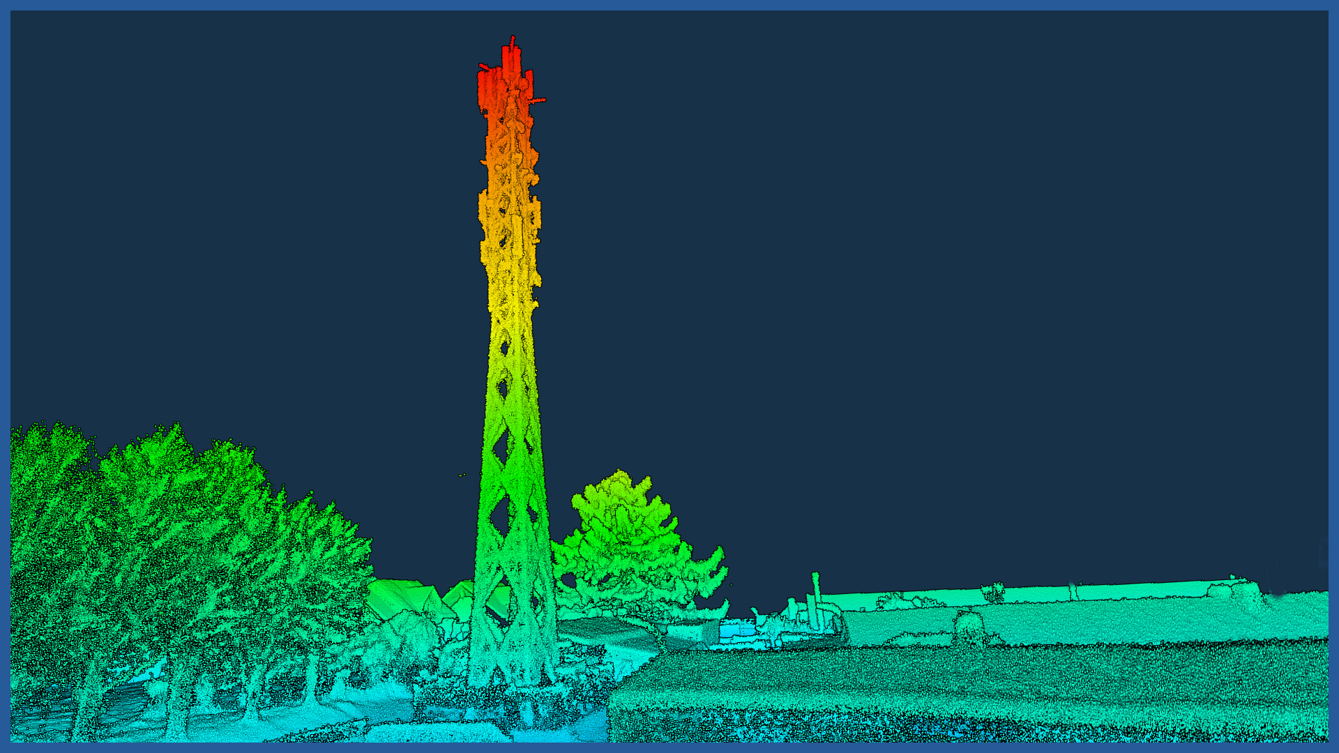
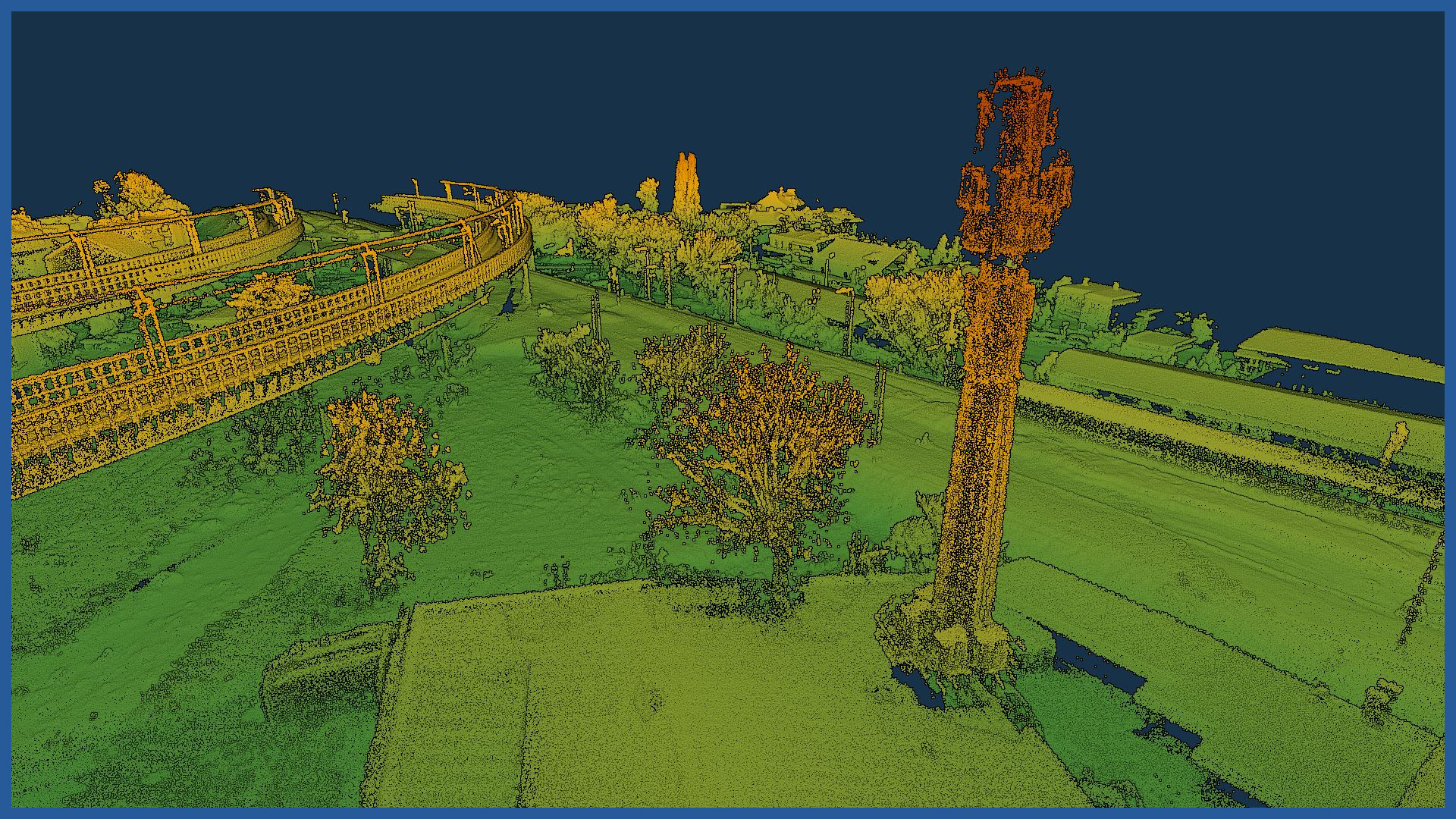
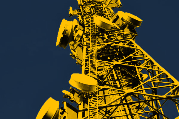
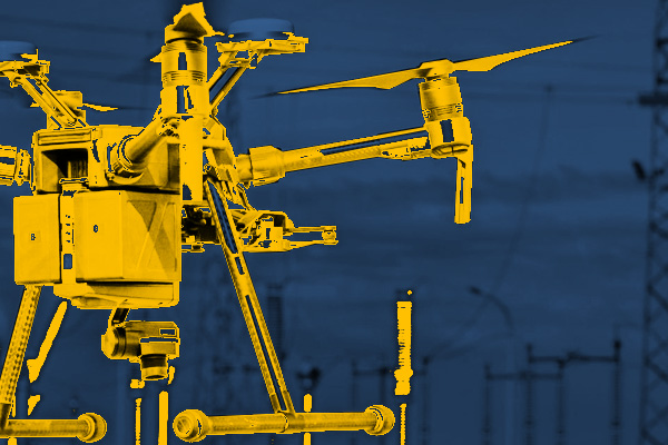
Our survey services are based on top-of-the-line equipment, specialized software and experienced vessel operators who can use our technology with precision. As a result, we are able to accurately and in detail visualize telecommunications facilities and the terrain on which they are located. The high-resolution cameras we use capture all the details, even in hard-to-reach areas or at height. Our software allows us to analyze and process detailed data, and then generate studies in formats implemented by all major programs supporting design or visualization. The work is performed in a fast and safe manner. We minimize measurement errors. The products provide an ideal foundation for other vector layers, so we facilitate the design and start of the investment process related to the construction or modernization of telecommunications equipment. The detailed photographs we take, in addition to being used in generating photorealistic 3D models, become a document recording the state of the infrastructure for the day and the basis for inspections. Select an area of interest:INDUSTRIES WE WORK FOR
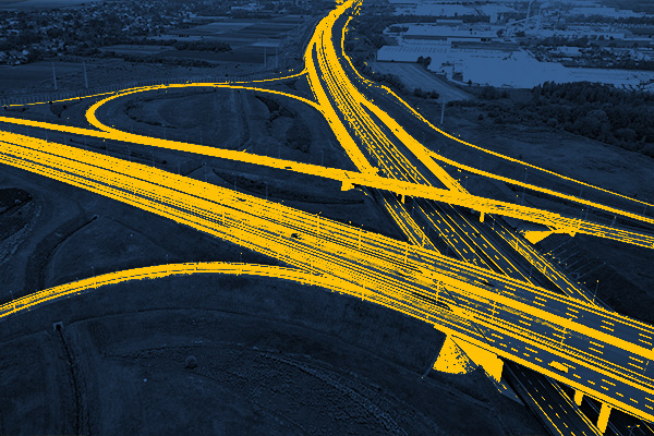
ROAD INFRASTRUCTURE
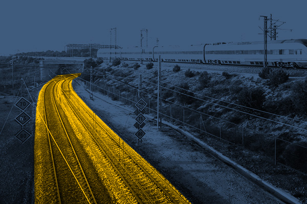
RAILWAY INFRASTRUCTURE
DESIGNING
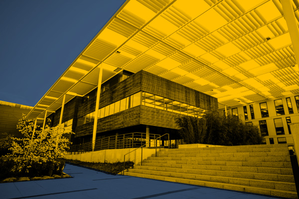
ARCHITECTURE
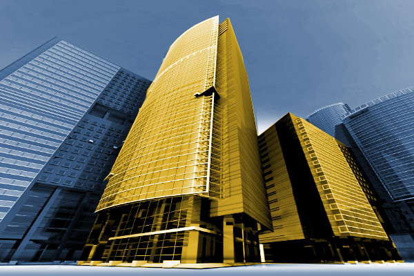
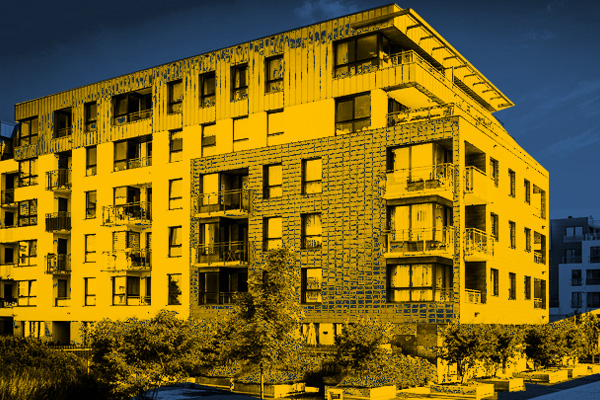
BUILDINGS
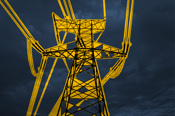
ENERGETICS
TELECOMMUNICATIONS – MASTS, TOWERS
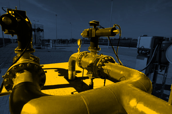
GAS NETWORKS
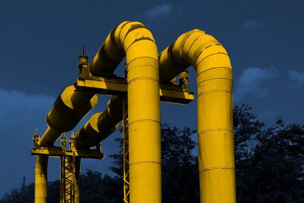
HEAT NETWORKS
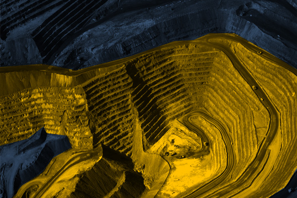
MINES, STOCKPILES, QUARRIES
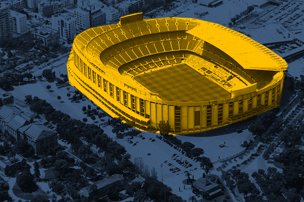
SPORTS AND RECREATION FACILITIES
REAL ESTATE: INVESTMENT, MANAGEMENT, SUPERVISION
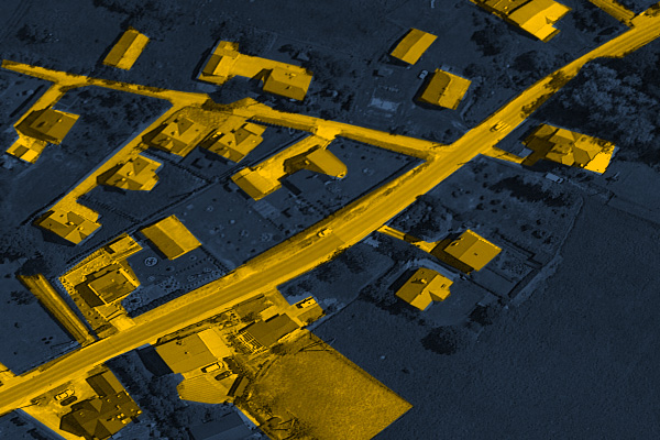
MUNICIPALITIES, TERRITORIAL UNITS
ENVIRONMENT
SPECIALIZED MEASUREMENTS

