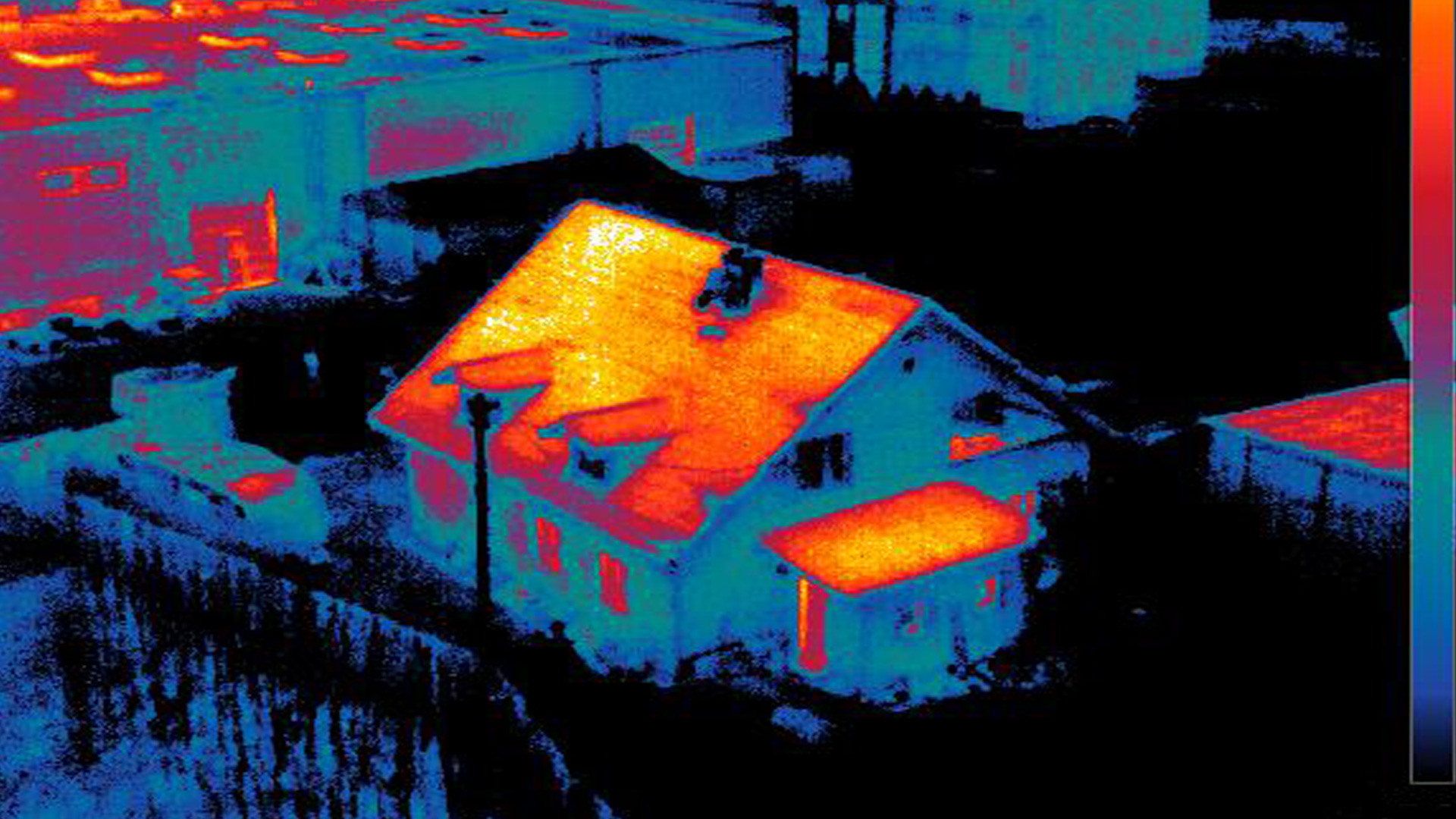
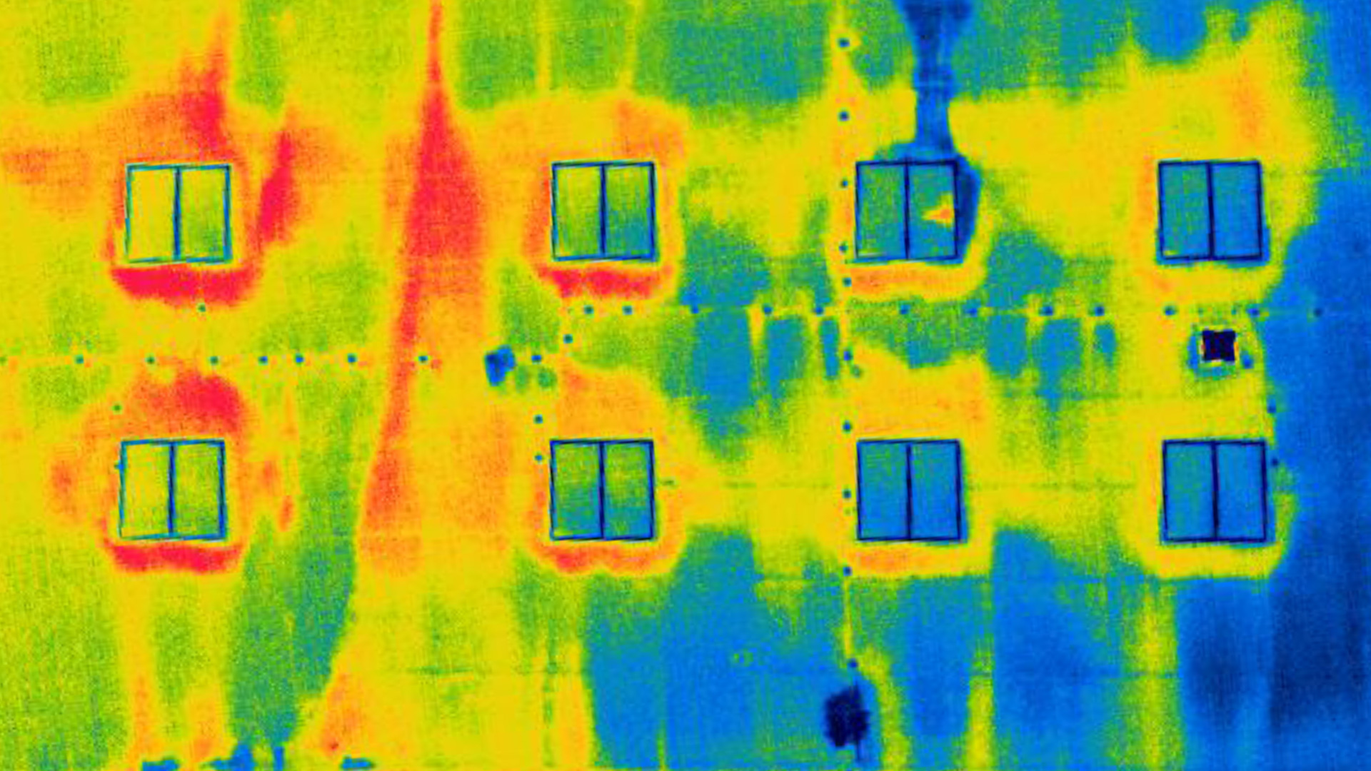
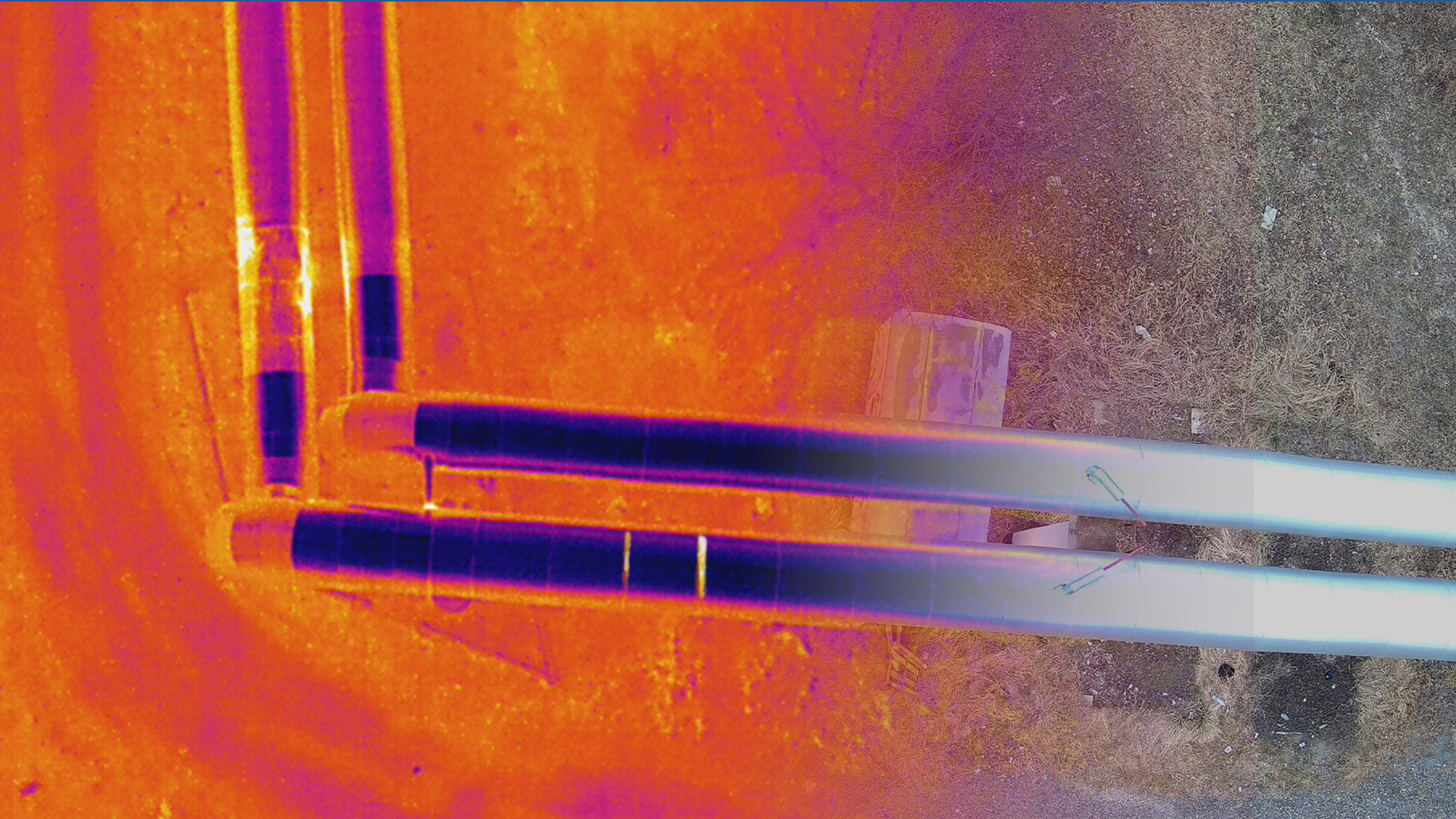
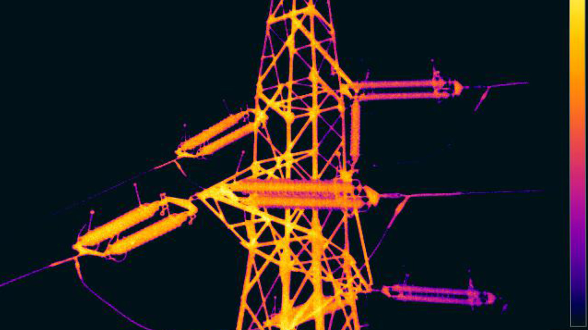
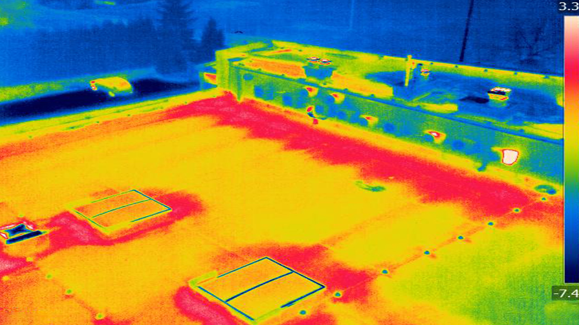
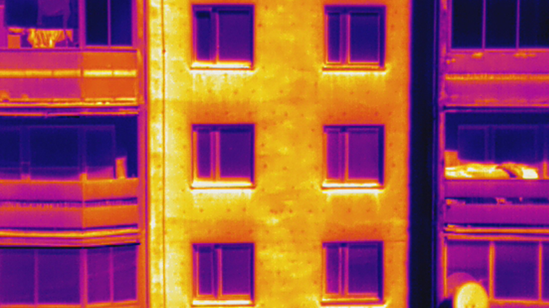
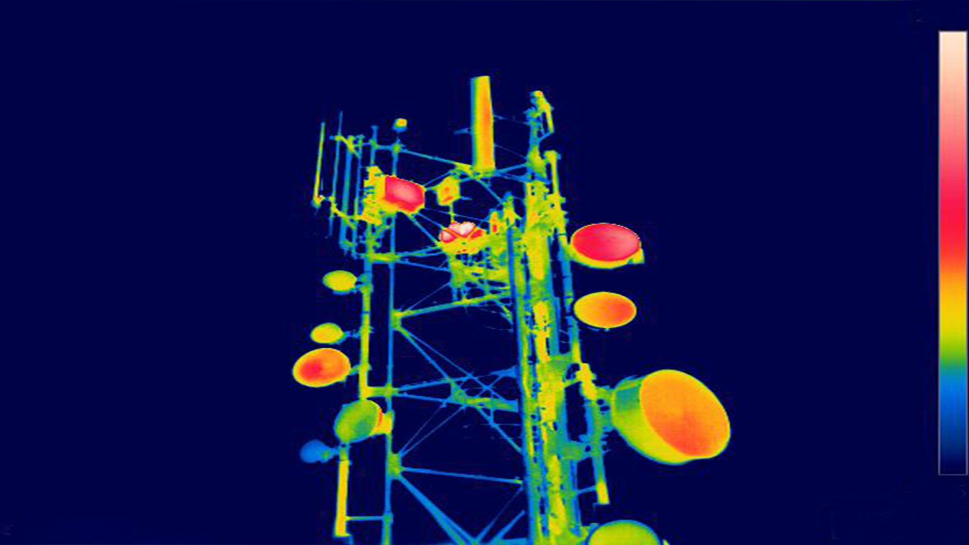
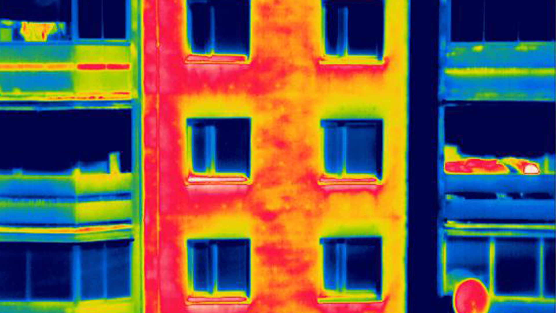
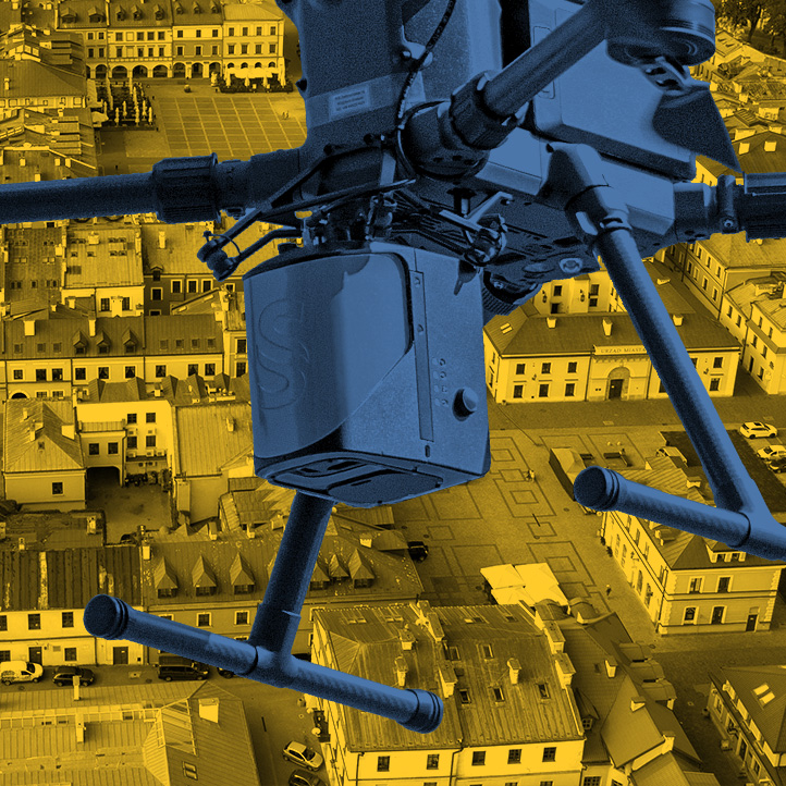
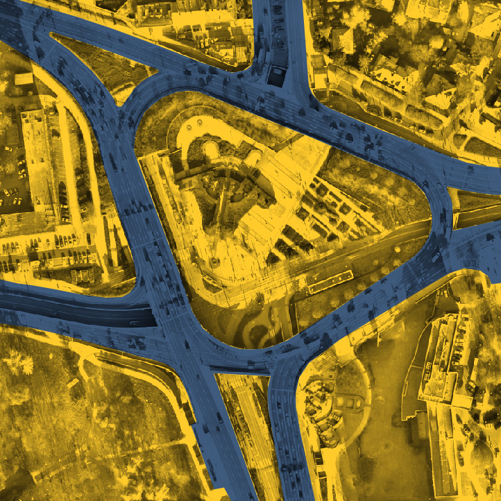
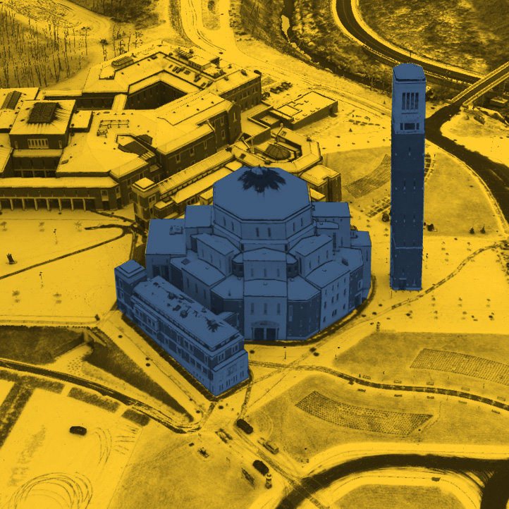
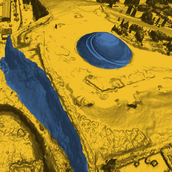
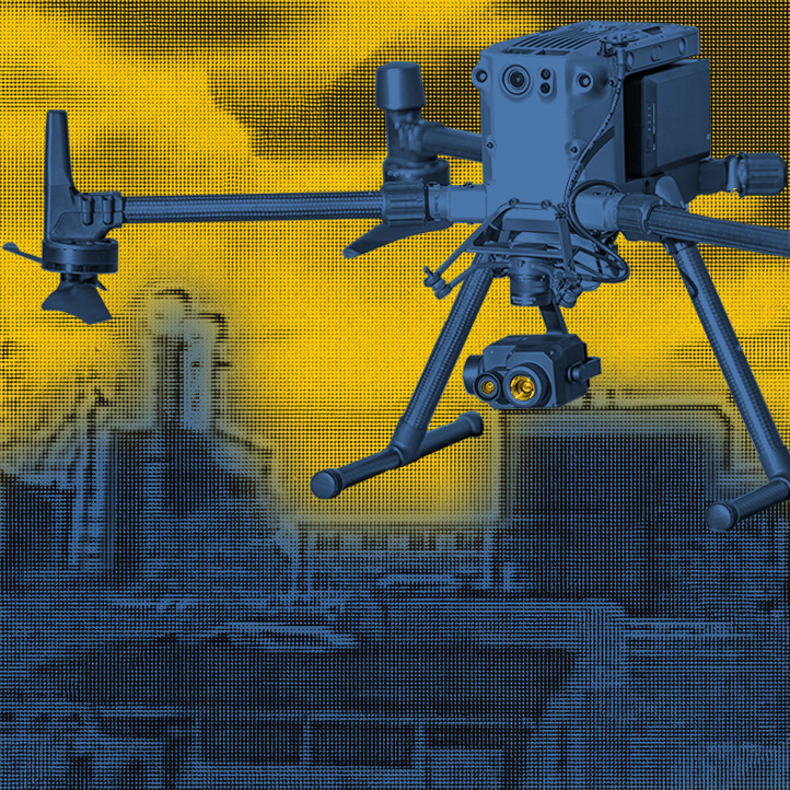
Infrared thermography, commonly known as “thermal imaging,” is the recording and analysis of thermal information acquired non-contact for thermal imaging of objects. It involves observing, recording and analyzing the temperature distribution and its values on the external surface of the object under study. We perform aerial thermal imaging by placing cameras to record and visualize the temperature distribution on the surfaces of objects on our unmanned aerial vehicles. This new method reduces inspection time compared to measurements made with hand-held cameras from ground level, and also eliminates errors due to non-orthogonal measurements (differences in distance to different parts of objects). Our experienced operators make a precise flight approaching at a minimum and safe distance to the object to be surveyed, resulting in a study with high accuracy. During the survey performed with aerial techniques, we also record data that cannot be obtained from the ground. We use the following data analysis methods: Thermal imaging surveys make it possible to quickly and accurately locate failure sites. They make it possible to detect technological defects in walls, roofs, errors in insulation, thermal bridges, dampness, assess the condition of insulation, detect any defects that cause significant heat loss. With cyclic measurements, they complement periodic maintenance and help prevent failures. They can be part of the as-built acceptance documentation of buildings or installations. Examples of applications:Thermal imaging with aerial techniques
Aerial thermovision applications

