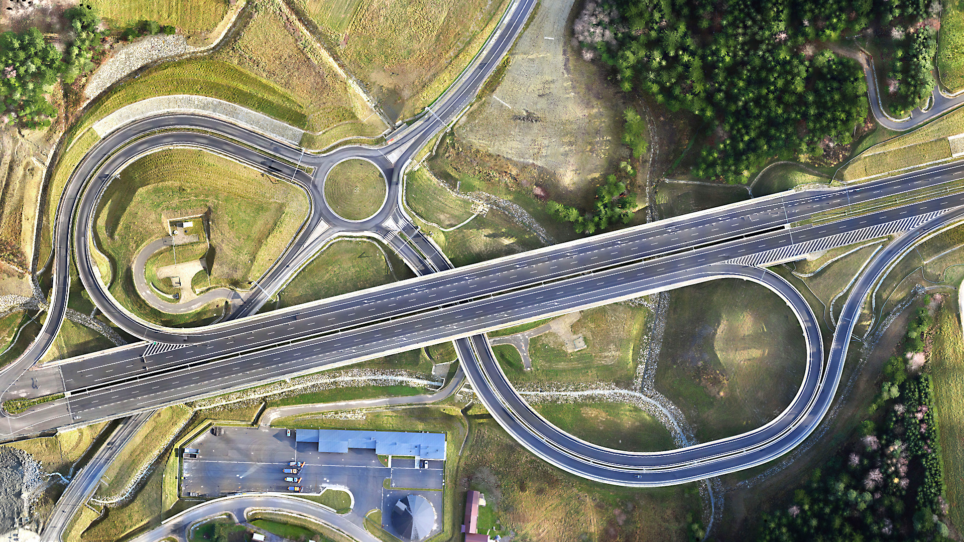
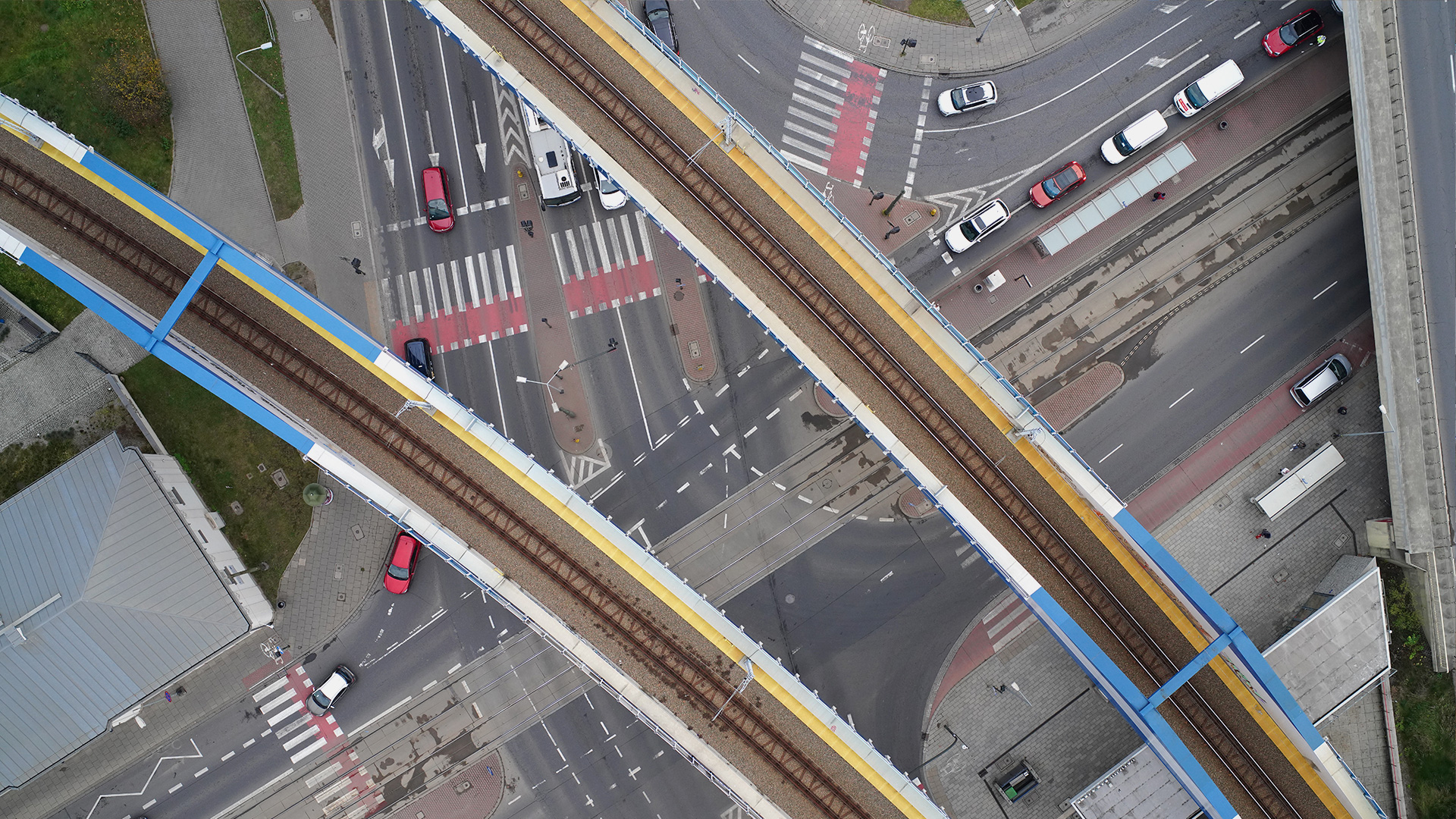
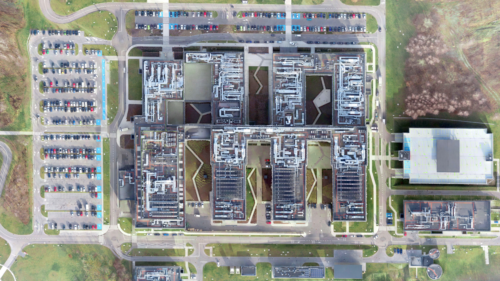
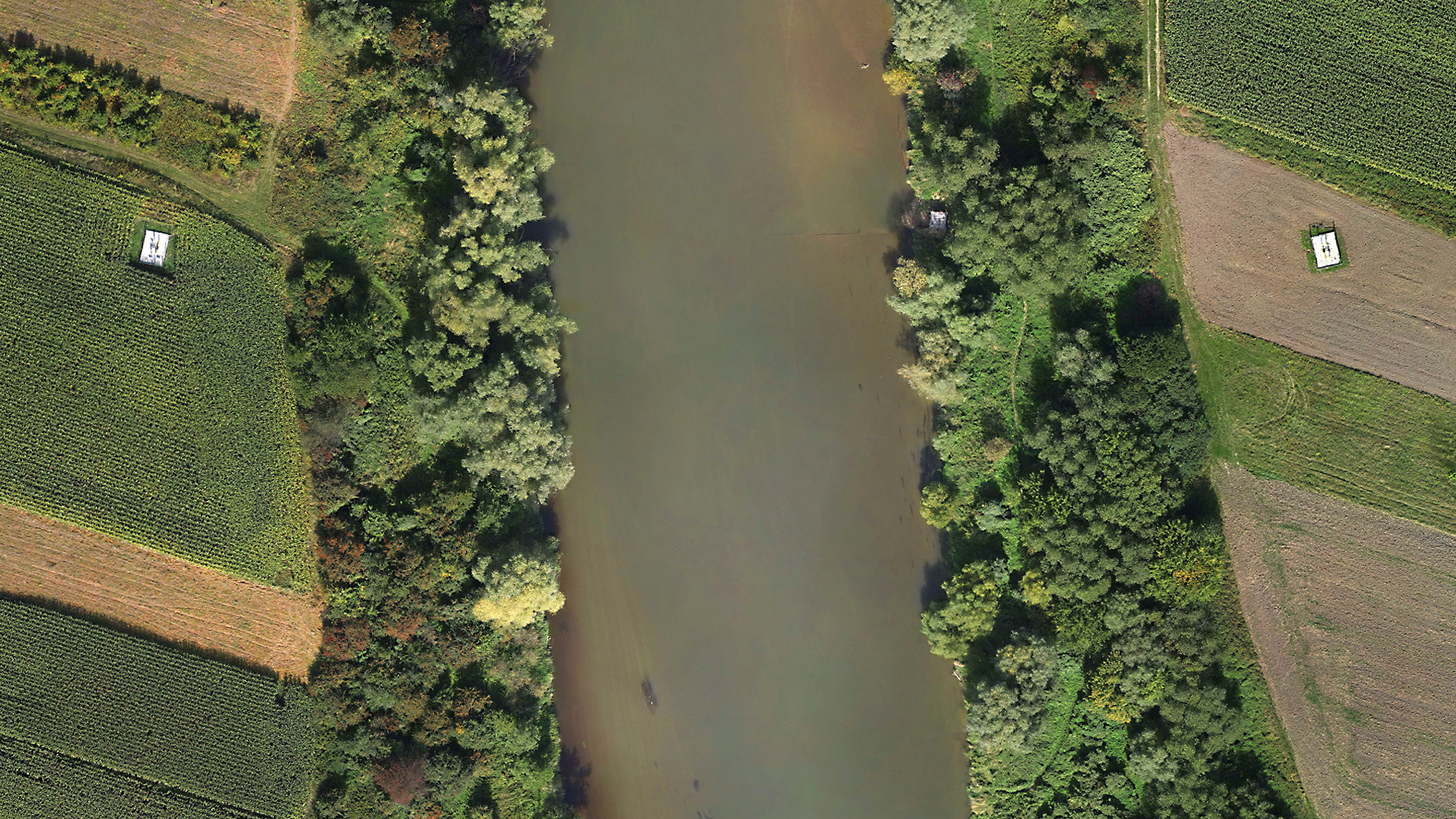
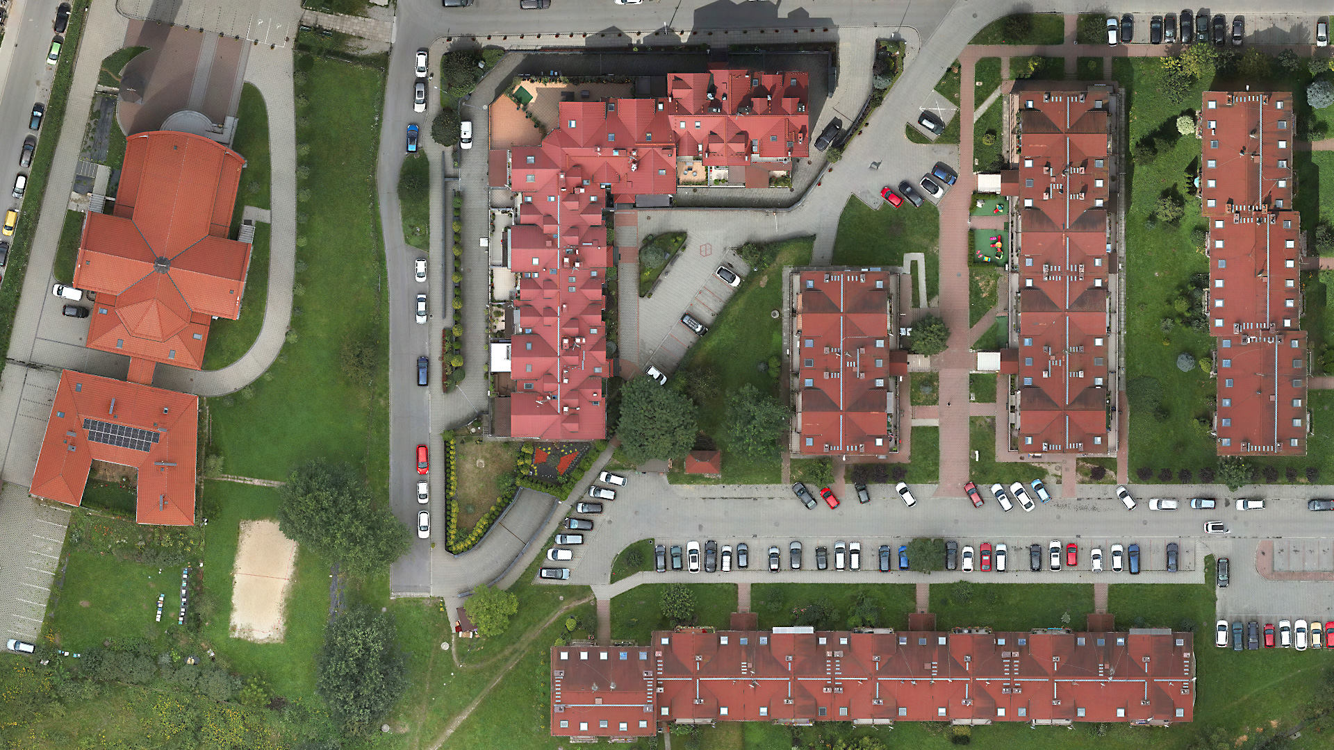
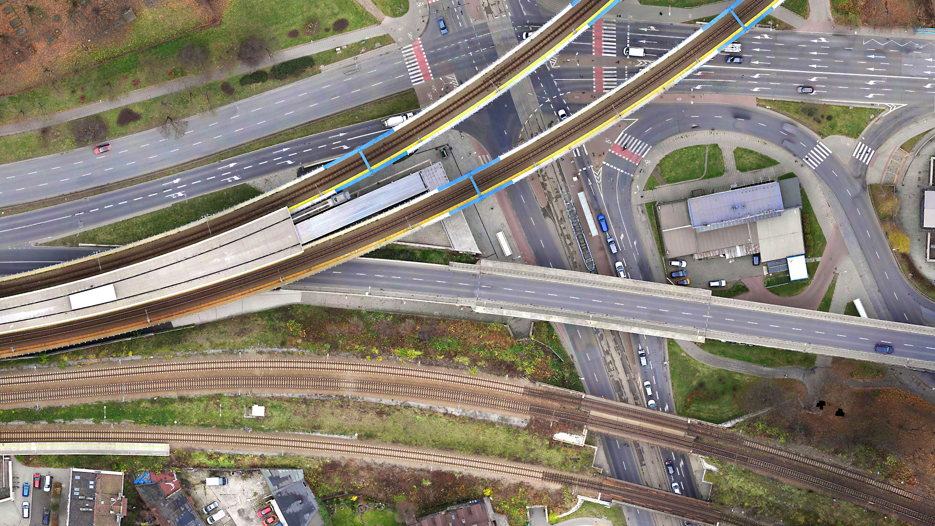
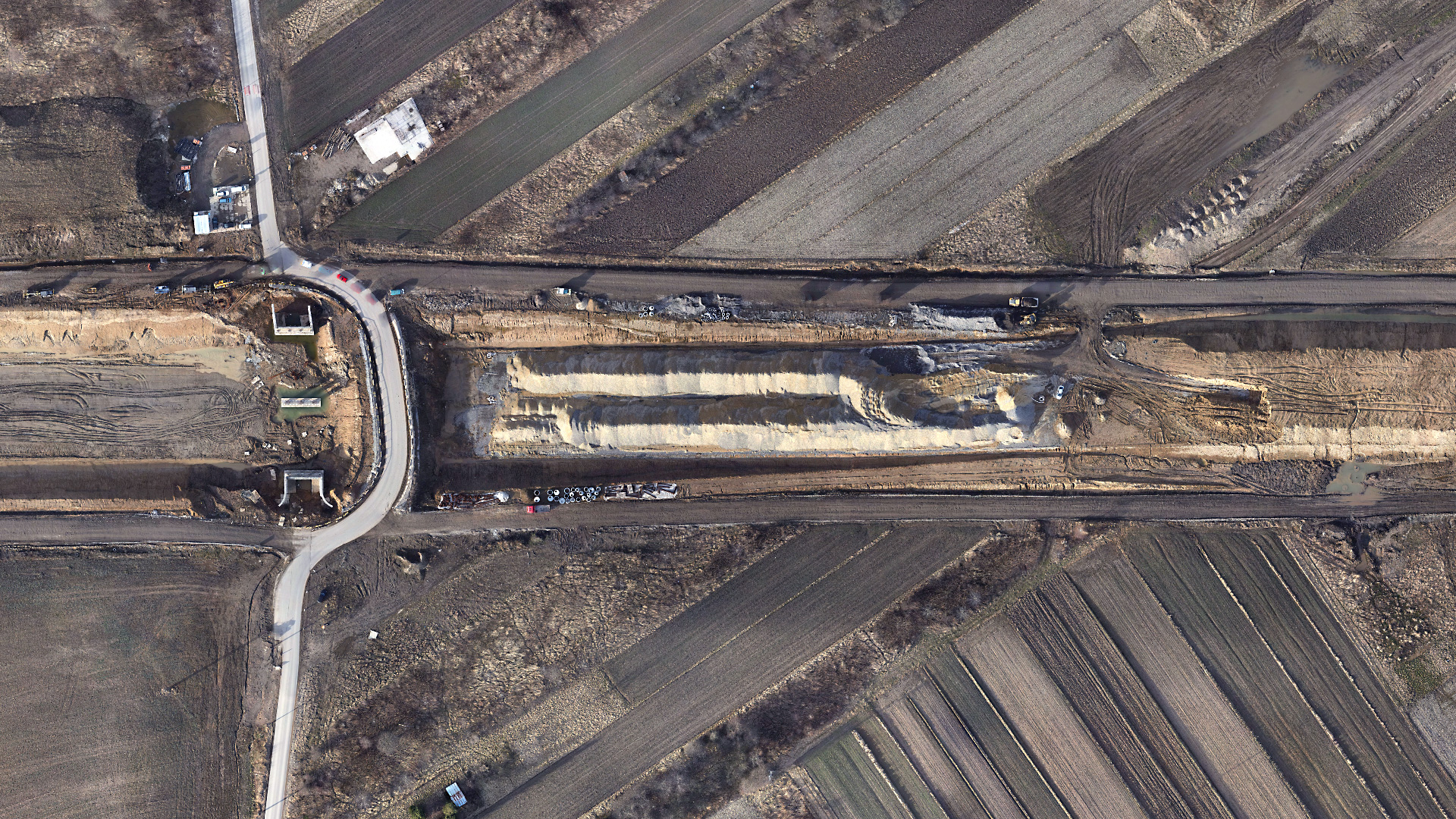
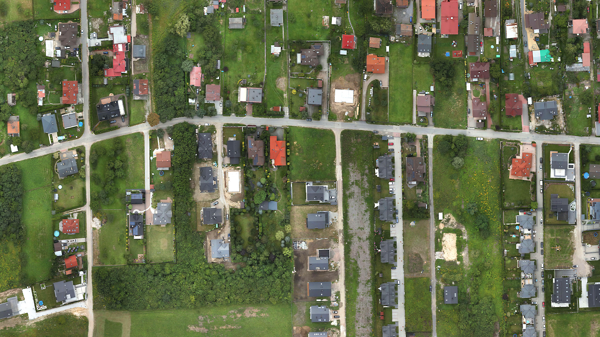
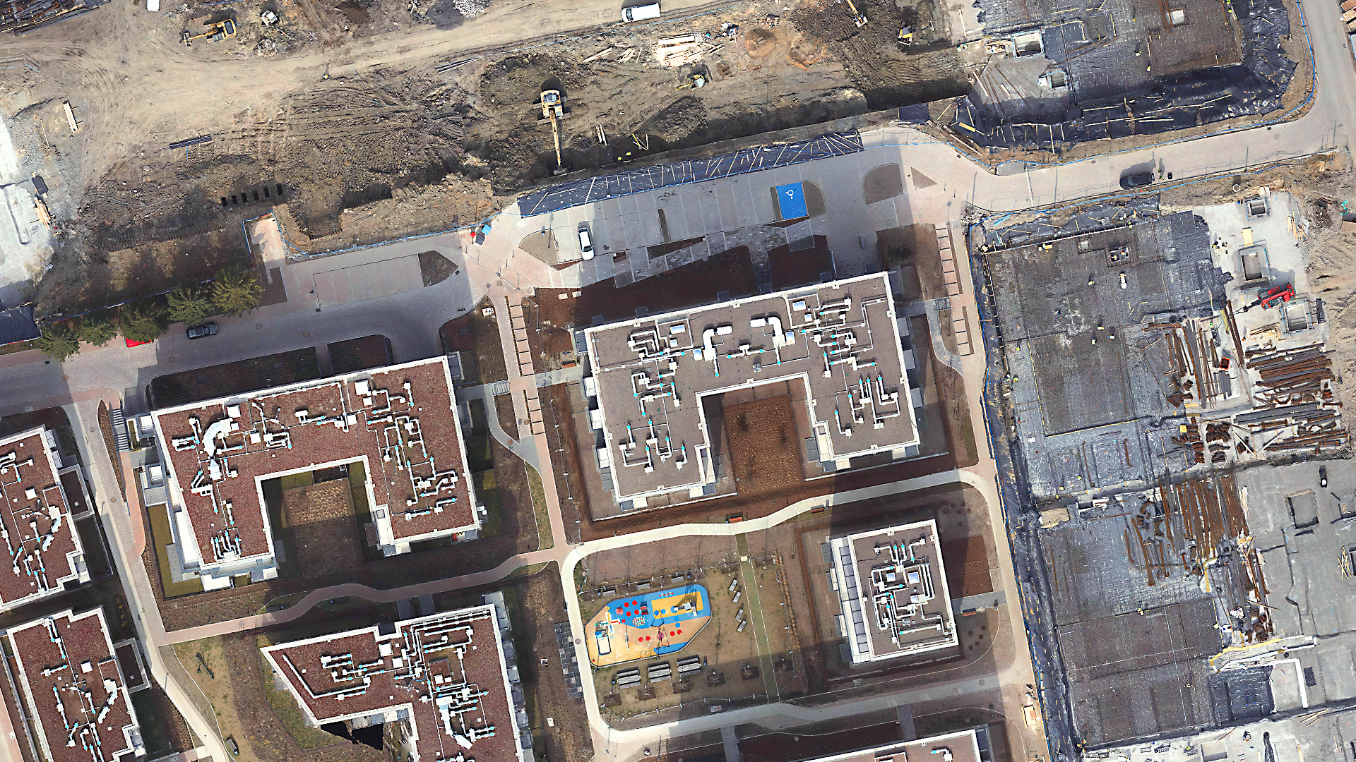
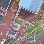
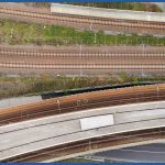
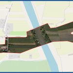
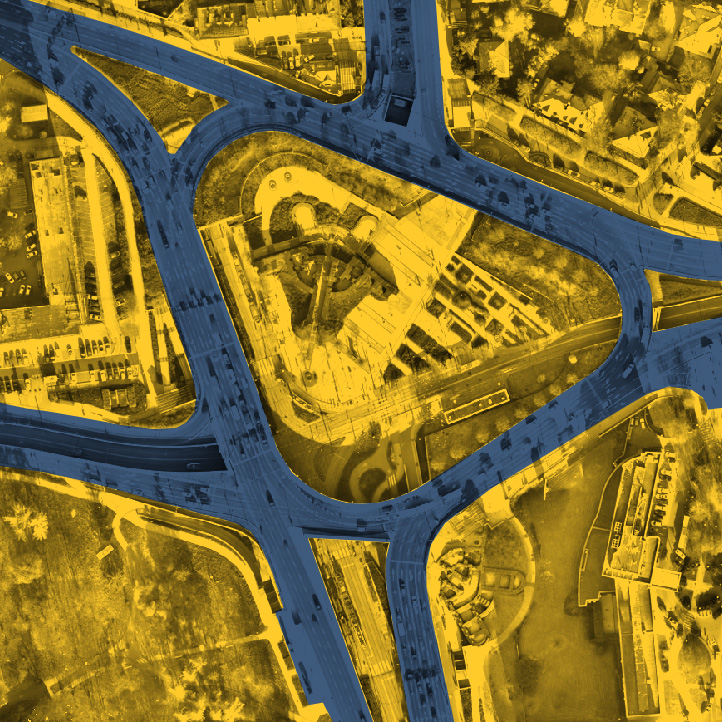
An orthophotomap is a series of aerial photographs of the surface and landforms, processed into a single image. Orthophotomap combines the features of photographs and a geodetic map. It is a raster, orthogonal and cartometric representation of the land surface, which is created by processing aerial photographs. The photographs are subjected to a series of transformations (internal, reciprocal and external) and then processed into the final product in a complex automatic graphic process (mosaicing). The orthophotomaps we make are distinguished by two main features: 1. They are high-resolution, because for their registration we use professional cameras with the highest parameters of lenses and matrices (obtainable spatial resolution of the map up to 1 cm) 2.They have high accuracy because our aircrafts are equipped with RTN/PPK systems, so that each photo, already during or shortly after the flight, receives an accurate location. In addition, we increase accuracy by using ground control points. The accuracy of our orthophotos does not differ from that obtained by classical survey methods. In addition, we make a “true” orthophoto, which differs from the “standard” one in that it is devoid of radial shift of objects rising above the terrain (no tilted objects and blind spots). Orthophotomaps provide extremely detailed terrain information. Orthophotomaps are made using low-altitude photogrammetry technology, we adjust the flight height to the required level of details. Thus, single pixels guarantee registration of the smallest details (e.g. asphalt cracks, rooftop defects). We also avoid the generalization of measurement and development occurring during traditional surveying. Thus, our orthophotos are much more legible than classic vector maps, giving clear information about land use. Another advantage is the short realisation time. Photogrammetric flight and processing is much faster than classical surveying and vector mapping. The larger the study area, the more noticeable this difference is. Due to the use of aerial techniques, our measurement is also performed in inaccessible and dangerous places. Also, the measurement does not force the interruption of work and processes in the objects that are mapped. For example: there is no need to stop traffic on railroad tracks, turn off electricity in substations or stop machinery while measuring excavations. It is extremely important that the speed of the measurement performed does not affect obtained accuracy. They are comparable to commonly performed surveying measurements for updating maps. The accuracy of each product offered is confirmed by measurements of control points and supported by reports from specialized image processing software. The orthophotomap, due to the use of photographic documentation, provides full credibility, and is not disputed in contentious situations. Orthophotos with the accuracy and resolution we offer are finding applications in many industries. Due to their advantages, they are increasingly displacing classic surveys. Examples of applications: The examples shown are only a part of the applications of orthophotos. More applications are presented on our site in specific industries. What is an orthophotomap?
Advantages of orthophotomaps
Infinite range of applications
INTERACTIVE VISUALIZATION - HIGH-RESOLUTION ORTHOPHOTOMAP

